Elevation of NImmanapalli, Andhra Pradesh, India
Location: India > Andhra Pradesh > Chittoor >
Longitude: 78.6675305
Latitude: 13.5714548
Elevation: 592m / 1942feet
Barometric Pressure: 94KPa
Elevation Map:
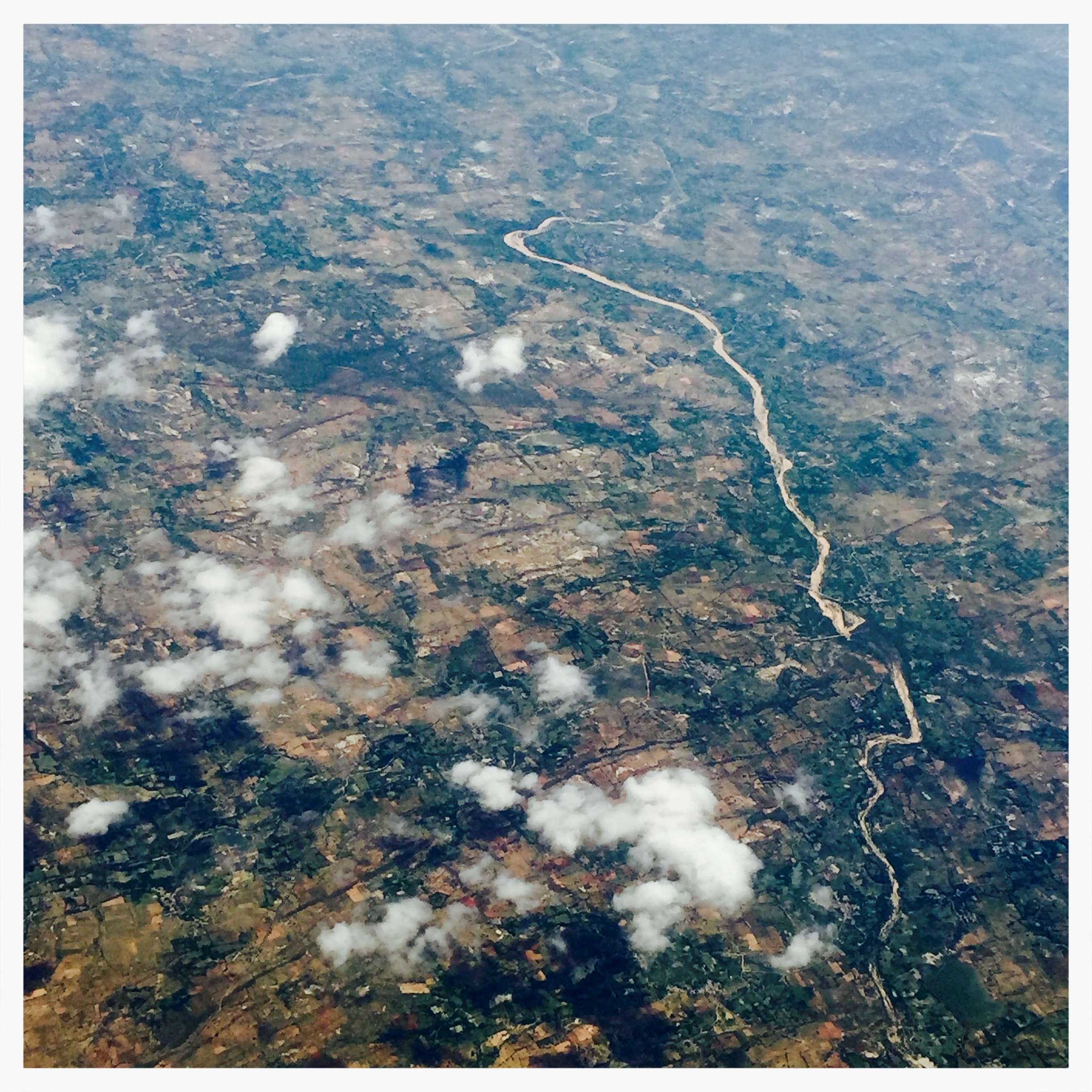
Satellite Map:
Related Photos:
Topographic Map of NImmanapalli, Andhra Pradesh, India
Find elevation by address:

Places near NImmanapalli, Andhra Pradesh, India:
Madanapalle
Kadirayacheruvu
Theneegalavaripalle
Horsley Hills Top Point
Horsley Hills Viewpoint
Horsley Hills
Horsley Hills Haritha Hill Resort
Chembakur
Chintamanipalli
Ramasamudram
Bommanapalli
Bommanapalli Bus Stop
Gundugallu
Palamaner
T.sakibanda
Veligallu Dam Reservoir
Pyarampalle
Kokkanti
Kandukuru
Venkatagirikota
Recent Searches:
- Elevation of Corso Fratelli Cairoli, 35, Macerata MC, Italy
- Elevation of Tallevast Rd, Sarasota, FL, USA
- Elevation of 4th St E, Sonoma, CA, USA
- Elevation of Black Hollow Rd, Pennsdale, PA, USA
- Elevation of Oakland Ave, Williamsport, PA, USA
- Elevation of Pedrógão Grande, Portugal
- Elevation of Klee Dr, Martinsburg, WV, USA
- Elevation of Via Roma, Pieranica CR, Italy
- Elevation of Tavkvetili Mountain, Georgia
- Elevation of Hartfords Bluff Cir, Mt Pleasant, SC, USA