Elevation of Pack Saddle Rd, Hartsel, CO, USA

Location: United States > Colorado > Hartsel >

Longitude: -105.88881

Latitude: 38.880982

Elevation: 2844m / 9331feet

Barometric Pressure: 71KPa

Elevation Map:

elevation map of Pack Saddle Rd, Hartsel, CO, USA

Satellite Map:

Satellite map of Pack Saddle Rd, Hartsel, CO, USA

Related Photos:

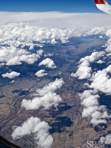
travel sky clouds geotagged colorado aerial airborne omd arkansasriver olympusem1 olympusm1240mmf28
North along the Arkansas
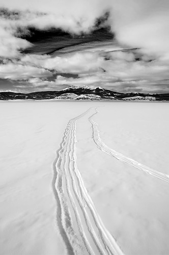
bw blackandwhite cloud landscape mountain mtantero mtprinceton buenavista colorado
Arkansas Valley
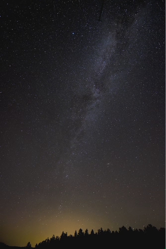
sky night stars video colorado galaxy milkyway
Colorado Milky Way in Motion - Full View
county autumn panorama mountain mountains color tree fall yellow pine colorado pano meadow panoramic ridge co aspen chaffee sanisabelnationalforest ptgui elkmountainranch
Big Land - Autumn in Colorado Panorama
The Way Through Antero
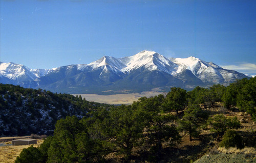
geotagged colorado princeton shot12 peaks mtprinceton image:Shot=12 camera:model=eoselan event:Type=travel event:Group=joes event:Code=199811p image:NegPage=0280 image:Roll=956 address:Tag=mtprinceton
Colorado Peaks exploration
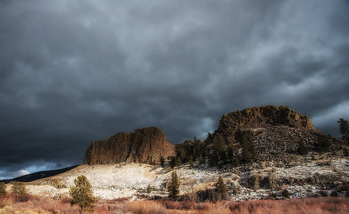
winter mountains southwest nature forest colorado view roadtrip buenavista co chaffeecounty castlerockgulch
View of Castle Rock Gulch Area
mountains southwest colorado buenavista co
BV Castle Rock Gulch 075
ranch family colorado pat
The front yard
geotagged colorado shot11 peaks resevoir image:Shot=11 camera:model=eoselan event:Type=travel event:Group=joes event:Code=199811p image:NegPage=0280 image:Roll=956
Colorado Peaks exploration
geotagged colorado shot10 peaks resevoir 199811ptravelcoloradopeak image:Shot=10 camera:model=eoselan event:Group=joes event:Code=199811ptravelcoloradopeak image:NegPage=0280 image:Roll=956
Colorado Peaks exploration
travel vacation usa mountains fall america colorado rockymountains 2011 pikepeak
Pikes Peak fall 2011 #4
2017-02-04 13.22.40
2017-02-04 13.22.35
park county film south hasselblad 100 60mm cf distagon 500cm ektar r00066
alluvial stream and cows, south park, co
2017-02-04 13.27.24
HEBERT 48
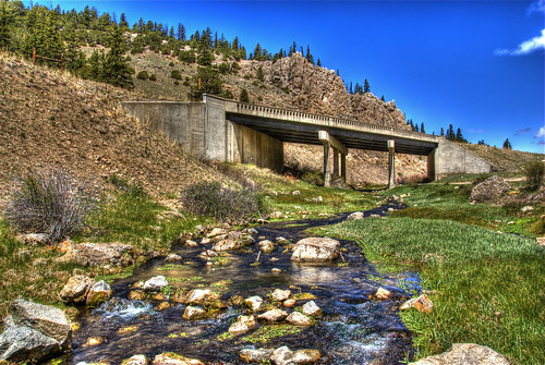
bridge blue trees sky water grass creek landscape rocks span hdr bridging chaffeecounty troutcreek photomatix 200805 bridgepixing bridgepix johnsonvillage
Trout Creek Bridge
1800 1d 1dmark4 1dmarkiv 1div 28300mm 80 85mm canon colorado coloradosprings digital ef28300mm ef28300mmf3556lisusm eos eos1d eos1dmarkiv esplora explore explored f8 mark4 markiv photo pic pretty renown superzoom unitedstates usa buenavista geo:lat=3886638880 geo:lon=10602138880 geotagged newett mountains rocky rockymountains snow white brown black co limestoneridge
Limestone Ridge
Camera Roll-57
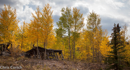
autumn usa canon cabin colorado unitedstates roadtrip buenavista co autumncolor hartsel us285 ef24105f4l 5dmkii
_MG_0313.jpg
Camera Roll-142
colorado unitedstates hartsel
Ice Lake
colorado unitedstates hartsel
KPOW 2013--Week 46: No ideas right now
ranch colorado skies
IM001506.JPG
Colorado - Trout Creek Pass - 28 May 1972
Camera Roll-58
colorado
Colorado - Trout Creek Pass - 28 May 1972
colorado unitedstates hartsel
Ice Lake
square lofi squareformat iphoneography instagramapp uploaded:by=instagram foursquare:venue=5025689febca980d6fce9172
on the way back from ute rock
uploaded:by=flickrmobile flickriosapp:filter=nofilter
Hwy 285