Elevation of Hartsel, CO, USA

Location: United States > Colorado > Hartsel >

Longitude: -105.82902

Latitude: 38.9353969

Elevation: 2742m / 8996feet

Barometric Pressure: 72KPa

Elevation Map:

elevation map of Hartsel, CO, USA

Satellite Map:

Satellite map of Hartsel, CO, USA

Related Photos:

ranch mountain mountains river colorado cattle south meadow meadows co platte southplatte southplatteriver hartsel hartselcolorado hartselco
South Platte River: Hartsel, Colorado (CO)
sky night stars video colorado galaxy milkyway
Colorado Milky Way in Motion - Full View
sky mountains west nature weather clouds outdoors colorado view photomerge dramaticsky hdr highdynamicrange americanwest theamericanwest thewest
Colorado mountains and dramatic sky
The Way Through Antero
ranch mountains buffalo highway colorado 9 24 bison range buffalos buffaloes hartsel buffalopeaks
2 June 12 Buffalo and Buffalo Peaks
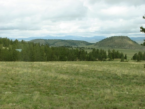
mountains fog colorado raw gimp farms ufraw hartsel co9
Along CO-9
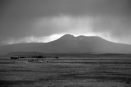
bw mountains fog colorado raw gimp farms ufraw hartsel co9
Along CO-9 (black & white)
ranch family colorado pat
The front yard
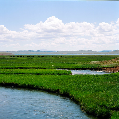
park county film south hasselblad 100 60mm cf distagon 500cm ektar r00066
alluvial stream and cows, south park, co
bridge blue trees sky water grass creek landscape rocks span hdr bridging chaffeecounty troutcreek photomatix 200805 bridgepixing bridgepix johnsonvillage
Trout Creek Bridge
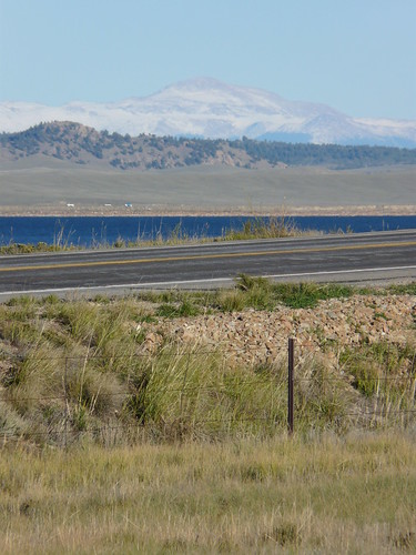
U.S. Route 24-285, Between Buena Vista and Hartsel, Colorado
travel vacation usa fall america colorado 2013
Pikes Peak
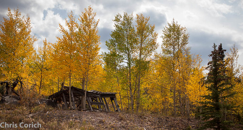
autumn usa canon cabin colorado unitedstates roadtrip buenavista co autumncolor hartsel us285 ef24105f4l 5dmkii
_MG_0313.jpg
1250 160 1div 2016 235mm barns blue brown canon co colorado coloradosprings ef28300mm ef28300mmf3556lisusm eos1dmarkiv explore f16 hartsel landscape orange pikespeak red superzoom telephoto unitedstates usa yellow geo:lat=3902105509 geo:lon=10580009052 geotagged outdoor buildings building west lookingeast best wonderful perfect fabulous great photo pic picture image photograph esplora explored
Pike's Peak
mountain mountains river colorado southpark meander oxbow wondersofnature middleforksouthplatteriver earthnaturelife
Fickle Water
american bison buffalo white southpark mountain mountains highcountry ranch rural roadside colorado
White Buffalo
animals colorado 2017 usa landscapes flickr cows unitedstatesofamerica gps mammals
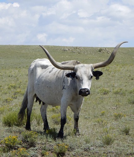
Long-horned
Establishing Shot - Antero Reservoir, Park County - October 2018
snow colorado co unitedstates us canon7dmarkii ef24105mm house small parkcounty landscape sky cloud horizon winter desert nature outdoors plateau sand tundra standing weather cumulus field outdoor land ecosystem ecoregion cloudy scenery steppe noperson clouds person plain plant travel freezing
Little House in the Middle of Somewhere
Establishing Shot - Park County CO - September 2018
U.S. Route 24-285, Between Buena Vista and Hartsel, Colorado
U.S. Route 24-285, East of Buena Vista, Colorado
ranch flowers wild horse mountains field river landscape colorado stream springs grazing beatuiful hertsel
Hertsel Horse
landscape colorado route 24 canona1 velvia50 fd2035l mikegrados
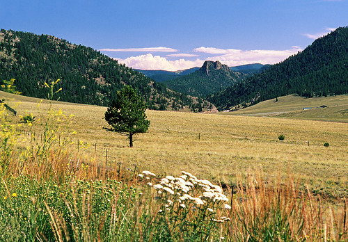
Route 24 Looking South