Elevation of Orchard City, CO, USA
Location: United States > Colorado > Delta County >
Longitude: -107.97089
Latitude: 38.8283161
Elevation: 1660m / 5446feet
Barometric Pressure: 83KPa
Elevation Map:
Satellite Map:
Related Photos:

Pacing on Highway 92
Yet Another View of The Drive In
Business Section - Delta, Colorado

Like a toothless grin

Gunnison Gorge from the trail

First Methodist Episcopal Church of Delta

Coffee and a cigarette

Old farm equipment #2
Old farm equipment #1

Delta, Colorado
Gunnison Gorge (Explore)
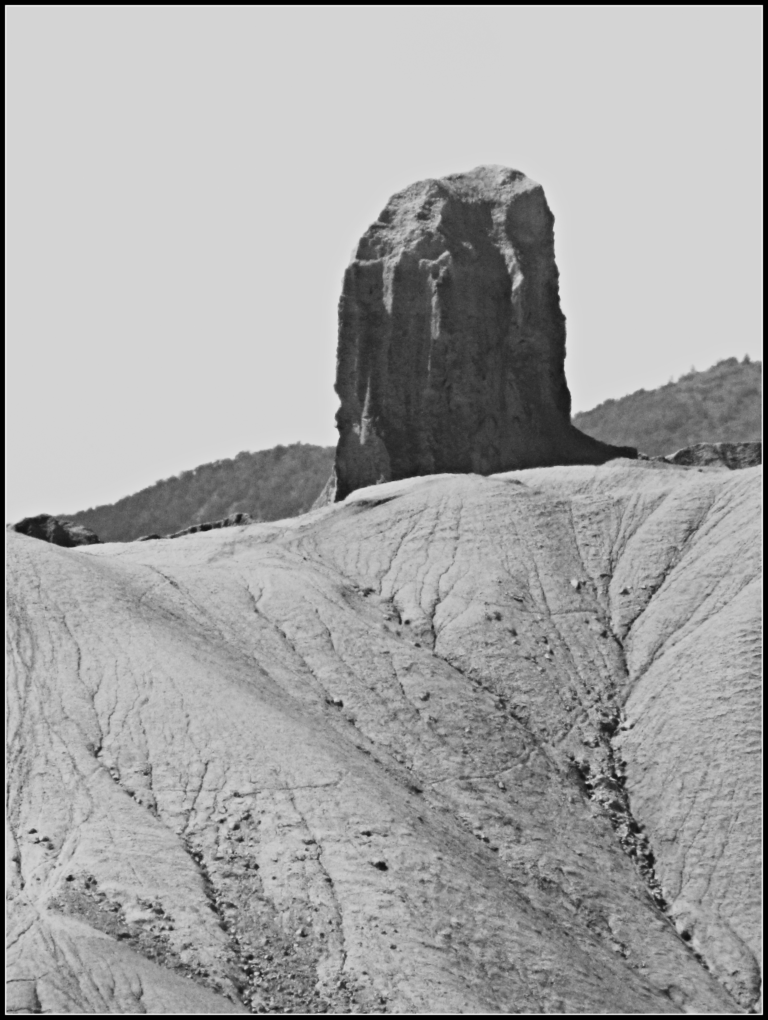
Devil's Thumb (close view)

_CEC9521 IOOF Meeting Hall - 1927

_CEC6667 The Hanging Bridge

2012-02-05_UP_94 Union Pacific freight at junction of main track

Highway 92 - Delta County, CO
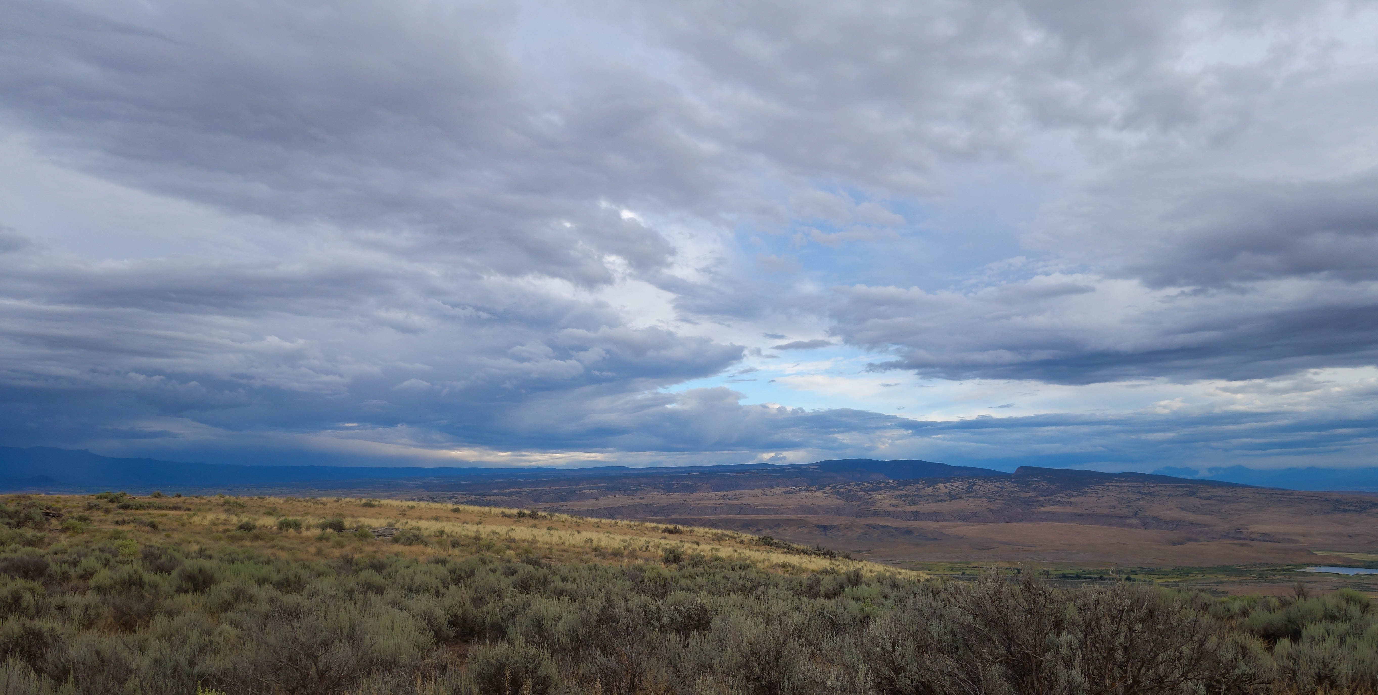
Mesas in the storm

Fluffy happy clouds
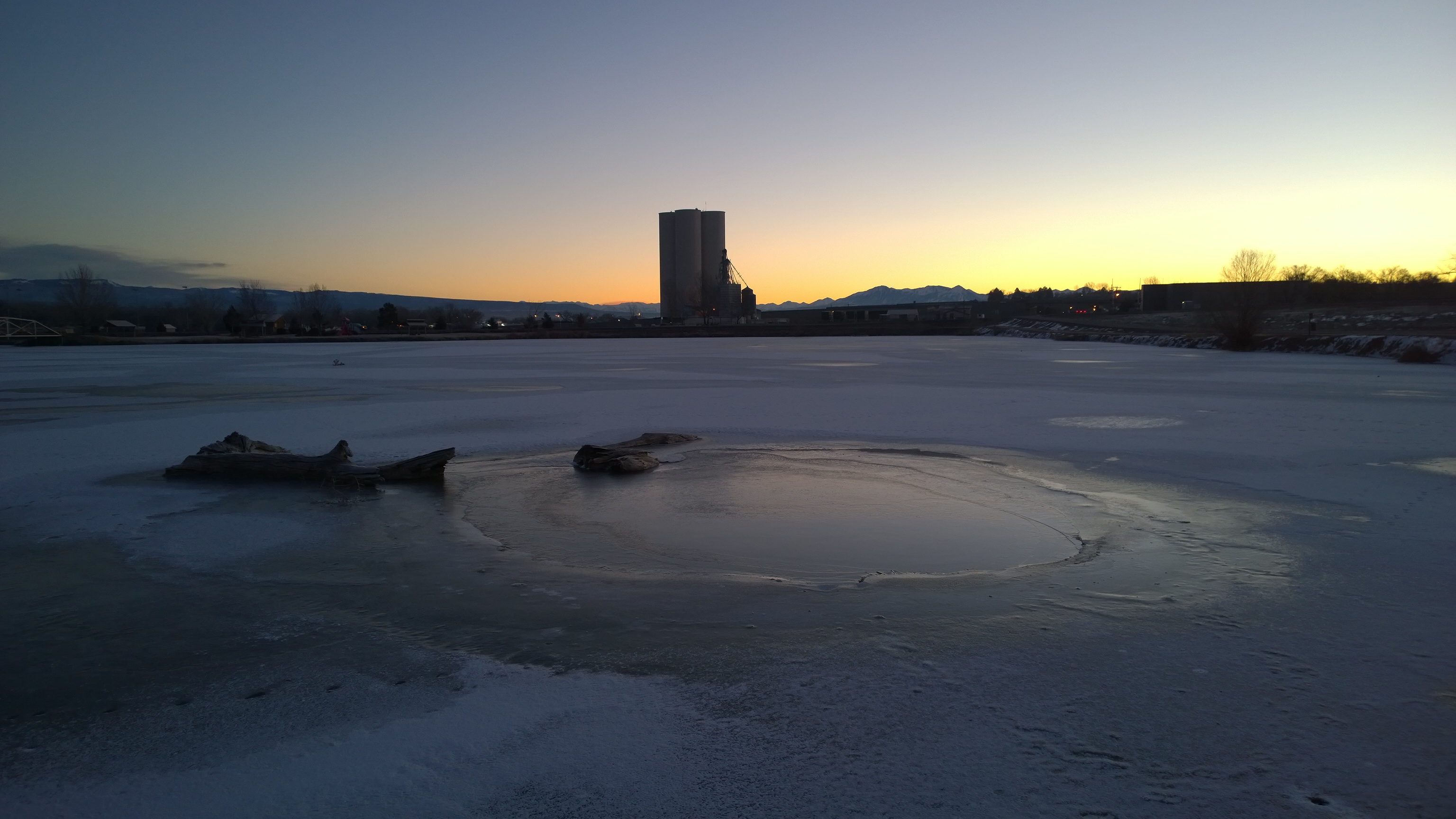
WP_20131226_07_06_12_Pro.jpg

WP_20131226_07_07_32_Pro.jpg
WP_20131226_07_23_52_Pro.jpg

WP_20131226_07_15_12_Pro.jpg

WP_20131226_07_13_24_Pro.jpg
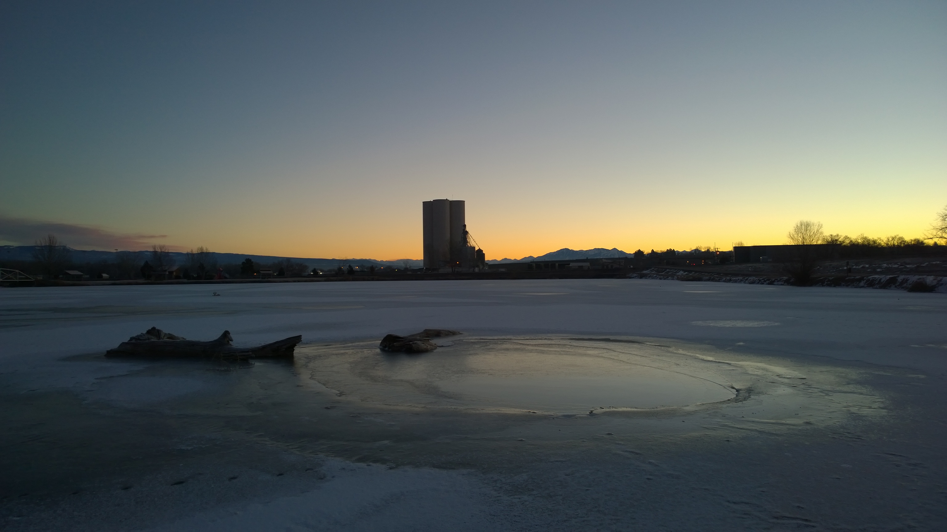
WP_20131226_07_07_32_Pro.jpg
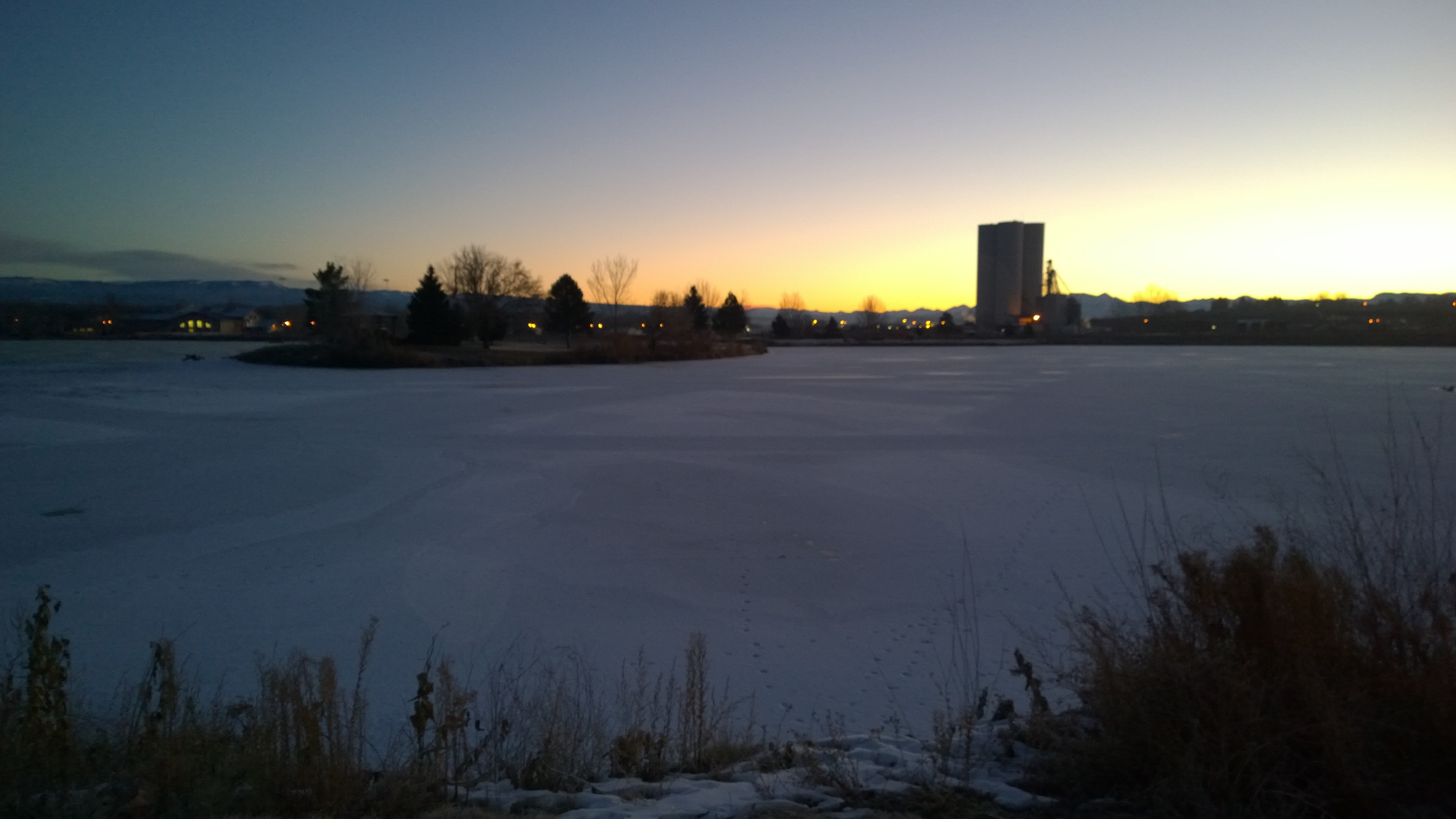
Fired up sunset over the Delta County dobies

WP_20131226_07_11_03_Pro.jpg

WP_20131226_07_12_32_Pro.jpg

WP_20131226_07_06_41_Pro.jpg

WP_20131226_07_23_52_Pro.jpg
WP_20131226_07_13_24_Pro.jpg
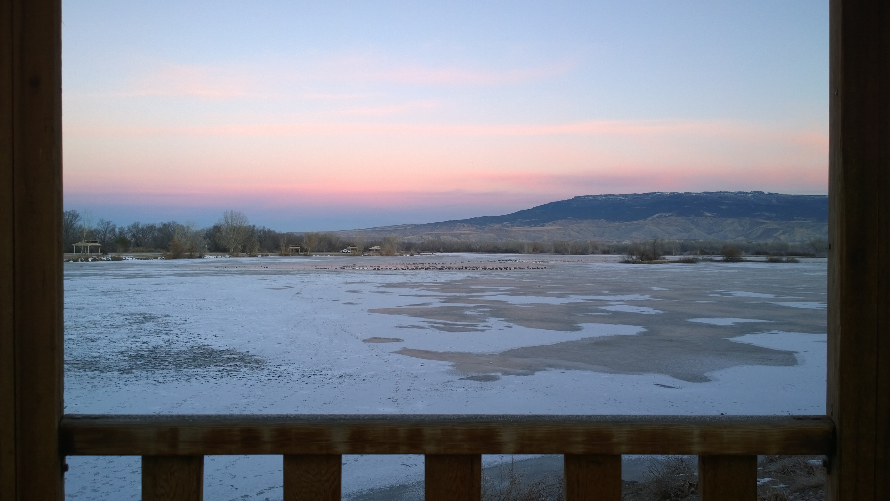
Early Snow on the West Elks
WP_20131226_07_12_32_Pro.jpg

WP_20131226_07_12_32_Pro.jpg
WP_20131226_07_15_12_Pro.jpg

Grand Mesa Scenic and Historic Byway
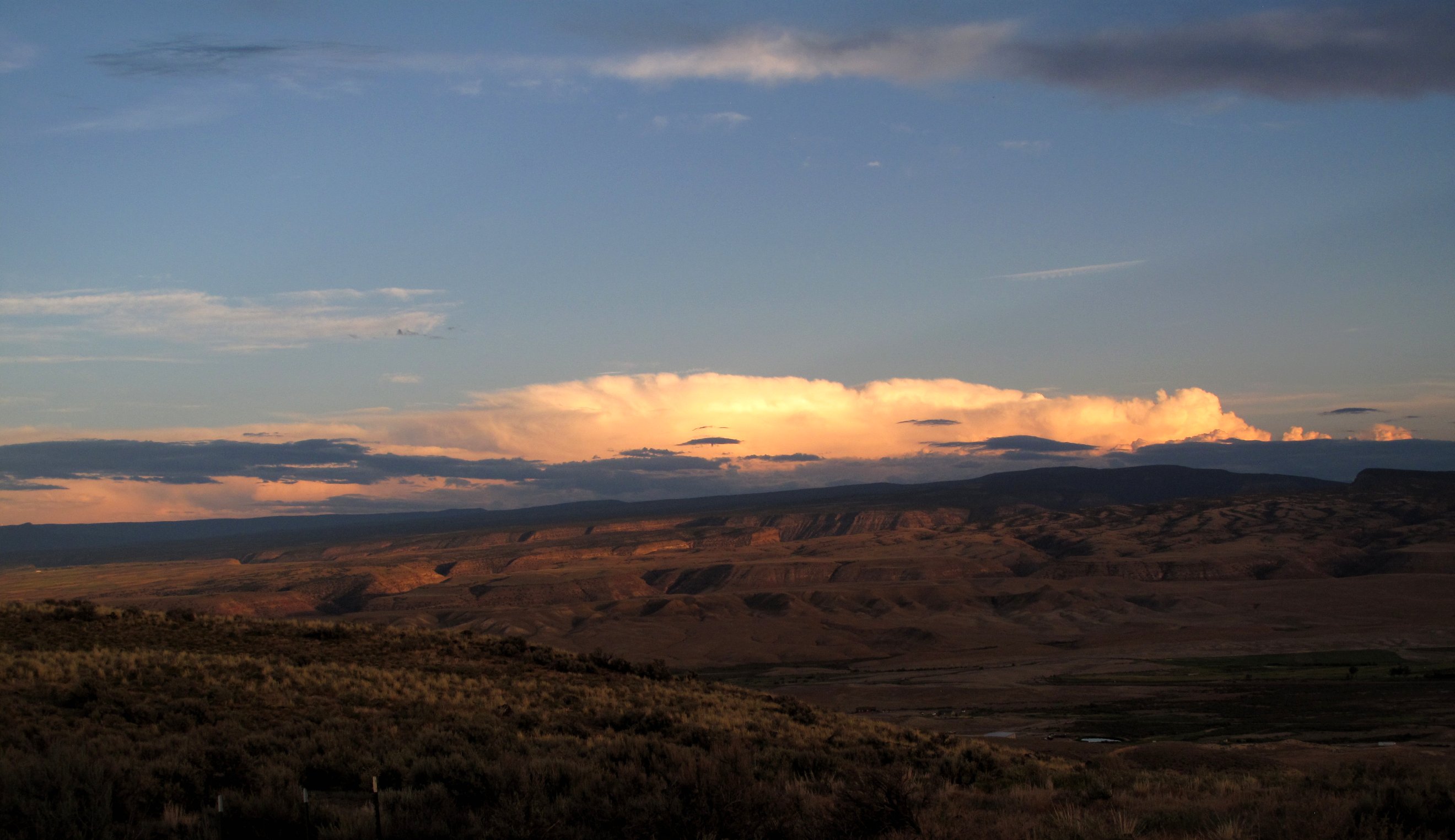
Sunset over the plateaus
Topographic Map of Orchard City, CO, USA
Find elevation by address:

Places in Orchard City, CO, USA:
Places near Orchard City, CO, USA:
12241 2165 Rd
Eckert
CO-65, Eckert, CO, USA
10894 Mesa View Loop
Mesa View Loop
8448 Marshalls Rd
8116 2200 Rd
CO-92, Delta, CO, USA
6469 2050 Rd
5417 Sunridge Dr
1779 Trappers Ct
I Road
1741 G Rd
500 Willow Wood Ln
1561 H38 Rd
734 1575 Rd
896 Terrace St
US-50, Delta, CO, USA
3708 2000 Rd
1298 Pioneer Rd
Recent Searches:
- Elevation of Corso Fratelli Cairoli, 35, Macerata MC, Italy
- Elevation of Tallevast Rd, Sarasota, FL, USA
- Elevation of 4th St E, Sonoma, CA, USA
- Elevation of Black Hollow Rd, Pennsdale, PA, USA
- Elevation of Oakland Ave, Williamsport, PA, USA
- Elevation of Pedrógão Grande, Portugal
- Elevation of Klee Dr, Martinsburg, WV, USA
- Elevation of Via Roma, Pieranica CR, Italy
- Elevation of Tavkvetili Mountain, Georgia
- Elevation of Hartfords Bluff Cir, Mt Pleasant, SC, USA