Elevation of Orbost VIC, Australia
Location: Australia > Victoria > East Gippsland Shire >
Longitude: 148.465346
Latitude: -37.702825
Elevation: 25m / 82feet
Barometric Pressure: 101KPa
Elevation Map:
Satellite Map:
Related Photos:
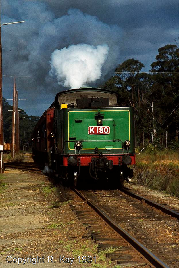
K-190 at Waygara.

20130808_0573 Railway tressle bridge near Orbost
Reborn.
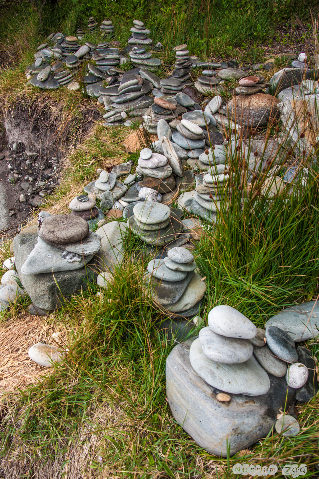
French's Narrows, Vic
20111108_Melbourne-Sydney_011.jpg
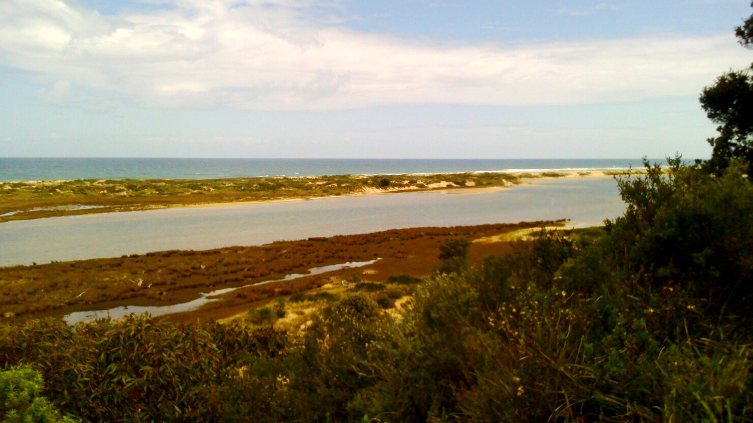
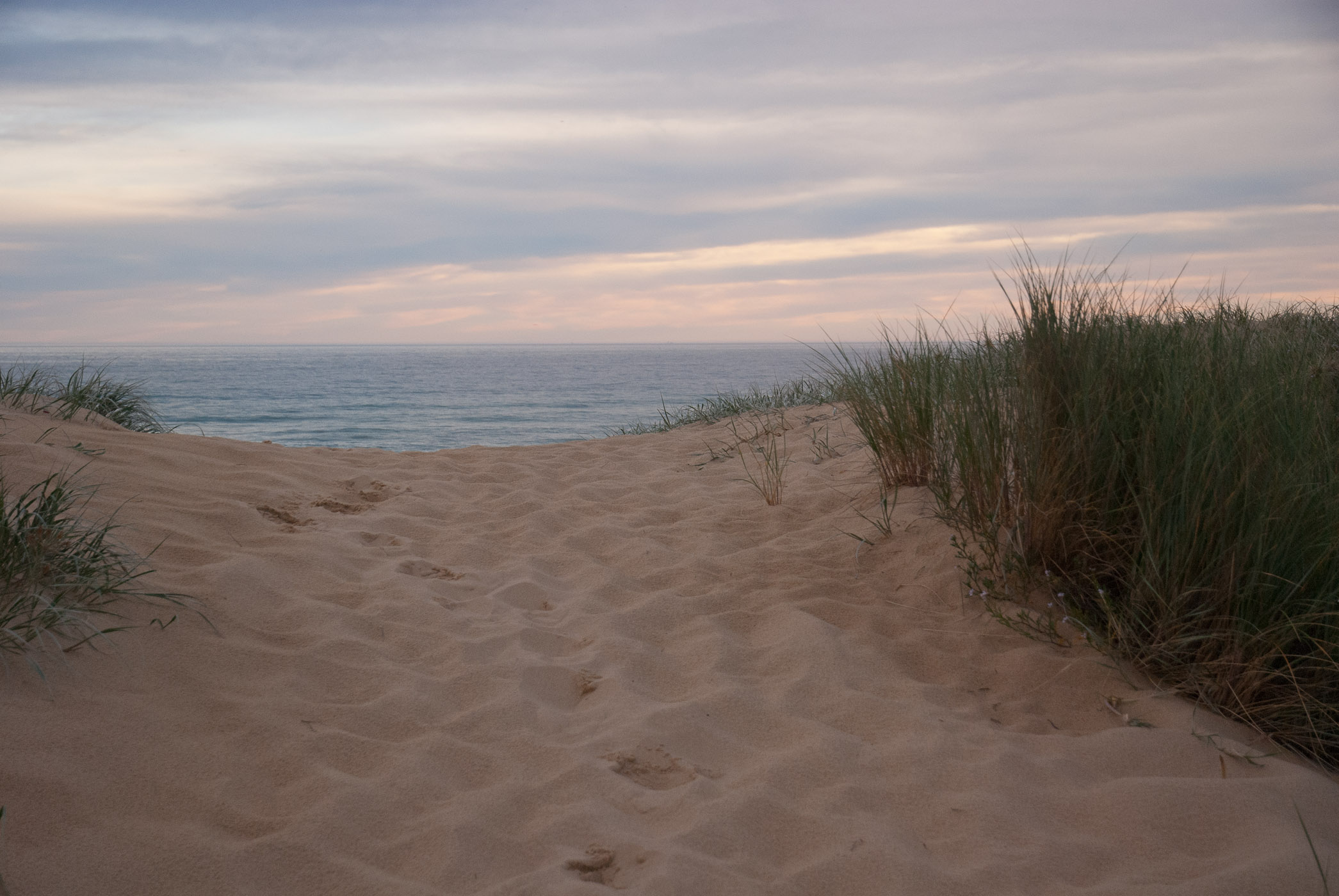
Snowy River mouth Estuary, Marlo, Victoria
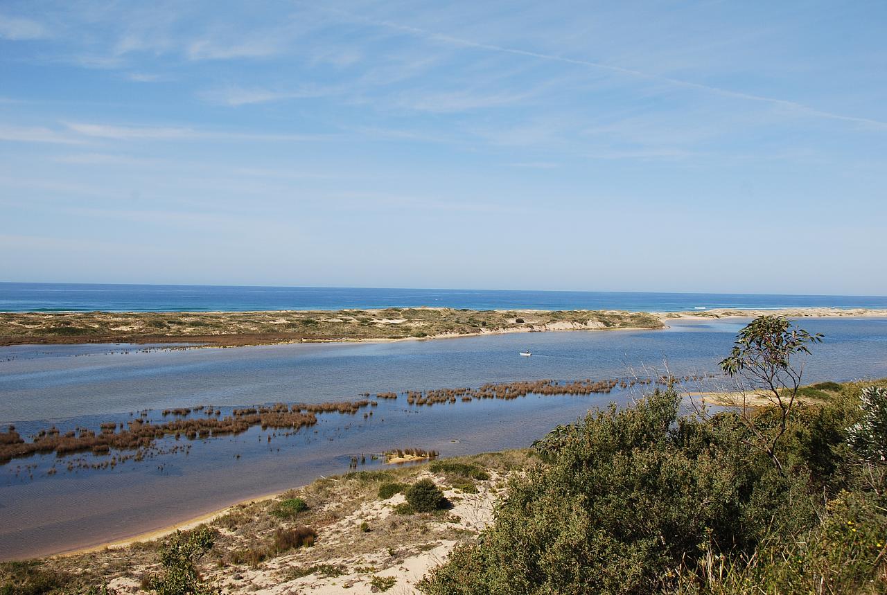
French's Narrows, Vic
french's narrow, cape conran
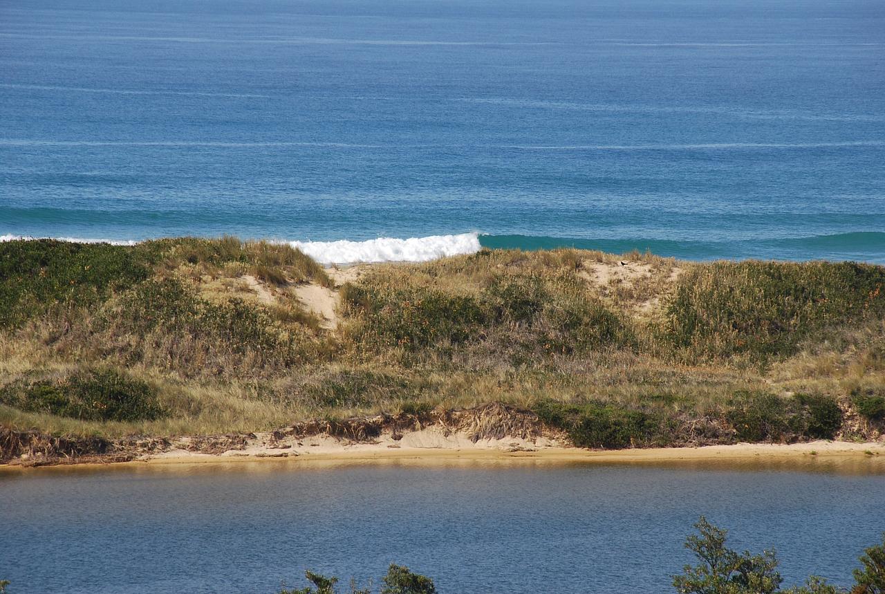
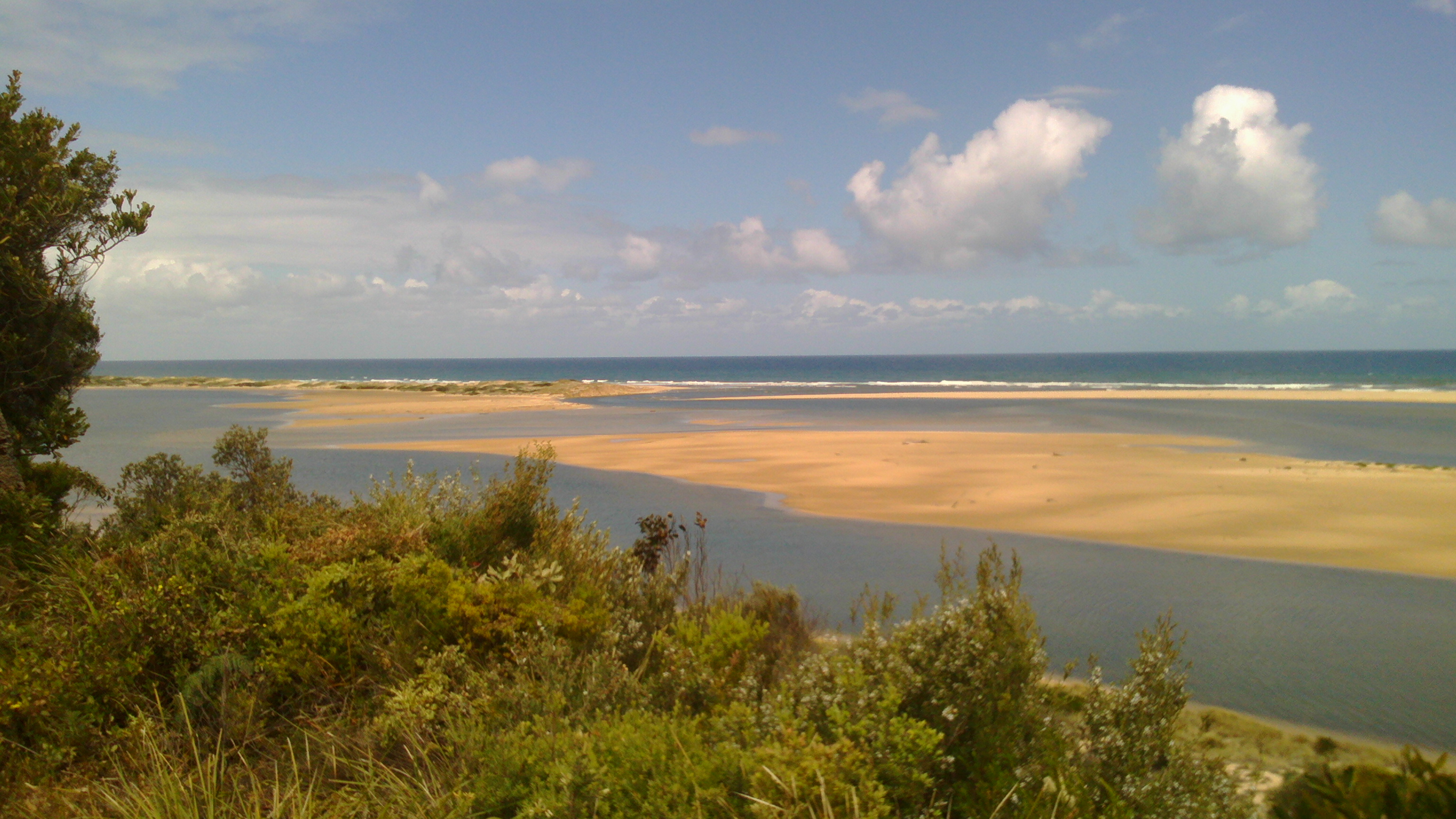
Mouth of the Snowy river at Marlo
20111108_Melbourne-Sydney_008.jpg
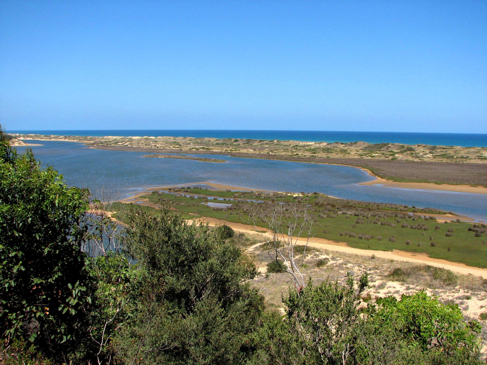
Snowy River mouth Estuary, Marlo, Victoria
Sur la route
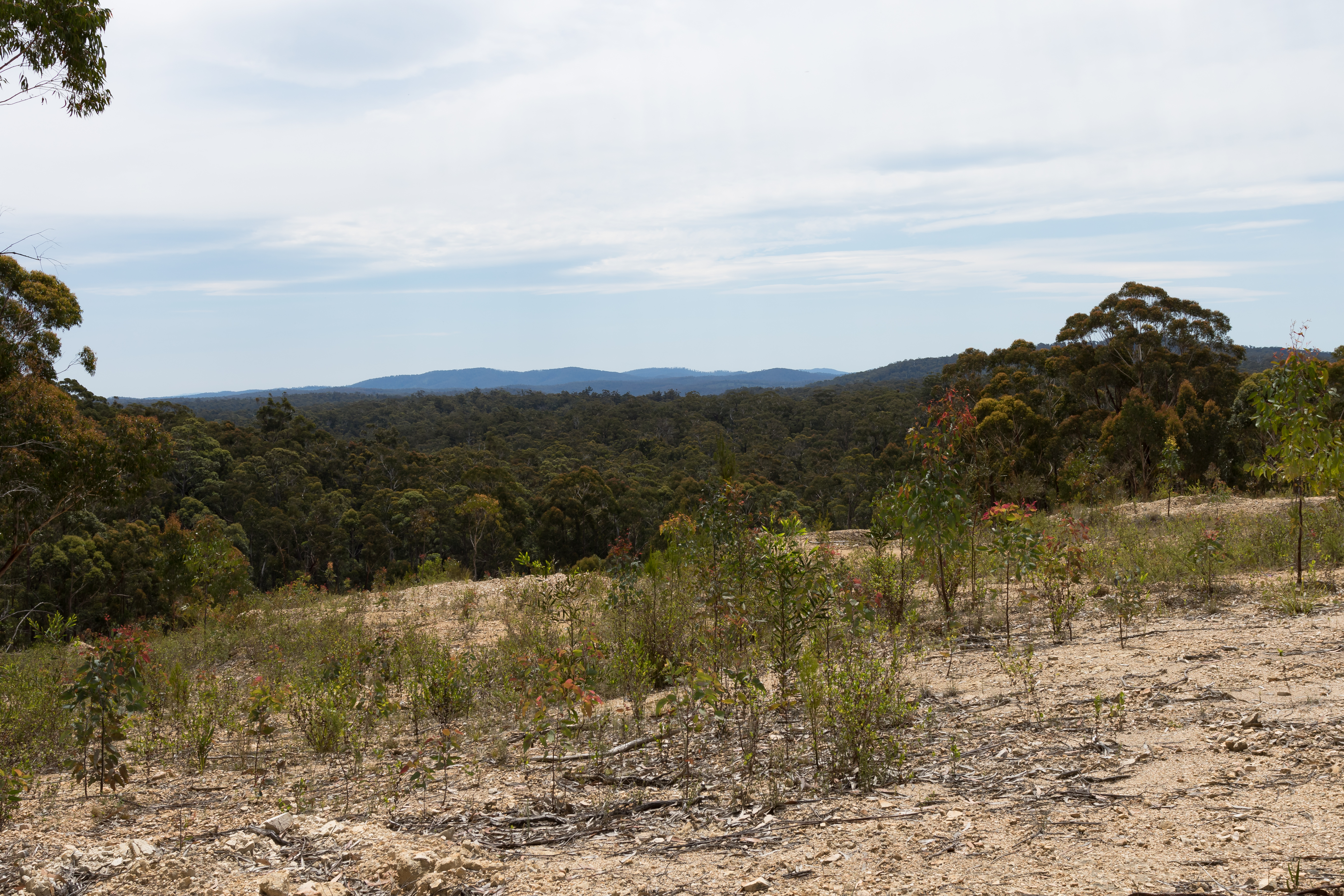
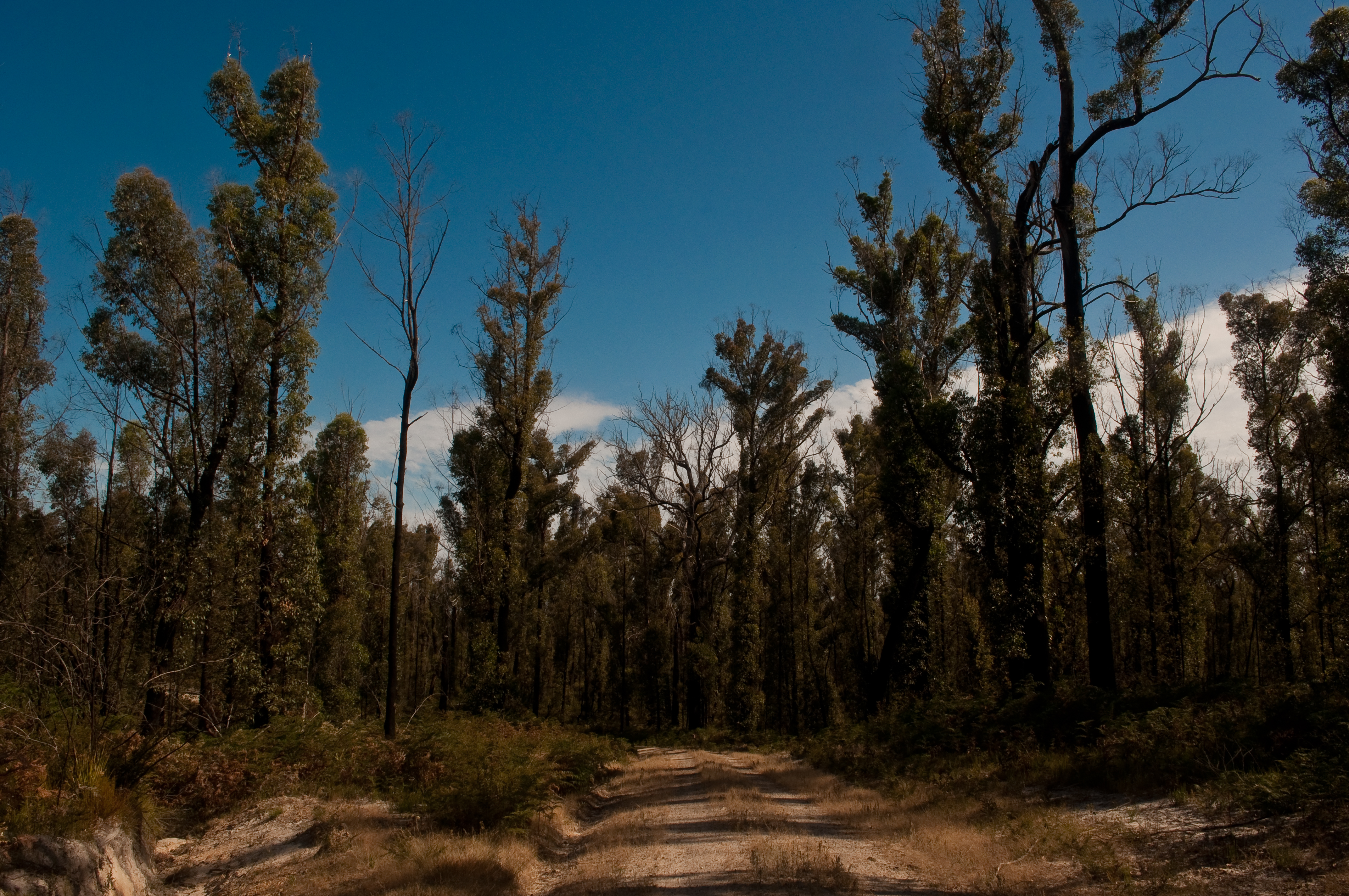
Brodribb River Former Alignment
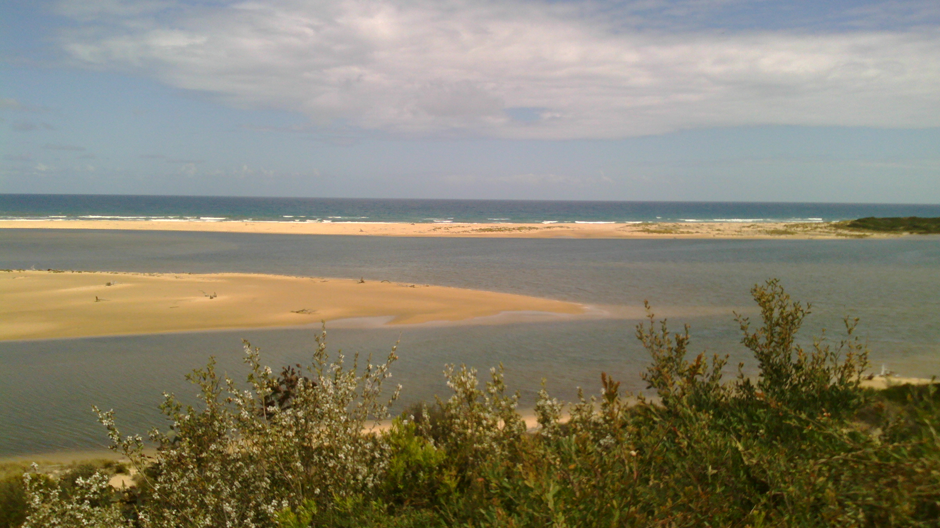
Snowy River mouth Estuary, Marlo, Victoria
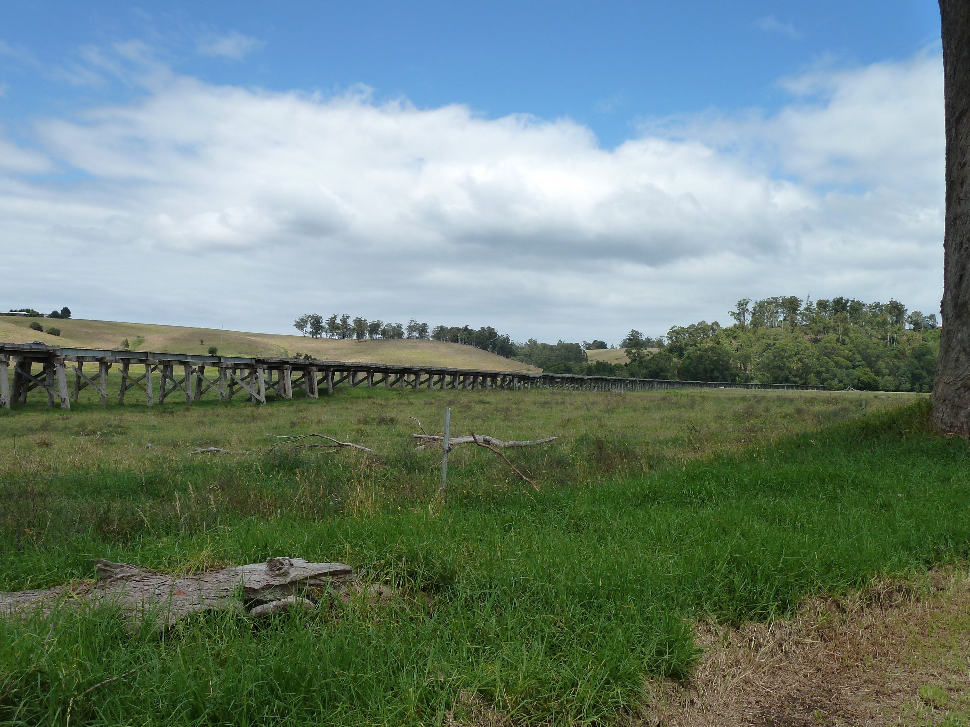
Trestle across flood plane near Orbost
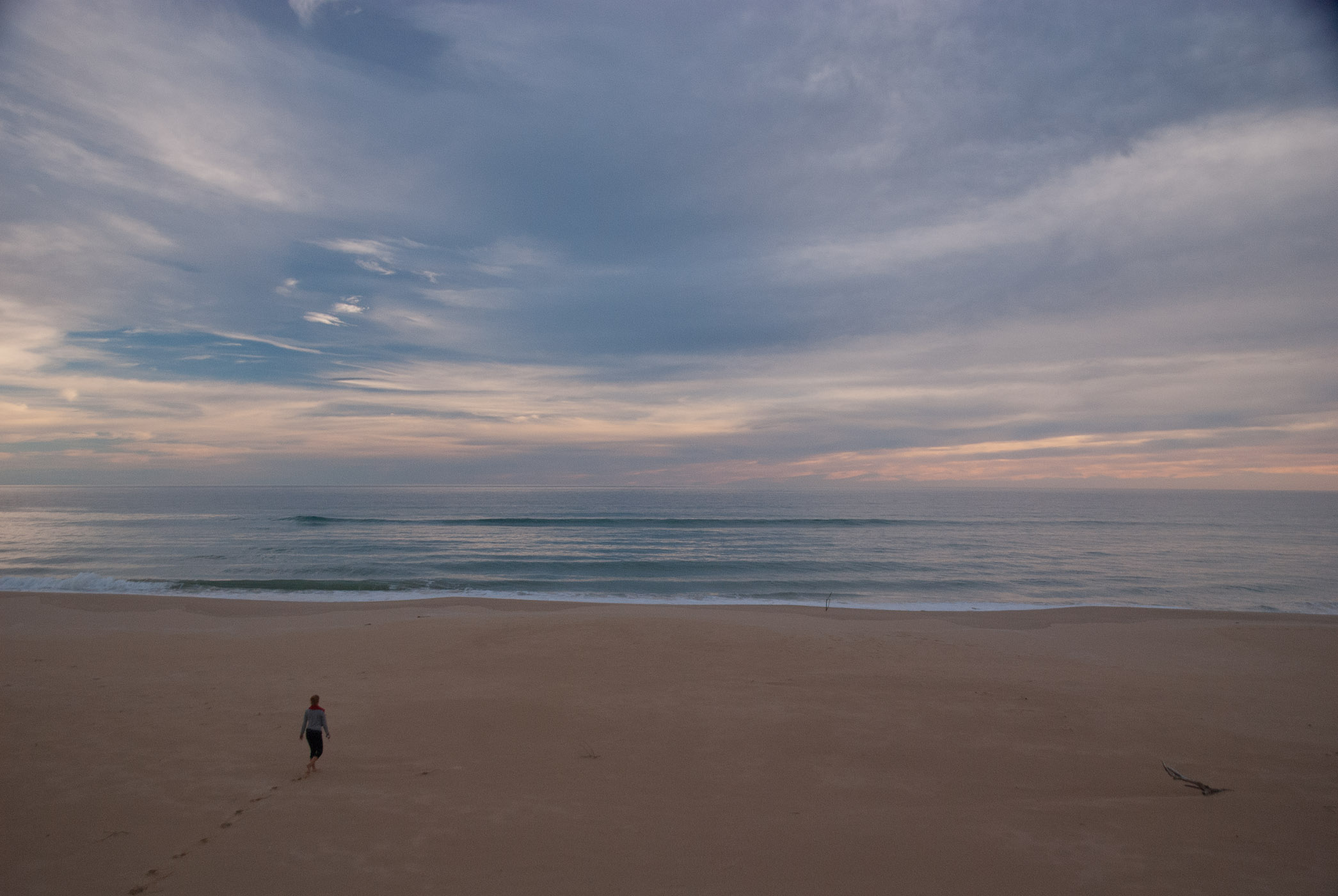
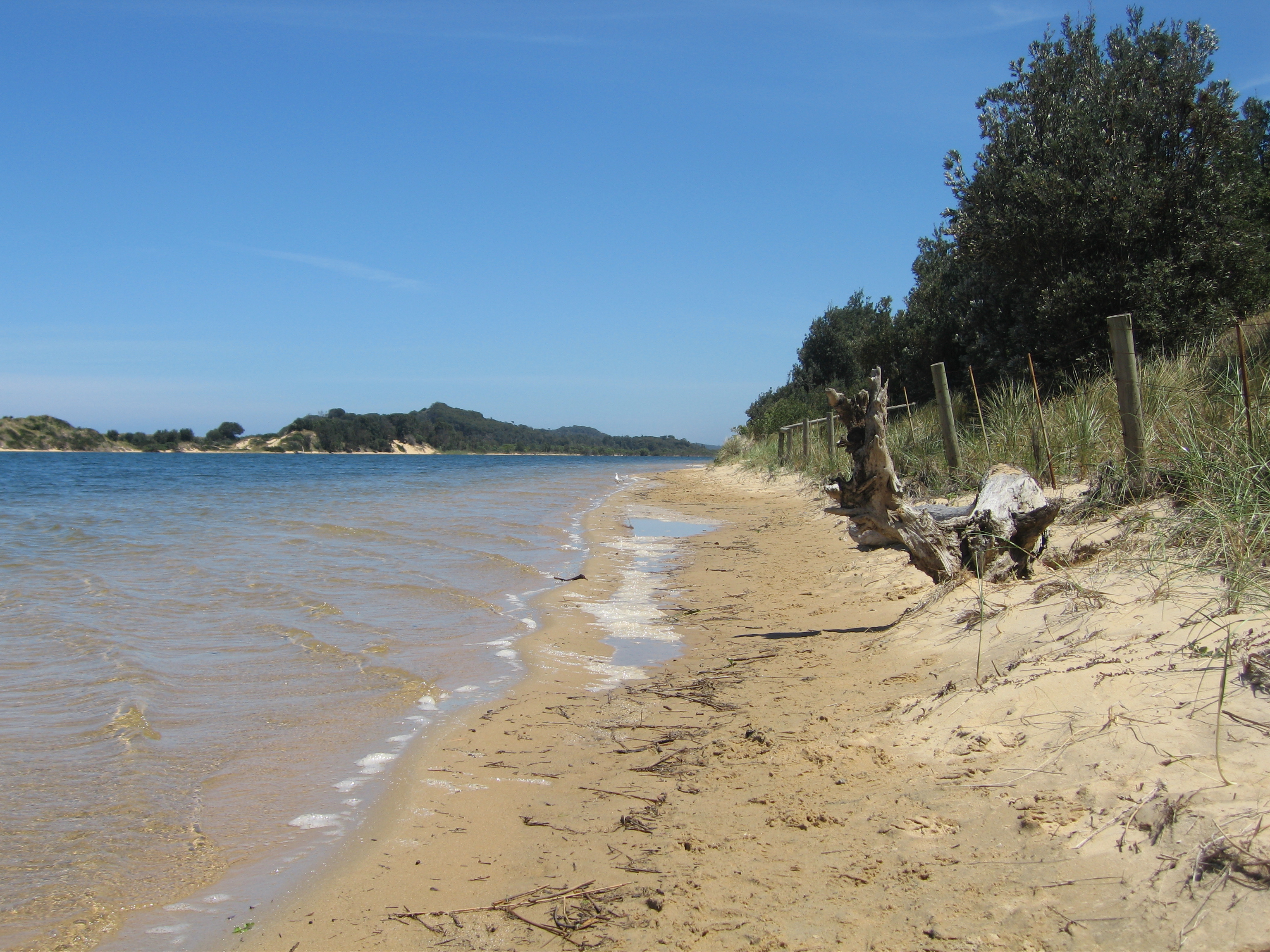
Lake Tyre Beach, Bass Strait

Sur la route

20111108_Melbourne-Sydney_012.jpg
Topographic Map of Orbost VIC, Australia
Find elevation by address:

Places near Orbost VIC, Australia:
35 Lochiel St
Marlo
23 Ricardo Dr
360 Marlo Plains Rd
East Gippsland Shire
Buchan
36 Main Rd
5631 Buchan-orbost Rd
Buchan Valley Log Cabins
1051 Gelantipy Rd
15 Gay St
9 Ewing Ct
Lakes Entrance Tourist Pk
92 Hunter Ln
Lakes Entrance
Lakes Entrance
36 Odonnell Dr
Surf Life Saving Lakes Entrance
67 Capes Rd
Timbarra
Recent Searches:
- Elevation of Corso Fratelli Cairoli, 35, Macerata MC, Italy
- Elevation of Tallevast Rd, Sarasota, FL, USA
- Elevation of 4th St E, Sonoma, CA, USA
- Elevation of Black Hollow Rd, Pennsdale, PA, USA
- Elevation of Oakland Ave, Williamsport, PA, USA
- Elevation of Pedrógão Grande, Portugal
- Elevation of Klee Dr, Martinsburg, WV, USA
- Elevation of Via Roma, Pieranica CR, Italy
- Elevation of Tavkvetili Mountain, Georgia
- Elevation of Hartfords Bluff Cir, Mt Pleasant, SC, USA