Elevation of Marlo Plains Rd, Marlo VIC, Australia
Location: Australia > Victoria > East Gippsland Shire > Marlo >
Longitude: 148.660730
Latitude: -37.782152
Elevation: 43m / 141feet
Barometric Pressure: 101KPa
Elevation Map:
Satellite Map:
Related Photos:

Orion, the Milky Way and Waxing Moon at Cape Conran

Waxing Moon in Evening Twilight Colours
West Cape, Victoria - Australia

Yeering River Mavic views, Cape Conran

Milky Way

Yeering River Mavic views, Cape Conran

Yeering River Mavic views, Cape Conran

Yeering River Mavic views, Cape Conran

Yeering River Mavic views, Cape Conran

Yeering River Mavic views, Cape Conran

Yeering River Mavic views, Cape Conran
Salmon Rocks

Waxing Moon and Pleiades in Twilight

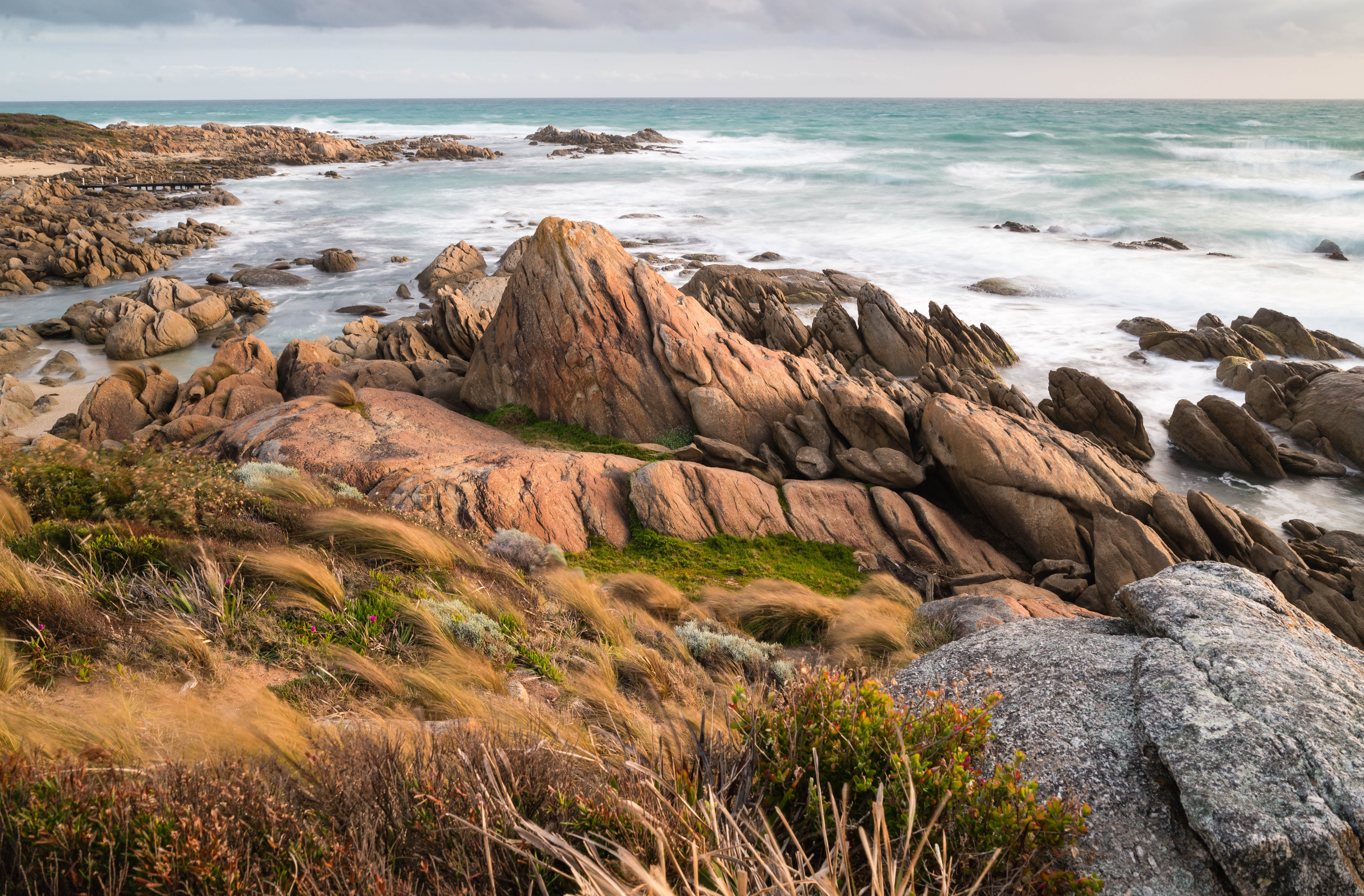
Rocks near Yeerung River

Night Falls

Yeerung Estuary

Beach, late afternoon

Location Recording

Lower Snowy River

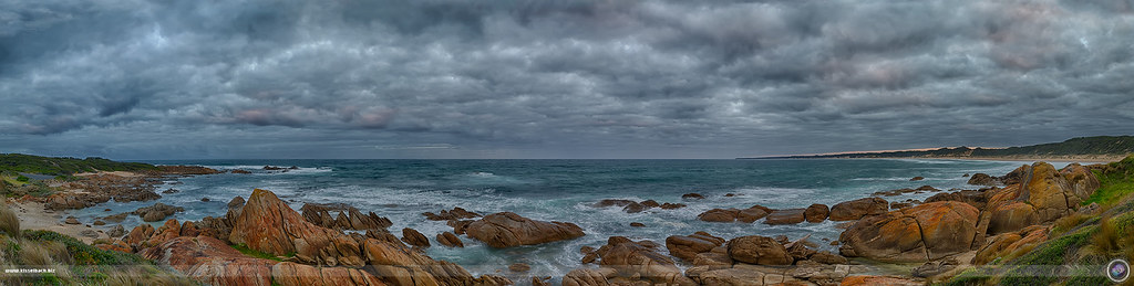
Jagged Little Coast

Point Ricardo

Line up against the sky

Point Ricardo, Marlo

Sailors grave beach

Cape Conran

Cape Conran

Mouth of the Snowy river at Marlo
Topographic Map of Marlo Plains Rd, Marlo VIC, Australia
Find elevation by address:

Places near Marlo Plains Rd, Marlo VIC, Australia:
23 Ricardo Dr
Marlo
Orbost
35 Lochiel St
East Gippsland Shire
Buchan
36 Main Rd
5631 Buchan-orbost Rd
Buchan Valley Log Cabins
1051 Gelantipy Rd
15 Gay St
9 Ewing Ct
Lakes Entrance Tourist Pk
Lakes Entrance
Lakes Entrance
36 Odonnell Dr
Surf Life Saving Lakes Entrance
92 Hunter Ln
67 Capes Rd
Timbarra
Recent Searches:
- Elevation of Corso Fratelli Cairoli, 35, Macerata MC, Italy
- Elevation of Tallevast Rd, Sarasota, FL, USA
- Elevation of 4th St E, Sonoma, CA, USA
- Elevation of Black Hollow Rd, Pennsdale, PA, USA
- Elevation of Oakland Ave, Williamsport, PA, USA
- Elevation of Pedrógão Grande, Portugal
- Elevation of Klee Dr, Martinsburg, WV, USA
- Elevation of Via Roma, Pieranica CR, Italy
- Elevation of Tavkvetili Mountain, Georgia
- Elevation of Hartfords Bluff Cir, Mt Pleasant, SC, USA