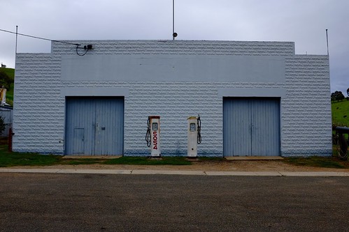
Elevation of Timbarra VIC, Australia
Location: Australia > Victoria > East Gippsland Shire >
Longitude: 147.933332
Latitude: -37.491202
Elevation: 877m / 2877feet
Barometric Pressure: 91KPa
Related Photos:
Topographic Map of Timbarra VIC, Australia
Find elevation by address:

Places near Timbarra VIC, Australia:
Buchan
92 Hunter Ln
36 Main Rd
5631 Buchan-orbost Rd
Buchan Valley Log Cabins
East Gippsland Shire
1051 Gelantipy Rd
664 Swan Reach Rd
Lakes Entrance
36 Odonnell Dr
67 Capes Rd
9 Ewing Ct
Lakes Entrance
Lakes Entrance Tourist Pk
15 Gay St
Surf Life Saving Lakes Entrance
Wulgulmerang East
7480 Mckillops Rd
35 Lochiel St
Orbost
Recent Searches:
- Elevation of Corso Fratelli Cairoli, 35, Macerata MC, Italy
- Elevation of Tallevast Rd, Sarasota, FL, USA
- Elevation of 4th St E, Sonoma, CA, USA
- Elevation of Black Hollow Rd, Pennsdale, PA, USA
- Elevation of Oakland Ave, Williamsport, PA, USA
- Elevation of Pedrógão Grande, Portugal
- Elevation of Klee Dr, Martinsburg, WV, USA
- Elevation of Via Roma, Pieranica CR, Italy
- Elevation of Tavkvetili Mountain, Georgia
- Elevation of Hartfords Bluff Cir, Mt Pleasant, SC, USA


