Elevation of Opiki Road, Opiki, New Zealand
Location: New Zealand > Manawatu-wanganui > Opiki >
Longitude: 175.4373331
Latitude: -40.4787327
Elevation: 5m / 16feet
Barometric Pressure: 0KPa
Related Photos:

Picnic Spot On The Foxton River Loop

Better Than Nothing...!

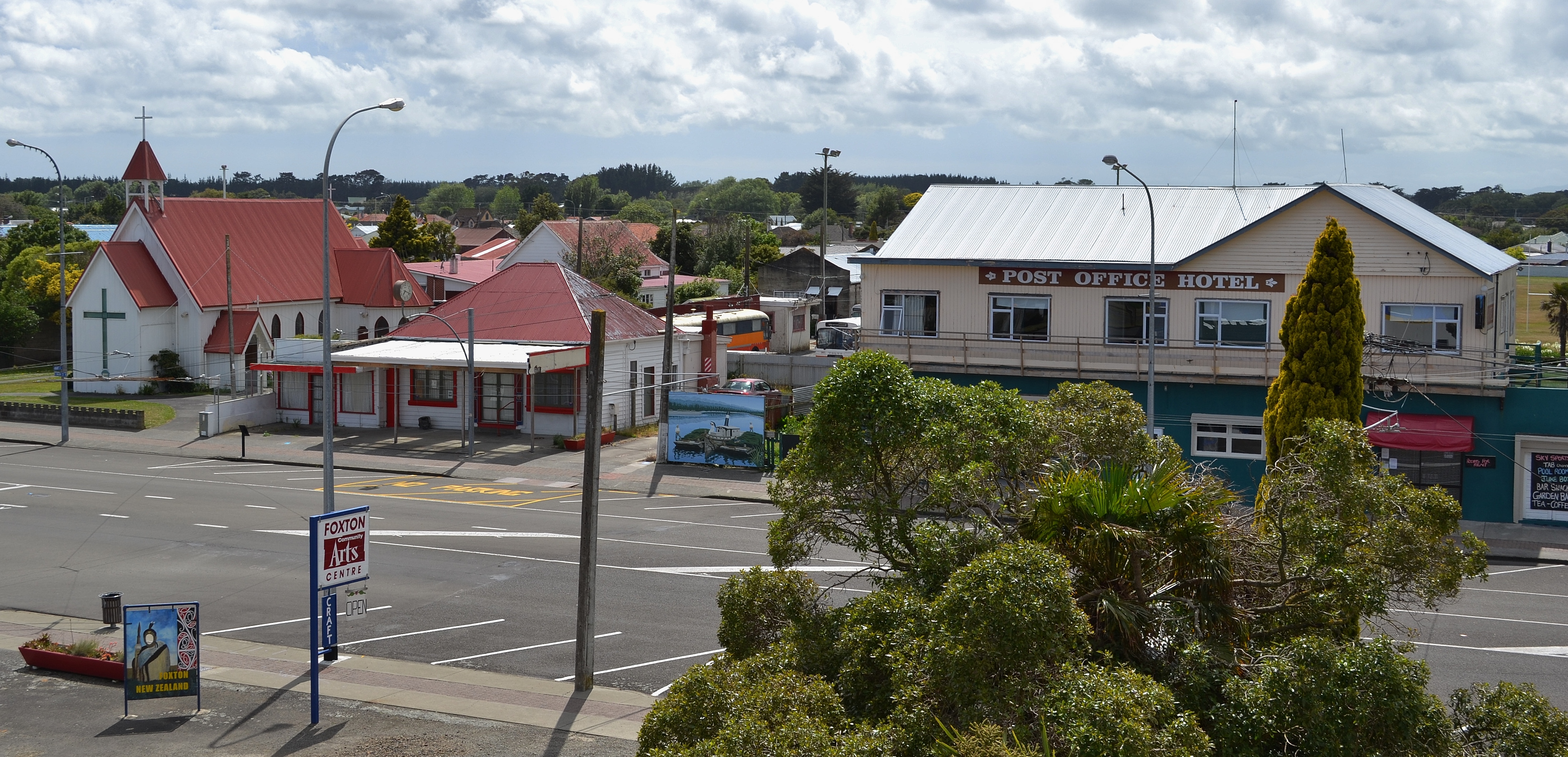
Foxton: All Saints Anglican Church (c.1876)

Shannon: Albion Hotel (3)

1022 Power supply

Happy Fence Friday

Retro viewing

Foxton's windmill

Nissan Gloria PA30

Nice View State Highway 57 close to Levin by Samsung Galaxy S4

Nice View State Highway 57 close to Levin by Canon 40D
De Molen Windmill in Foxton

Timelapse of South Celestial Pole

Nice View State Highway 57 close to Levin by Canon 40D

Snow near Opiki

Driving through the Wairarapa

Aliens are watchin us

Driving through Shannon.

The view down our Road

The road ahead
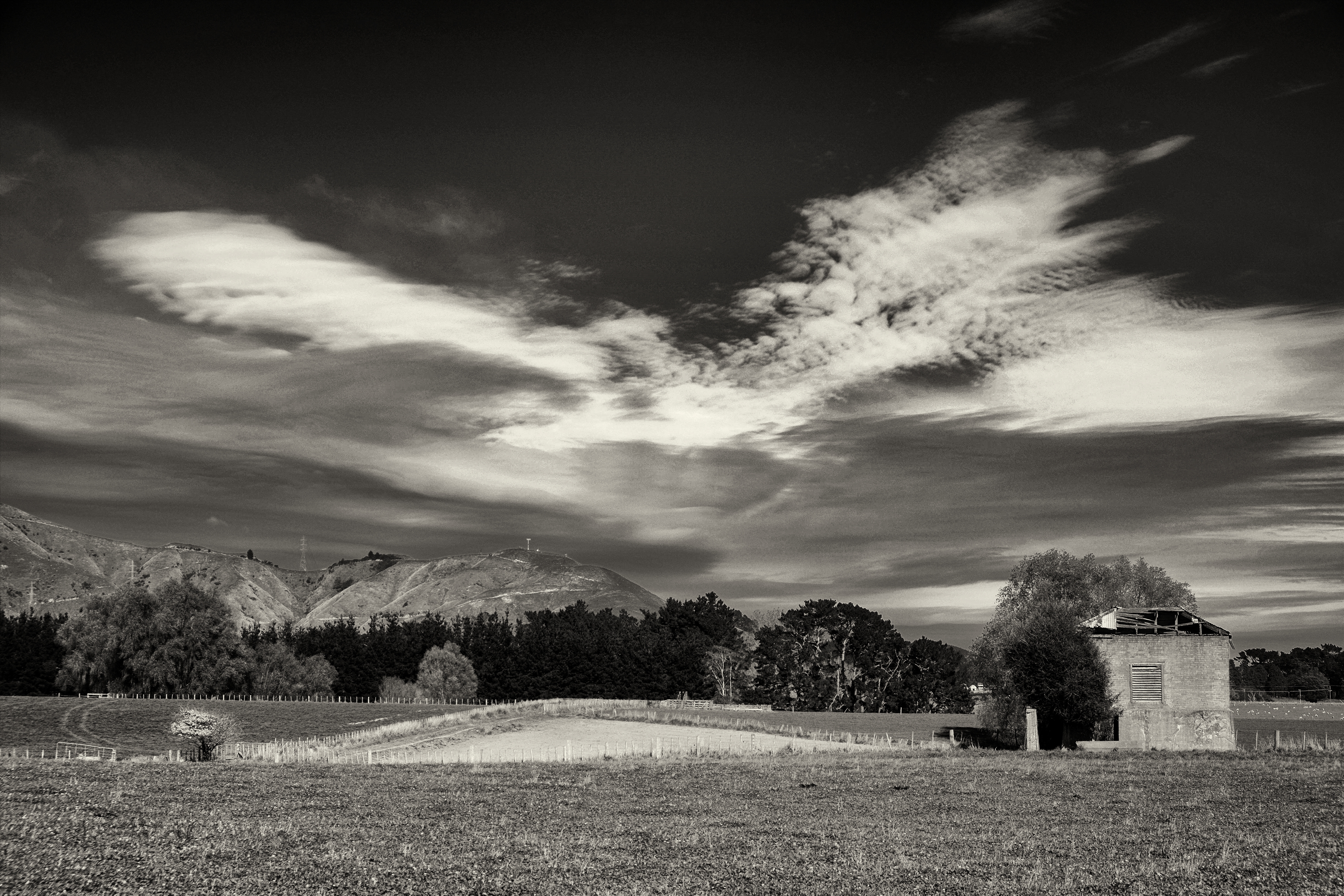
Abandoned Brick Dairy, Shannon, NZ

Foxton Beach: 215 Foxton Beach Rd.

Bridge to Nowhere

Sledge Track Swimming Hole

Tararua Ranges

Tararua Ranges from near the Opiki turn off on SH57

@webbywebbo @thelovelybarney

離開北帕默斯頓後,約要再開150公里才能到首都威靈頓,一路的風景又略有不同了。

Opiki Suspension Bridge, Manawatu, New Zealand

Ghost Bridge

Opiki Bridge

Opiki Bridge Mono

Kahuterawa Reserve

competitor waiting his turn at the Kapiti dog trial 2012

Lookout from a walk I took

Sheep baaing

Tararua Ranges from Tokomaru

Tokomaru River

116/365 Cows and cows and cows and cows and cows and cows and cows and
Capital Connection to Palmerston North - 8

Back Blocks
Topographic Map of Opiki Road, Opiki, New Zealand
Find elevation by address:

Places near Opiki Road, Opiki, New Zealand:
Opiki
341 Bainesse Road
105 Wallace Loop Rd
189 Wallace Road
Westbrook
18 Stillwater Pl
Poads Road
73a Queenwood Road
Highden Manor Estate
Horowhenua
Levin
19 Douglas St
Palmerston North
3 Parker Ave
12a Stuckey St
Awahuri
Terrace End
43 Windsor Street
38 Napier Rd
South Ohau Hut
Recent Searches:
- Elevation map of Greenland, Greenland
- Elevation of Sullivan Hill, New York, New York, 10002, USA
- Elevation of Morehead Road, Withrow Downs, Charlotte, Mecklenburg County, North Carolina, 28262, USA
- Elevation of 2800, Morehead Road, Withrow Downs, Charlotte, Mecklenburg County, North Carolina, 28262, USA
- Elevation of Yangbi Yi Autonomous County, Yunnan, China
- Elevation of Pingpo, Yangbi Yi Autonomous County, Yunnan, China
- Elevation of Mount Malong, Pingpo, Yangbi Yi Autonomous County, Yunnan, China
- Elevation map of Yongping County, Yunnan, China
- Elevation of North 8th Street, Palatka, Putnam County, Florida, 32177, USA
- Elevation of 107, Big Apple Road, East Palatka, Putnam County, Florida, 32131, USA
- Elevation of Jiezi, Chongzhou City, Sichuan, China
- Elevation of Chongzhou City, Sichuan, China
- Elevation of Huaiyuan, Chongzhou City, Sichuan, China
- Elevation of Qingxia, Chengdu, Sichuan, China
- Elevation of Corso Fratelli Cairoli, 35, Macerata MC, Italy
- Elevation of Tallevast Rd, Sarasota, FL, USA
- Elevation of 4th St E, Sonoma, CA, USA
- Elevation of Black Hollow Rd, Pennsdale, PA, USA
- Elevation of Oakland Ave, Williamsport, PA, USA
- Elevation of Pedrógão Grande, Portugal