Elevation of Levin, New Zealand
Location: New Zealand > Manawatu-wanganui >
Longitude: 175.286179
Latitude: -40.622245
Elevation: 33m / 108feet
Barometric Pressure: 101KPa
Elevation Map:
Satellite Map:
Related Photos:

Better Than Nothing...!
Gotch Ya...!!!

A Different Land...

The Song Of The Chaffinch

Slow Down And Enjoy...

Lake Papaitonga

Giving Rail Some Stiff Competition...

Wild Flowers

Happy Fence Friday

Nice View State Highway 57 close to Levin by Samsung Galaxy S4
Nice View State Highway 57 close to Levin by Canon 40D

Timelapse of South Celestial Pole

The Cloud-covered Tararua Mountains

Farewell, Levin

Spur-Winged Plover

Nissan Gloria PA30

Old house, Manakau, Manawatu, New Zealand
Shannon: Albion Hotel (3)

Cottage view

Nice View State Highway 57 close to Levin by Canon 40D

Harry in the Tasman

Forgotten Heroes

Christmas Day at the beach :)

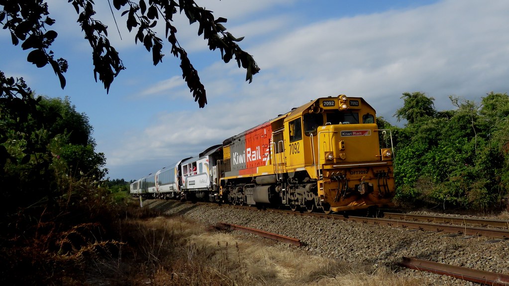
Northern Explorer

Northern Explorer

IMG_EOS 7D201402090918
Abandoned Brick Dairy, Shannon, NZ

tracks to the beach

Motorbiking at Dusk - Waitarere, New Zealand

time to go

Ash & Rob - Waitarere, New Zealand

Beach Drive

Creepy Woods

Gorgeous weather

rothko sunset

Walk it off

Waitarere Beach 19 - Photo and digital Oil process

Mandelbrot Set Tree Branches

Post dusk

Tararua Range.
Topographic Map of Levin, New Zealand
Find elevation by address:

Places in Levin, New Zealand:
Places near Levin, New Zealand:
Horowhenua
12a Stuckey St
3 Parker Ave
73a Queenwood Road
19 Douglas St
Ohau
451 Muhunoa East Road
189 Wallace Road
105 Wallace Loop Rd
Poads Road
South Ohau Hut
Te Matawai Hut
468 Opiki Road
Opiki
341 Bainesse Road
Roaring Stag Hut
Westbrook
Highden Manor Estate
18 Stillwater Pl
Awahuri
Recent Searches:
- Elevation of Corso Fratelli Cairoli, 35, Macerata MC, Italy
- Elevation of Tallevast Rd, Sarasota, FL, USA
- Elevation of 4th St E, Sonoma, CA, USA
- Elevation of Black Hollow Rd, Pennsdale, PA, USA
- Elevation of Oakland Ave, Williamsport, PA, USA
- Elevation of Pedrógão Grande, Portugal
- Elevation of Klee Dr, Martinsburg, WV, USA
- Elevation of Via Roma, Pieranica CR, Italy
- Elevation of Tavkvetili Mountain, Georgia
- Elevation of Hartfords Bluff Cir, Mt Pleasant, SC, USA