Elevation of 73A Queenwood Road, Levin, New Zealand
Location: New Zealand > Manawatu-wanganui > Levin >
Longitude: 175.2970484
Latitude: -40.6184073
Elevation: 37m / 121feet
Barometric Pressure: 0KPa
Related Photos:

Lake Papaitonga

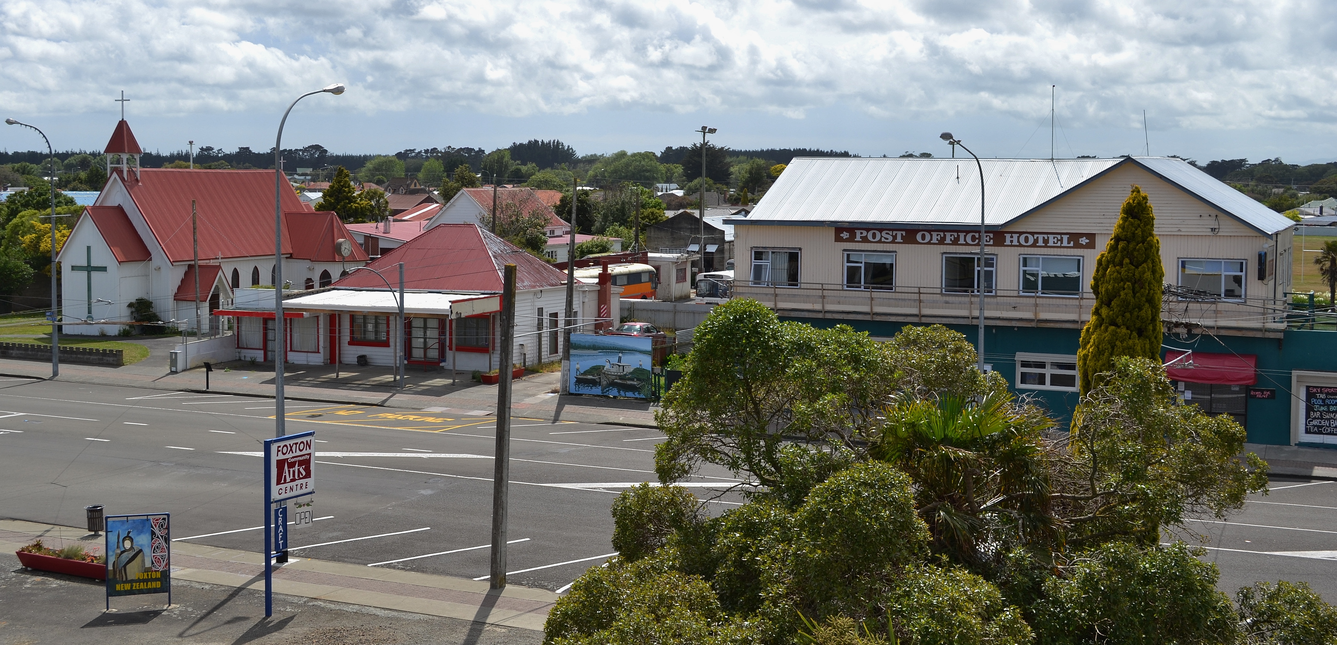
Foxton's windmill

Old house, Manakau, Manawatu, New Zealand

Timelapse of South Celestial Pole

Better Than Nothing...!

The Cloud-covered Tararua Mountains

Gotch Ya...!!!

A Different Land...

The Song Of The Chaffinch

Slow Down And Enjoy...

Giving Rail Some Stiff Competition...

Farewell, Levin

Wild Flowers

Happy Fence Friday

Spur-Winged Plover

Nissan Gloria PA30

Nice View State Highway 57 close to Levin by Samsung Galaxy S4

Shannon: Albion Hotel (3)

Nice View State Highway 57 close to Levin by Canon 40D
De Molen Windmill in Foxton

Cottage view
Abandoned Brick Dairy, Shannon, NZ

Motorbiking at Dusk - Waitarere, New Zealand

Creepy Woods

Gorgeous weather

Northern Explorer

Mandelbrot Set Tree Branches

Wonky Trig Point at Twin Peak

The Route Ahead

Is it just me or am I starting to see things in this forest..

IMG_EOS 7D201402090918

Waiopehu Track

Forgotten Heroes

tracks to the beach

time to go

Christmas Day at the beach :)

Ash & Rob - Waitarere, New Zealand

Beach Drive
Running 4

rothko sunset
Topographic Map of 73A Queenwood Road, Levin, New Zealand
Find elevation by address:

Places near 73A Queenwood Road, Levin, New Zealand:
Horowhenua
Levin
3 Parker Ave
12a Stuckey St
19 Douglas St
189 Wallace Road
451 Muhunoa East Road
105 Wallace Loop Rd
Ohau
Poads Road
South Ohau Hut
Te Matawai Hut
468 Opiki Road
Opiki
341 Bainesse Road
Roaring Stag Hut
Westbrook
Highden Manor Estate
18 Stillwater Pl
Awahuri
Recent Searches:
- Elevation map of Greenland, Greenland
- Elevation of Sullivan Hill, New York, New York, 10002, USA
- Elevation of Morehead Road, Withrow Downs, Charlotte, Mecklenburg County, North Carolina, 28262, USA
- Elevation of 2800, Morehead Road, Withrow Downs, Charlotte, Mecklenburg County, North Carolina, 28262, USA
- Elevation of Yangbi Yi Autonomous County, Yunnan, China
- Elevation of Pingpo, Yangbi Yi Autonomous County, Yunnan, China
- Elevation of Mount Malong, Pingpo, Yangbi Yi Autonomous County, Yunnan, China
- Elevation map of Yongping County, Yunnan, China
- Elevation of North 8th Street, Palatka, Putnam County, Florida, 32177, USA
- Elevation of 107, Big Apple Road, East Palatka, Putnam County, Florida, 32131, USA
- Elevation of Jiezi, Chongzhou City, Sichuan, China
- Elevation of Chongzhou City, Sichuan, China
- Elevation of Huaiyuan, Chongzhou City, Sichuan, China
- Elevation of Qingxia, Chengdu, Sichuan, China
- Elevation of Corso Fratelli Cairoli, 35, Macerata MC, Italy
- Elevation of Tallevast Rd, Sarasota, FL, USA
- Elevation of 4th St E, Sonoma, CA, USA
- Elevation of Black Hollow Rd, Pennsdale, PA, USA
- Elevation of Oakland Ave, Williamsport, PA, USA
- Elevation of Pedrógão Grande, Portugal