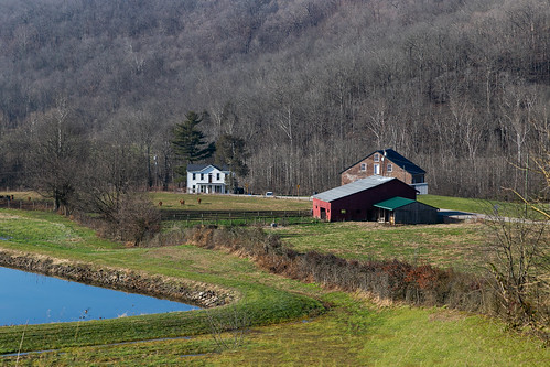
Elevation of Old US Hwy 68, Ripley, OH, USA

Location: United States > Ohio > Brown County > Union Township > Ripley >

Longitude: -83.852884

Latitude: 38.7701179

Elevation: 264m / 866feet

Barometric Pressure: 98KPa

Elevation Map:

elevation map of Old US Hwy 68, Ripley, OH, USA
Satellite Map:

Satellite map of Old US Hwy 68, Ripley, OH, USA

Related Photos:

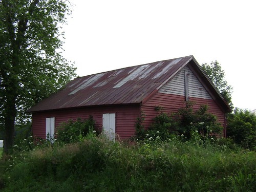
county school ohio brown house abandoned rural one wooden eagle decay room chapel forgotten schoolhouse neel
Neel, Ohio- Eagle Chapel Schoolhouse
county school ohio brown house abandoned rural one wooden decay room forgotten schoolhouse russellville baird
Russellville, Ohio- Baird Schoolhouse
geotagged historic lanscape geotaggedohio geo:lat=387510483333325 geo:lon=838425061111118
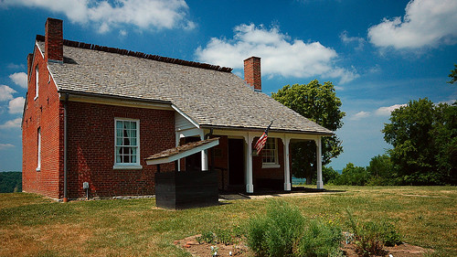
John Rankin National Historic Site - Ripley, Ohio
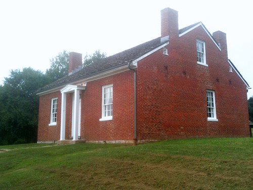
johnrankin house dwelling residence farmhouse 15story early historic brick threebay fourroom doublepile 1828 ripley ohio uniontownship browncounty abolitionism undergroundrailroad chimneys woodshingle roof federal 96windows jackarched shutters cornice rakeboards flush trees view scenic pleasant 70000485 nationalregister nrhp
John Rankin House — Union Township, Brown County, Ohio
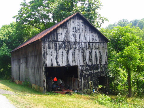
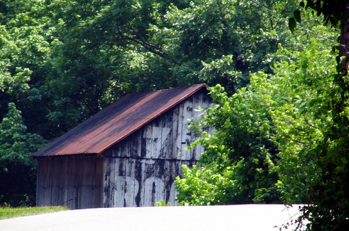
ohio barn ripley oh peelingpaint browncounty rockcity seerockcity us62 see7states oldus62 bmok
Some Rock City barns do not change for many decades
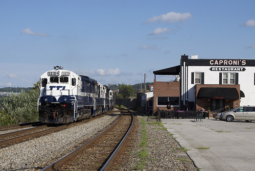
TTI 5819capronis
a77mk2 minolta600mmf4apog raphaelkopanphotography higginsport ohio 14apoconvertor sony
Higginsport Eagles in morning light
River View
panorama ohioriver waterfront valley mountains forest trees clouds water scenic pleasant ripley ohio unitedstates us view hilltop overlook browncounty buildings structures grass slope uniontownship
Ohio River Valley — Union Township, Brown County, Ohio
ohio barn ripley oh browncounty rockcity seerockcity oldus62 bmok
Street level view of a Rock City Barn
capronis maysvillekentucky
A Taste Of Maysville
a77mk2 minolta600mmf4apog raphaelkopanphotography higginsport ohio 14apoconvertor sony
Higginsport Eagles in morning light
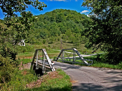
ohio bridges dok1 historicbridges browncountyohio geotaggedohio
Fishing Gut Creek Valley
ohio blackhistory americanliterarysights
The Rankin House: Ripley Ohio
ohio bridges creeks dok1 browncountyohio
View From a New Bridge
Sutton's Landing, 1850s
boat river water kentucky ohioriver ferry
The View From the Ferry
ohio flight baldeagle browncounty haliaeetusleucocephalus 500mmf4 canoneos1dmarkiii higgisnport
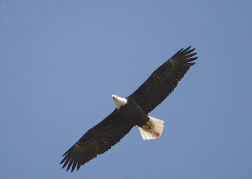
BALD EAGLE
Backwards We Go
ohio flight baldeagle haliaeetusleucocephalus 500mmf4 canoneos1dmarkiii higgisnport
BALD EAGLE FLEW OVER VIEWING AREA
ohio eagle baldeagle browncounty haliaeetusleucocephalus immaturebaldeagle higginsport
IMMATURE BALD EAGLE AT HIGGINSPORT, OHIO
undergroundrailroad ohioriver kentucky maysvillekentucky
Twilight on the Ohio
geotagged ohioriver ripleyohio geo:lat=387511016666667 geo:lon=838425106666667
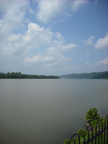
Ohio River from John Rankin Natl. Historic Site - Ripley, Ohio
ohio kentucky rivers ohioriver ripleyohio browncountyohio masoncountyky
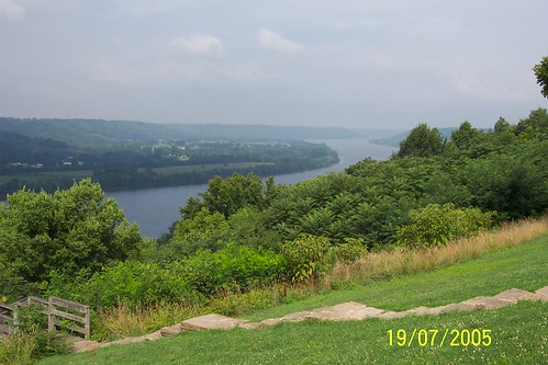
Ohio River, Ripley (Ohio), 19 July 2005
ohio kentucky rivers ohioriver ripleyohio browncountyohio masoncountyky
Ohio River, Ripley (Ohio), 19 July 2005
field farm farming roundbales
Country Field.
winter water creek waterfalls hdr browncountyoh bullskincreek
Bullskin Creek, Black and White HDR
ripley browncounty ohio village tree
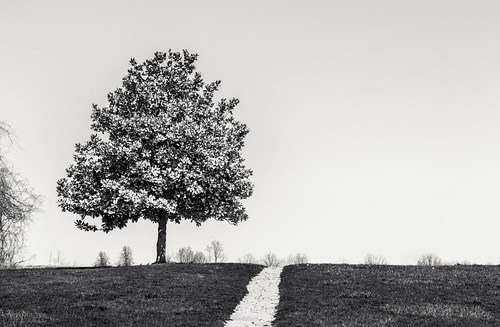
Ripley Minimalism
blackandwhite water creek rocks stream waterfalls
Falls.
bridge ohio simon landscape memorial kentucky may aberdeen ohioriver kenton 2015 maysville capronis
Simon Kenton Memorial Bridge, Maysville Kentucky
river ohioriver kentucky augusta ferry augustaferry transportation oleaugusta
88c169: Augusta Ferry crossing Ohio River from Kentucky to Ohio
ohio print aberdeen browncounty ohioriver 1820s ohioartthrough1865 citylevelgeotagging
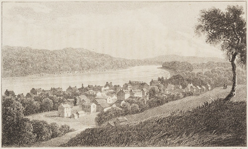
Maysville, on the Ohio, Kentucky
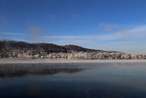
ohioriver landscape scenic valley pleasant frost river trees forest winter january gradient mist browncounty ohio ripley aberdeen hills topography
Ohio River Scene — Brown County, Ohio
house dwelling residence farm mill georgetown ohio unitedstates us tunnelmill buildings structures reservoir water pond trees forest slope hillside valley grass landscape pleasanttownship browncounty
Farm and Mill — Pleasant Township, Brown County, Ohio
county family ohio brown house reunion river nikon ripley nikkor swisher rankin 1755mm d7000
Swisher Family Reunion 2014
ohioriver landscape scenic valley pleasant frost river trees forest winter january gradient mist browncounty ohio ripley aberdeen hills topography
Ohio River Scene — Brown County, Ohio
MPB 35-08-06, Brown County, Ohio
Mason County Courthouse
ohio water clouds fence ripley ohioriver
Ohio River in Ripley, Ohio
ohio ripley clean browncounty assistance fund brownfield
Ripley- Ripley Foundation (COAF)
ohioriver landscape scenic valley pleasant frost river trees forest winter january gradient mist browncounty ohio ripley aberdeen hills topography
Ohio River Scene — Brown County, Ohio
square sierra squareformat iphoneography instagramapp uploaded:by=instagram foursquare:venue=4e3438b4ae60795fcfdeb831
Una mas de la orilla del río con Kentucky en el fondo que tome hace unos días. One more pic of the riverside overlooking Kentucky in the background. #OhioRiver #Ohio #ripleyOhio #ripley #snow #river #Kentucky #winter #hills #ducks #patos #invierno #ri