Elevation of OH-, Aberdeen, OH, USA
Location: United States > Ohio > Brown County > Huntington Township > Aberdeen >
Longitude: -83.723794
Latitude: 38.72231
Elevation: 251m / 823feet
Barometric Pressure: 98KPa
Elevation Map:
Satellite Map:
Related Photos:
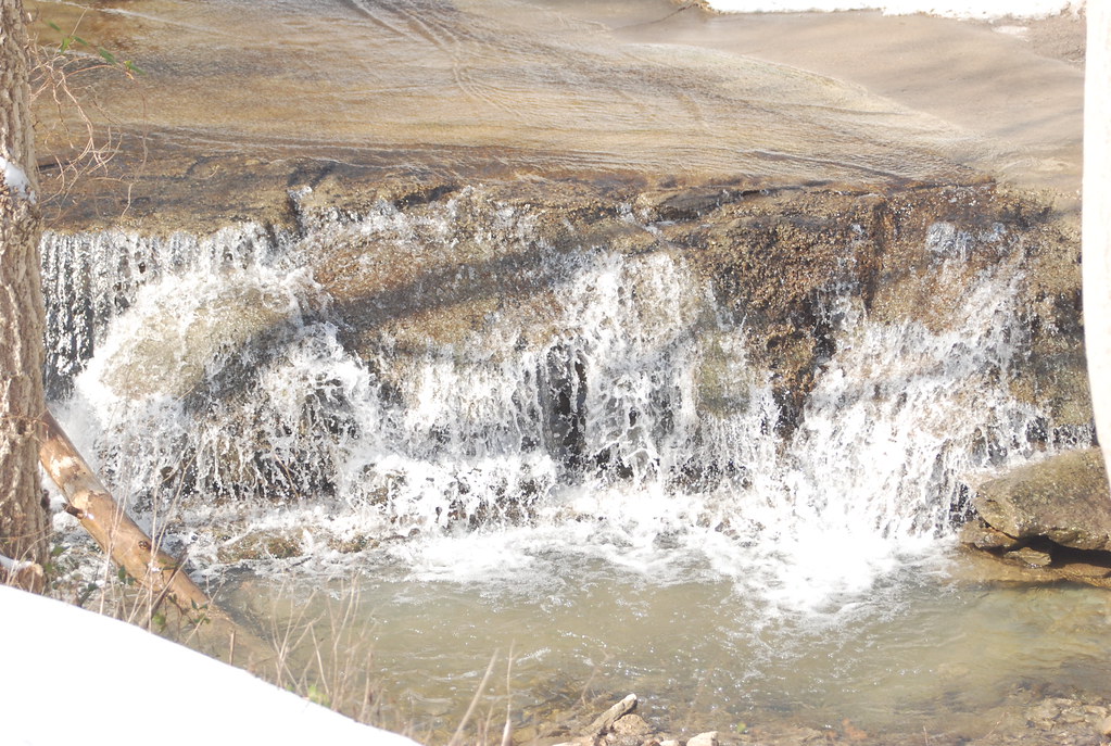
First view
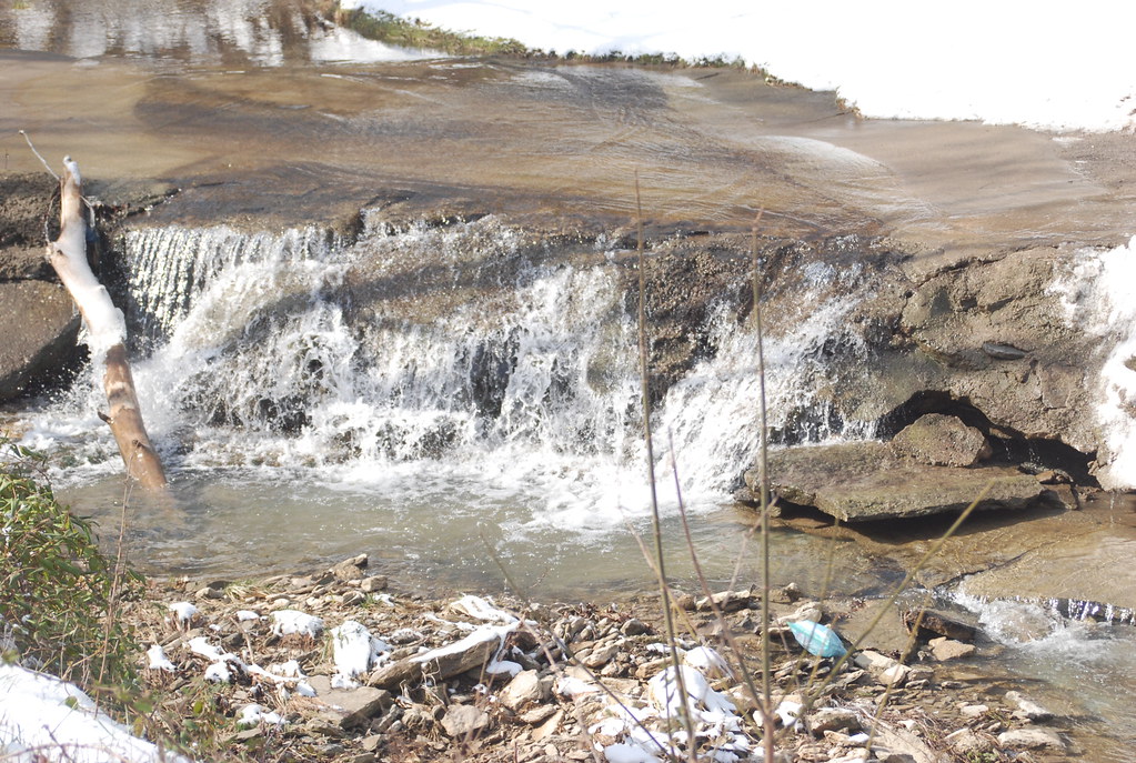
Morning Glory
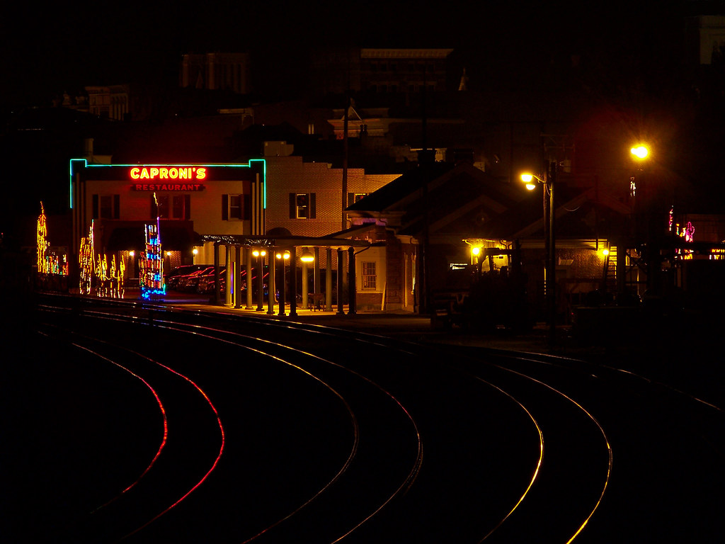
TTI 5819capronis
Backwards We Go
A Taste Of Maysville

Street level view of a Rock City Barn
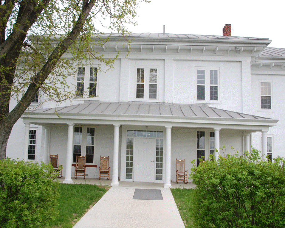
John Rankin National Historic Site - Ripley, Ohio
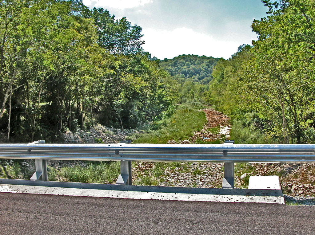
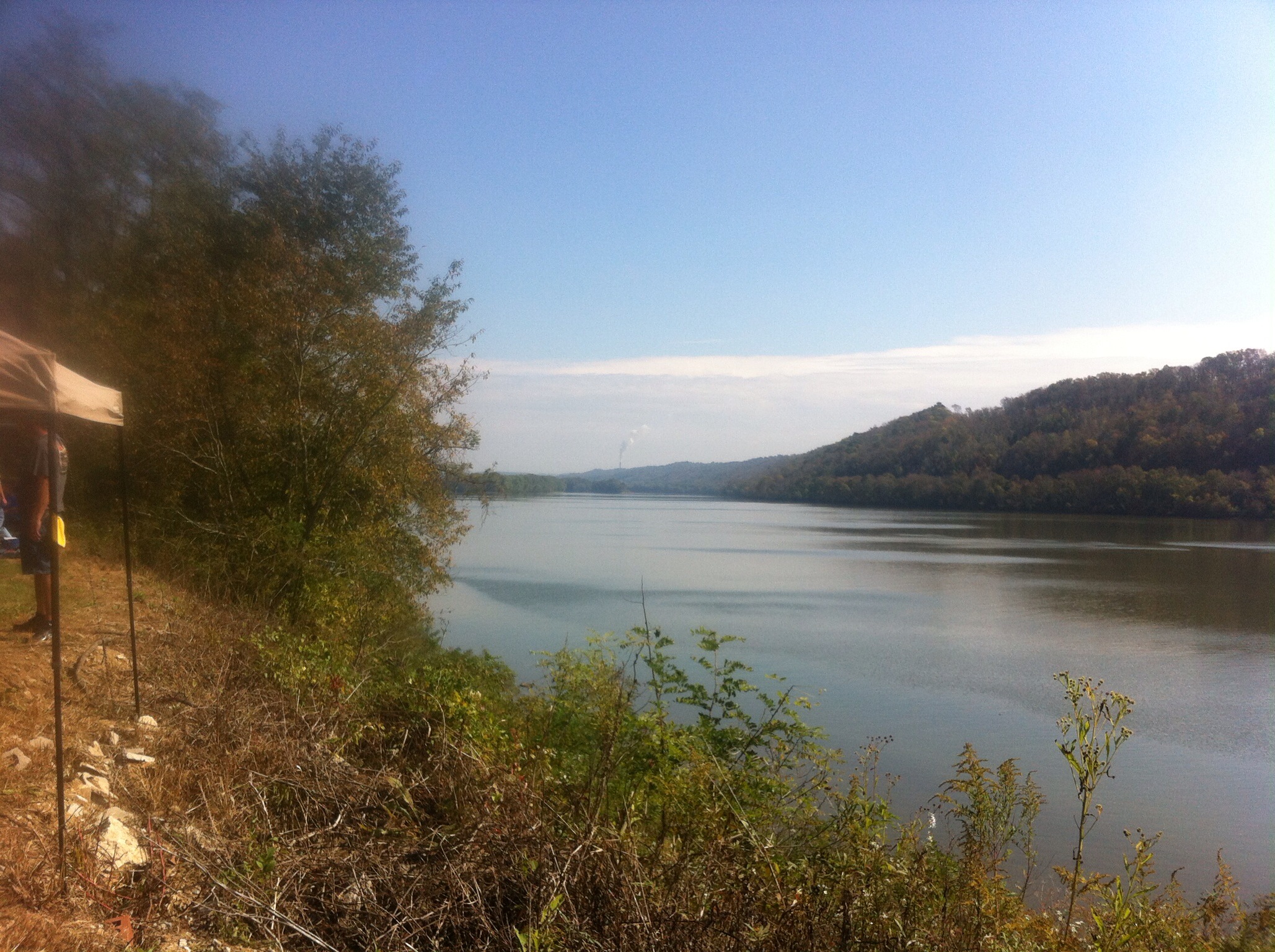
Fishing Gut Creek Valley

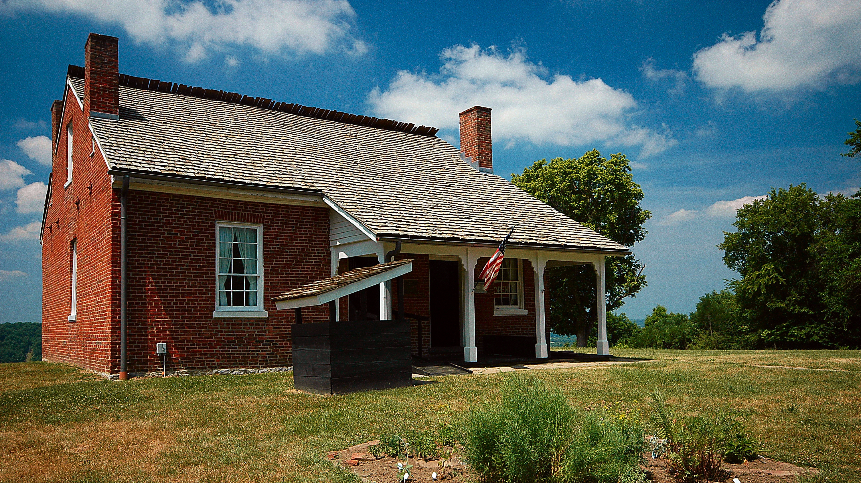
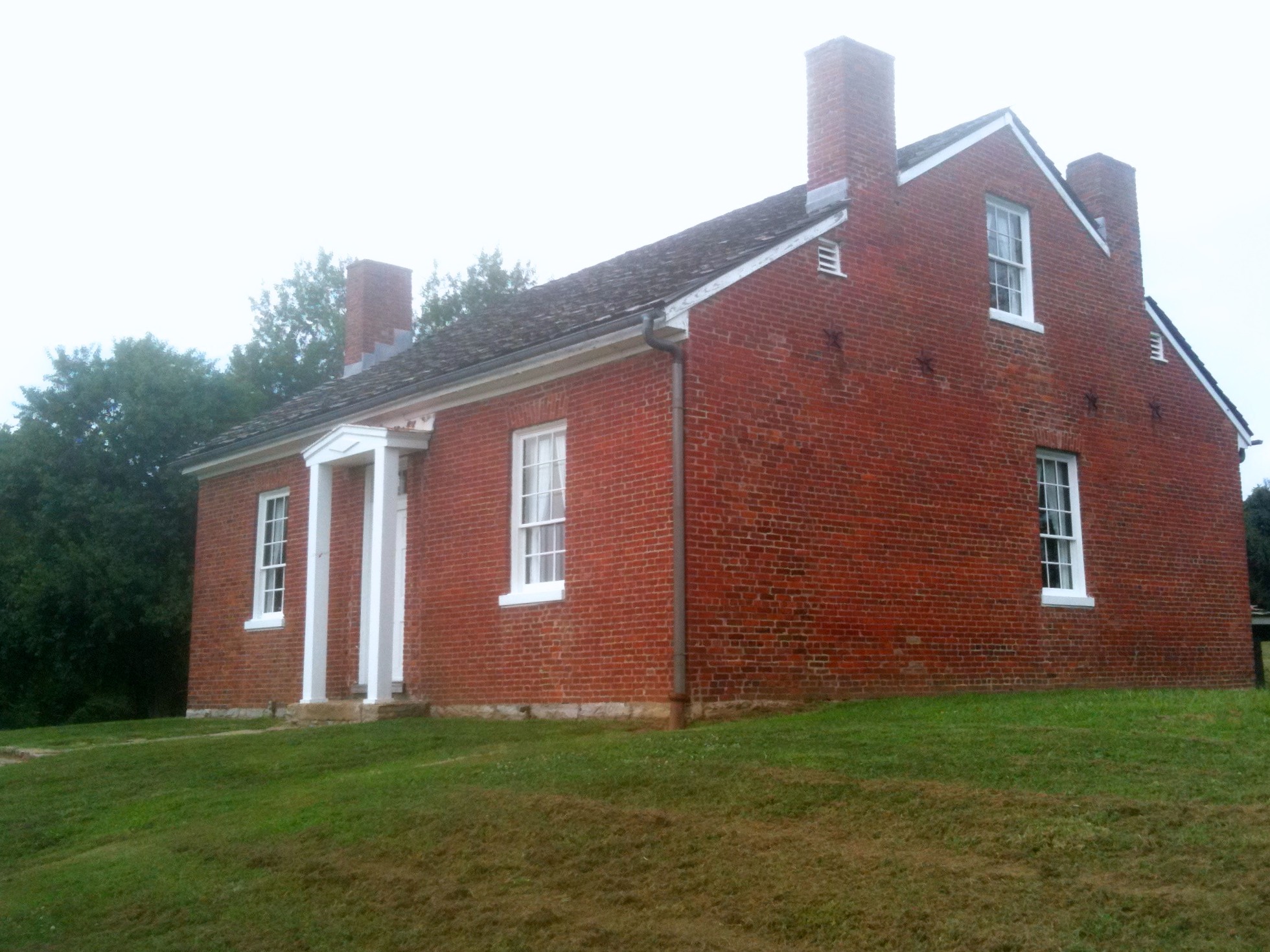
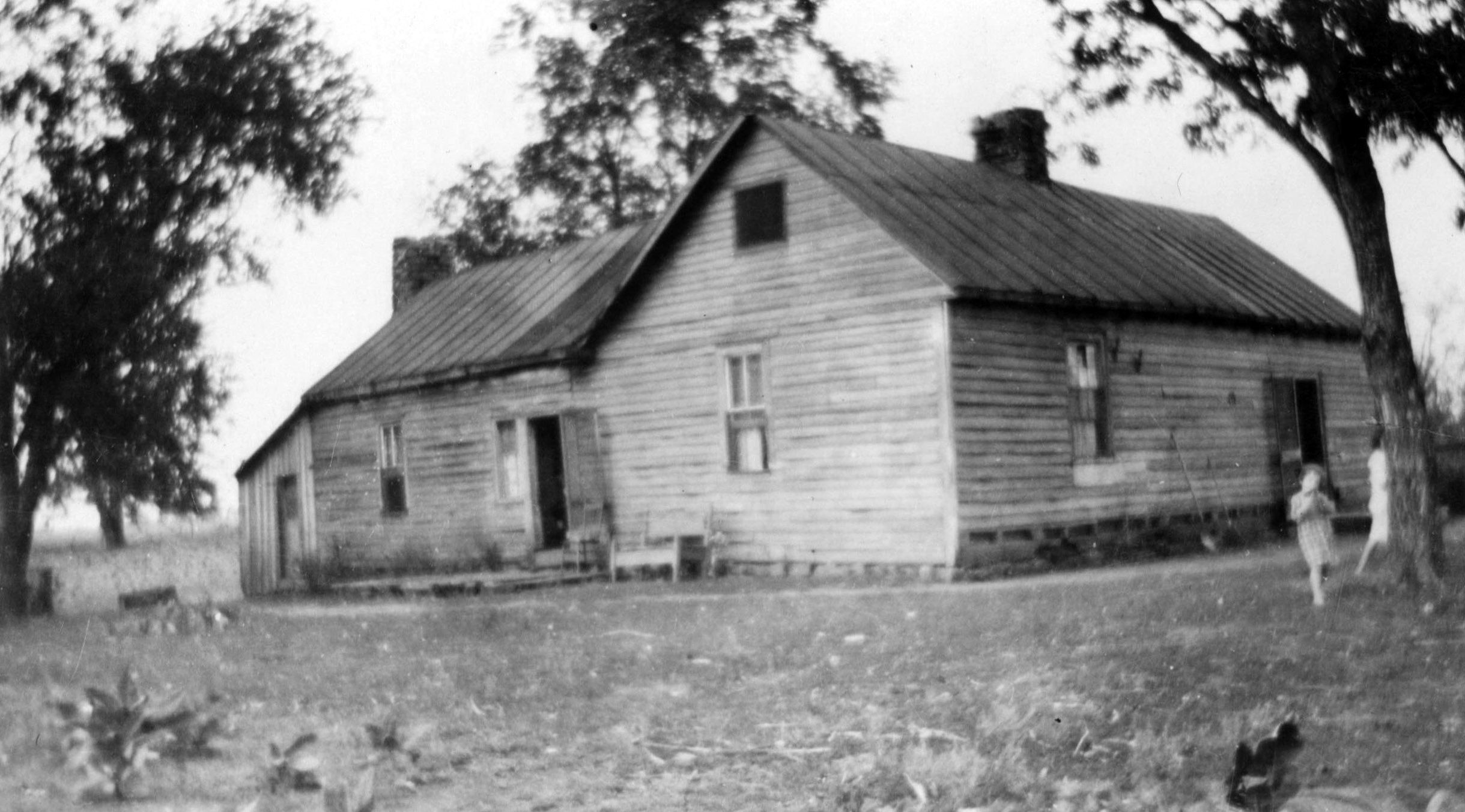
Neel, Ohio- Eagle Chapel Schoolhouse
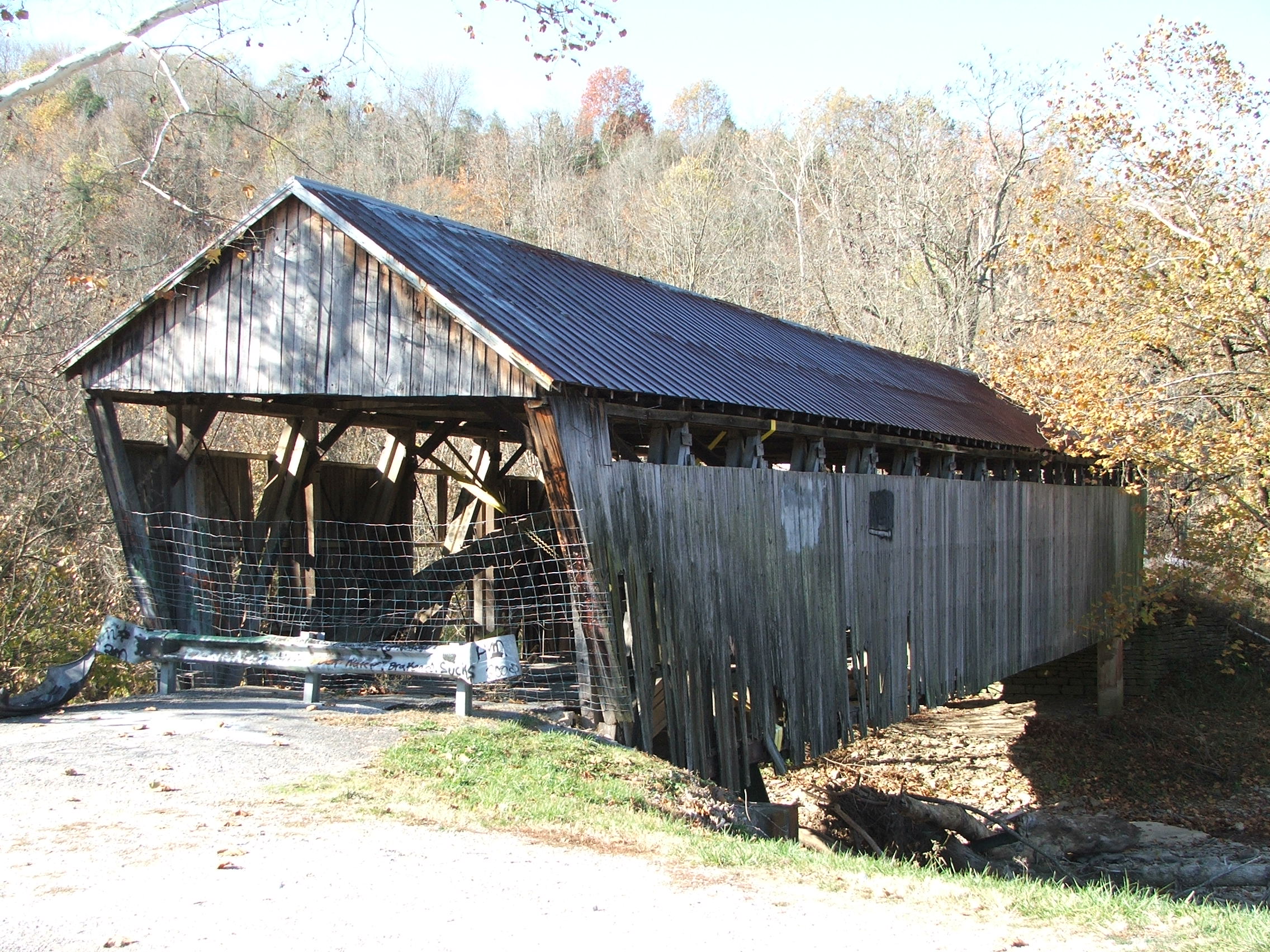
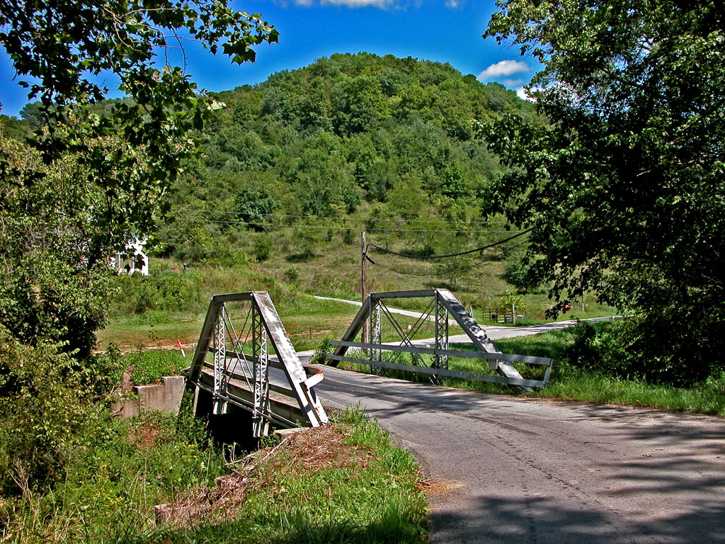
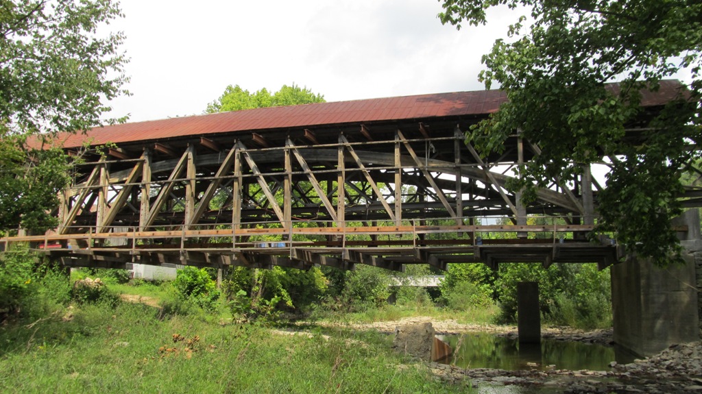
Eagle Creek Bridge, Brown County, Ohio 35-08-18
View From a New Bridge

Maysville Limestone Kentucky
The Rankin House: Ripley Ohio

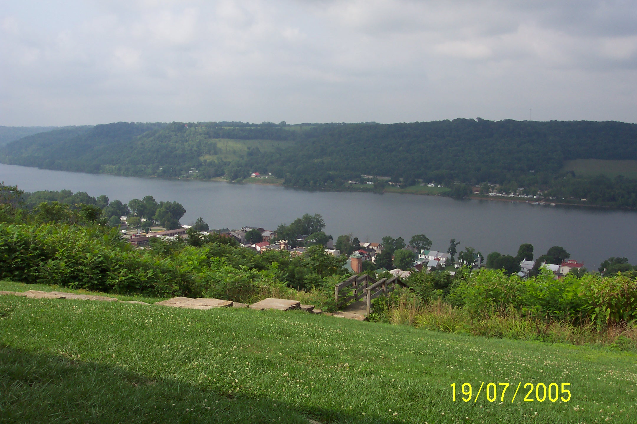
Ohio River, Ripley (Ohio), 19 July 2005

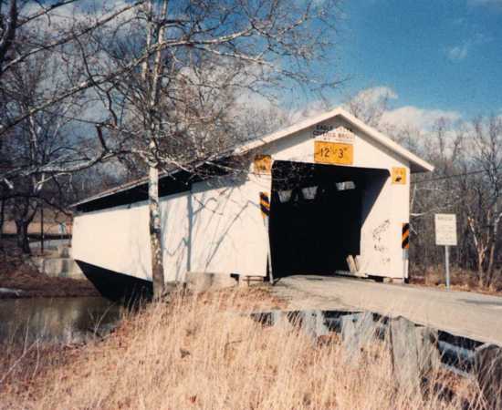
Kirker covered bridge, Adams Co, OH side view

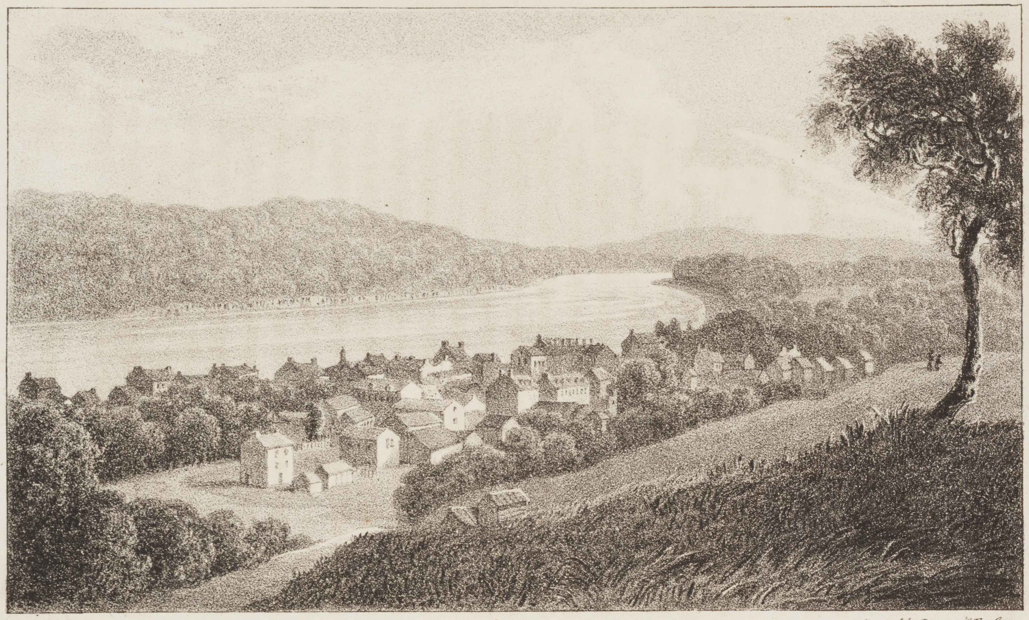
Ohio River- View of Maysville, KY
Ohio River, Ripley (Ohio), 19 July 2005
Upstream view of bridge
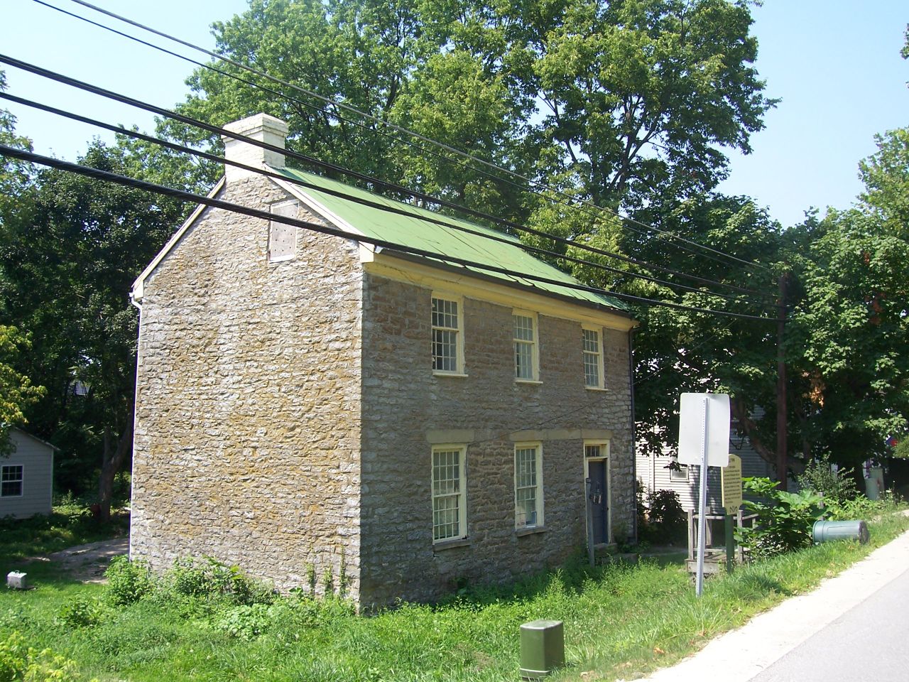
Nathaniel Massie House ("Buckeye Station") — Monroe Township, Adams County, Ohio
Day 4k Old Washington Stone House 2
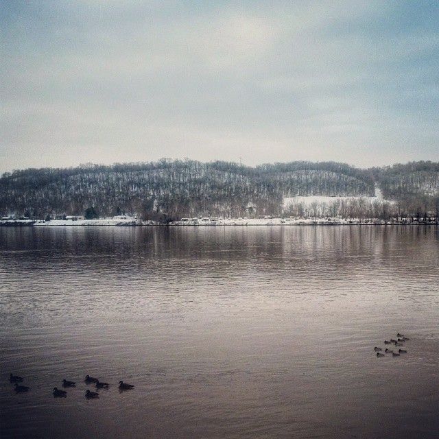
Una mas de la orilla del río con Kentucky en el fondo que tome hace unos días. One more pic of the riverside overlooking Kentucky in the background. #OhioRiver #Ohio #ripleyOhio #ripley #snow #river #Kentucky #winter #hills #ducks #patos #invierno #ri

P5192585.jpg
water3.14.08 (38)

00123 (76)
Hill City Road

A Sailor's Delight
Hill City Road
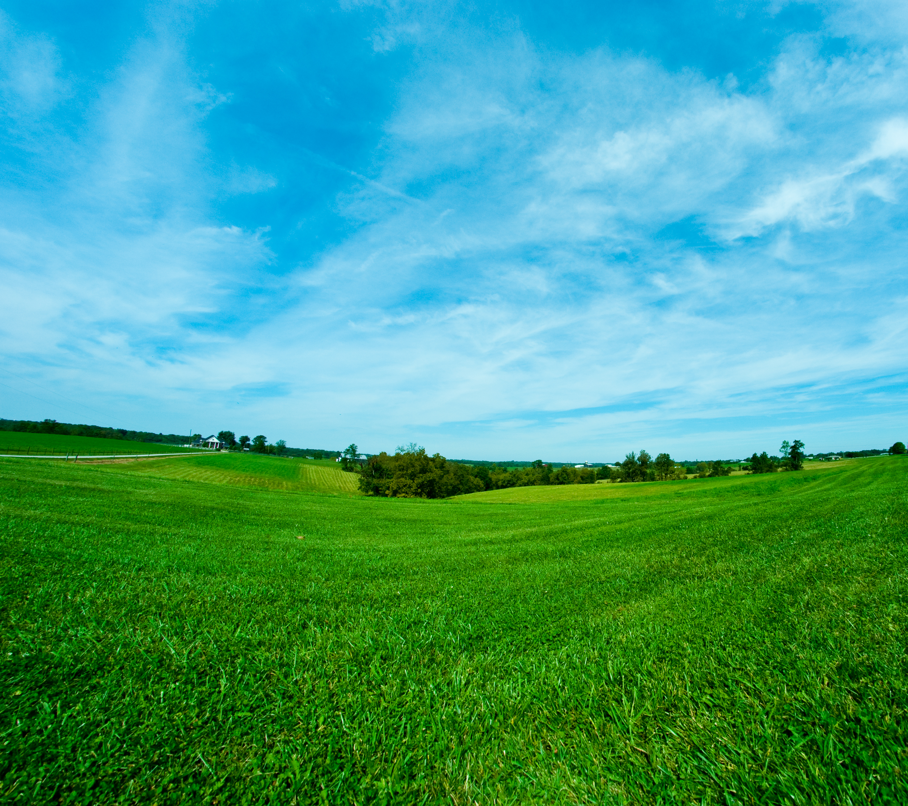
Mason County Farm

Ohio River
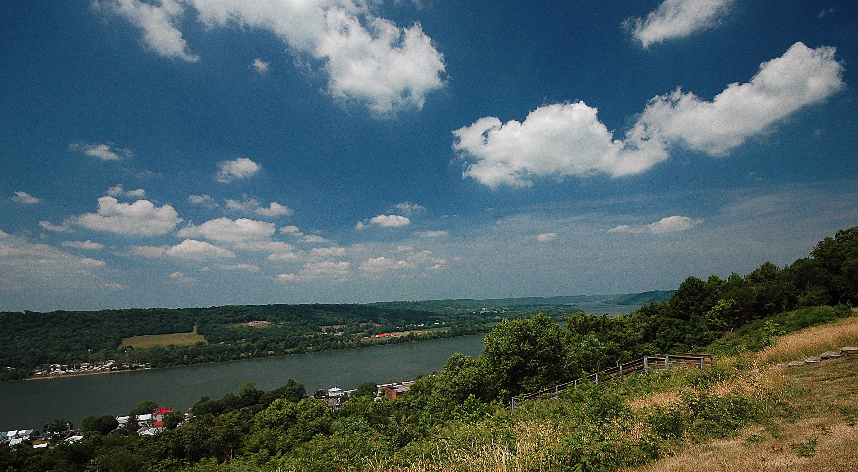
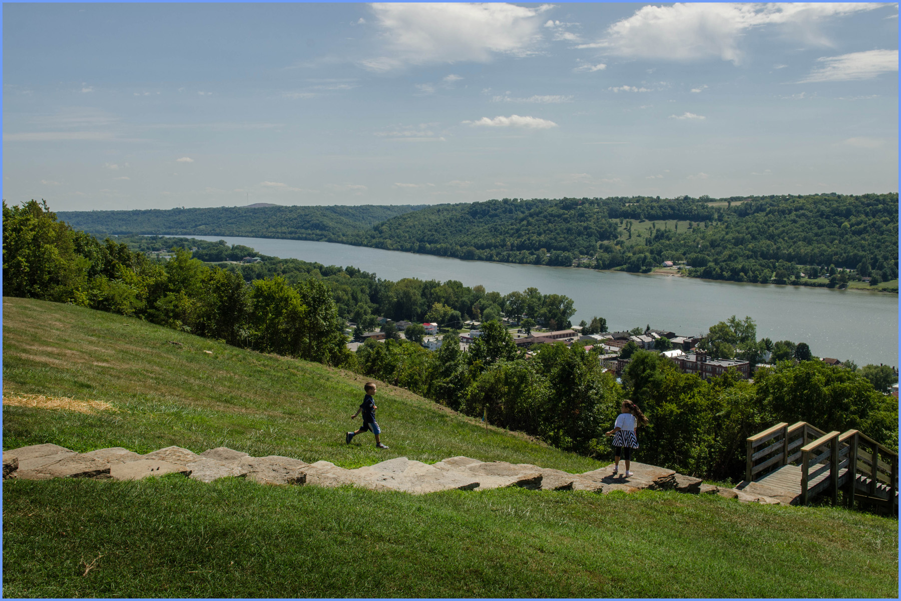
Ohio River from John Rankin Natl. Historic Site - Ripley, Ohio
Maysville, on the Ohio, Kentucky
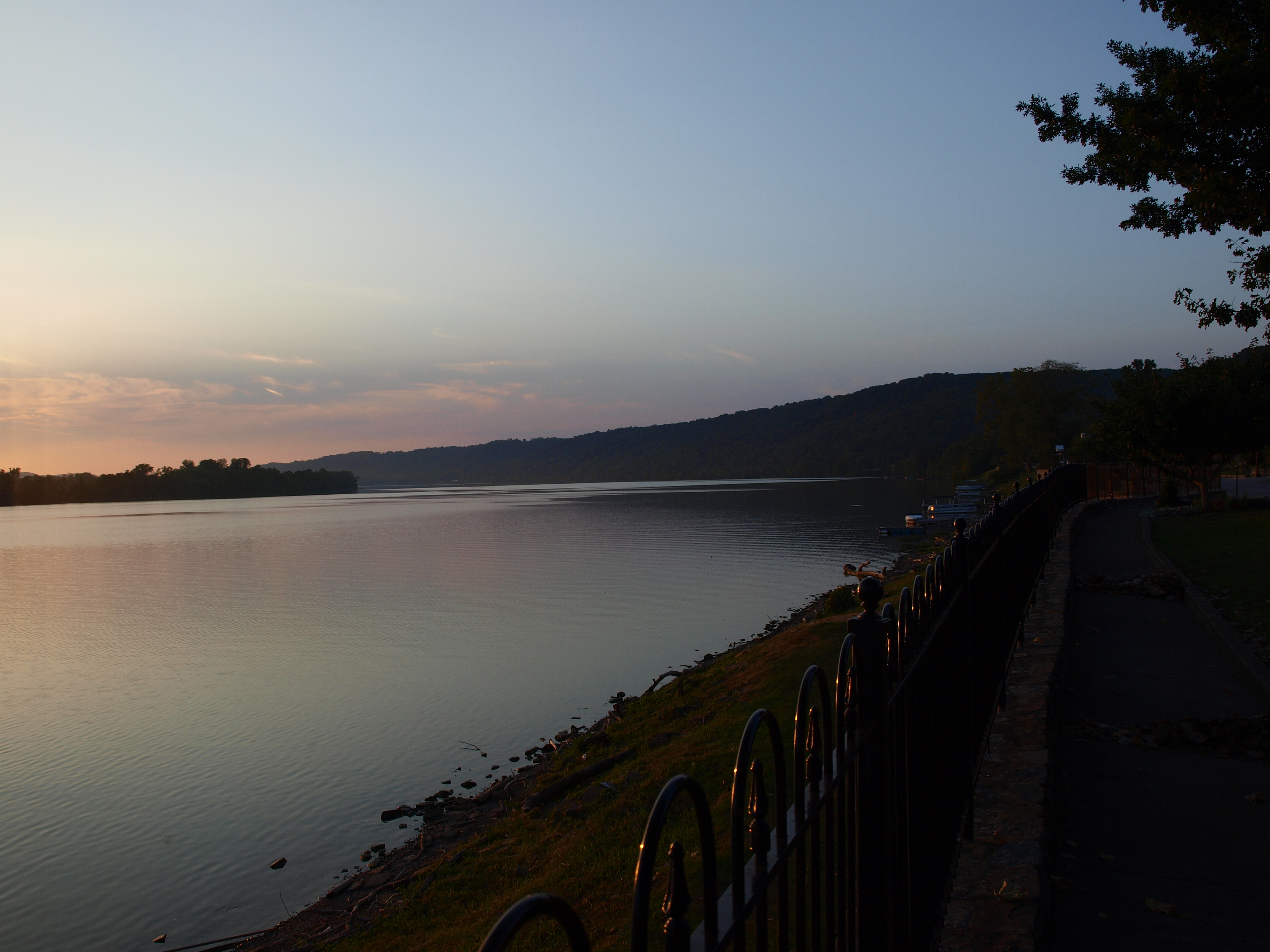
Ohio River at sunset, Ripley, Ohio
Nursing Home Batavia Ohio

Picnic Trail
jack Roush day 2013

Purple Haze
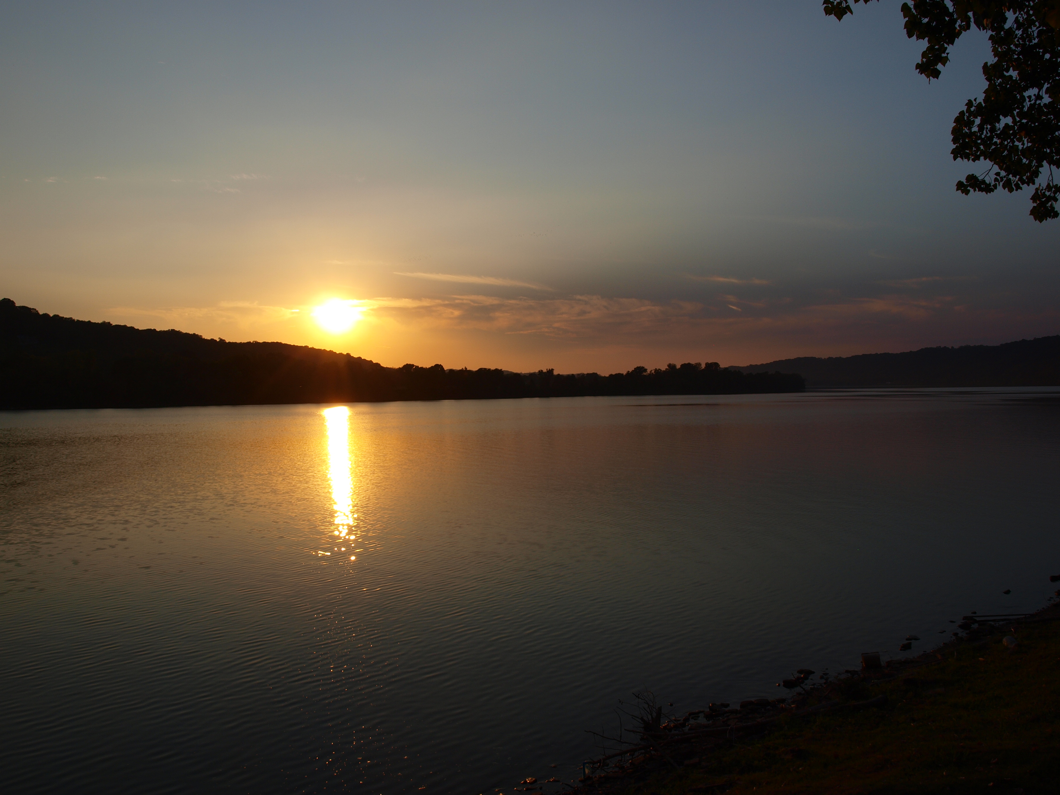
Ohio River at sunset, Ripley, Ohio
Swisher Family Reunion 2014

...
Topographic Map of OH-, Aberdeen, OH, USA
Find elevation by address:

Places near OH-, Aberdeen, OH, USA:
Huntington Township
Eagle Creek Bridge
Sprigg Township
Aberdeen
Maysville
33 E 2nd St
404 W 2nd St
1014 Sullivan Rd
Union Township
522 Valentine Dr
Boone Ave, Maysville, KY, USA
479 Fetters Rd
OH-41, Manchester, OH, USA
Bentonville
28 Pond Dr
Pond Drive
Ripley
Taylor Mill Rd, Maysville, KY, USA
Mason Lewis Rd, Maysville, KY, USA
Liberty Township
Recent Searches:
- Elevation of Corso Fratelli Cairoli, 35, Macerata MC, Italy
- Elevation of Tallevast Rd, Sarasota, FL, USA
- Elevation of 4th St E, Sonoma, CA, USA
- Elevation of Black Hollow Rd, Pennsdale, PA, USA
- Elevation of Oakland Ave, Williamsport, PA, USA
- Elevation of Pedrógão Grande, Portugal
- Elevation of Klee Dr, Martinsburg, WV, USA
- Elevation of Via Roma, Pieranica CR, Italy
- Elevation of Tavkvetili Mountain, Georgia
- Elevation of Hartfords Bluff Cir, Mt Pleasant, SC, USA