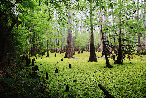
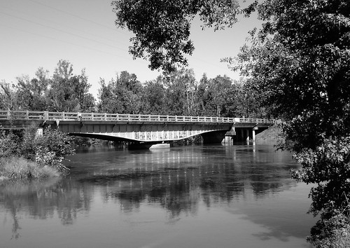
Elevation of Old River Road, Old River Rd, Louisiana, USA
Location: United States > Louisiana > Calcasieu Parish > > Starks >
Longitude: -93.685777
Latitude: 30.423812
Elevation: -10000m / -32808feet
Barometric Pressure: 295KPa
Related Photos:
Topographic Map of Old River Road, Old River Rd, Louisiana, USA
Find elevation by address:

Places near Old River Road, Old River Rd, Louisiana, USA:
4203 Green Island Rd
376 Jack Coleman Rd
372 Jack Coleman Rd
Starks
Evangeline Hwy, Starks, LA, USA
334 La-109
LA-12, Dequincy, LA, USA
Deweyville
Fields
LA-, Merryville, LA, USA
Louisiana 109 & Louisiana 389
11, LA, USA
322 County Rd 4212
1, LA, USA
Woods Rd, Vinton, LA, USA
County Road 4214
County Road 4215
300 County Rd 4214
Barbara St, Orange, TX, USA
Merryville, LA, USA
Recent Searches:
- Elevation of Corso Fratelli Cairoli, 35, Macerata MC, Italy
- Elevation of Tallevast Rd, Sarasota, FL, USA
- Elevation of 4th St E, Sonoma, CA, USA
- Elevation of Black Hollow Rd, Pennsdale, PA, USA
- Elevation of Oakland Ave, Williamsport, PA, USA
- Elevation of Pedrógão Grande, Portugal
- Elevation of Klee Dr, Martinsburg, WV, USA
- Elevation of Via Roma, Pieranica CR, Italy
- Elevation of Tavkvetili Mountain, Georgia
- Elevation of Hartfords Bluff Cir, Mt Pleasant, SC, USA

