Elevation of County Road, County Rd, Orange, TX, USA
Location: United States > Texas > Newton County >
Longitude: -93.769529
Latitude: 30.2514148
Elevation: 9m / 30feet
Barometric Pressure: 101KPa
Elevation Map:
Satellite Map:
Related Photos:
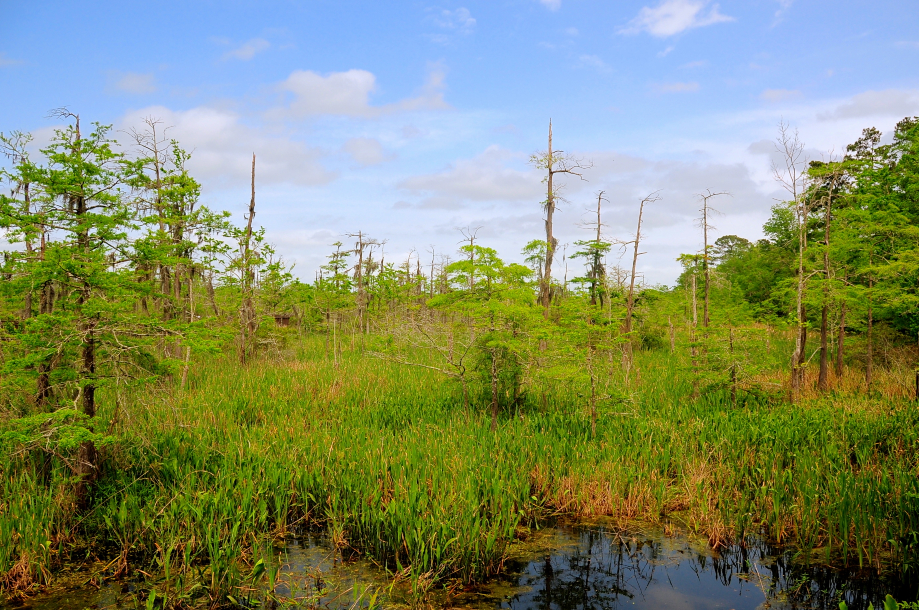
The Summer Landscape
Topographic Map of County Road, County Rd, Orange, TX, USA
Find elevation by address:

Places near County Road, County Rd, Orange, TX, USA:
300 County Rd 4214
County Road 4214
Barbara St, Orange, TX, USA
2433 Highland Park Dr
2564 Highland Park Dr
322 County Rd 4212
Deweyville
5971 Hidden Meadows Dr
6448 Hidden Meadows Dr
1812 Windsor Dr
8405 Stratford Dr
8409 Shakespeare Dr
8401 Stratford Dr
14193 Fm1130
8129 Canterbury Dr
4347 Gilbert Dr
3694 Wilkinson Rd
Wilkinson Road
Sherwood Drive
4143 Wilkinson Rd
Recent Searches:
- Elevation of Corso Fratelli Cairoli, 35, Macerata MC, Italy
- Elevation of Tallevast Rd, Sarasota, FL, USA
- Elevation of 4th St E, Sonoma, CA, USA
- Elevation of Black Hollow Rd, Pennsdale, PA, USA
- Elevation of Oakland Ave, Williamsport, PA, USA
- Elevation of Pedrógão Grande, Portugal
- Elevation of Klee Dr, Martinsburg, WV, USA
- Elevation of Via Roma, Pieranica CR, Italy
- Elevation of Tavkvetili Mountain, Georgia
- Elevation of Hartfords Bluff Cir, Mt Pleasant, SC, USA