Elevation of Green Island Rd, Starks, LA, USA
Location: United States > Louisiana > Calcasieu Parish > > Starks >
Longitude: -93.632682
Latitude: 30.384599
Elevation: 16m / 52feet
Barometric Pressure: 0KPa
Related Photos:

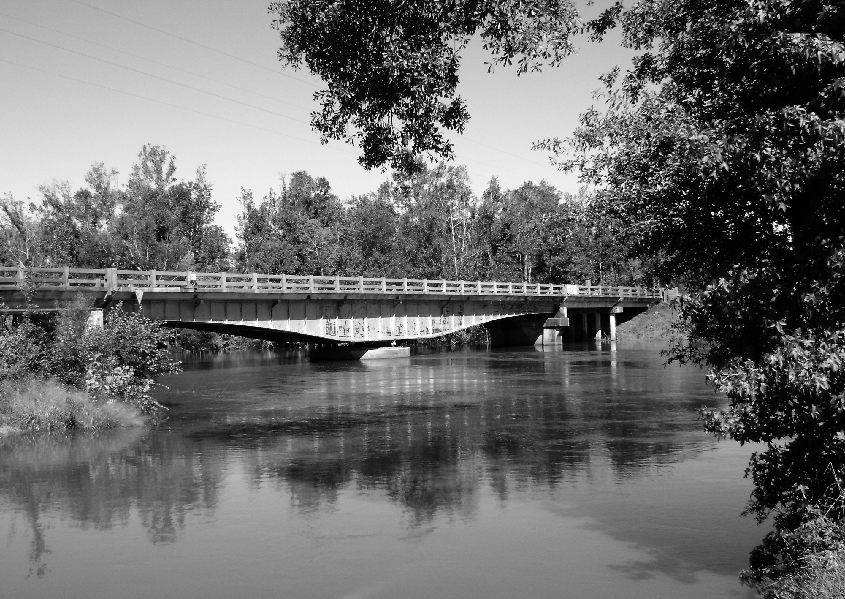
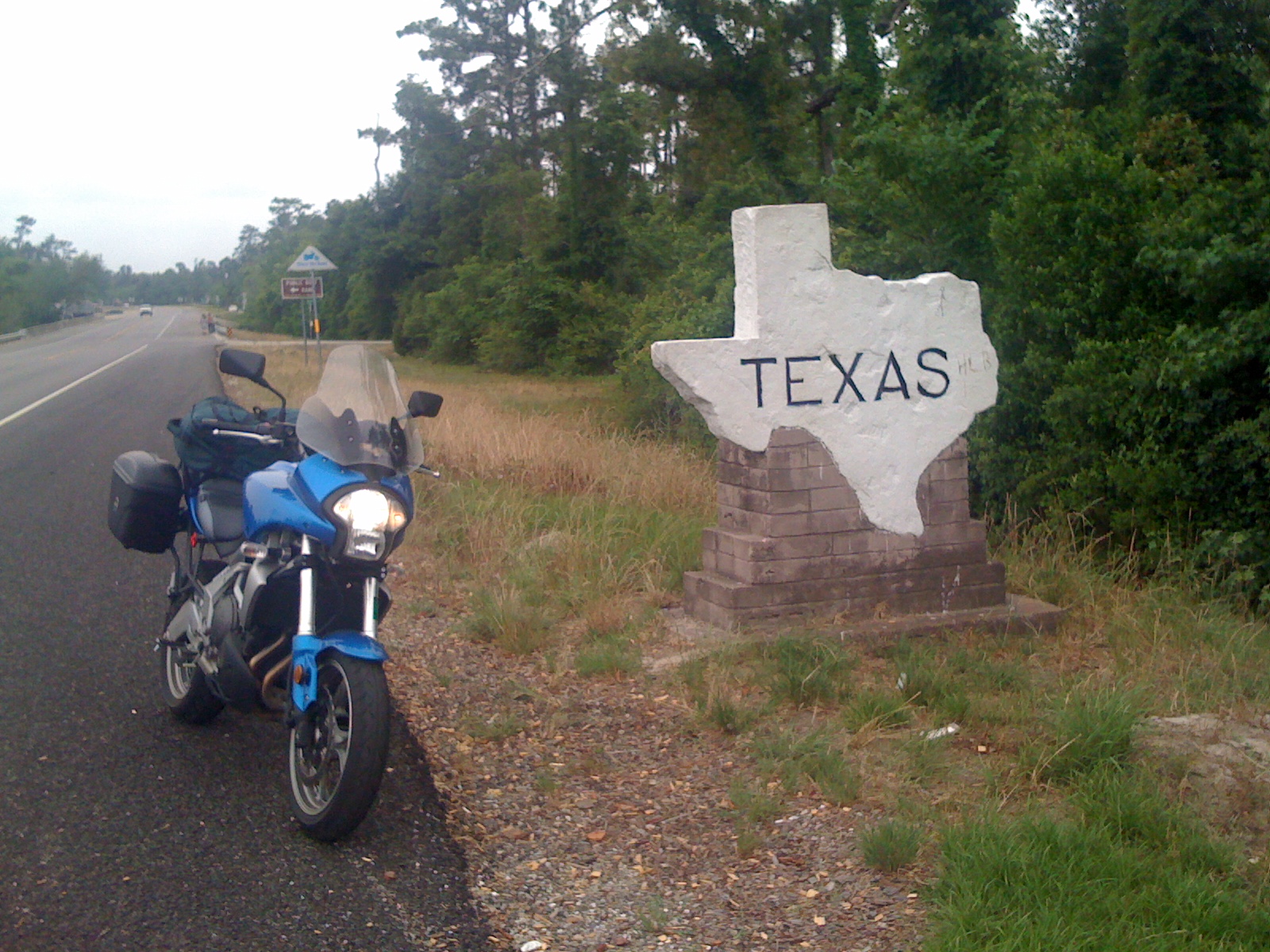
IMG_0414
Sabine River Bridge, Hwy 12, Deweyville, Texas 1031091401BW
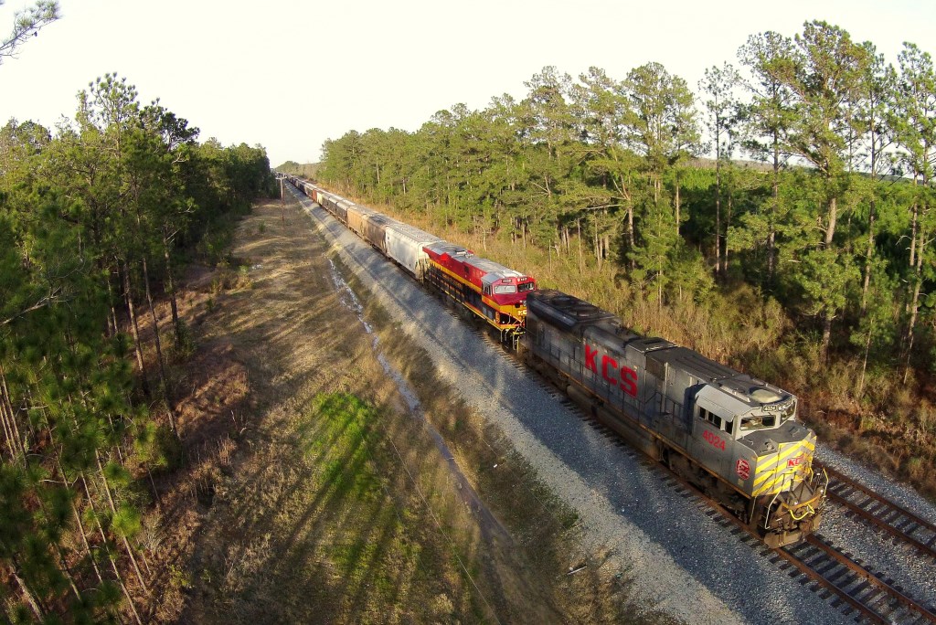
KCS GKCHQS 07, Helme, LA
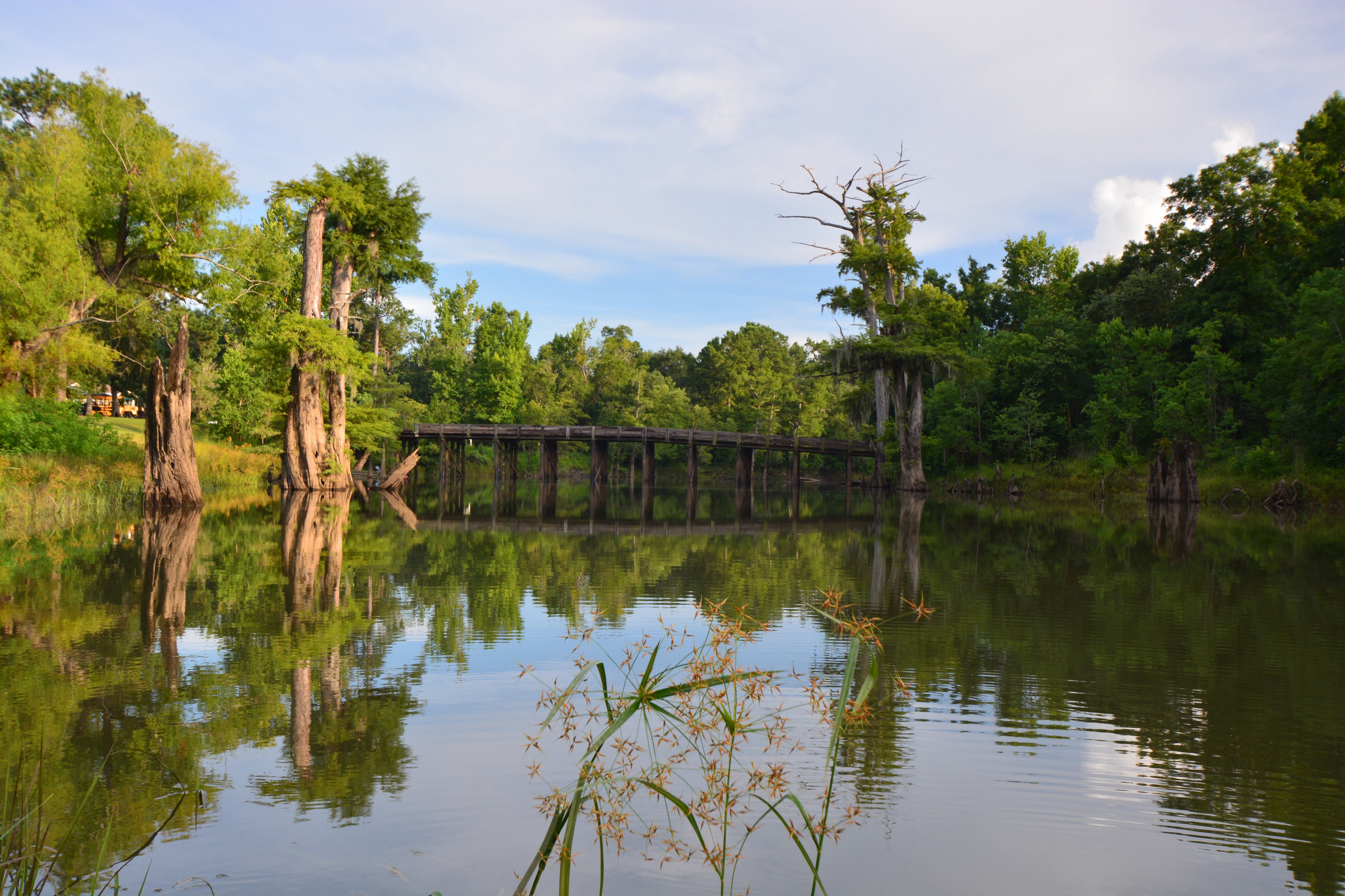
Alligator Park
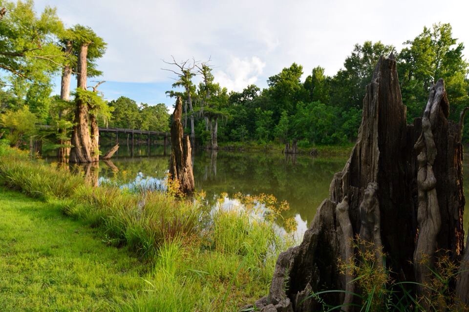
Alligator Park
Made it!
Topographic Map of Green Island Rd, Starks, LA, USA
Find elevation by address:

Places near Green Island Rd, Starks, LA, USA:
Old River Road
LA-12, Dequincy, LA, USA
Starks
Evangeline Hwy, Starks, LA, USA
334 La-109
11, LA, USA
372 Jack Coleman Rd
376 Jack Coleman Rd
Woods Rd, Vinton, LA, USA
Deweyville
Fields
Louisiana 109 & Louisiana 389
LA-, Merryville, LA, USA
1, LA, USA
1191 Pinder Ln
1191 Pinder Ln
1191 Pinder Ln
322 County Rd 4212
1150 La-389
County Road 4214
Recent Searches:
- Elevation map of Nagano Prefecture, Japan
- Elevation of 587, Bascule Drive, Oakdale, Stanislaus County, California, 95361, USA
- Elevation of Stadion Wankdorf, Sempachstrasse, Breitfeld, Bern, Bern-Mittelland administrative district, Bern, 3014, Switzerland
- Elevation of Z024, 76, Emil-von-Behring-Straße, Marbach, Marburg, Landkreis Marburg-Biedenkopf, Hesse, 35041, Germany
- Elevation of Gaskill Road, Hunts Cross, Liverpool, England, L24 9PH, United Kingdom
- Elevation of Speke, Liverpool, England, L24 9HD, United Kingdom
- Elevation of Seqirus, 475, Green Oaks Parkway, Holly Springs, Wake County, North Carolina, 27540, USA
- Elevation of Pasing, Munich, Bavaria, 81241, Germany
- Elevation of 24, Auburn Bay Crescent SE, Auburn Bay, Calgary, Alberta, T3M 0A6, Canada
- Elevation of Denver, 2314, Arapahoe Street, Five Points, Denver, Colorado, 80205, USA
- Elevation of Community of the Beatitudes, 2924, West 43rd Avenue, Sunnyside, Denver, Colorado, 80211, USA
- Elevation map of Litang County, Sichuan, China
- Elevation map of Madoi County, Qinghai, China
- Elevation of 3314, Ohio State Route 114, Payne, Paulding County, Ohio, 45880, USA
- Elevation of Sarahills Drive, Saratoga, Santa Clara County, California, 95070, USA
- Elevation of Town of Bombay, Franklin County, New York, USA
- Elevation of 9, Convent Lane, Center Moriches, Suffolk County, New York, 11934, USA
- Elevation of Saint Angelas Convent, 9, Convent Lane, Center Moriches, Suffolk County, New York, 11934, USA
- Elevation of 131st Street Southwest, Mukilteo, Snohomish County, Washington, 98275, USA
- Elevation of 304, Harrison Road, Naples, Cumberland County, Maine, 04055, USA