Elevation of Old Mixon Rd, Poplarville, MS, USA
Location: United States > Mississippi > Pearl River County > Poplarville >
Longitude: -89.675815
Latitude: 30.7312305
Elevation: 36m / 118feet
Barometric Pressure: 101KPa
Elevation Map:
Satellite Map:
Related Photos:

Betsy on the MOOOve ? (2 Views)

The Shaping Post_8266

YES WE ( Peli ) CAN..

Mississippi Sunset

Eye in the sky
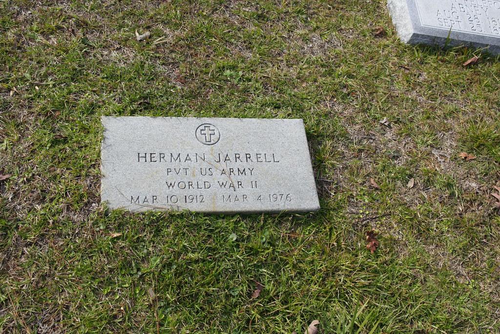
Herman Jarrell

Sherrard Byrd

Alice G. Harvey

Bobby Joe Harvey

PRCUES Show Chorus X-Mas 024.JPG

Beautiful Lynn

Free meal with purchase of 100 gallons of fuel

McNeill Travel Plaza

I-59

High School Marching Band Adopts Name of Defunct R&B Group...

Something in the air...
Mississippi 102
Topographic Map of Old Mixon Rd, Poplarville, MS, USA
Find elevation by address:

Places near Old Mixon Rd, Poplarville, MS, USA:
Larow Drive
32 Lunker Ln
98 Quitman Perry Rd
Forbes Lane
1 Fox Run N
1 Fox Run N
1 Fox Run N
106 Ramsey-hall Rd
60 Dead End Rd
415 George Wise Rd
Carriere
160 Bear Dr
38 Uncle Pete Rd
4466 Ms-43
650 Liberty Rd
690 Quave Rd
1, LA, USA
80447 La-41
57573 Spring Valley Rd
57807 Spring Valley Rd
Recent Searches:
- Elevation of Corso Fratelli Cairoli, 35, Macerata MC, Italy
- Elevation of Tallevast Rd, Sarasota, FL, USA
- Elevation of 4th St E, Sonoma, CA, USA
- Elevation of Black Hollow Rd, Pennsdale, PA, USA
- Elevation of Oakland Ave, Williamsport, PA, USA
- Elevation of Pedrógão Grande, Portugal
- Elevation of Klee Dr, Martinsburg, WV, USA
- Elevation of Via Roma, Pieranica CR, Italy
- Elevation of Tavkvetili Mountain, Georgia
- Elevation of Hartfords Bluff Cir, Mt Pleasant, SC, USA