Elevation of Spring Valley Rd, Bogalusa, LA, USA
Location: United States > Louisiana > Washington Parish > > Bogalusa >
Longitude: -89.924545
Latitude: 30.7476256
Elevation: 61m / 200feet
Barometric Pressure: 101KPa
Elevation Map:
Satellite Map:
Related Photos:
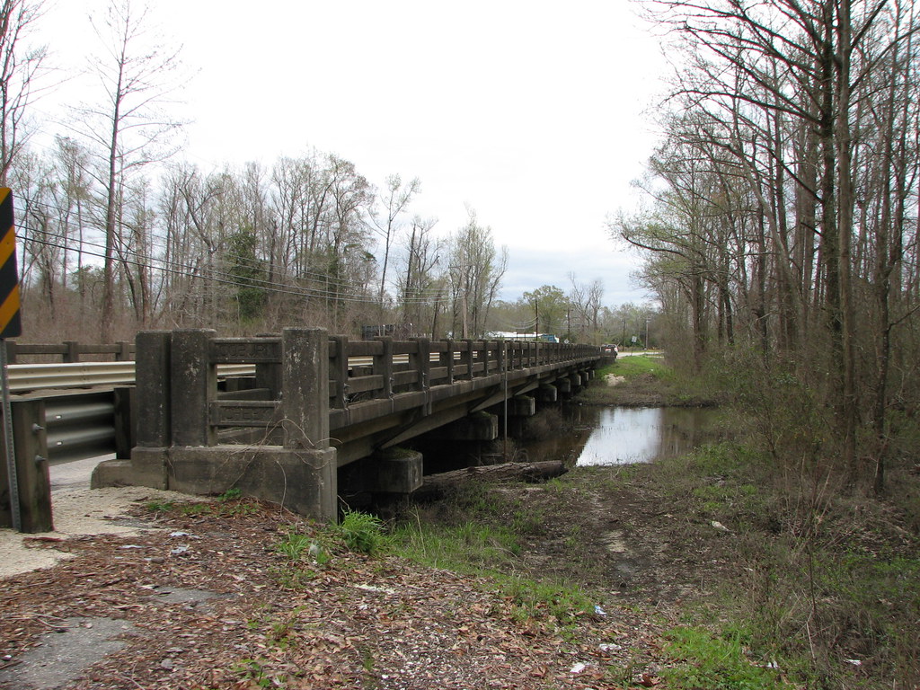
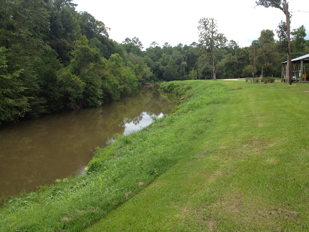
Coburn Creek-Side View
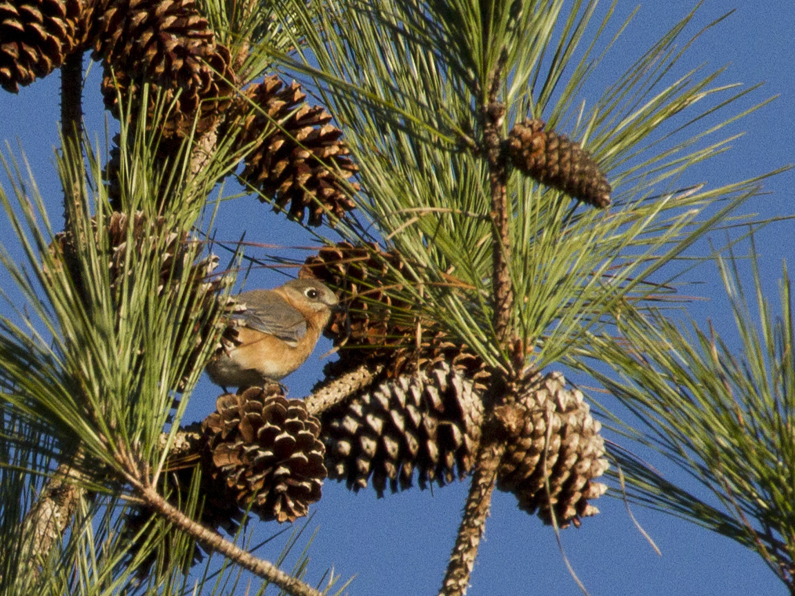
Eastern Bluebird - eabl
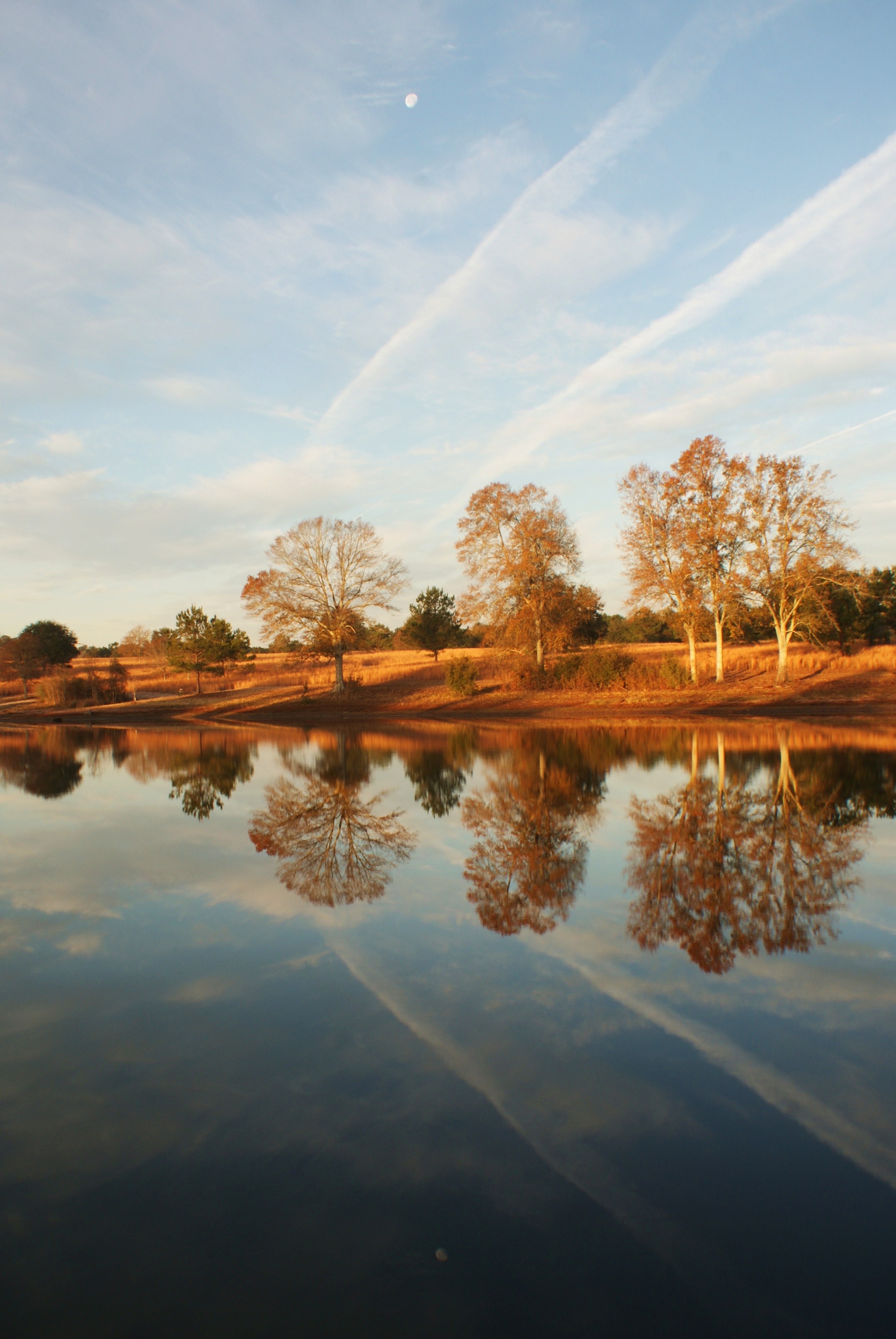
Mimi and papa's pond

2013-02-05_18-19-28_NEX-5_DSC02646
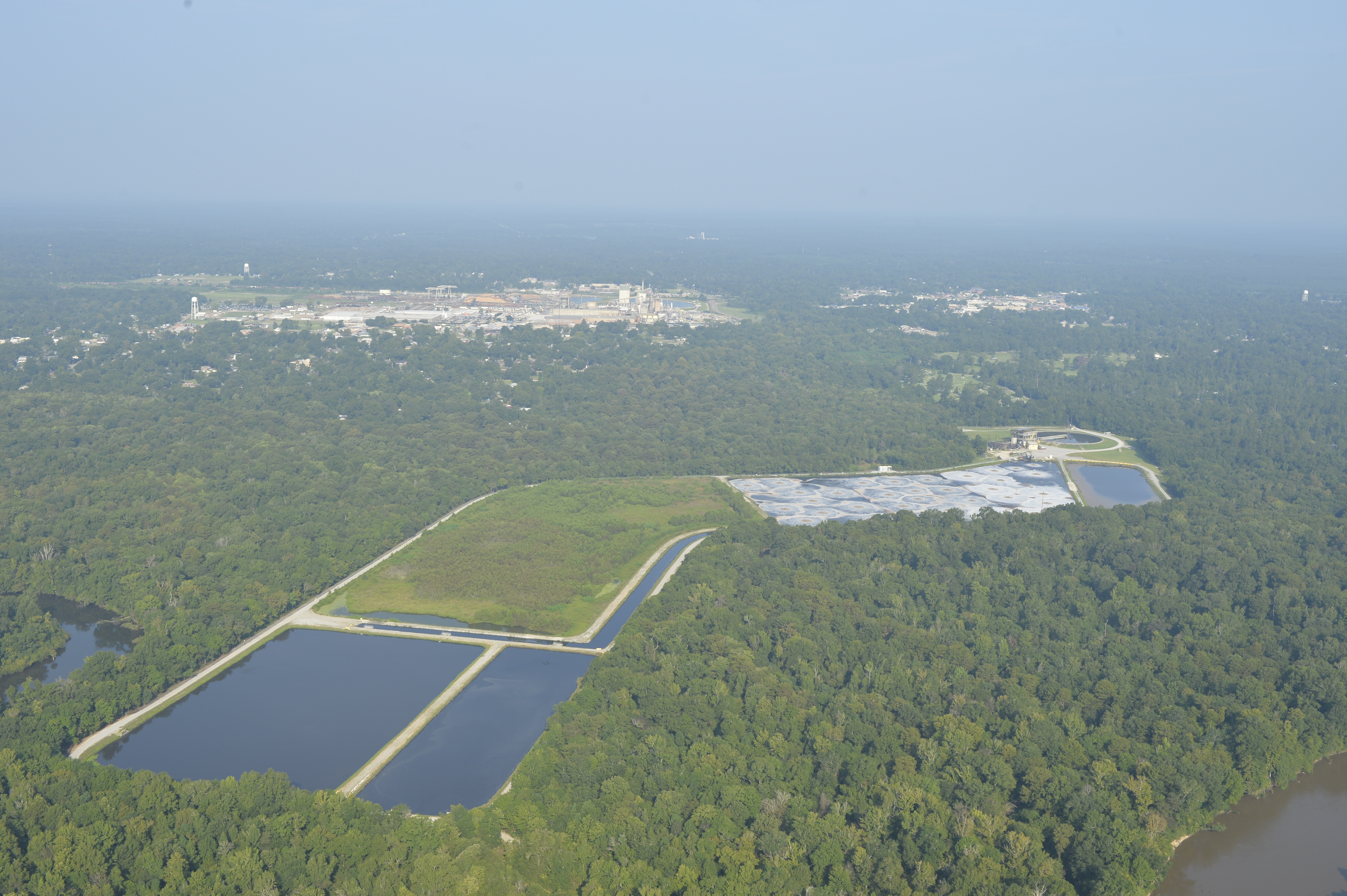
a paper mill_BLD6491
a pooles bluff sill pearl river_BLD6476

@mordecai02 practicing canoe techniques and working on his canoe merit badge.

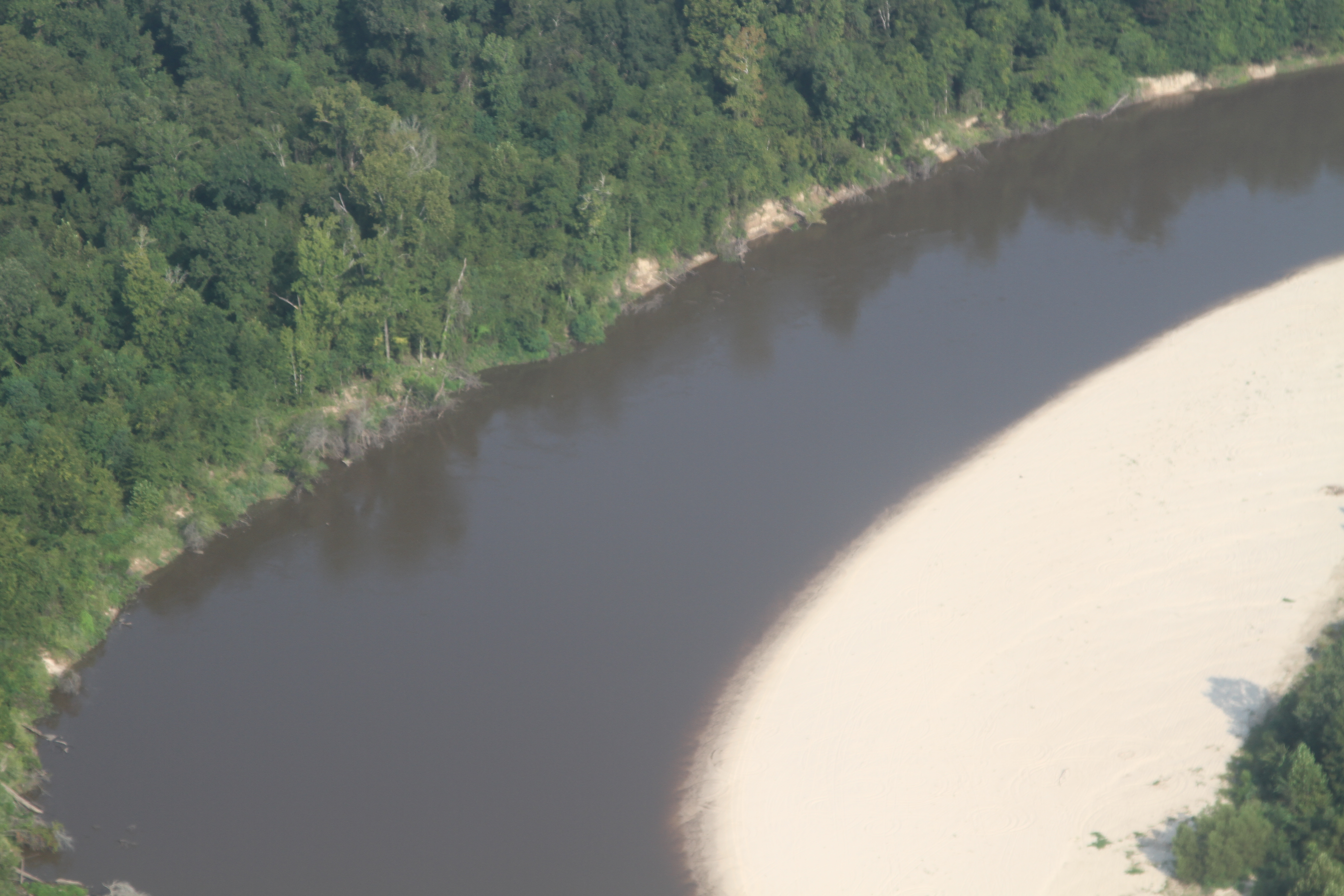
a sandbar beautiful camps pearl river_BLD6495
a pooles bluff_BLD6479

a pretty bend_BLD6488
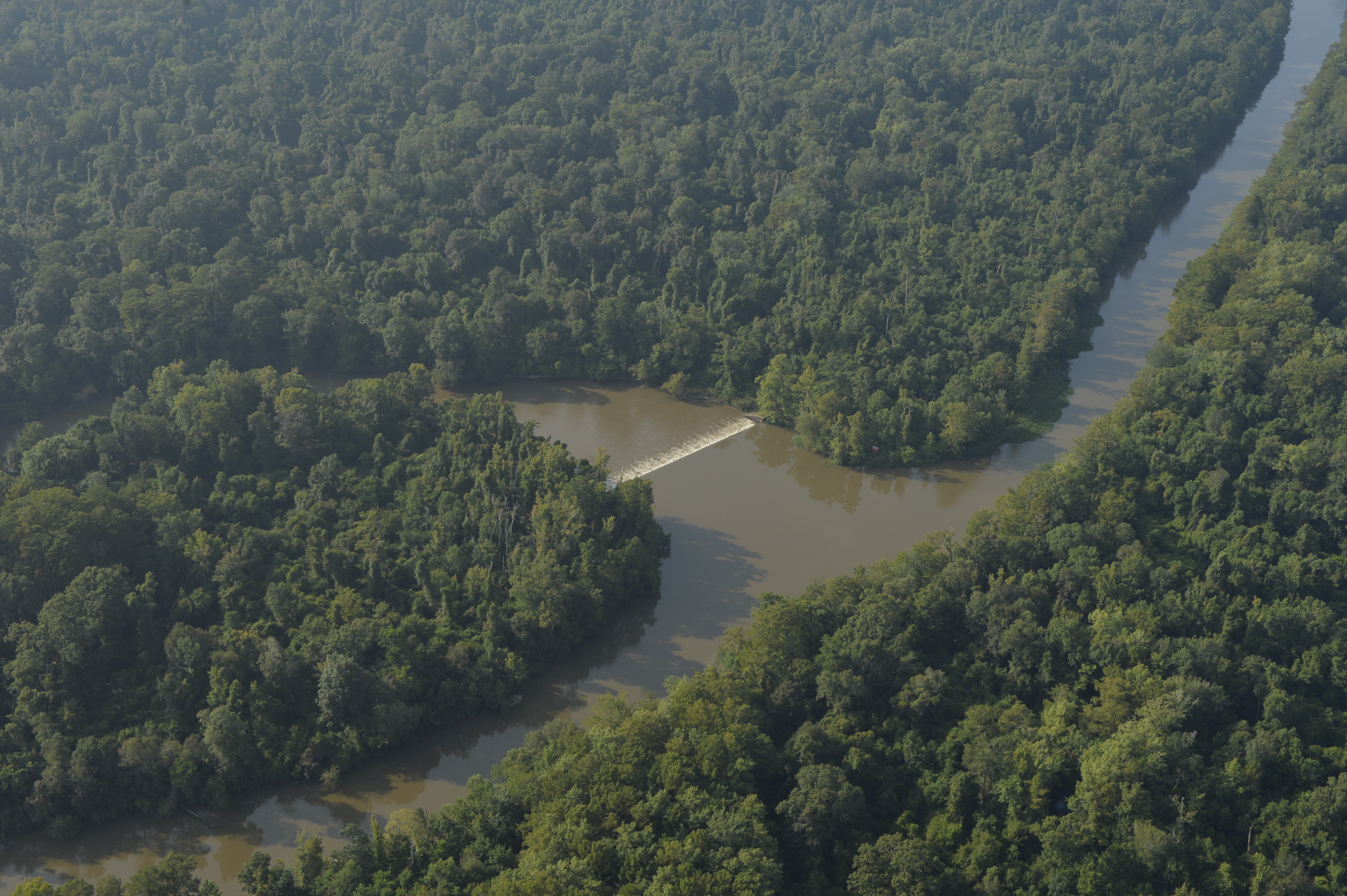
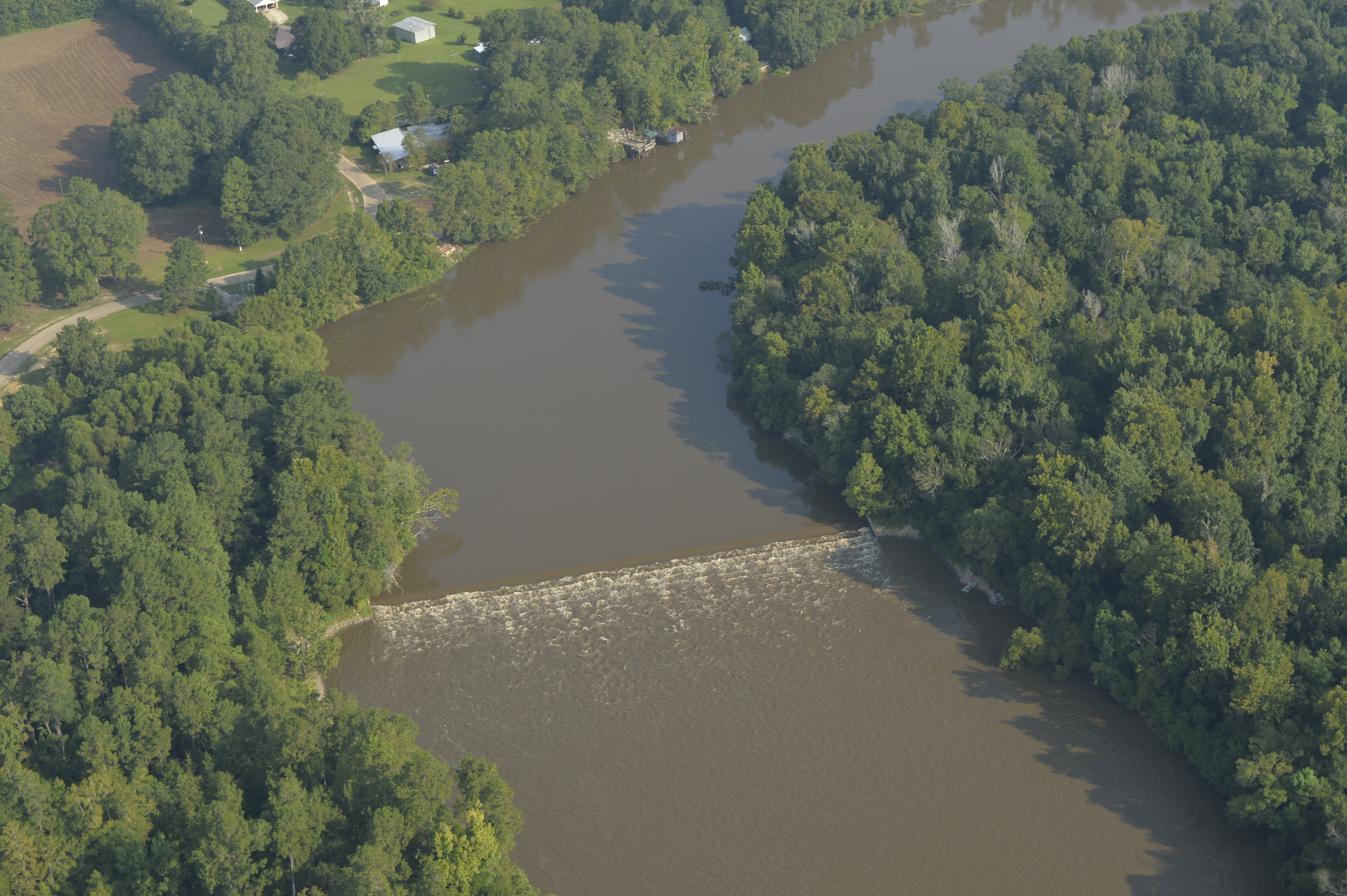
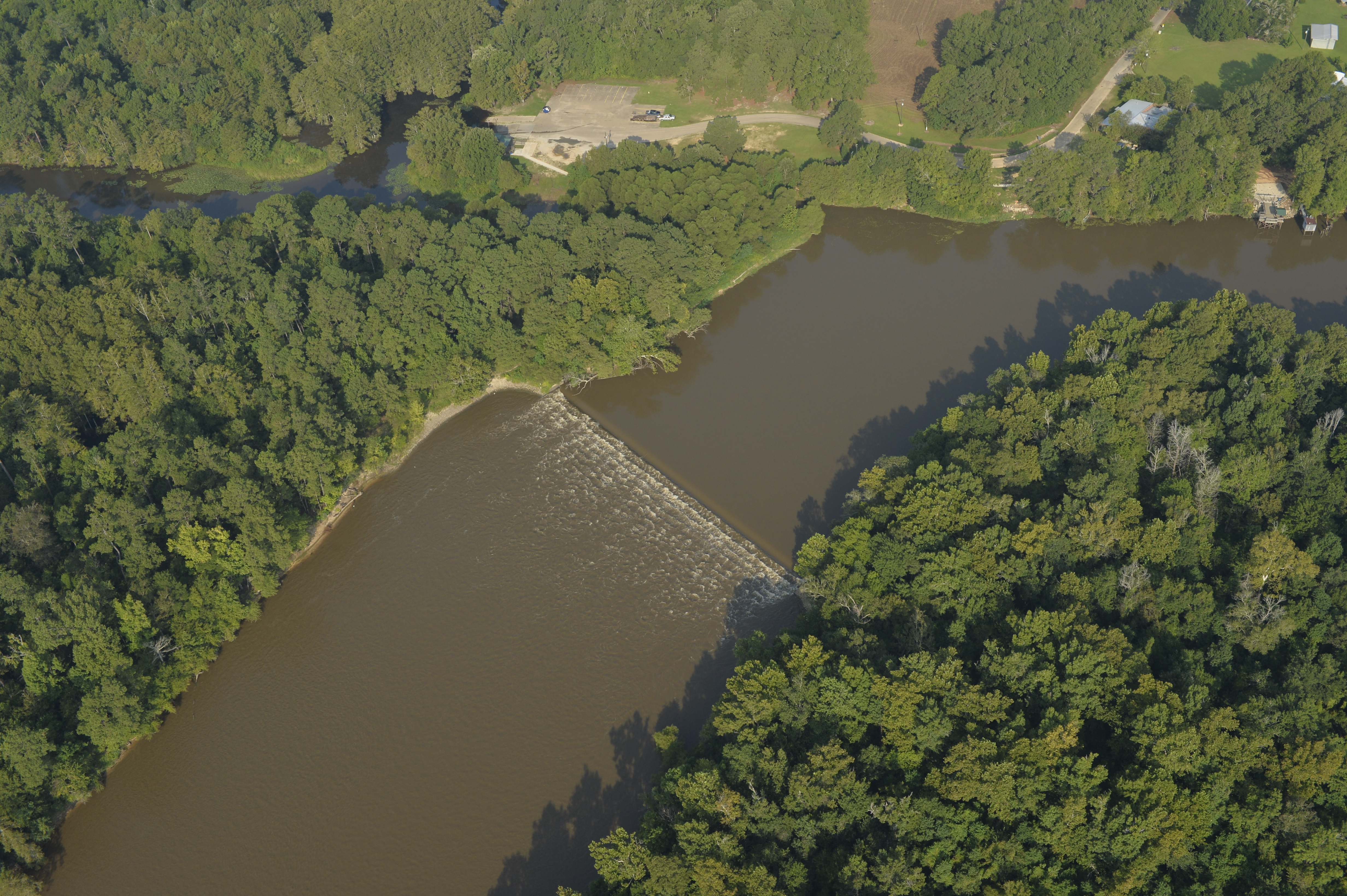
a weir bogue chitto pearl river_BLD6459
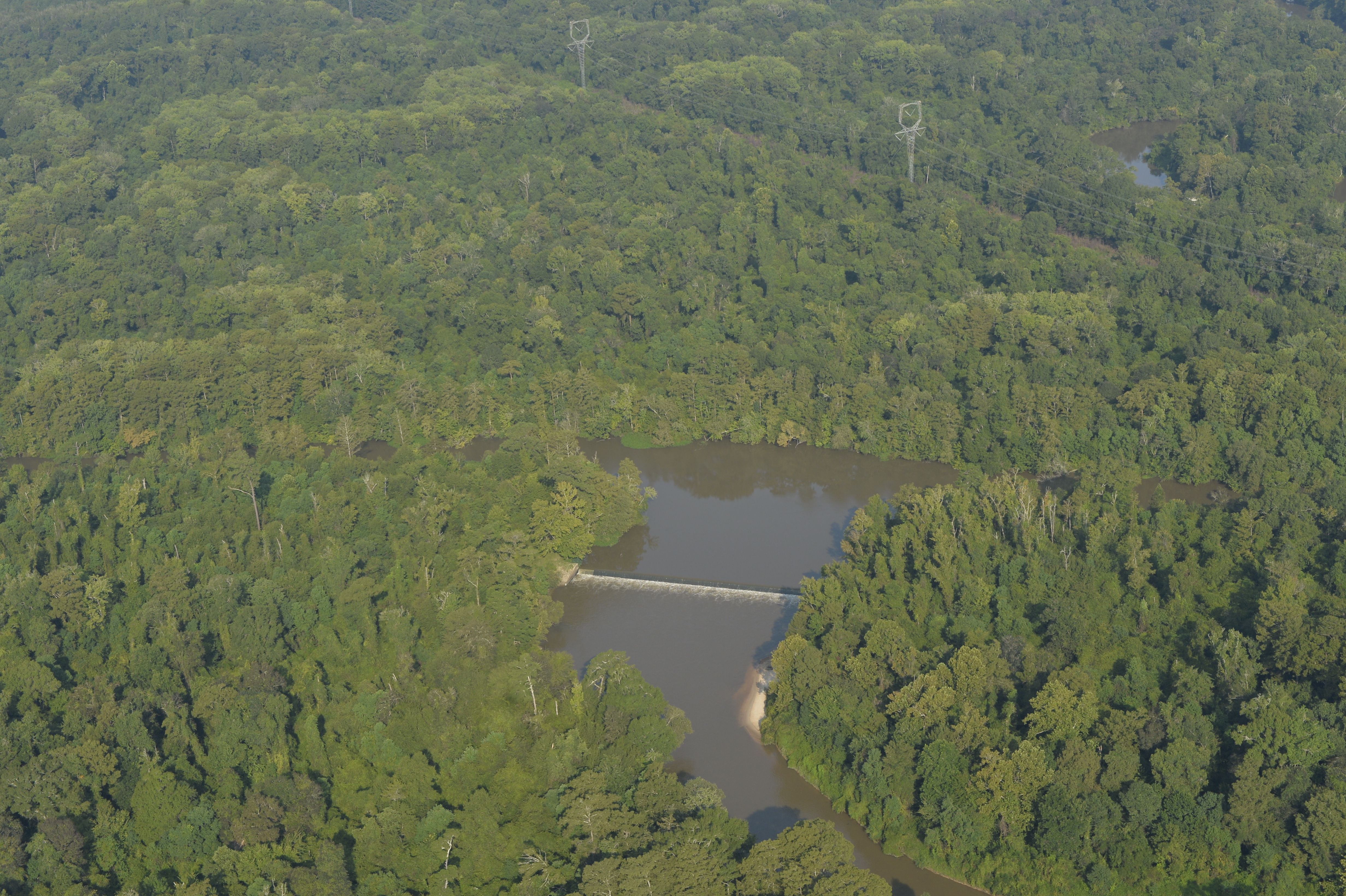
a bogue chitto sill_BLD6469
The bogue
a IMG_1002 pretty sandbar nice color pearl river
a IMG_0965 slough fills with willow

River Instability --logjam with camp
a IMG_0974 willow marks a newly filled slough
Topographic Map of Spring Valley Rd, Bogalusa, LA, USA
Find elevation by address:

Places near Spring Valley Rd, Bogalusa, LA, USA:
57807 Spring Valley Rd
2, LA, USA
Louisiana 60
LA-, Bogalusa, LA, USA
690 Quave Rd
1, LA, USA
Charles Kelly Road
82052 Charles Kelly Rd
38 Uncle Pete Rd
Bush
80475 Oaklawn Dr
160 Bear Dr
Jim Williams Road
80447 La-41
80138 Railroad Ave
80573 Ben Williams Rd
Railroad Avenue
117 Fairgrounds Blvd
106 Ramsey-hall Rd
80663 La-1083
Recent Searches:
- Elevation of Corso Fratelli Cairoli, 35, Macerata MC, Italy
- Elevation of Tallevast Rd, Sarasota, FL, USA
- Elevation of 4th St E, Sonoma, CA, USA
- Elevation of Black Hollow Rd, Pennsdale, PA, USA
- Elevation of Oakland Ave, Williamsport, PA, USA
- Elevation of Pedrógão Grande, Portugal
- Elevation of Klee Dr, Martinsburg, WV, USA
- Elevation of Via Roma, Pieranica CR, Italy
- Elevation of Tavkvetili Mountain, Georgia
- Elevation of Hartfords Bluff Cir, Mt Pleasant, SC, USA