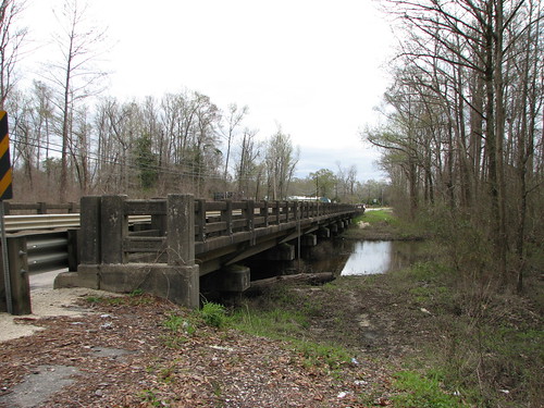
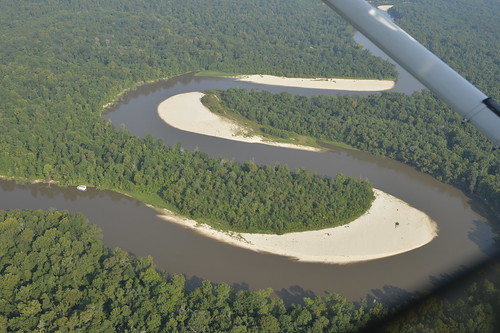
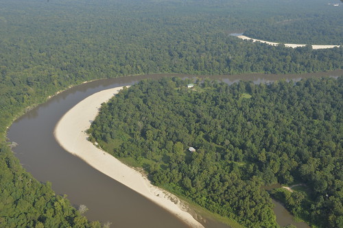
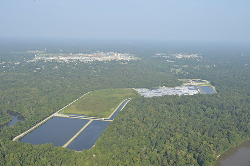
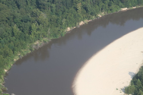
Elevation of Quave Rd, Bogalusa, LA, USA
Location: United States > Louisiana > Washington Parish > >
Longitude: -89.862311
Latitude: 30.7307462
Elevation: -10000m / -32808feet
Barometric Pressure: 295KPa
Related Photos:
Topographic Map of Quave Rd, Bogalusa, LA, USA
Find elevation by address:

Places near Quave Rd, Bogalusa, LA, USA:
1, LA, USA
57807 Spring Valley Rd
57573 Spring Valley Rd
LA-, Bogalusa, LA, USA
38 Uncle Pete Rd
2, LA, USA
160 Bear Dr
106 Ramsey-hall Rd
Louisiana 60
98 Quitman Perry Rd
1 Fox Run N
1 Fox Run N
1 Fox Run N
82052 Charles Kelly Rd
Charles Kelly Road
80447 La-41
Forbes Lane
Bush
80475 Oaklawn Dr
Jim Williams Road
Recent Searches:
- Elevation of Corso Fratelli Cairoli, 35, Macerata MC, Italy
- Elevation of Tallevast Rd, Sarasota, FL, USA
- Elevation of 4th St E, Sonoma, CA, USA
- Elevation of Black Hollow Rd, Pennsdale, PA, USA
- Elevation of Oakland Ave, Williamsport, PA, USA
- Elevation of Pedrógão Grande, Portugal
- Elevation of Klee Dr, Martinsburg, WV, USA
- Elevation of Via Roma, Pieranica CR, Italy
- Elevation of Tavkvetili Mountain, Georgia
- Elevation of Hartfords Bluff Cir, Mt Pleasant, SC, USA
