Elevation of Old Hwy 62, Trail, OR, USA
Location: United States > Oregon > Jackson County > Trail >
Longitude: -122.81102
Latitude: 42.649481
Elevation: 437m / 1434feet
Barometric Pressure: 96KPa
Elevation Map:
Satellite Map:
Related Photos:
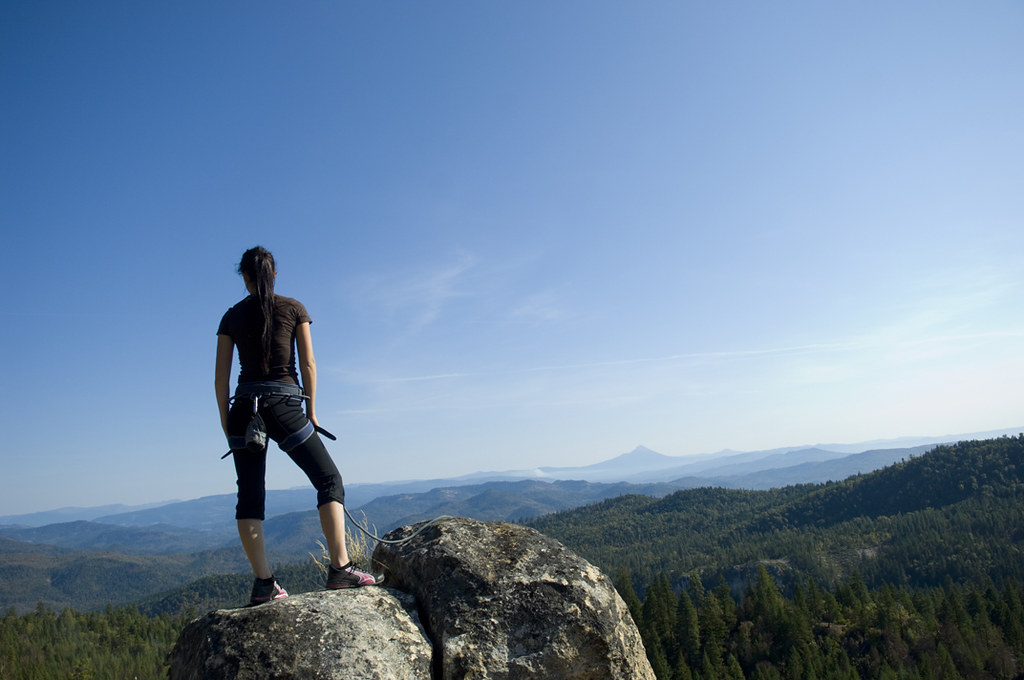
Pretty Young Woman on Cliff
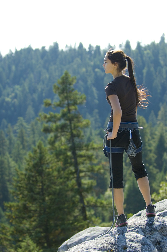
Pretty Young Woman on Cliff

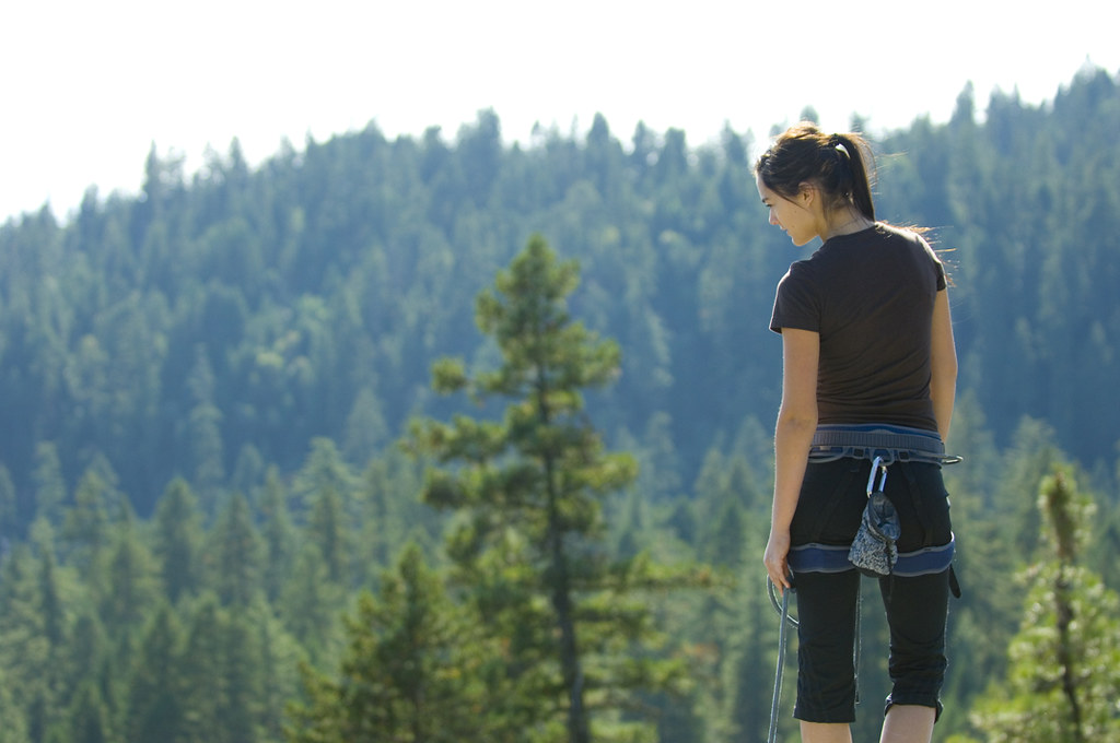
Pretty Young Woman on Cliff
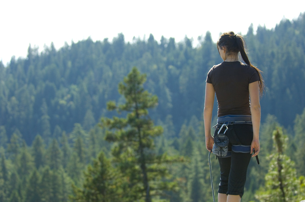
Pretty Young Woman on Cliff
Pretty Young Woman on Cliff

Hermit Thrush (Catharus guttatus)

Barred Owl (Strix varia)
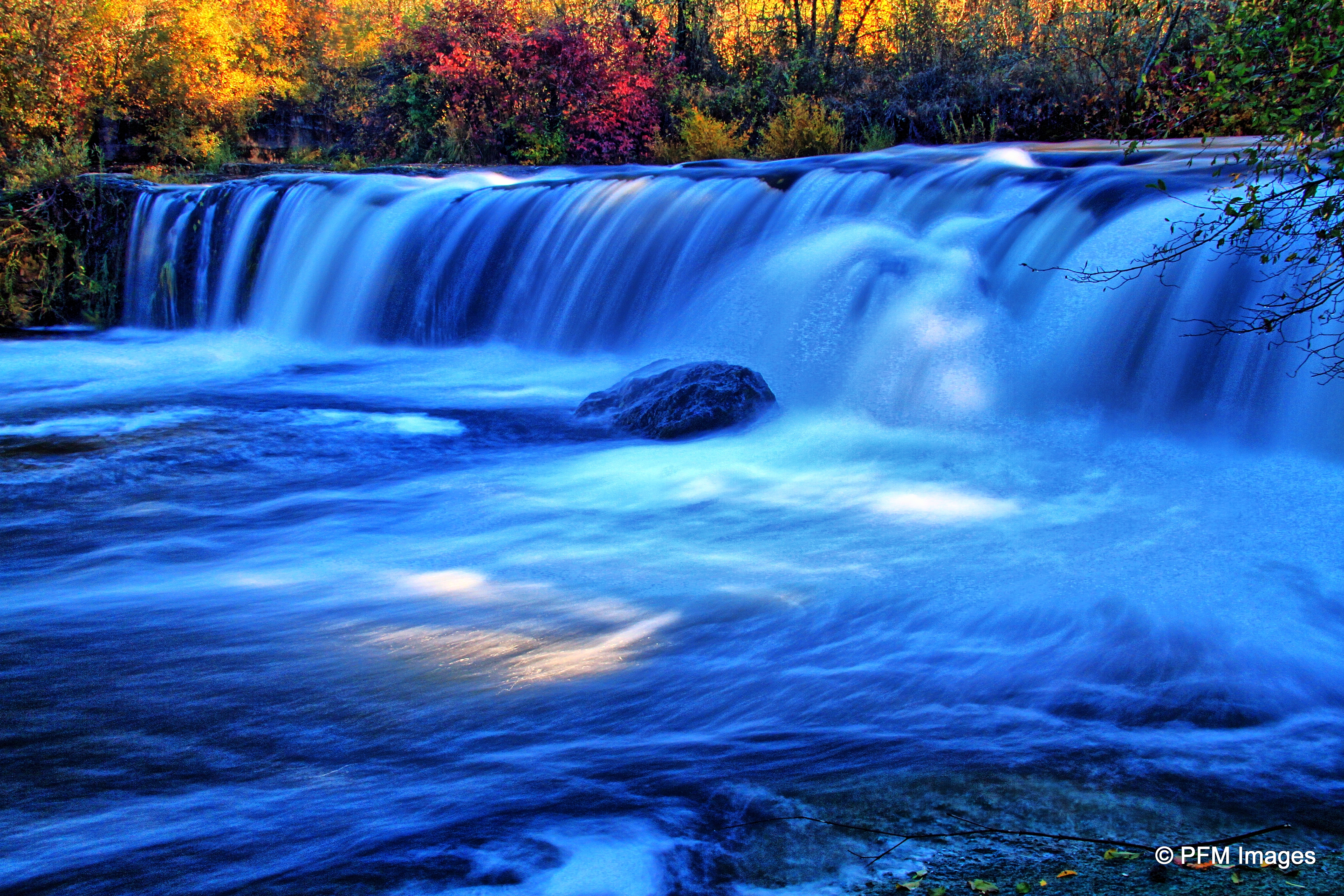
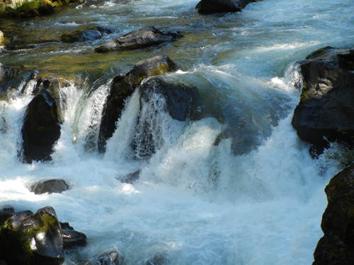
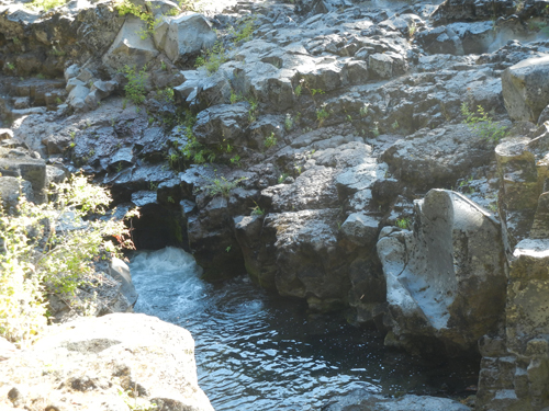
Crowfoot Falls

Found!
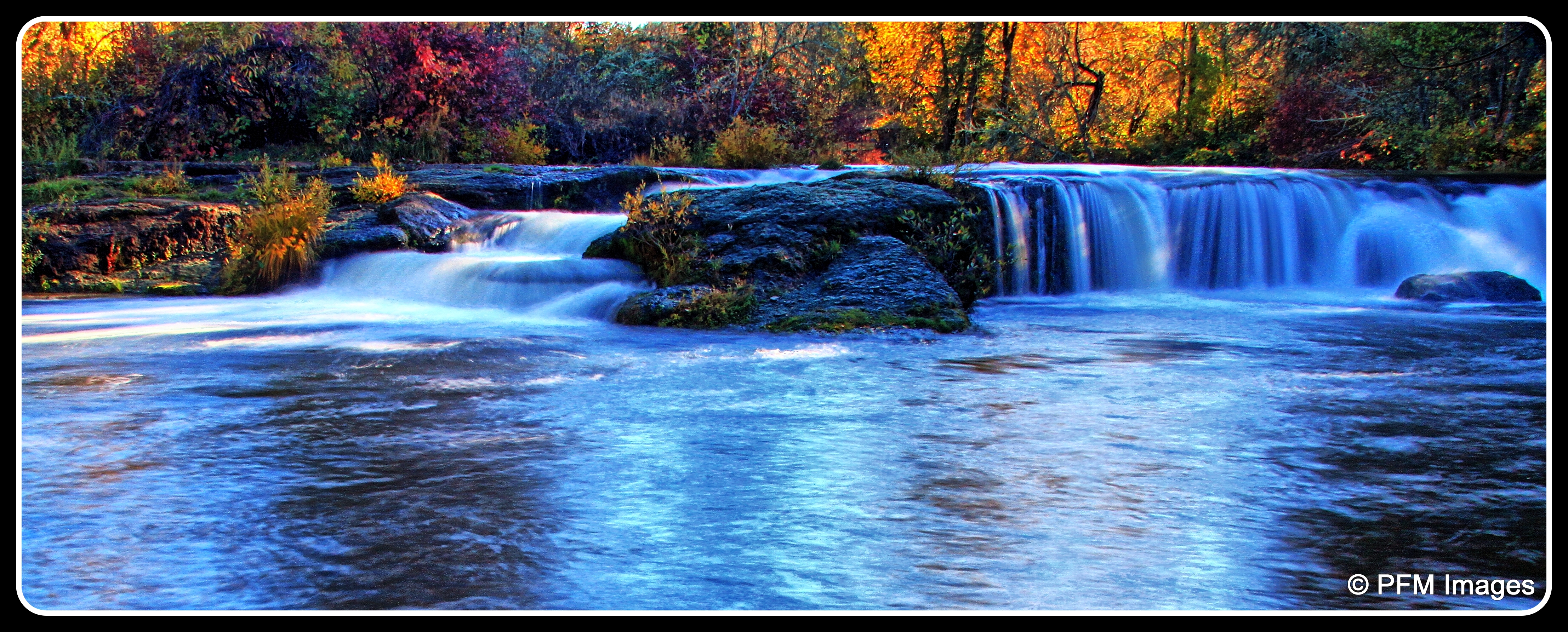
Crowfoot Falls
Casey State Rec Site
Grant's Pass
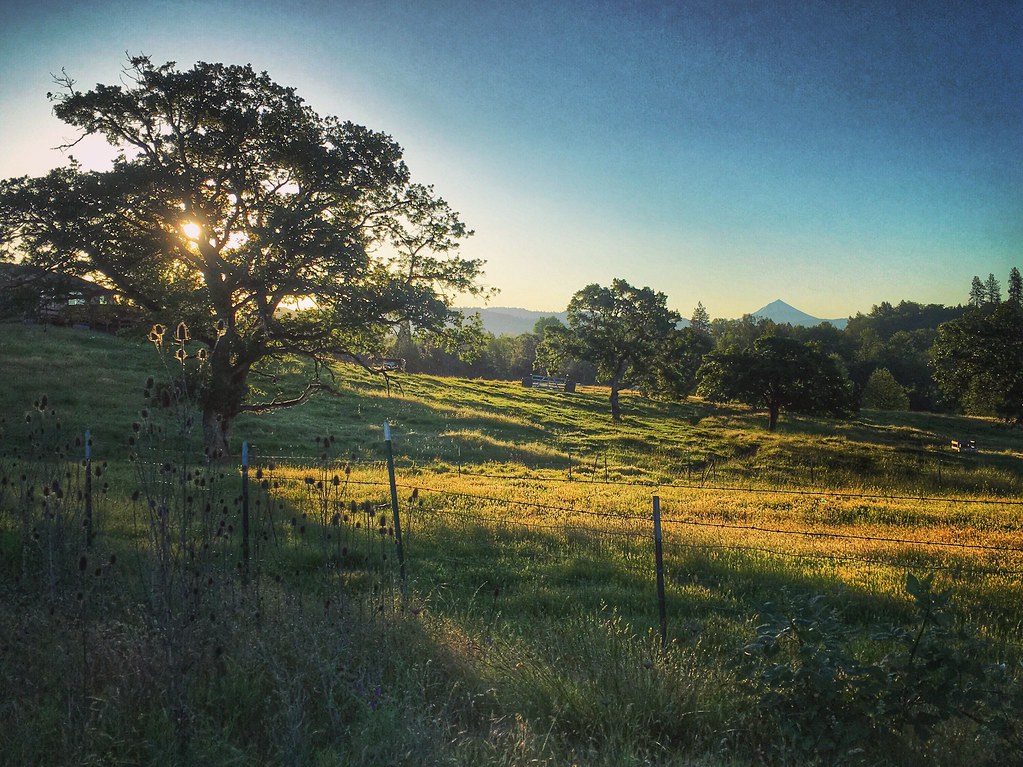
Southern Cascade Range volcano Mount McLoughlin from Eagle Point, Oregon 6:38 a.m. 5/11/16
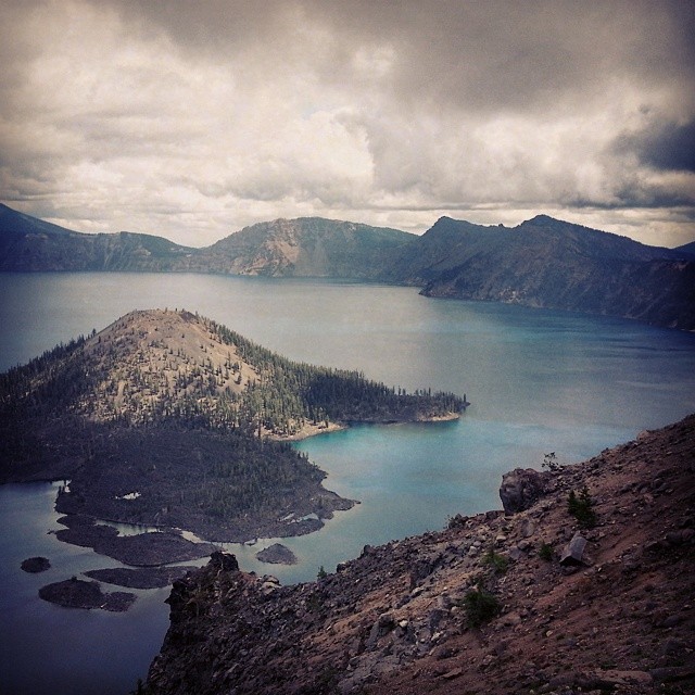
Spent a #cloudy and #cool day up at #CraterLake today with my babe @def_eya. #roadtrip #Oregon #oregonexplored #SouthernOregon #NationalPark #bluewaters #volcano #caldera #island
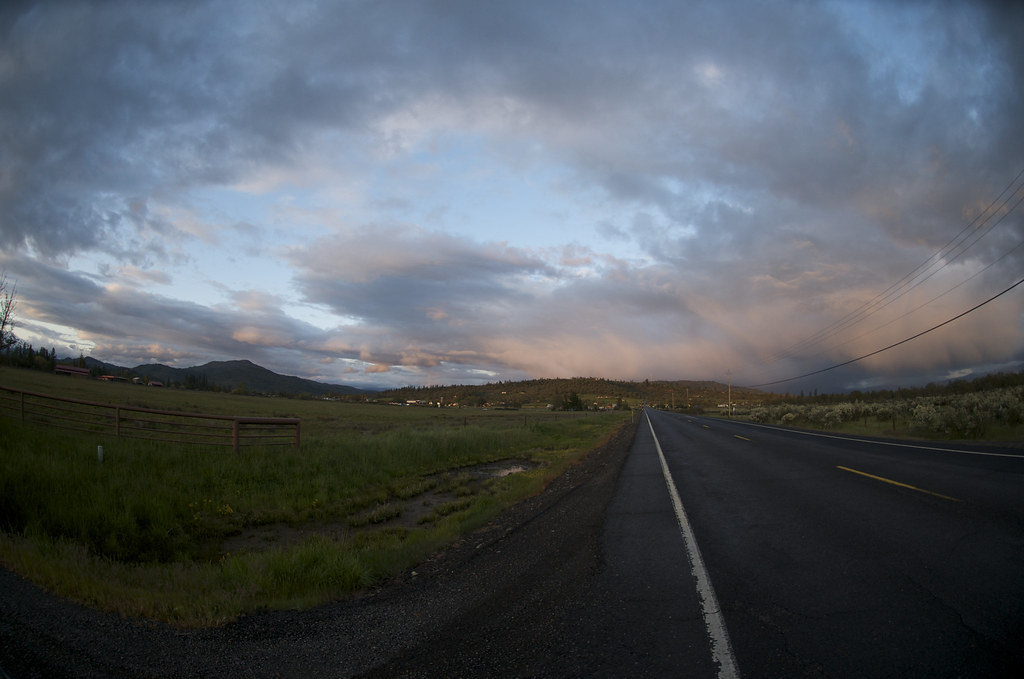
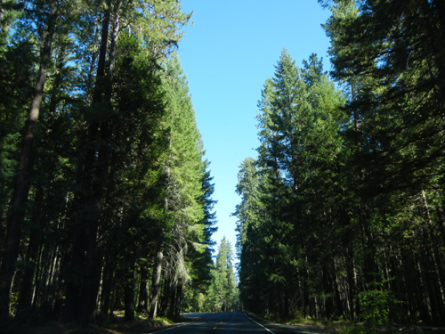
Oregon Road
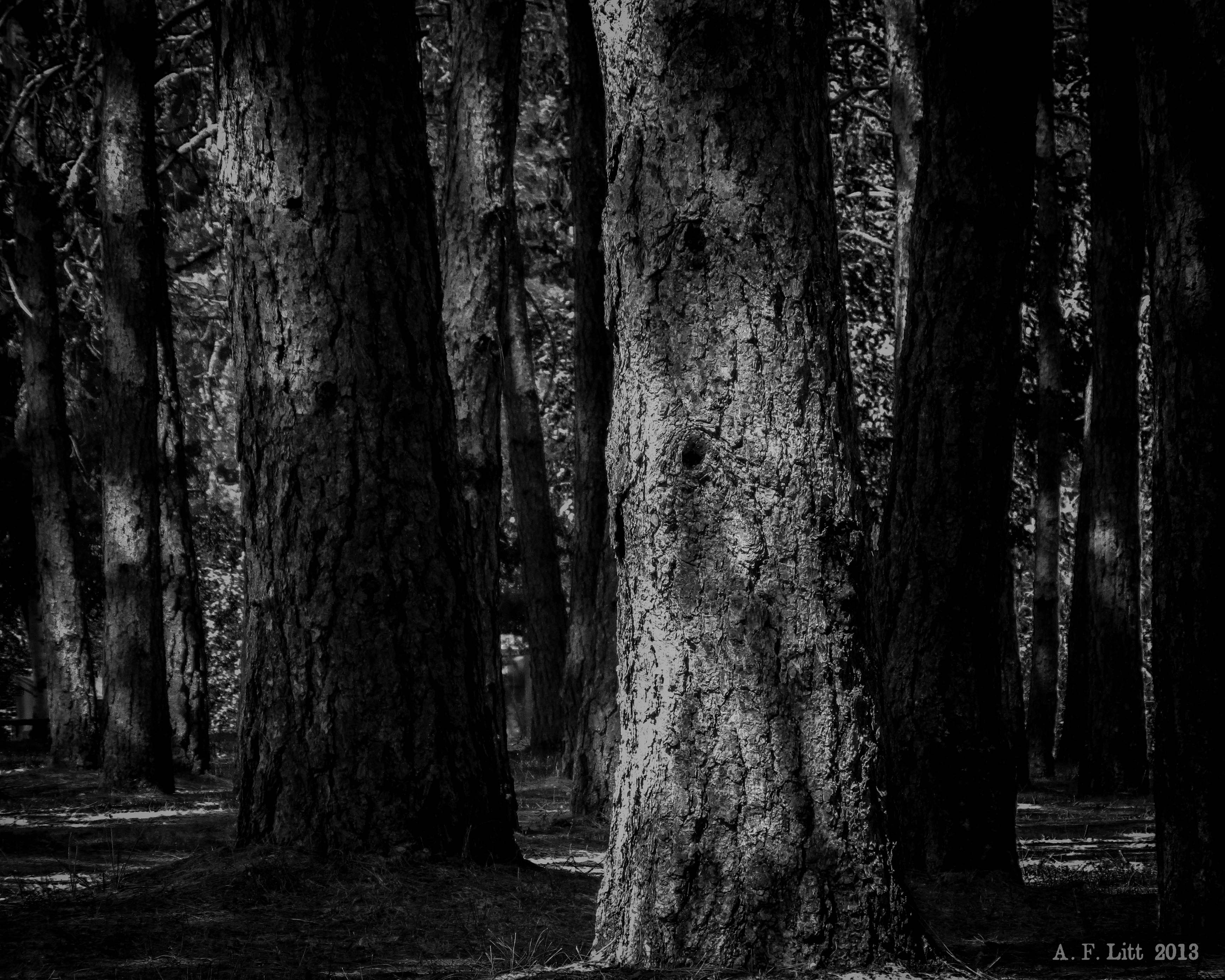
Trees & Shadows
Natural Bridge, The Rogue River, Oregon _ 6464
Natural Bridge, The Rogue River, Oregon _ 6469
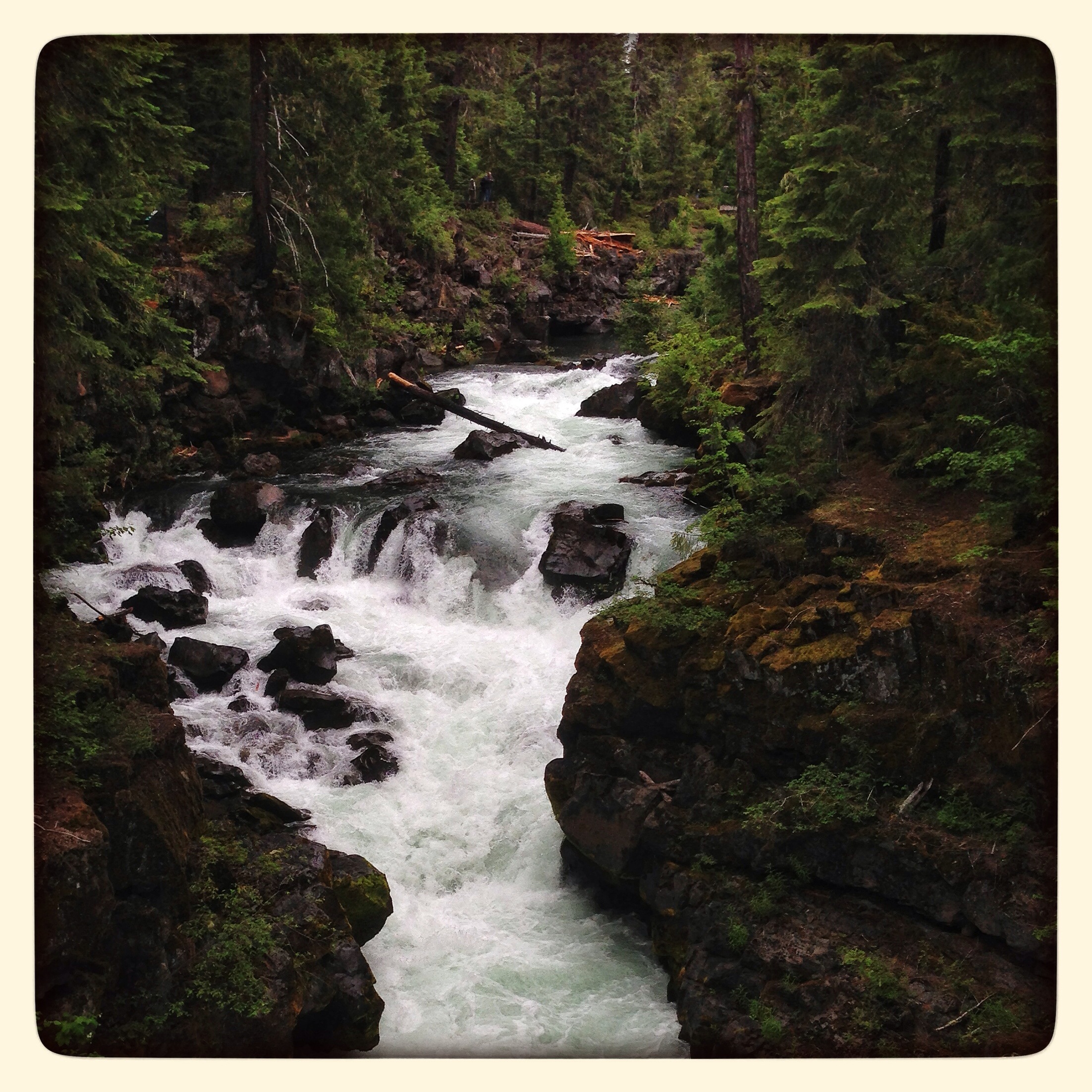
Rogue River at the Natural Bridge.
Natural Bridge, The Rogue River, Oregon _ 6490
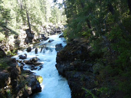
Natural Bridge, The Rogue River, Oregon _ 6465
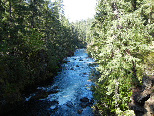
Natural Bridge, The Rogue River, Oregon _ 6531
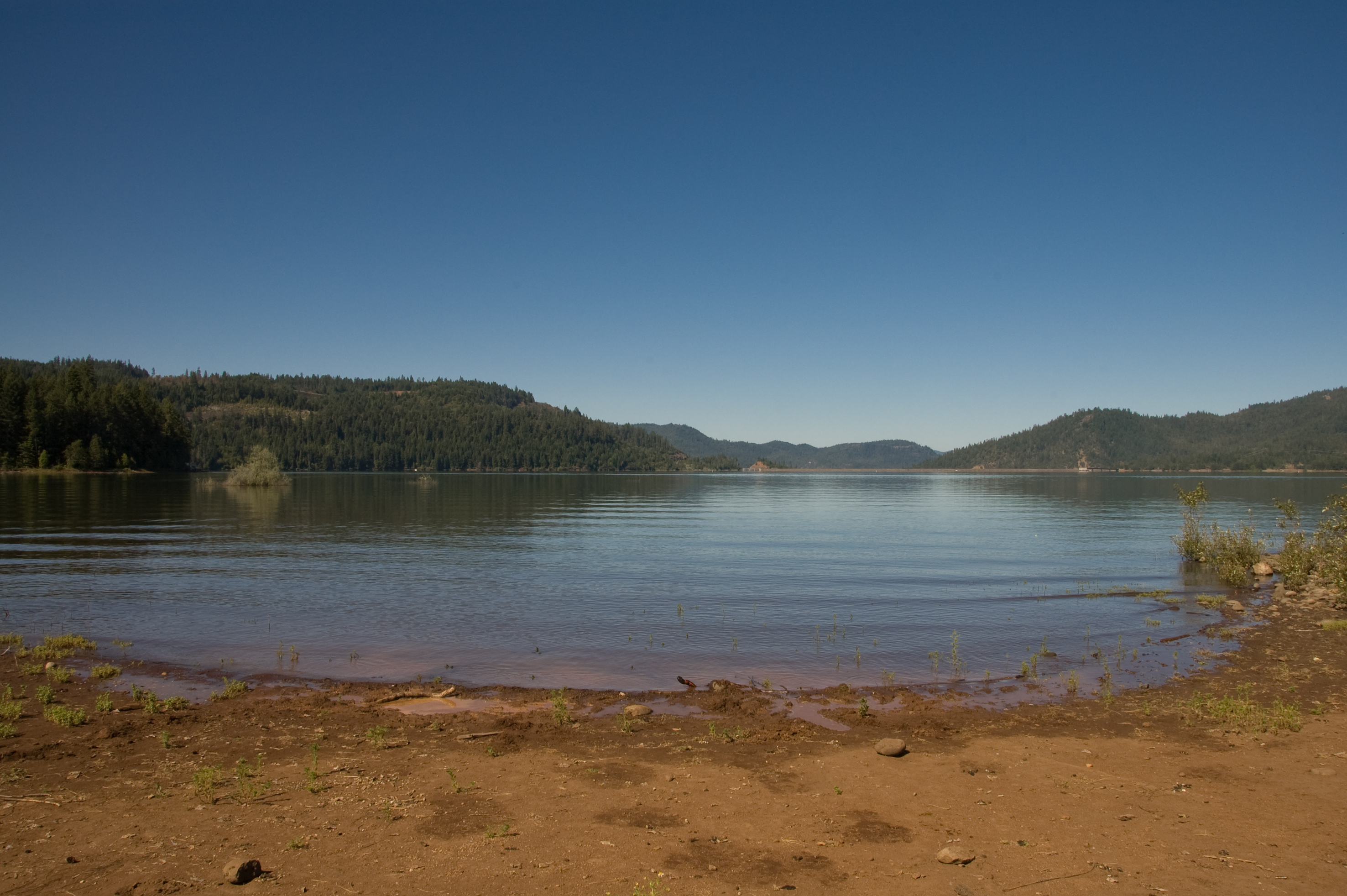
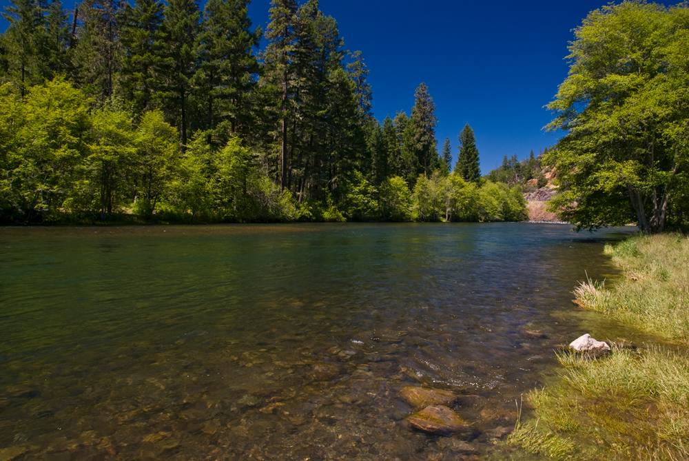
Lost Creek Lake
Topographic Map of Old Hwy 62, Trail, OR, USA
Find elevation by address:

Places near Old Hwy 62, Trail, OR, USA:
Trail
Shady Cove
424 Old Ferry Rd
Old Ferry Rd, Shady Cove, OR, USA
120 Firehouse Ln
20055 Or-62
342 E Trail Creek Rd
214 Hammel Rd
50 Butte Falls Hwy
Hannah Drive
300 Redwing Dr
Takelma Dr, Trail, OR, USA
3055 Butte Falls Hwy
3055 Butte Falls Hwy
800 Crowfoot Rd
1008 Lexington Dr
2387 Brophy Rd
251 Northview Dr
979 Win Way
1404 Brownsboro-eagle Point Hwy
Recent Searches:
- Elevation of Corso Fratelli Cairoli, 35, Macerata MC, Italy
- Elevation of Tallevast Rd, Sarasota, FL, USA
- Elevation of 4th St E, Sonoma, CA, USA
- Elevation of Black Hollow Rd, Pennsdale, PA, USA
- Elevation of Oakland Ave, Williamsport, PA, USA
- Elevation of Pedrógão Grande, Portugal
- Elevation of Klee Dr, Martinsburg, WV, USA
- Elevation of Via Roma, Pieranica CR, Italy
- Elevation of Tavkvetili Mountain, Georgia
- Elevation of Hartfords Bluff Cir, Mt Pleasant, SC, USA