Elevation of Redwing Dr, Eagle Point, OR, USA
Location: United States > Oregon > Eagle Point >
Longitude: -122.87343
Latitude: 42.5478359
Elevation: 474m / 1555feet
Barometric Pressure: 96KPa
Elevation Map:
Satellite Map:
Related Photos:

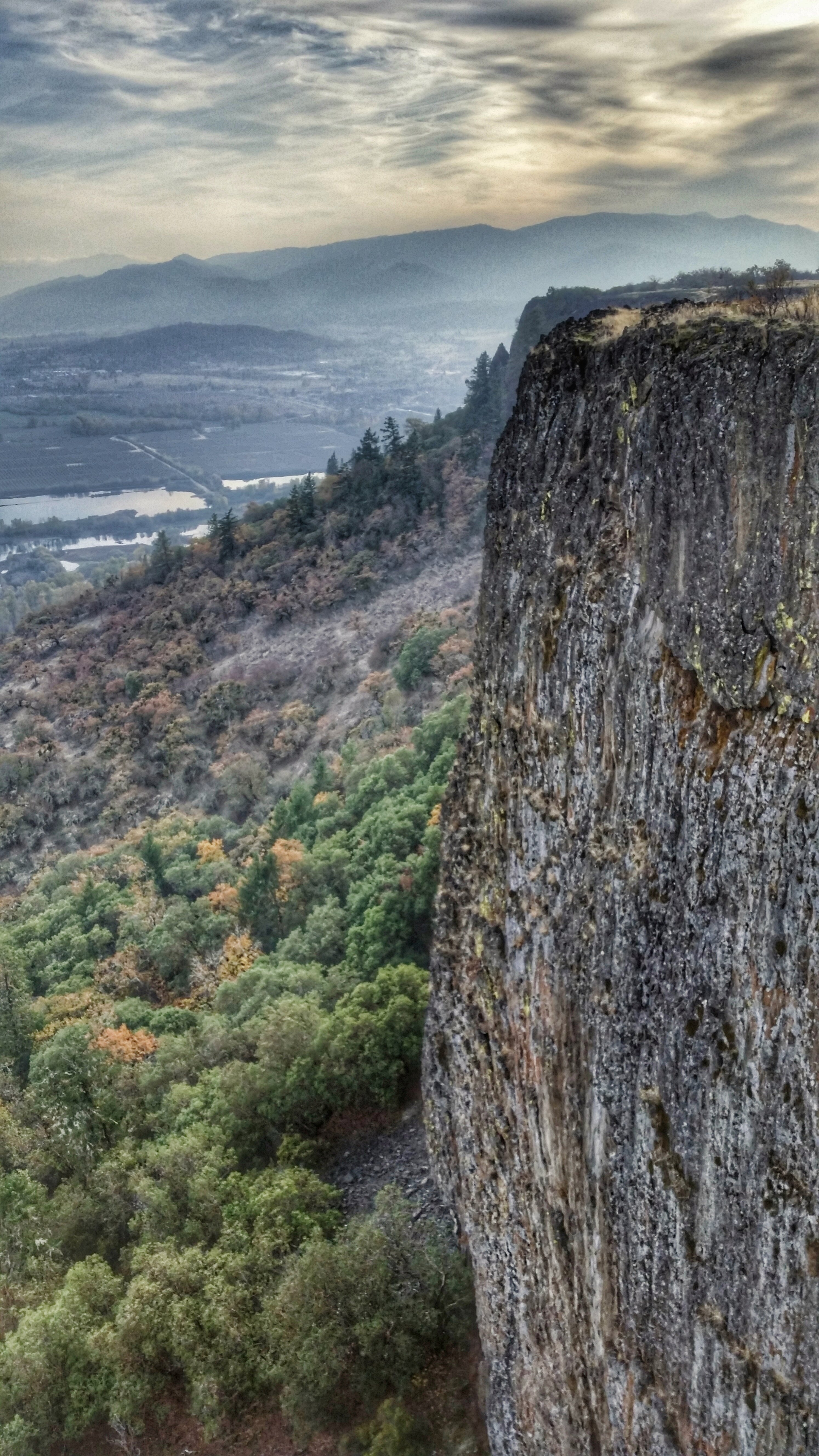
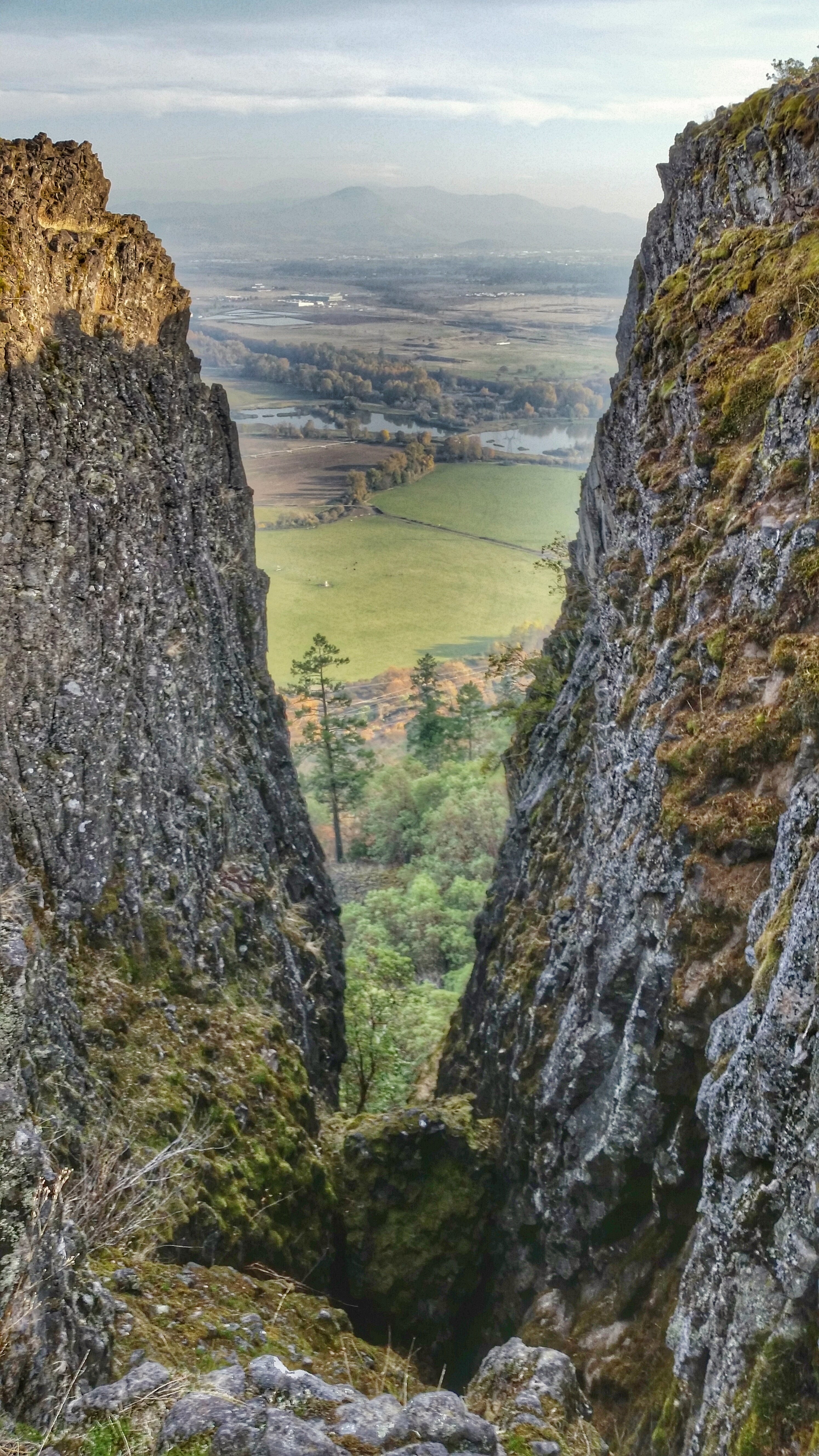
View from Tablerock

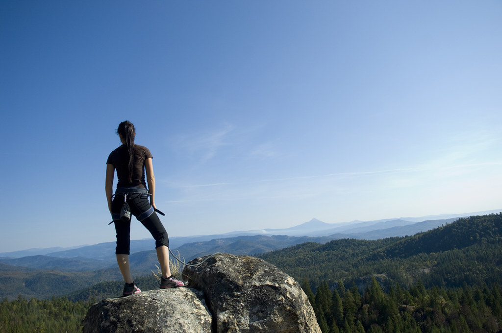
Pretty Young Woman on Cliff

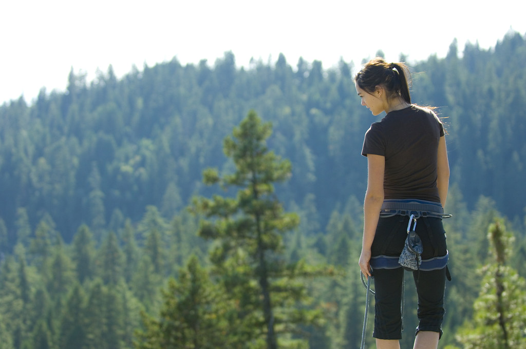
Pretty Young Woman on Cliff
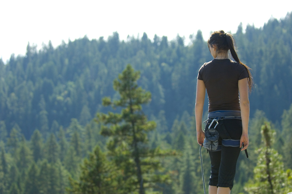
Pretty Young Woman on Cliff
Pretty Young Woman on Cliff
Pretty Young Woman on Cliff

I love the view from my house! ????

Harnessing the sun

View of Medford Oregon from Upper Table Rock, looking South.

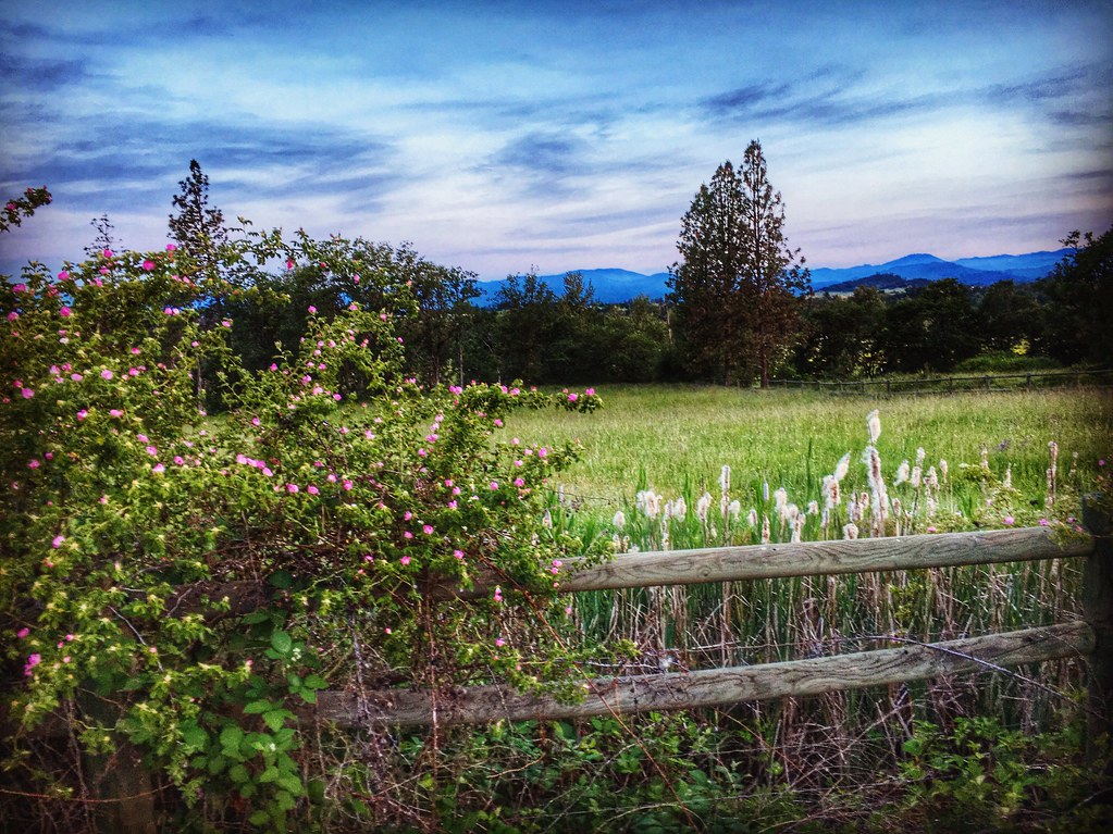
Love the view up here.
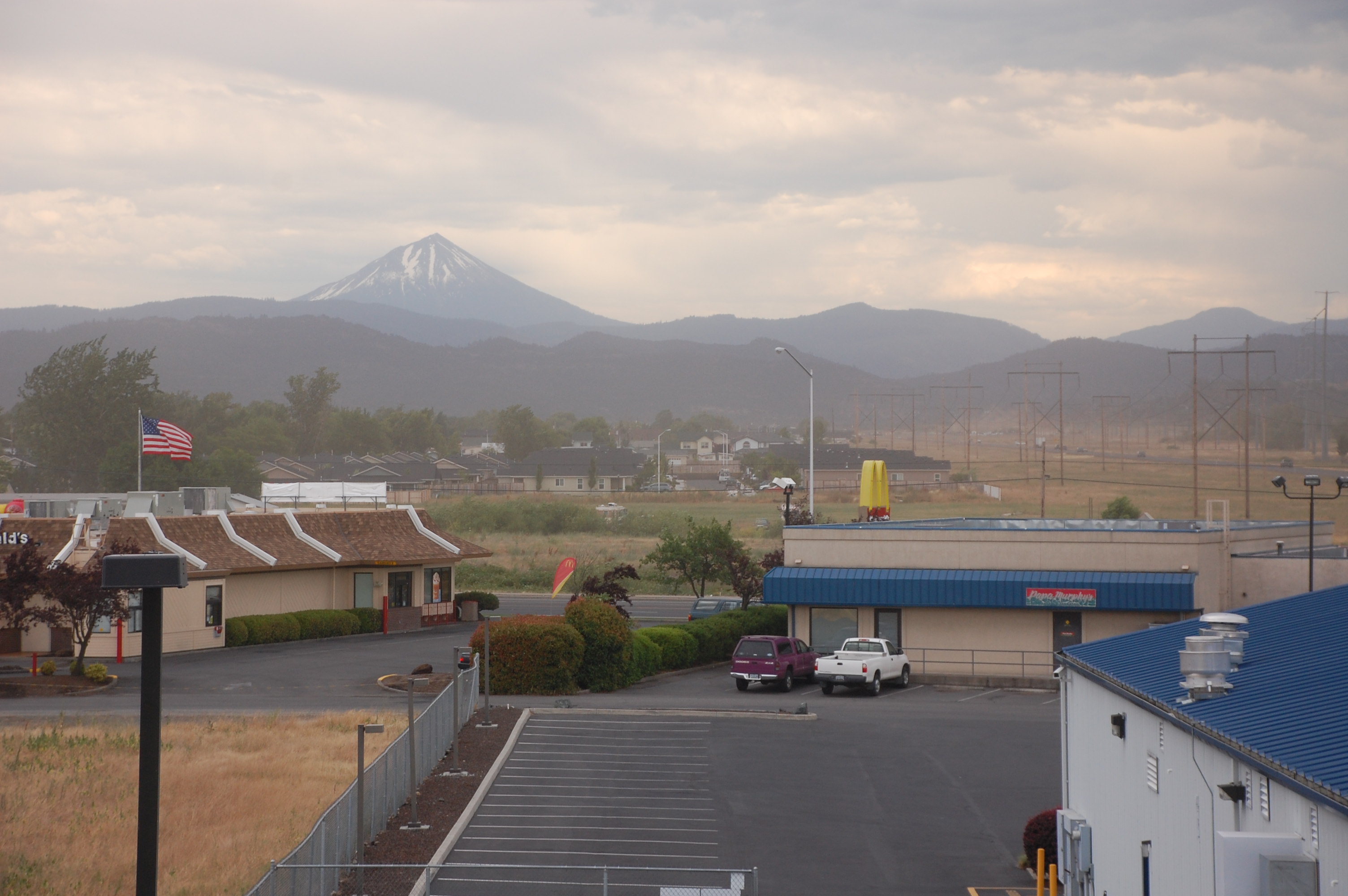
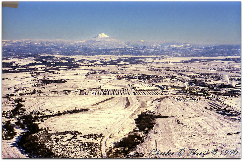
View from White City OR Motel of Mt McLoughlin
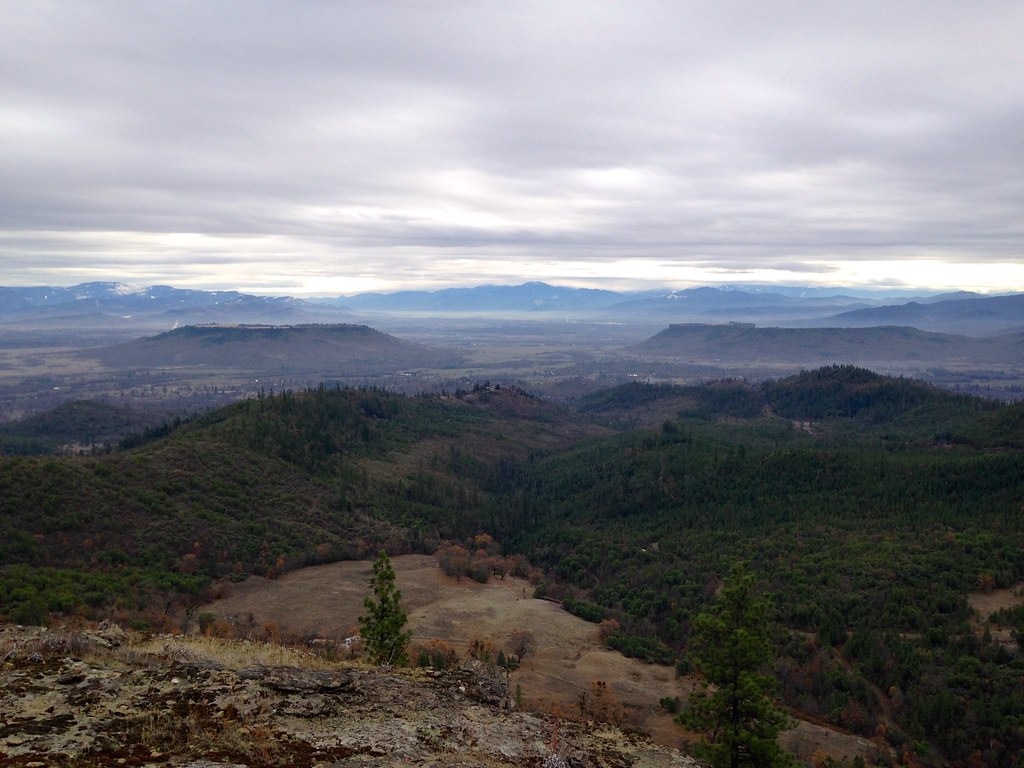
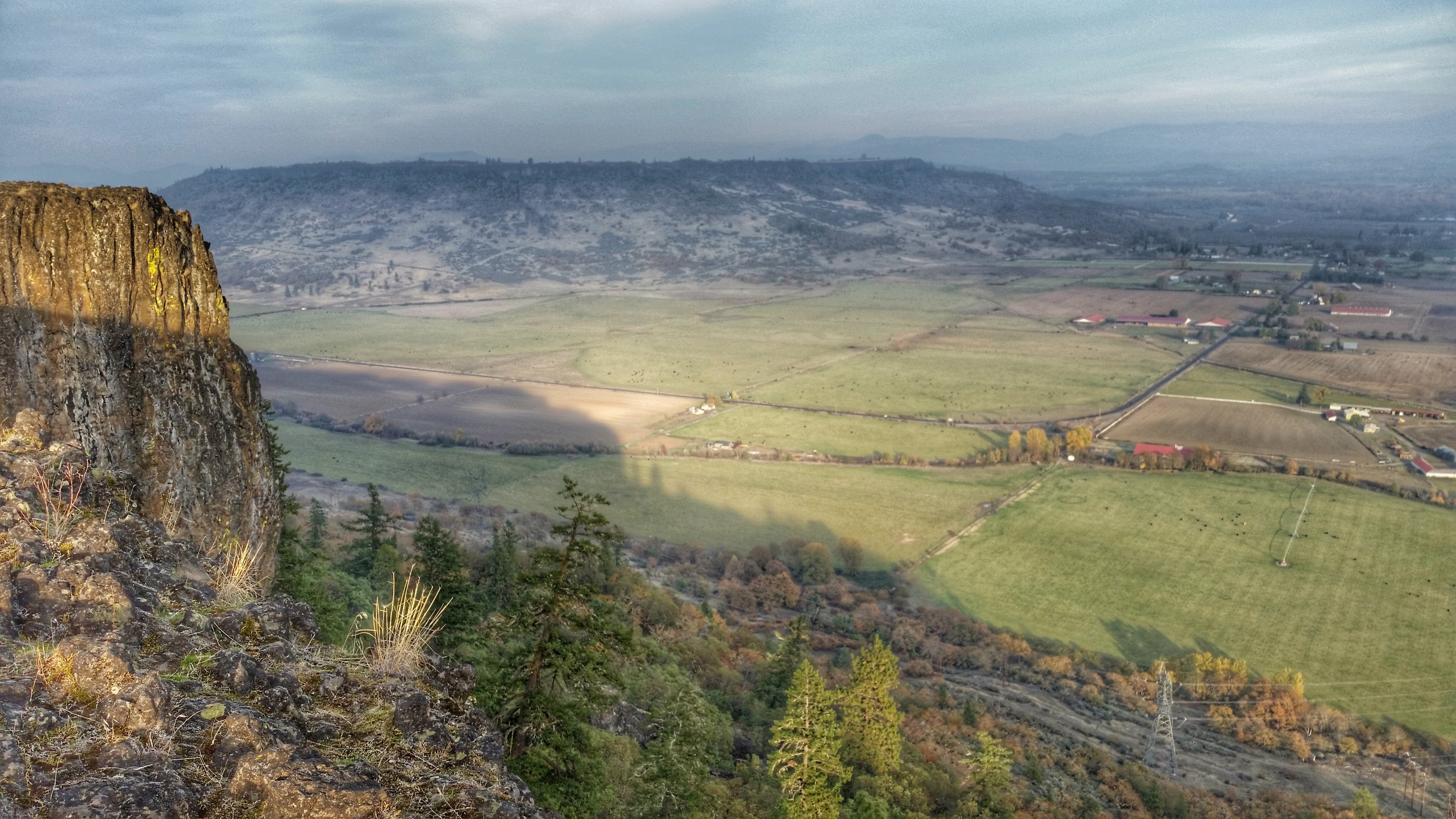
Table Rocks
Mount McLoughlin

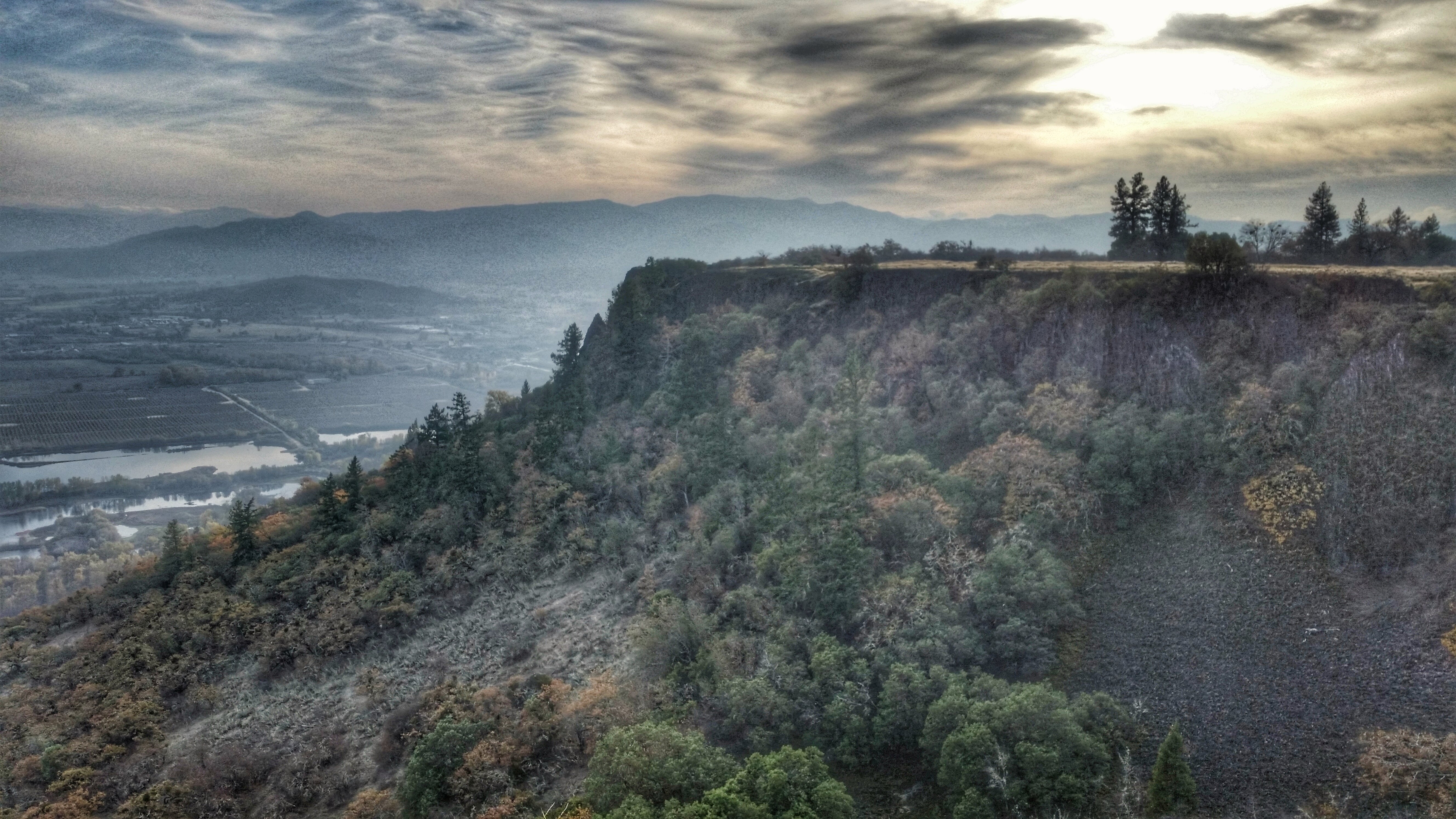
Table Rock

Hiking Upper Table Rock

Roundup: JB Dimick readies cows and calves for new pasture. Eagle Point, Oregon 5:14 p.m. 5/11/16
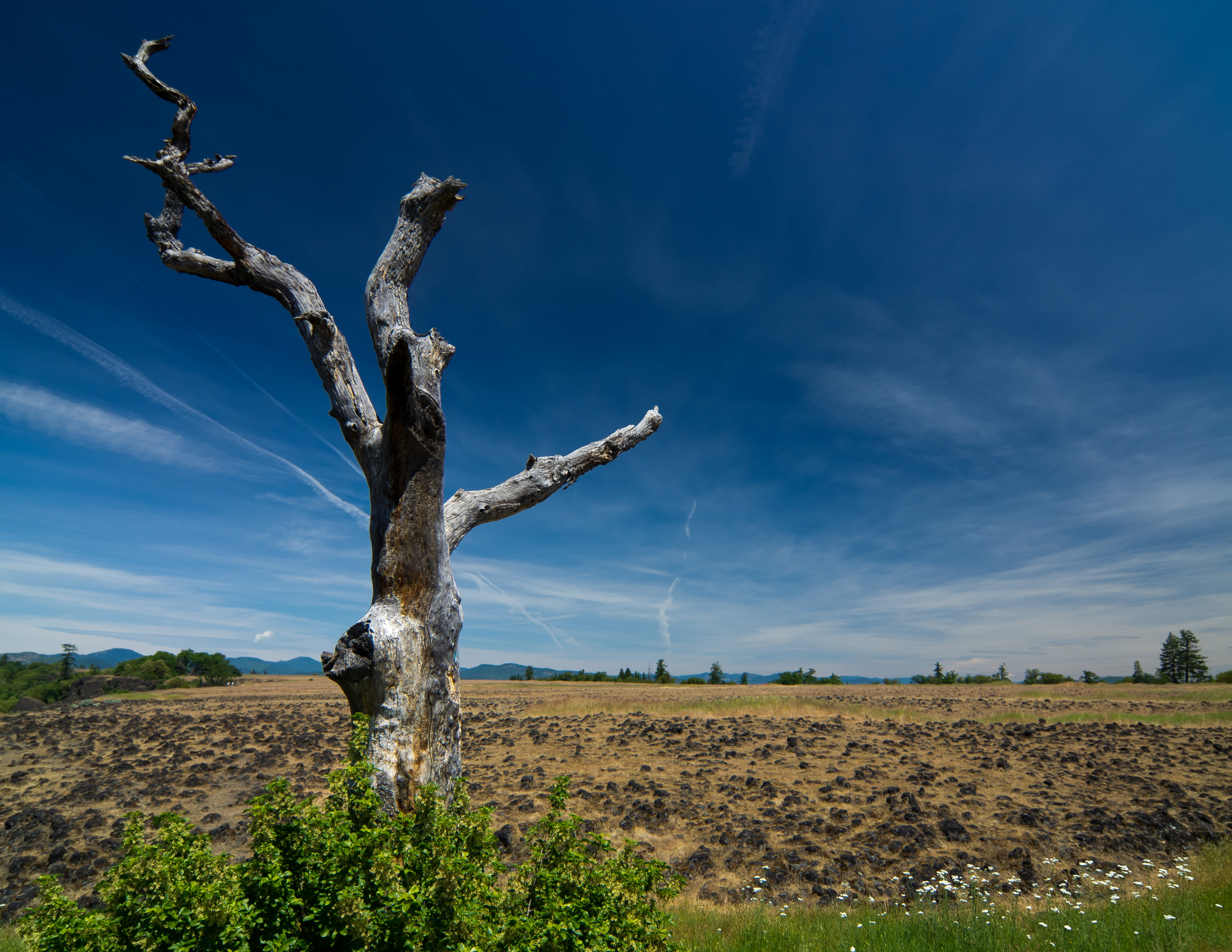
sentinel of wide open spaces
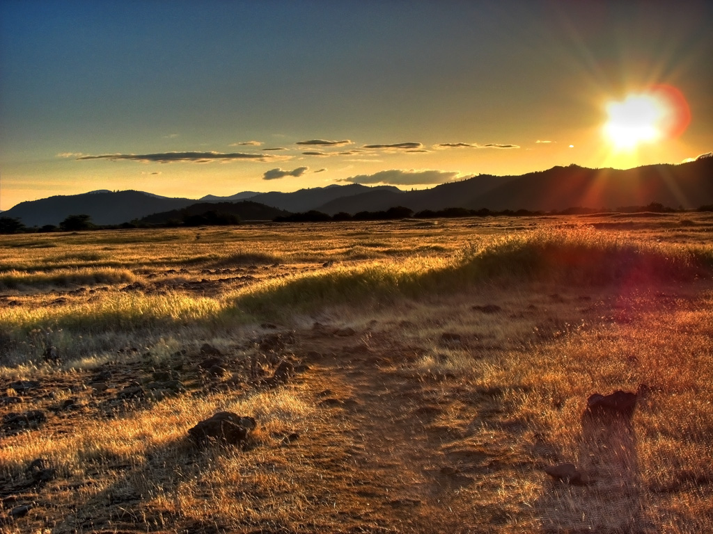
Golden Hue

Hiking Lower Table Rock
Hiking Lower Table Rock
Hiking Lower Table Rock
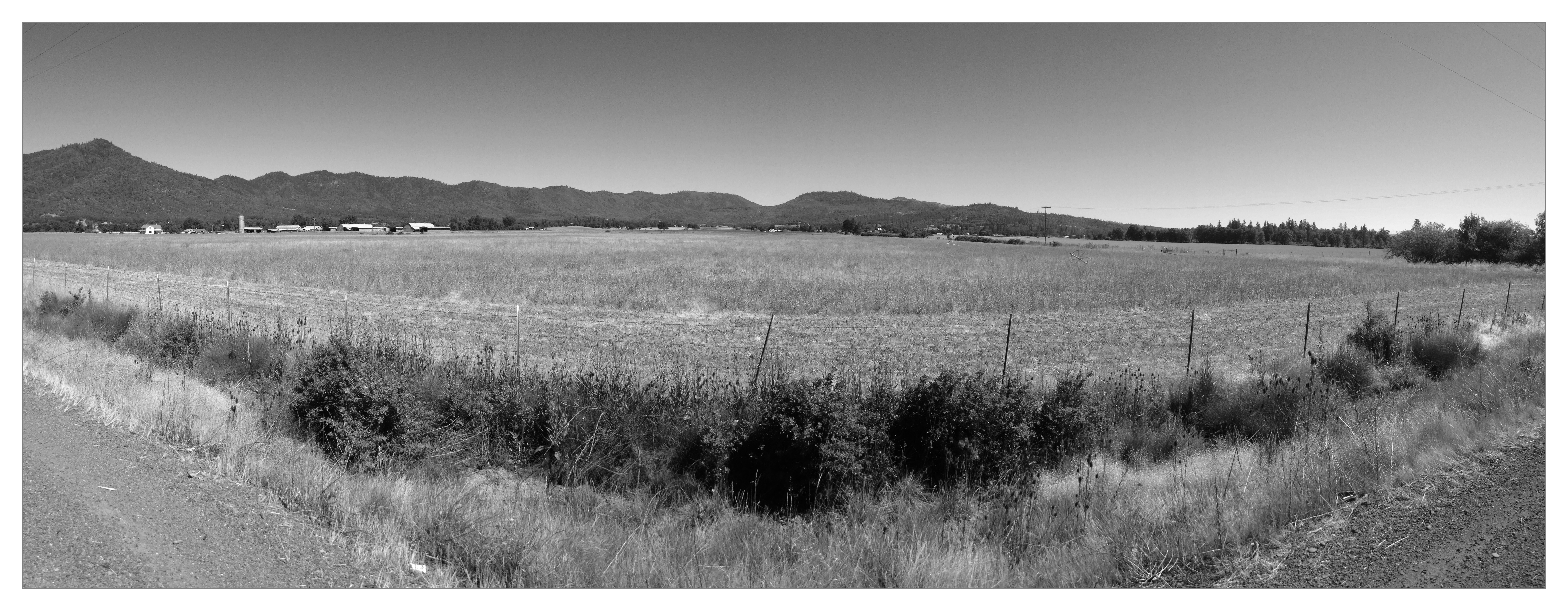
Rogue Valley Roadside, Eagle Point Oregon 5:51 a.m. 5/13/16
Hiking Lower Table Rock
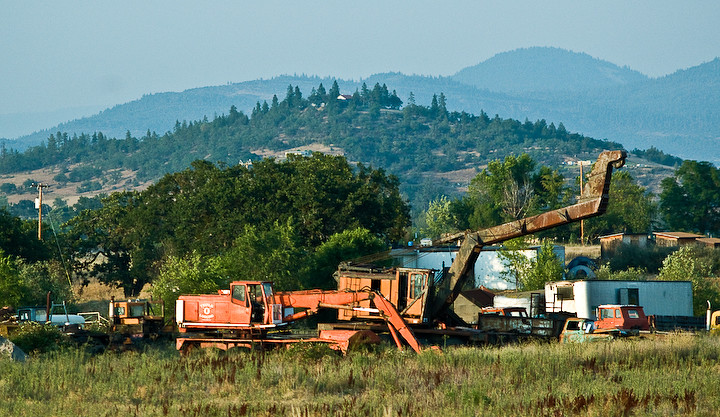
Logging Equipment 4
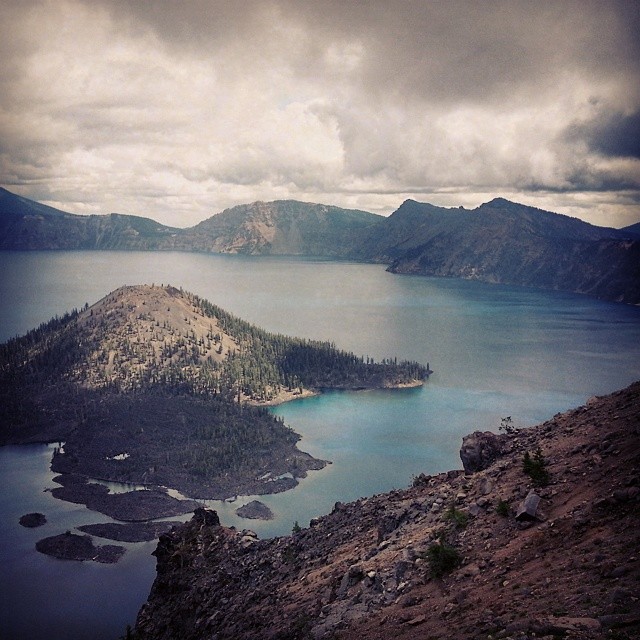
Spent a #cloudy and #cool day up at #CraterLake today with my babe @def_eya. #roadtrip #Oregon #oregonexplored #SouthernOregon #NationalPark #bluewaters #volcano #caldera #island
Rogue Valley Oregon
Hiking Lower Table Rock
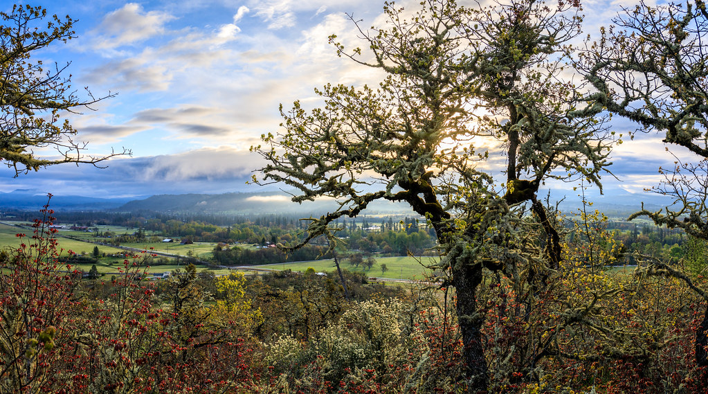
Southern Oregon
Topographic Map of Redwing Dr, Eagle Point, OR, USA
Find elevation by address:

Places near Redwing Dr, Eagle Point, OR, USA:
Hannah Drive
1008 Lexington Dr
214 Hammel Rd
50 Butte Falls Hwy
20055 Or-62
Upper Table Rock
120 Firehouse Ln
Old Ferry Rd, Shady Cove, OR, USA
Shady Cove
979 Win Way
251 Northview Dr
424 Old Ferry Rd
Eagle Point High School
Eagle Point
633 E Archwood Dr
17175 Ramsey Rd
227 Princeville Dr
288 Princeville Dr
1404 Brownsboro-eagle Point Hwy
Bellerive Drive
Recent Searches:
- Elevation of Corso Fratelli Cairoli, 35, Macerata MC, Italy
- Elevation of Tallevast Rd, Sarasota, FL, USA
- Elevation of 4th St E, Sonoma, CA, USA
- Elevation of Black Hollow Rd, Pennsdale, PA, USA
- Elevation of Oakland Ave, Williamsport, PA, USA
- Elevation of Pedrógão Grande, Portugal
- Elevation of Klee Dr, Martinsburg, WV, USA
- Elevation of Via Roma, Pieranica CR, Italy
- Elevation of Tavkvetili Mountain, Georgia
- Elevation of Hartfords Bluff Cir, Mt Pleasant, SC, USA