Elevation of Ojo Sarco, NM, USA
Location: United States > New Mexico >
Longitude: -105.78335
Latitude: 36.1225247
Elevation: 2257m / 7405feet
Barometric Pressure: 77KPa
Elevation Map:
Satellite Map:
Related Photos:

Cemetery with a Heavenly View

View of the Rio Grande Gorge from New Mexico State Road 68, south of Taos.

Best Fishing Spot in New Mexico

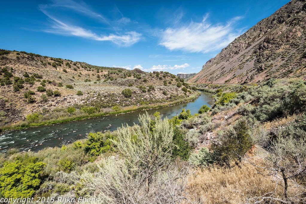
Rio Grande Gorge

Side View View

Las Trampas, New Mexico

Vivac View

View Above the Creek

Cross at San Jose de Garcia

"Belfries" and gallery

the north ridge above the refuge

another view from the northridge above the refuge

Catholic-Church--Rio-Chiquito, NM

Grave at San Jose de Garcia
High Road view 2018

Roadside View, Dixon, New Mexico

The Bridge

Bill G. Loyd Bells & Sculpture

Jeane George Weigel Studio

Rio Grande Pilar

Truchas Farmhouse Bed & Breakfast

The Rio Grande

Rio Grande Tilt Shift

Rio Grande Aerial

Waiting for Spring

northern Rio Grande
Rio Grande River, New Mexico USA

Bald Eagle Pair_0262

morning commute

High road to Taos

The Dome (Jicarita): Llano, New Mexico (NM)

Beautiful Rock No. 2

Rio Grande Reflections

Ice Jaw

Golden Autumn Afternoon

Rio Grande: Near Embudo, New Mexico (NM)

The Truchas Peaks

0U1A8054 Rio Grande on NM-68 near Pilar, NM
Topographic Map of Ojo Sarco, NM, USA
Find elevation by address:

Places in Ojo Sarco, NM, USA:
Places near Ojo Sarco, NM, USA:
Chamisal
Truchas
1719 Nm-75
Pueblo Road
Peñasco
Rodarte
21 Camino Del Vadito
United States Postal Service
54 Cam De Abajo, Vadito, NM, USA
112 Llano De La Yegua Rd
Vadito
Trampas Peak
Rockwall At Nm-75 & Nm-518
Two Gray Hares Disc Golf Course
Santa Barbara Campground
Comales Campground
4925 Nm-518
Jicarita Peak
Sipapu
Vadito, NM, USA
Recent Searches:
- Elevation of Corso Fratelli Cairoli, 35, Macerata MC, Italy
- Elevation of Tallevast Rd, Sarasota, FL, USA
- Elevation of 4th St E, Sonoma, CA, USA
- Elevation of Black Hollow Rd, Pennsdale, PA, USA
- Elevation of Oakland Ave, Williamsport, PA, USA
- Elevation of Pedrógão Grande, Portugal
- Elevation of Klee Dr, Martinsburg, WV, USA
- Elevation of Via Roma, Pieranica CR, Italy
- Elevation of Tavkvetili Mountain, Georgia
- Elevation of Hartfords Bluff Cir, Mt Pleasant, SC, USA