Elevation of 54 Cam De Abajo, Vadito, NM, USA
Location: United States > New Mexico > Taos County > Vadito >
Longitude: -105.65544
Latitude: 36.1297924
Elevation: 2503m / 8212feet
Barometric Pressure: 75KPa
Elevation Map:
Satellite Map:
Related Photos:
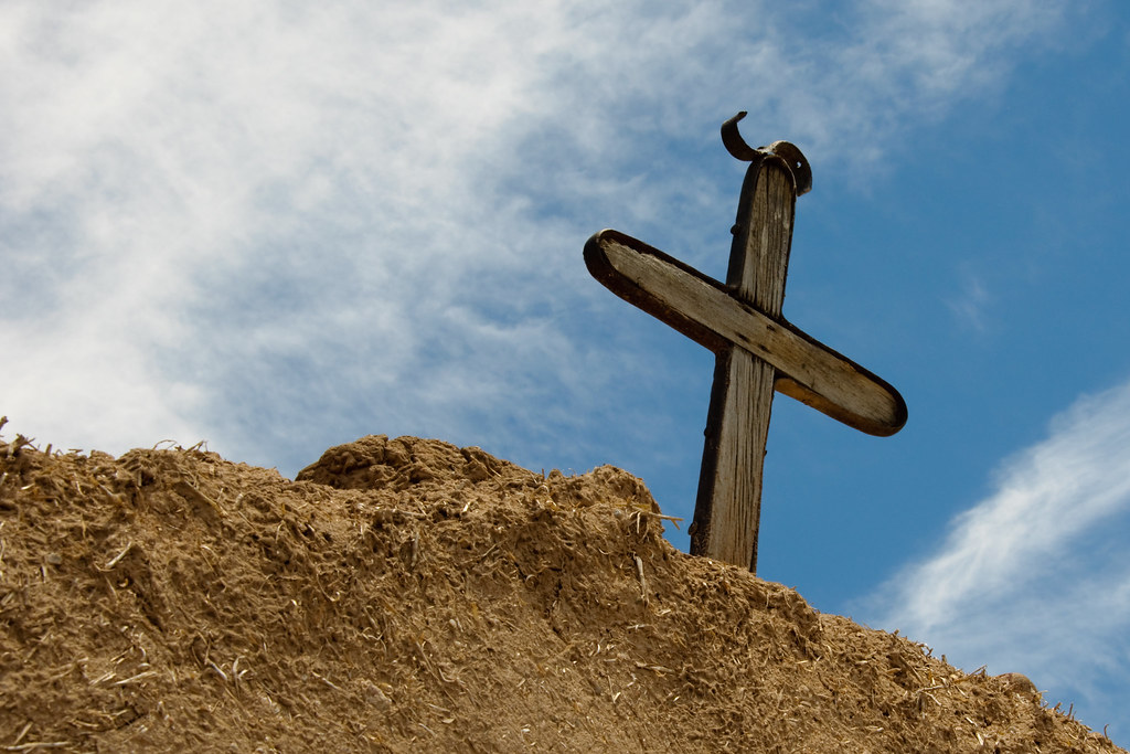
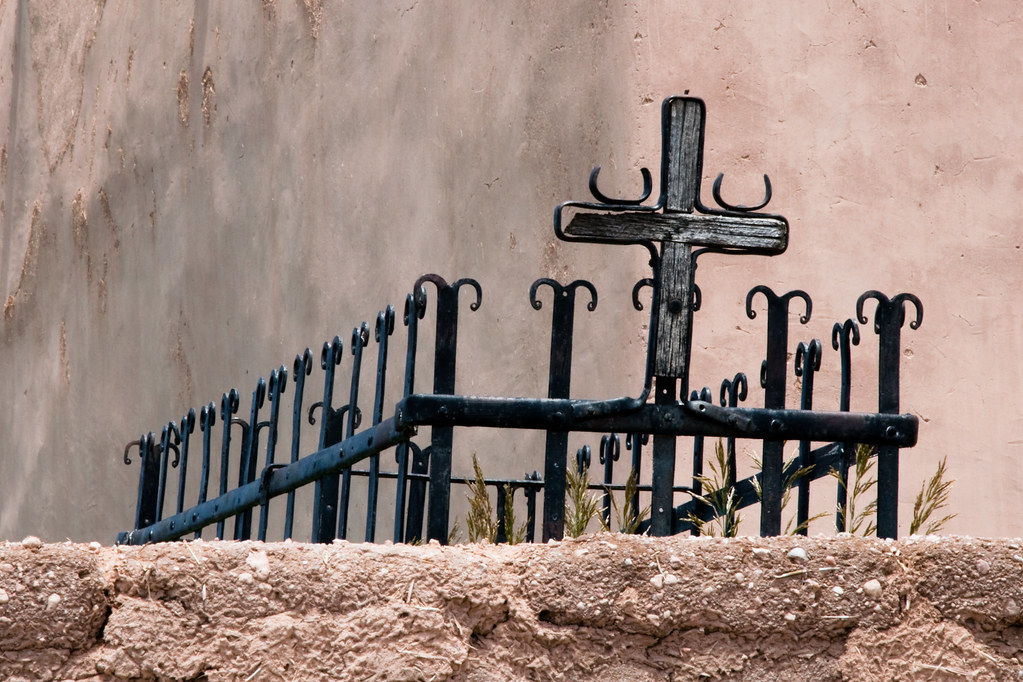
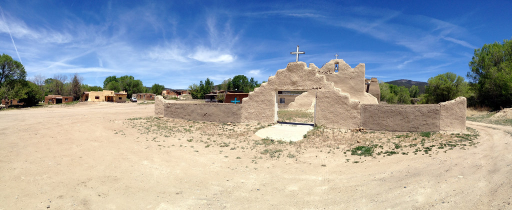
Cross at San Jose de Garcia
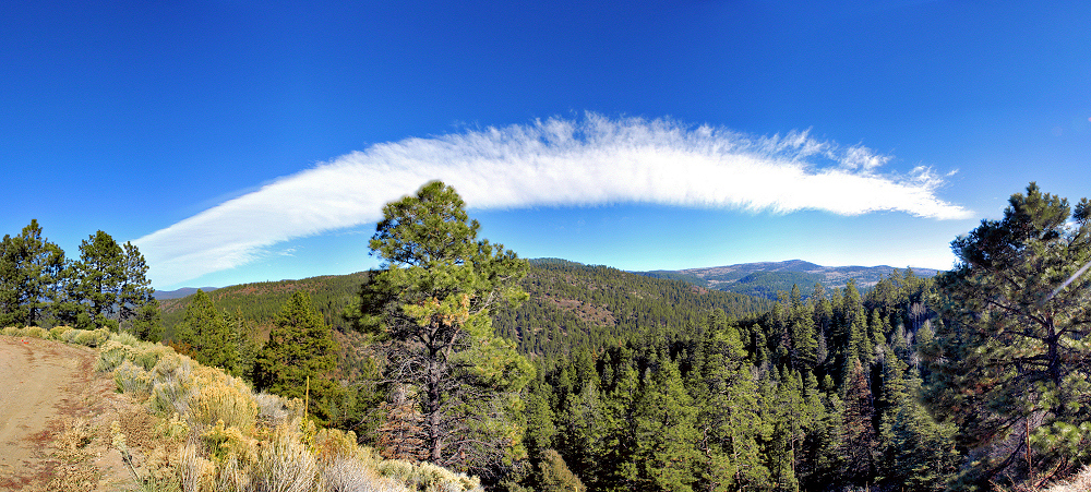
The Arch in the Sky
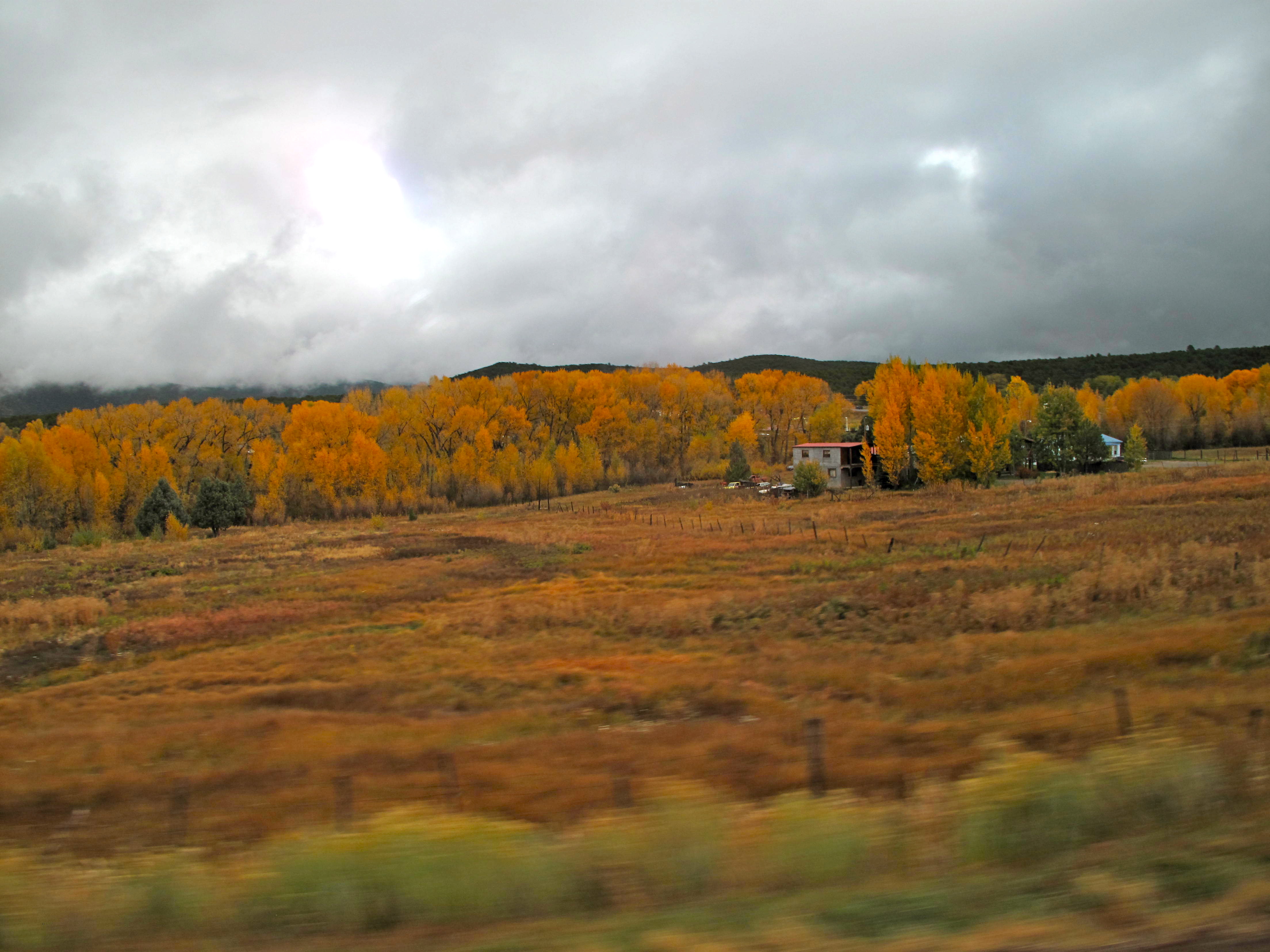
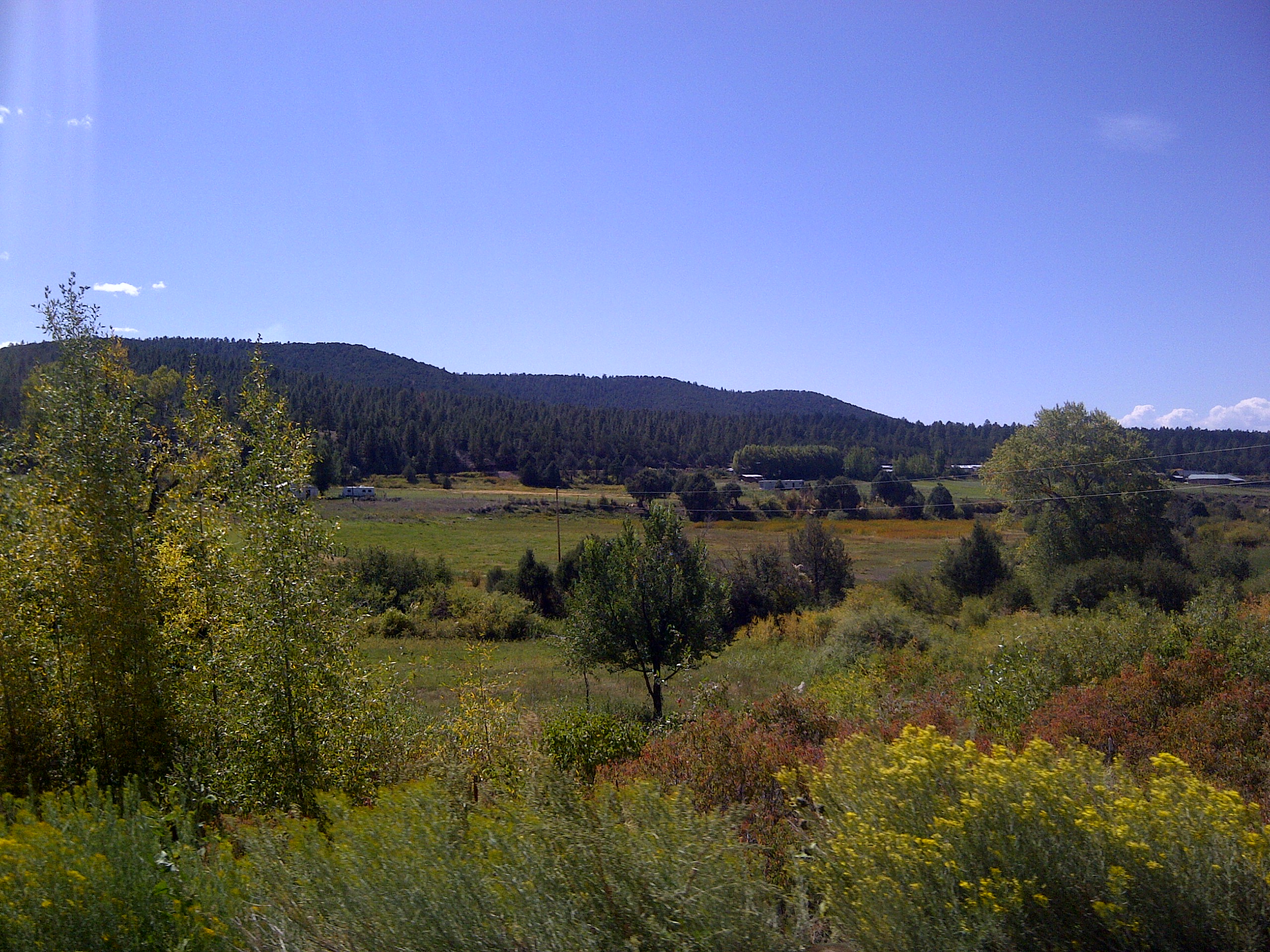
View from the Bus

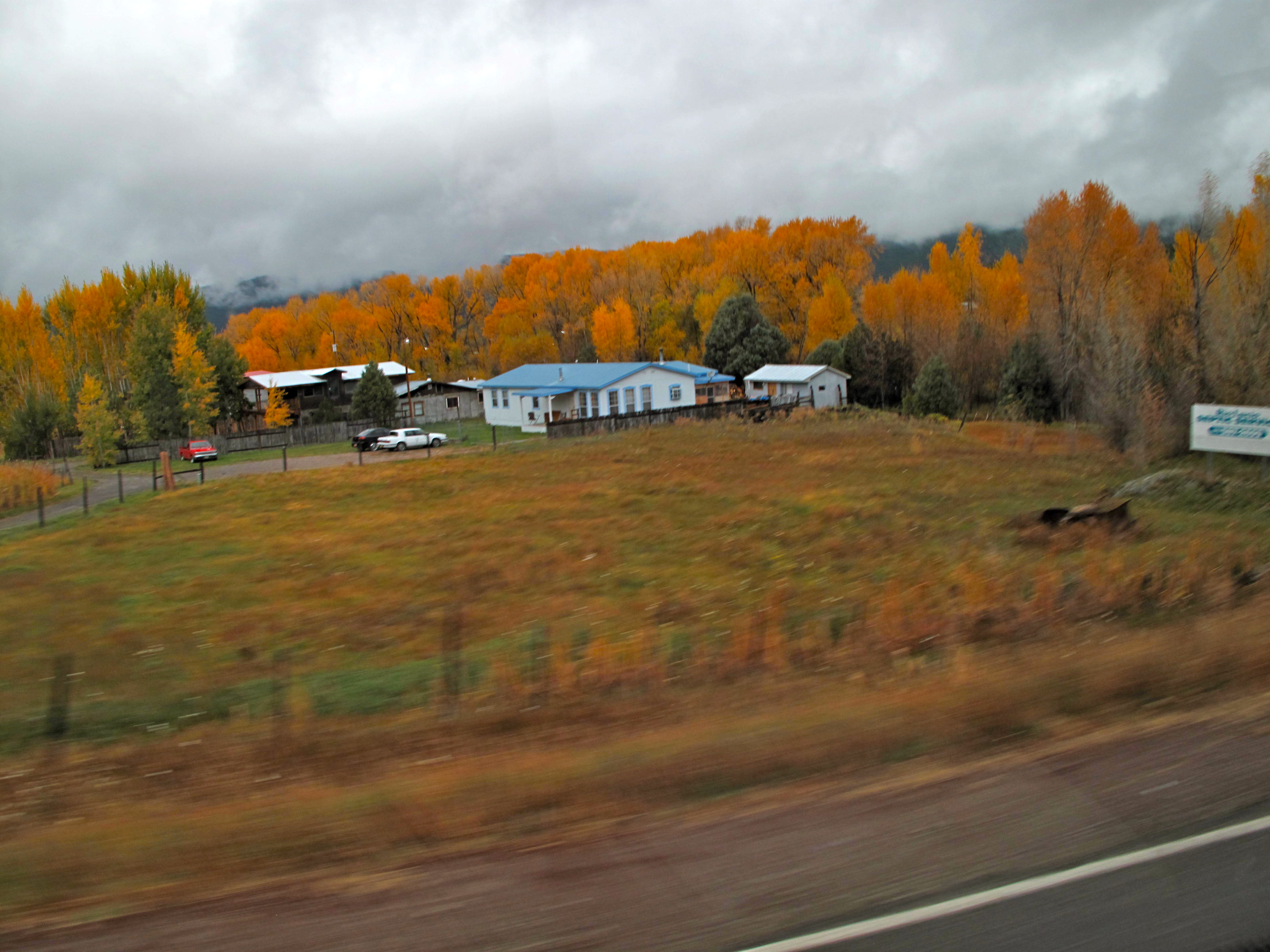
View from the Bus
View from the Bus
Grave at San Jose de Garcia

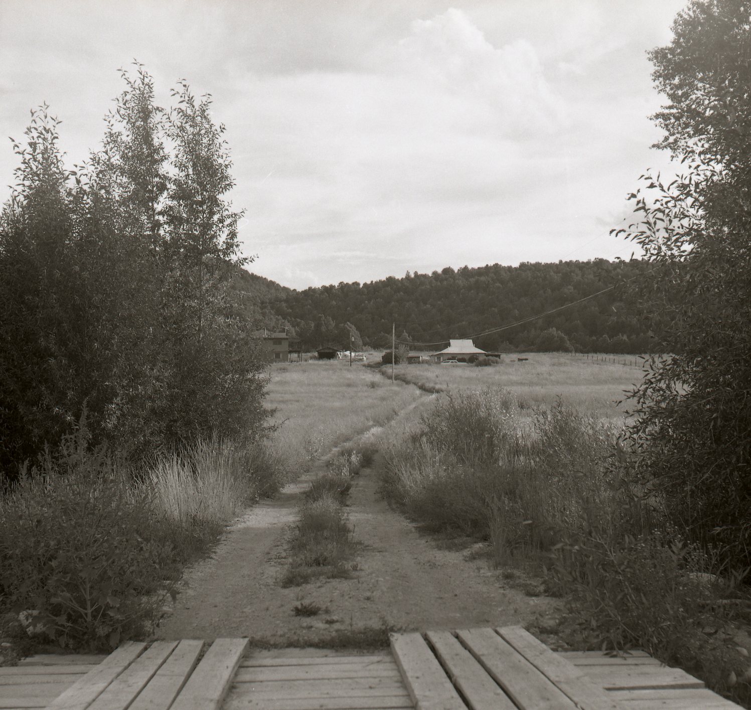
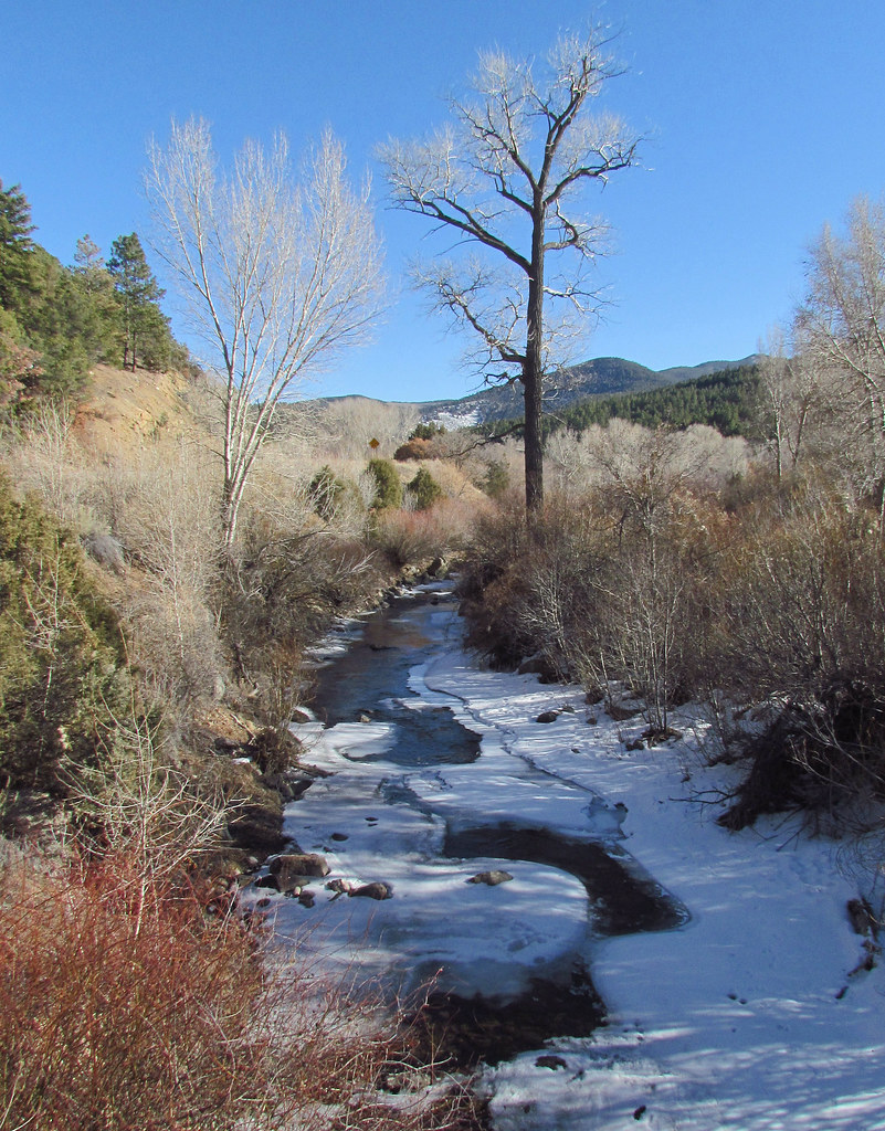
View Above the Creek

Studio Gallery

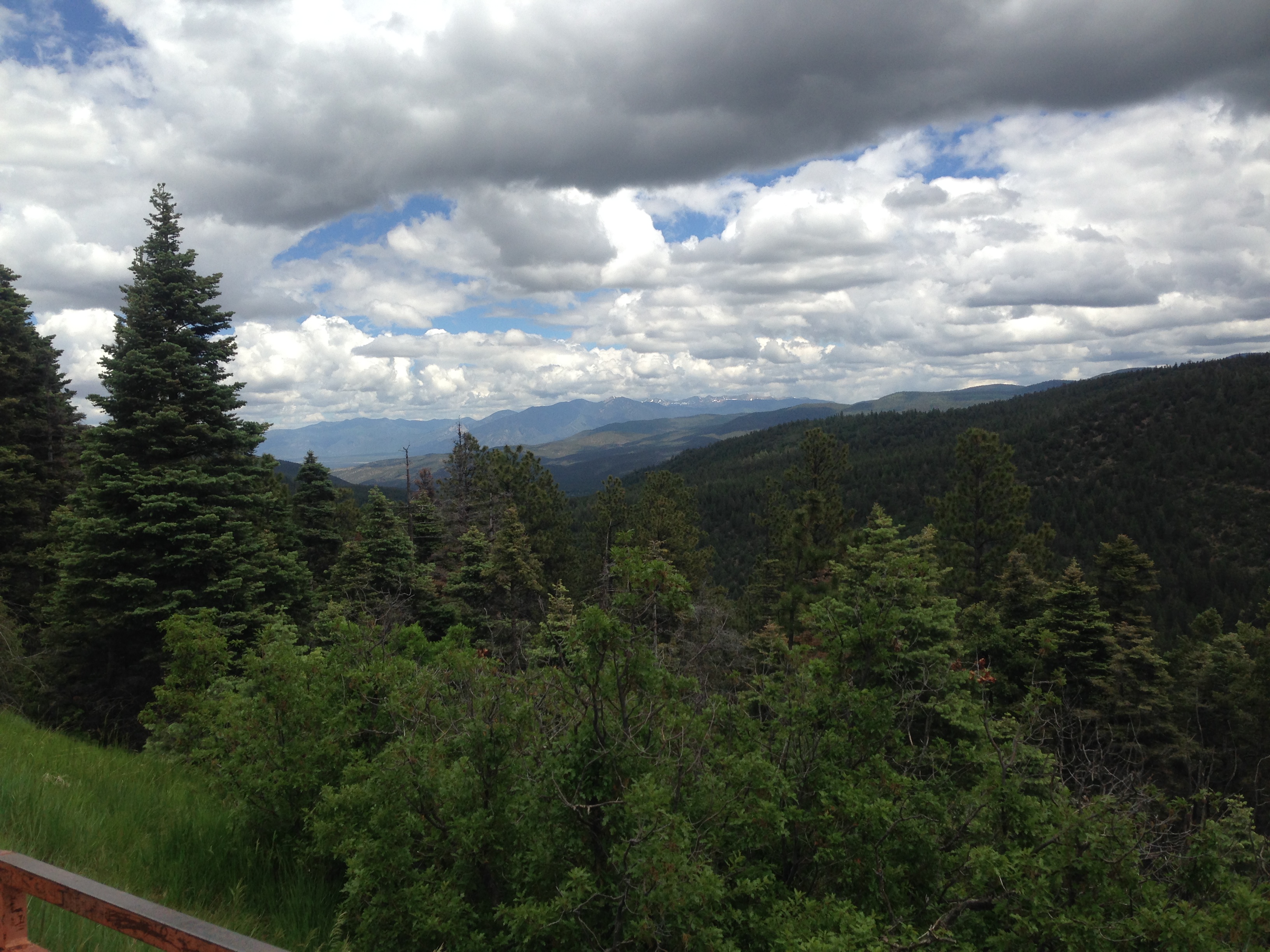
the north ridge above the refuge

Trampas Church 2

Trampas Church 1

another view from the northridge above the refuge

Sugar Nymphs
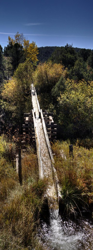
The Bridge
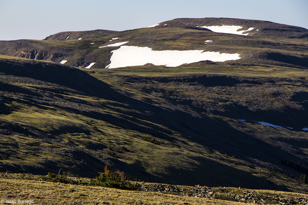
View from Santa Barbara Ridge. ca. 12800 feet. Taos Co., NM. 07.16.06 #3

View from Santa Barbara Ridge. ca. Taos Co., NM. 12800 feet. 07.16.06 #5
View from Santa Barbara Ridge. ca. 12800 feet. 07.16.06 #3 Taos Co., NM. (Serpent Lake)

View from Santa Barbara Ridge. ca. 12800 feet. 07.16.06 #3 Taos Co., NM. (Serpent Lake)
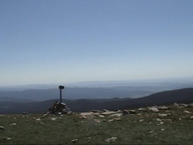
Hilltop view
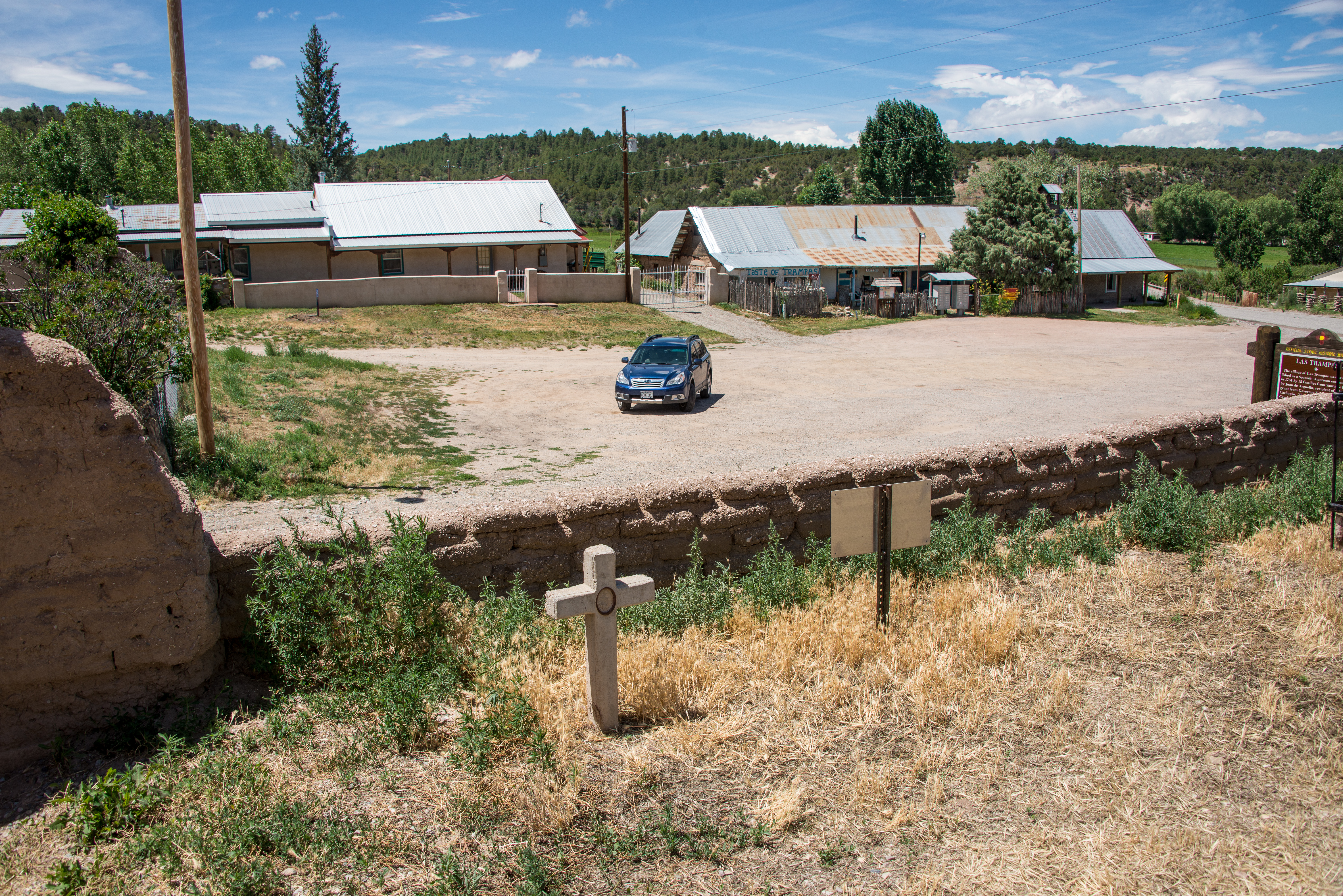
Las Trampas, New Mexico
Hilltop view
Indian Lake HDR
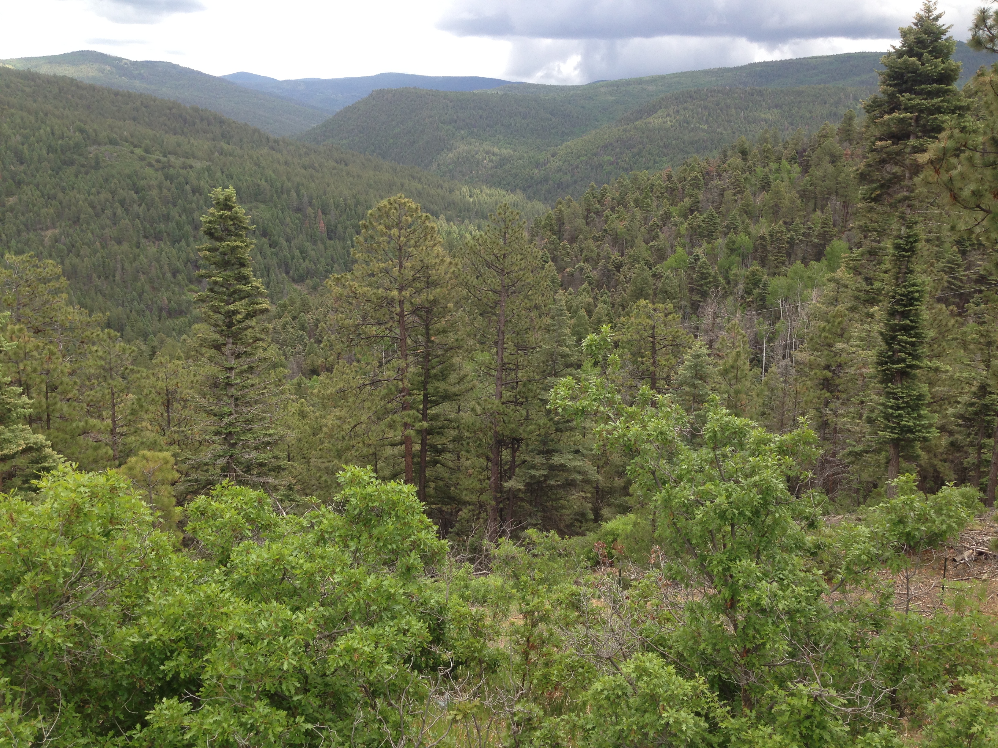
New Mexico High Country
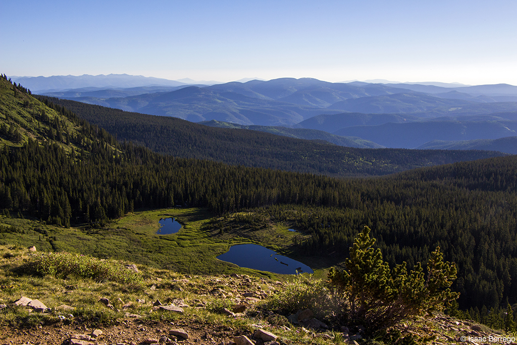
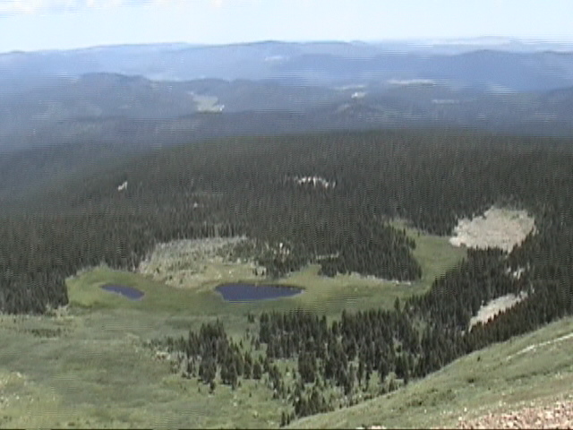
Above the Lakes
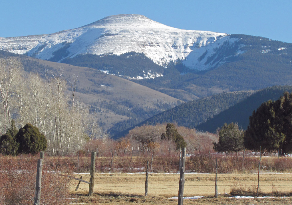
The Dome (Jicarita): Llano, New Mexico (NM)
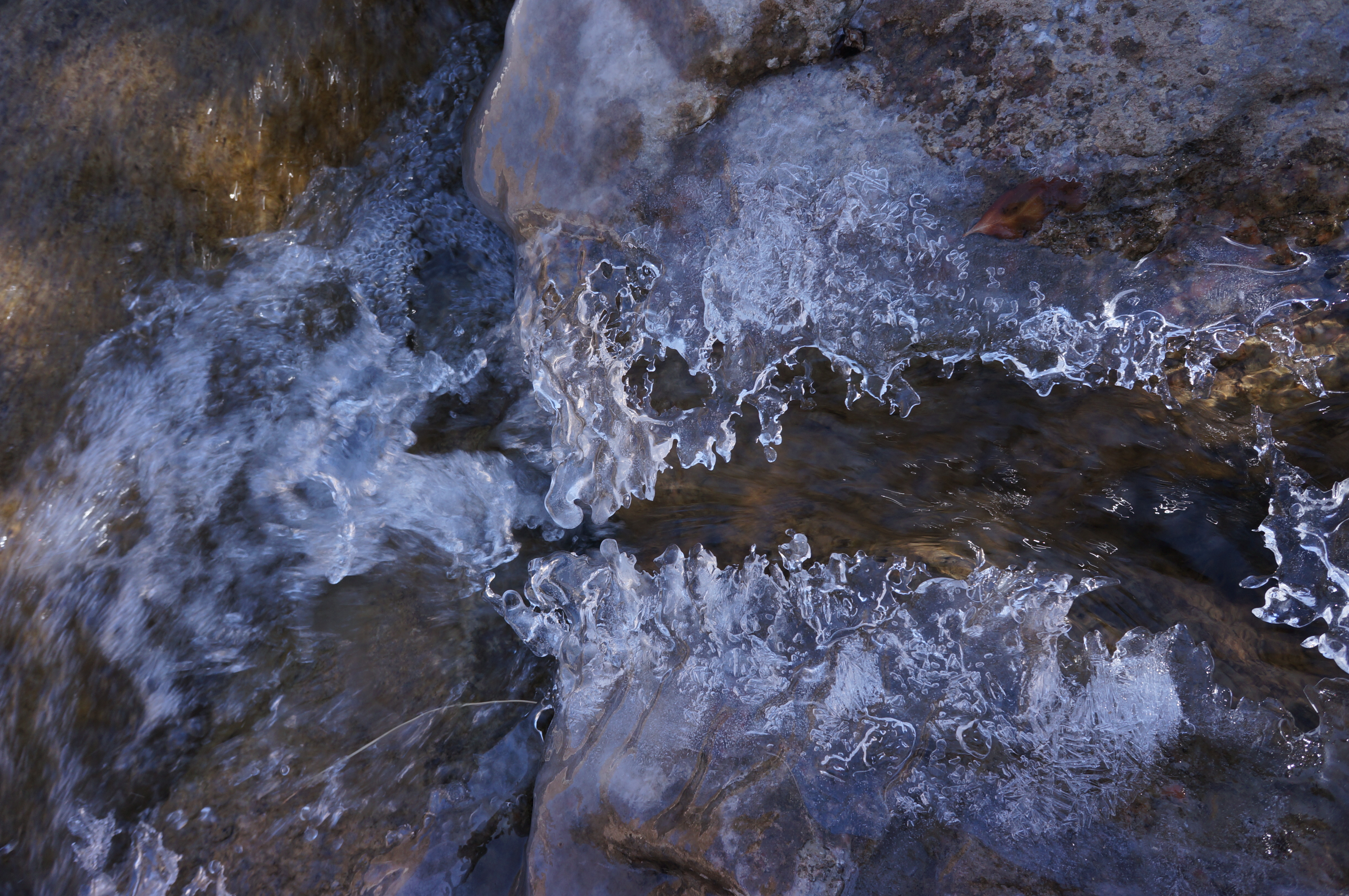
Ice Jaw
Rio Pueblo: East of Vadito, New Mexico (NM)

img_6927.jpg
San Lorenzo Church Picuris Pueblo Indian Reservation New Mexico Adobe Architecture Panorama Sangre Cristo Mountains IMG_8008
PECOSW_07-05-2012_063
Irrigation canal Los Trampas, NM
IMG-20110928-00127
20131019-_MG_3759

20131019-_MG_3771
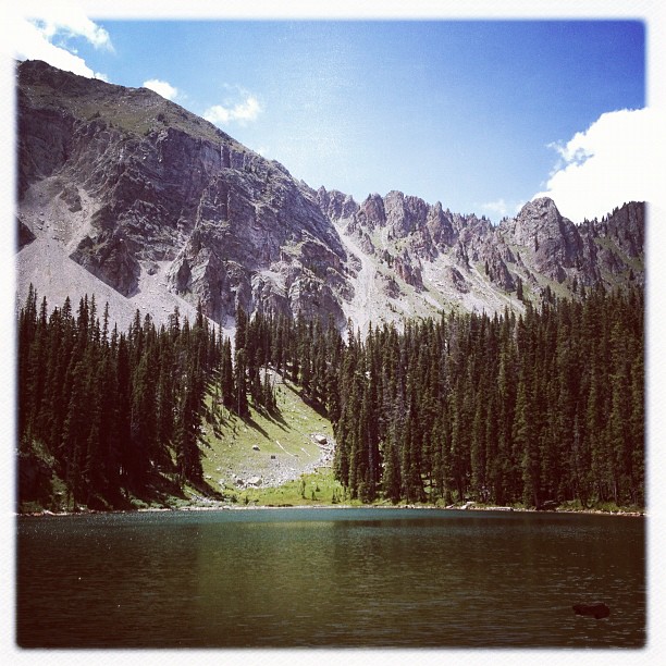
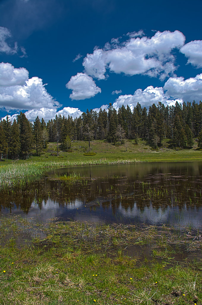
Trampas Lake

On the High Road to Taos
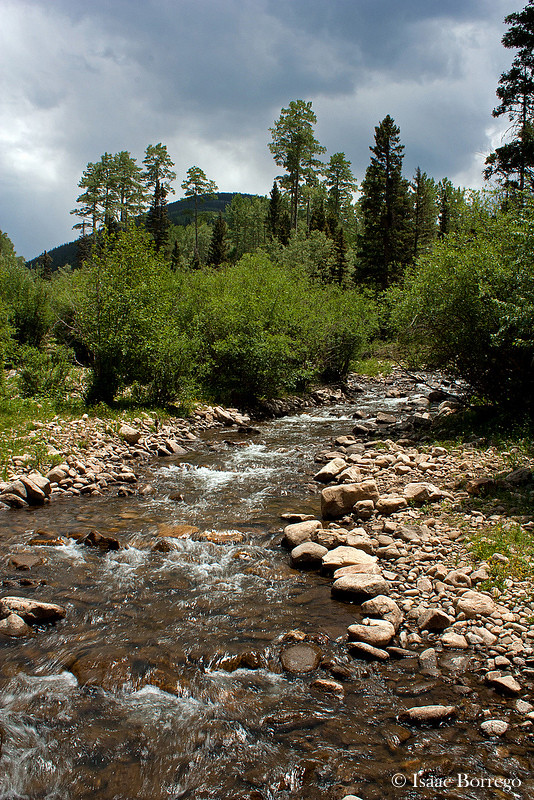
Rio Santa Barbara

Second lake

Trampas Lake
Topographic Map of 54 Cam De Abajo, Vadito, NM, USA
Find elevation by address:

Places near 54 Cam De Abajo, Vadito, NM, USA:
112 Llano De La Yegua Rd
Rodarte
Peñasco
Two Gray Hares Disc Golf Course
Rockwall At Nm-75 & Nm-518
United States Postal Service
Vadito
Santa Barbara Campground
21 Camino Del Vadito
Comales Campground
1719 Nm-75
4925 Nm-518
Pueblo Road
Chamisal
Trampas Peak
Sipapu
Vadito, NM, USA
Sipapu Ski & Summer Resort
Jicarita Peak
Ojo Sarco
Recent Searches:
- Elevation of Corso Fratelli Cairoli, 35, Macerata MC, Italy
- Elevation of Tallevast Rd, Sarasota, FL, USA
- Elevation of 4th St E, Sonoma, CA, USA
- Elevation of Black Hollow Rd, Pennsdale, PA, USA
- Elevation of Oakland Ave, Williamsport, PA, USA
- Elevation of Pedrógão Grande, Portugal
- Elevation of Klee Dr, Martinsburg, WV, USA
- Elevation of Via Roma, Pieranica CR, Italy
- Elevation of Tavkvetili Mountain, Georgia
- Elevation of Hartfords Bluff Cir, Mt Pleasant, SC, USA