Elevation of Trampas Peak, New Mexico, USA
Location: United States > New Mexico > Chamisal >
Longitude: -105.63279
Latitude: 36.038916
Elevation: 3641m / 11946feet
Barometric Pressure: 65KPa
Elevation Map:
Satellite Map:
Related Photos:

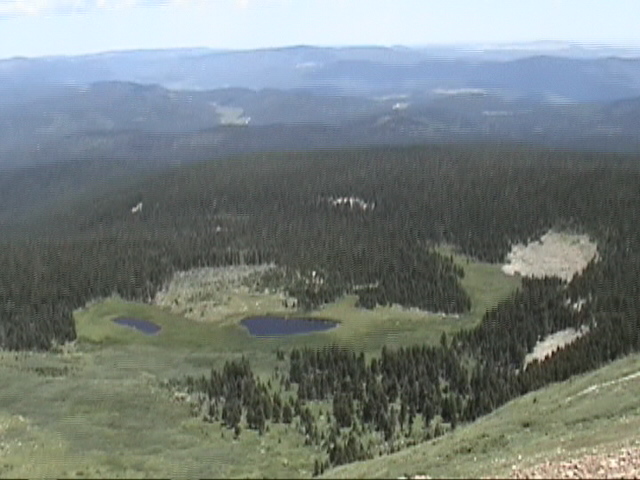
View from Santa Barbara Ridge. ca. 12800 feet. 07.16.06 #3 Taos Co., NM. (Serpent Lake)

Summit View
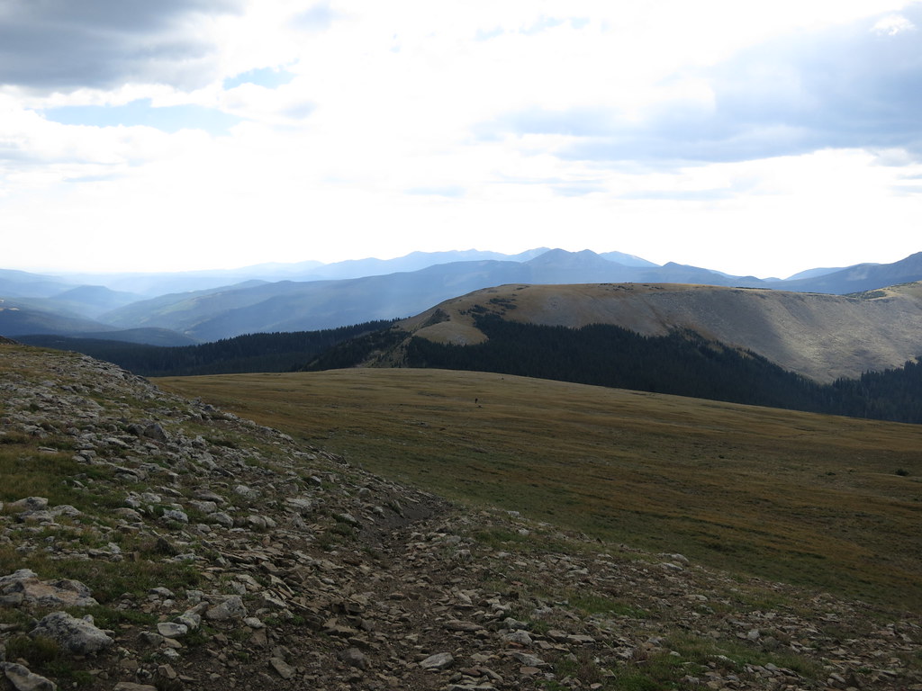
Big View
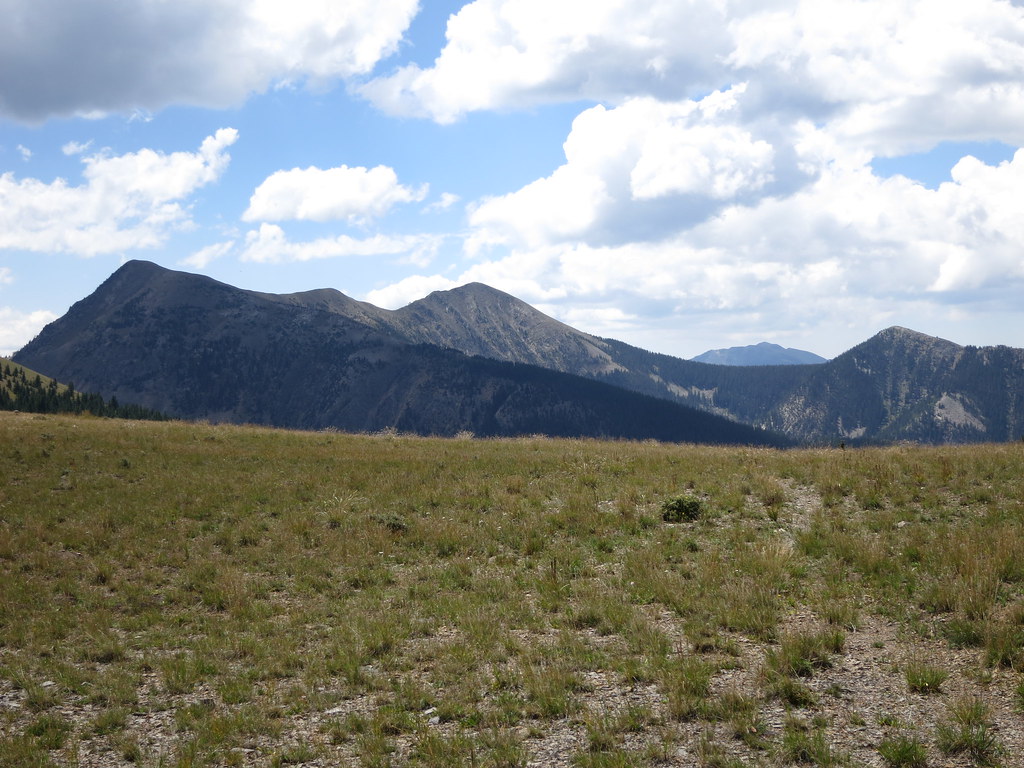
Soutwest View

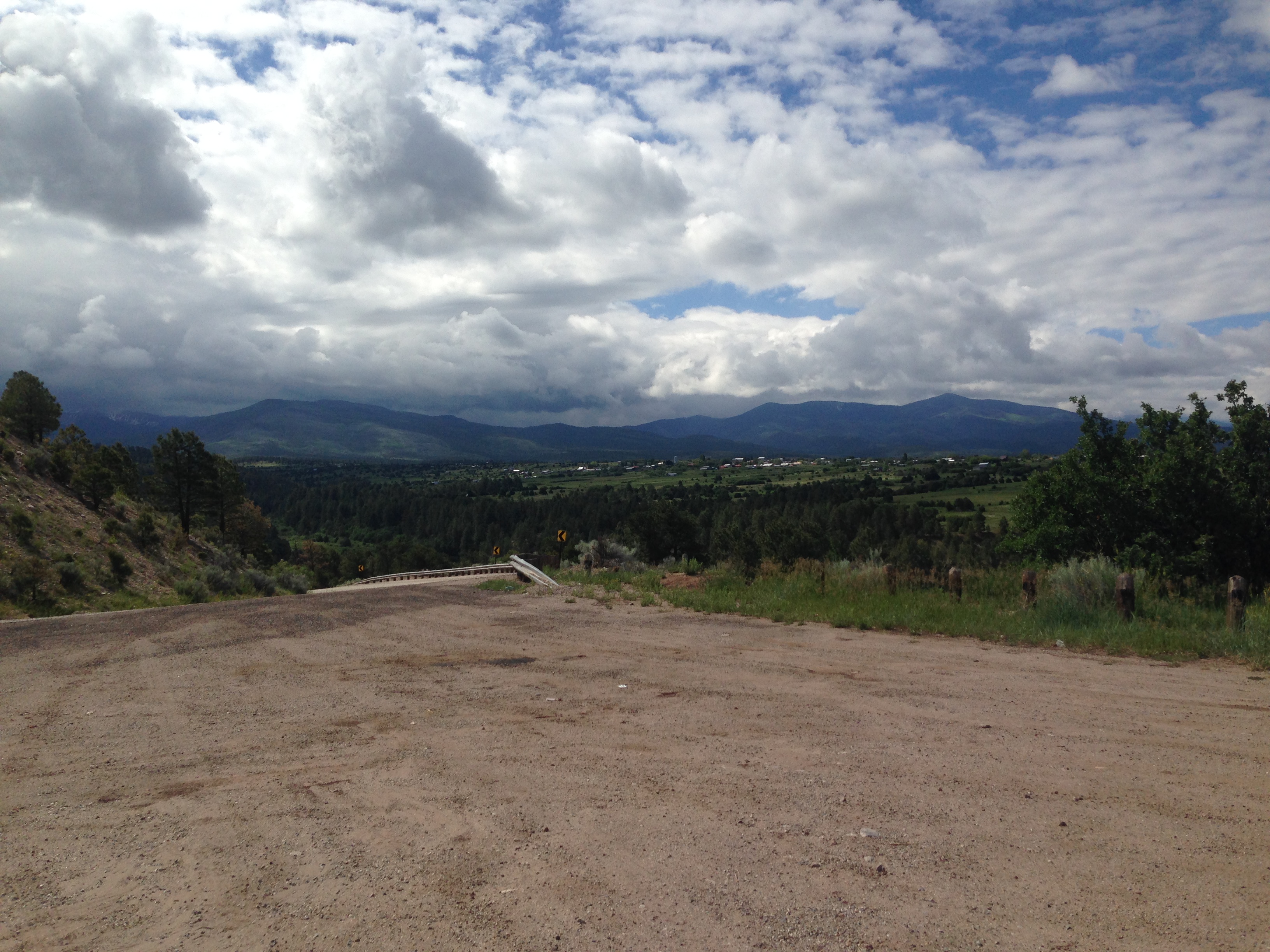
Valley View

View from Santa Barbara Ridge. ca. Taos Co., NM. 12800 feet. 07.16.06 #5
View at the start of today's ride

another view from the northridge above the refuge
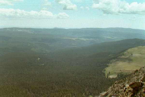
Panorama from S Truchas - ESE
View from Santa Barbara Ridge. ca. 12800 feet. 07.16.06 #3 Taos Co., NM. (Serpent Lake)
Topographic Map of Trampas Peak, New Mexico, USA
Find elevation by address:

Places near Trampas Peak, New Mexico, USA:
Santa Barbara Campground
Jicarita Peak
Serpent Lake
54 Cam De Abajo, Vadito, NM, USA
112 Llano De La Yegua Rd
Rodarte
The Knob
Comales Campground
4925 Nm-518
Two Gray Hares Disc Golf Course
Vadito, NM, USA
Rockwall At Nm-75 & Nm-518
Agua Piedra Campground
Peñasco
Sipapu
Sipapu Ski & Summer Resort
Tres Ritos
United States Postal Service
Vadito
21 Camino Del Vadito
Recent Searches:
- Elevation of Corso Fratelli Cairoli, 35, Macerata MC, Italy
- Elevation of Tallevast Rd, Sarasota, FL, USA
- Elevation of 4th St E, Sonoma, CA, USA
- Elevation of Black Hollow Rd, Pennsdale, PA, USA
- Elevation of Oakland Ave, Williamsport, PA, USA
- Elevation of Pedrógão Grande, Portugal
- Elevation of Klee Dr, Martinsburg, WV, USA
- Elevation of Via Roma, Pieranica CR, Italy
- Elevation of Tavkvetili Mountain, Georgia
- Elevation of Hartfords Bluff Cir, Mt Pleasant, SC, USA