Elevation of OH-, Oak Hill, OH, USA
Location: United States > Ohio > Jackson County > Oak Hill >
Longitude: -82.705262
Latitude: 38.9121111
Elevation: 200m / 656feet
Barometric Pressure: 99KPa
Elevation Map:
Satellite Map:
Related Photos:

Spring Sunset Magic

King of the Hill

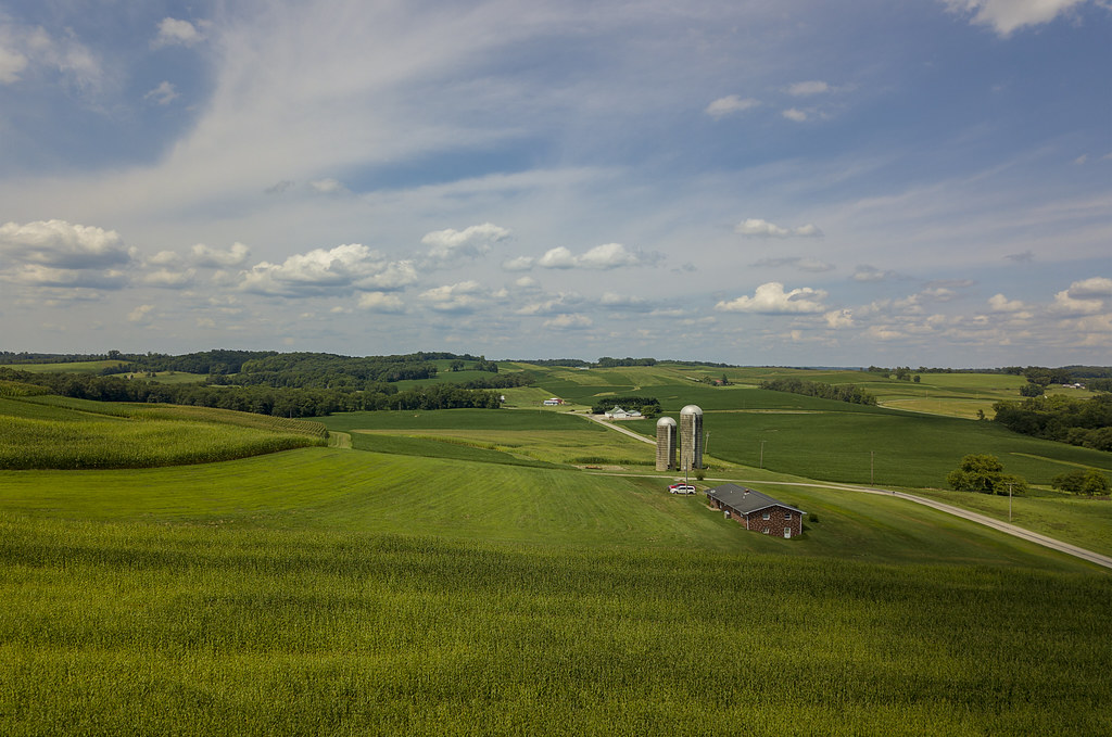
Jisco Farms

Yin - Yang

Holzer Medical Center

Mostly Cloudy is still Partly Sunny

Autumn in Ohio

Hammertown Lake

Looking out my front door

Colors of Winter
Shades of Green
Southern Ohio Countryside

Minford, Ohio

Minford, Ohio

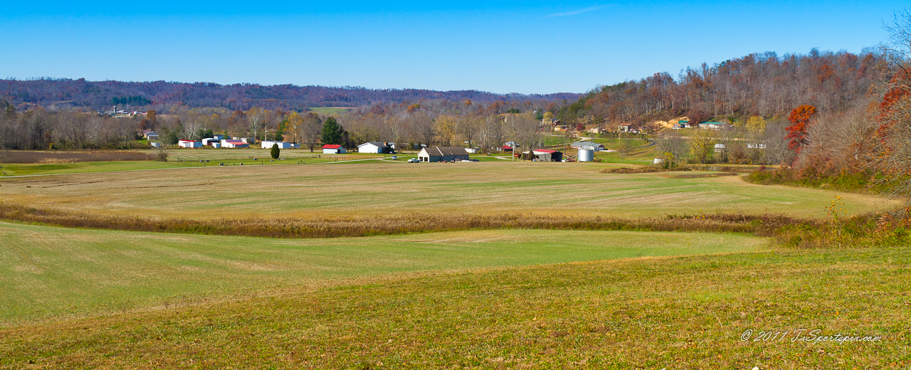
A Southeastern Ohio Landscape

My love, the beach!#beach #sun #nature #water #TagsForLikes.com #TFLers #ocean #lake #instagood #photooftheday #beautiful #sky #clouds #cloudporn #fun #pretty #sand #reflection #amazing #beauty #beautiful #shore #waterfoam #seashore #waves #wave

Bamboo in Ohio

Johnson Road Covered Bridge

Sunset ll

Sunset on Marvins Pond 2010
Topographic Map of OH-, Oak Hill, OH, USA
Find elevation by address:

Places near OH-, Oak Hill, OH, USA:
Hamilton Township
OH-, Oak Hill, OH, USA
Jefferson Township
Bloom Township
South Webster
OH-, South Webster, OH, USA
11902 Oh-140
Jackson County
Blackfork Rd, Oak Hill, OH, USA
818 Mayhew Rd
Scioto Furnace
Oak Hill
Maple Ave, Oak Hill, OH, USA
E Main St, Jackson, OH, USA
Jackson
Harrison Township
6101 Oh-140
6001 Oh-140
Beaver
Lick Run-Lyra Rd, Wheelersburg, OH, USA
Recent Searches:
- Elevation of Corso Fratelli Cairoli, 35, Macerata MC, Italy
- Elevation of Tallevast Rd, Sarasota, FL, USA
- Elevation of 4th St E, Sonoma, CA, USA
- Elevation of Black Hollow Rd, Pennsdale, PA, USA
- Elevation of Oakland Ave, Williamsport, PA, USA
- Elevation of Pedrógão Grande, Portugal
- Elevation of Klee Dr, Martinsburg, WV, USA
- Elevation of Via Roma, Pieranica CR, Italy
- Elevation of Tavkvetili Mountain, Georgia
- Elevation of Hartfords Bluff Cir, Mt Pleasant, SC, USA