Elevation of Odlabari Tea Garden, West Bengal, India
Location: India > West Bengal > Jalpaiguri >
Longitude: 88.6168969
Latitude: 26.8283541
Elevation: 140m / 459feet
Barometric Pressure: 100KPa
Elevation Map:
Satellite Map:
Related Photos:
CSP_4156.JPG
Darjeeling, West Bengal

CSP_4157.JPG
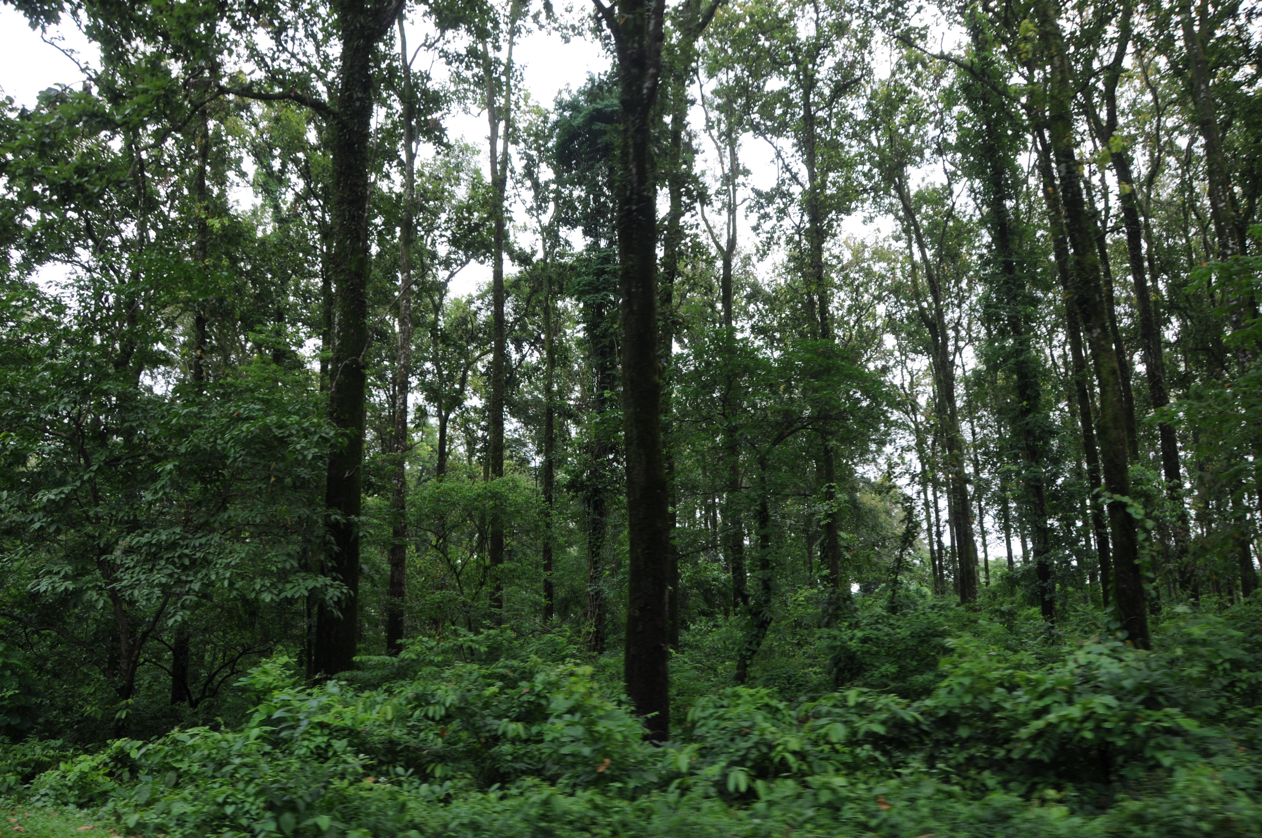
Mangpong Forest, West Bengal

Mangpong Forest, West Bengal
CSP_3983.JPG
CSP_3981.JPG
CSP_4154.JPG

The Coronation Bridge...

Nepal-India-4317
En route to Gangtok, Sikkim from Siliguri, West Bengal

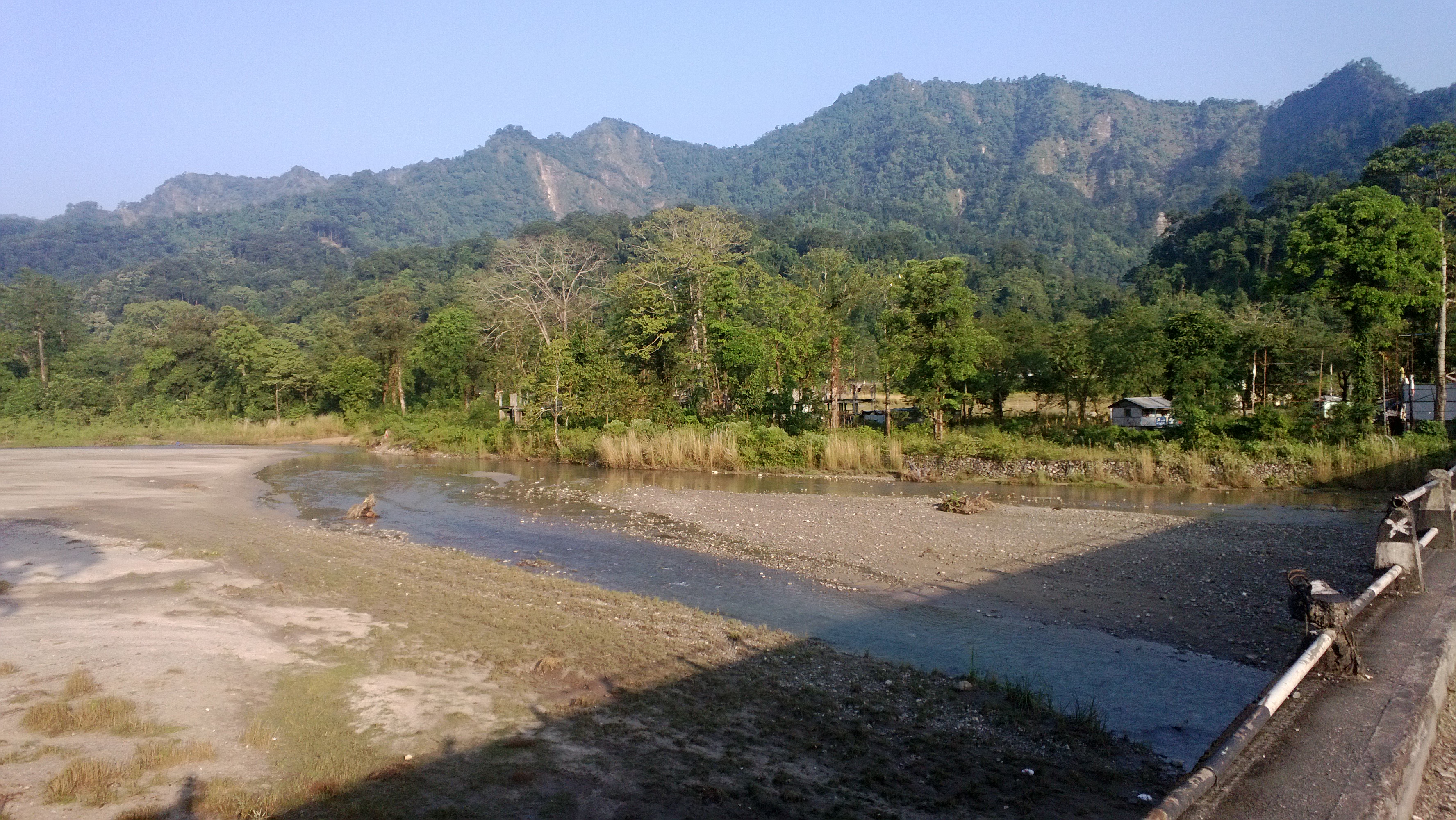
Mangpong Forest, West Bengal
CSP_3982.JPG
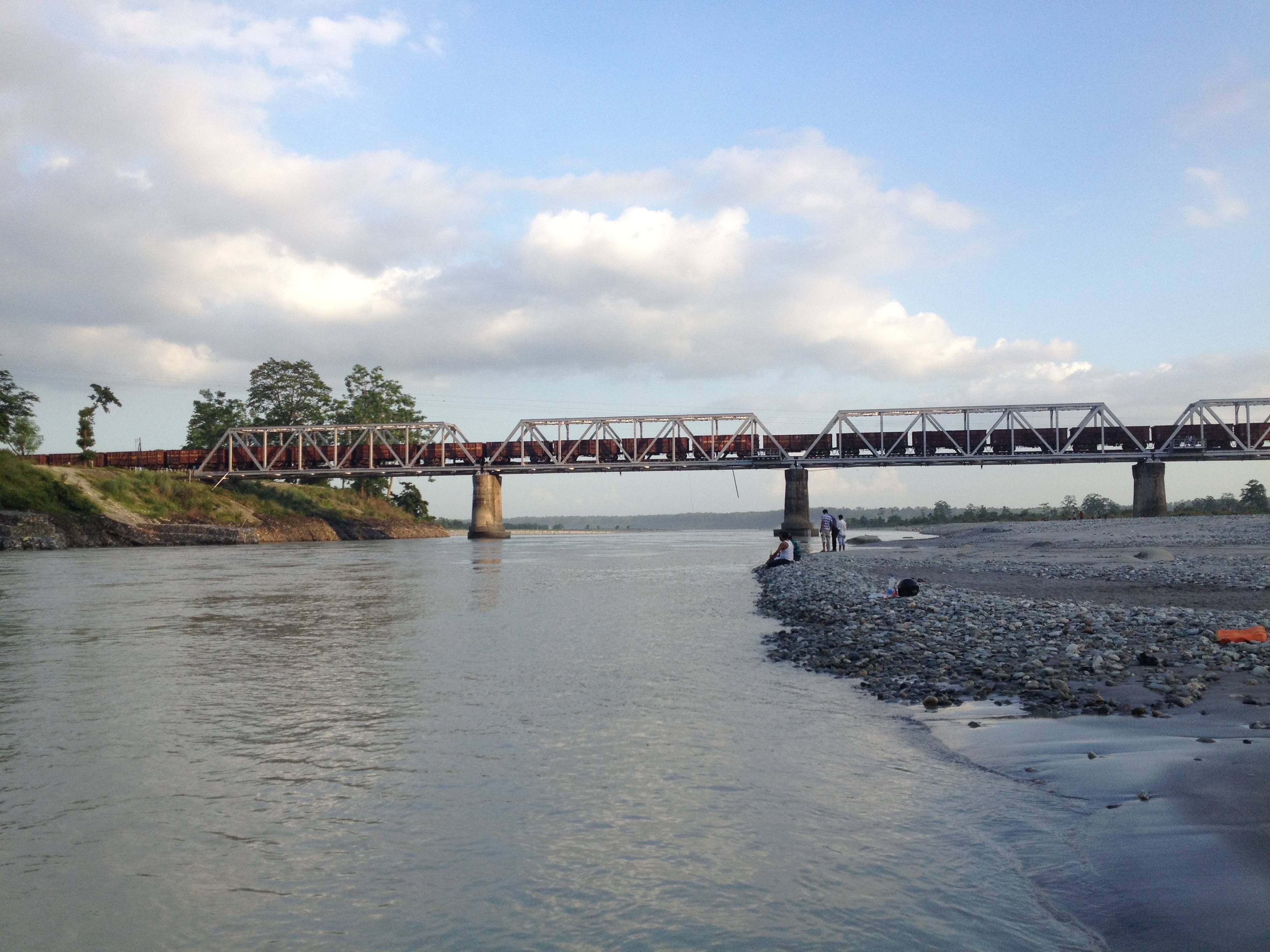
Bridge over Teesta
Bhutan Cycling

Dooars from Train
Topographic Map of Odlabari Tea Garden, West Bengal, India
Find elevation by address:

Places near Odlabari Tea Garden, West Bengal, India:
Betbari Tea Garden
Damdim Tea Garden
Kumlai Tea Garden
Kailash Pur Tea Estate
Anandapur Tea Garden
Kathambari Market
Dakshin Hanskhali
Haihaipathar
Nedam Jhora Tea Garden
Mal Bazar
Soongachi Tea Estate More
Bara Dighi
Bara Dighi Tea Garden
Batabari Godown (tea-estate)
Dooars Tour
Jadabpur Tea Garden
Bamandanga Tea Garden
Jaldhaka
Nagrakata
Kalabari Tea Garden N
Recent Searches:
- Elevation of Corso Fratelli Cairoli, 35, Macerata MC, Italy
- Elevation of Tallevast Rd, Sarasota, FL, USA
- Elevation of 4th St E, Sonoma, CA, USA
- Elevation of Black Hollow Rd, Pennsdale, PA, USA
- Elevation of Oakland Ave, Williamsport, PA, USA
- Elevation of Pedrógão Grande, Portugal
- Elevation of Klee Dr, Martinsburg, WV, USA
- Elevation of Via Roma, Pieranica CR, Italy
- Elevation of Tavkvetili Mountain, Georgia
- Elevation of Hartfords Bluff Cir, Mt Pleasant, SC, USA