Elevation of Jadabpur Tea Garden, West Bengal, India
Location: India > West Bengal > Jalpaiguri >
Longitude: 88.8467036
Latitude: 26.7346678
Elevation: 102m / 335feet
Barometric Pressure: 100KPa
Elevation Map:
Satellite Map:
Related Photos:

CSP_4161.JPG

Dooars_Light Art
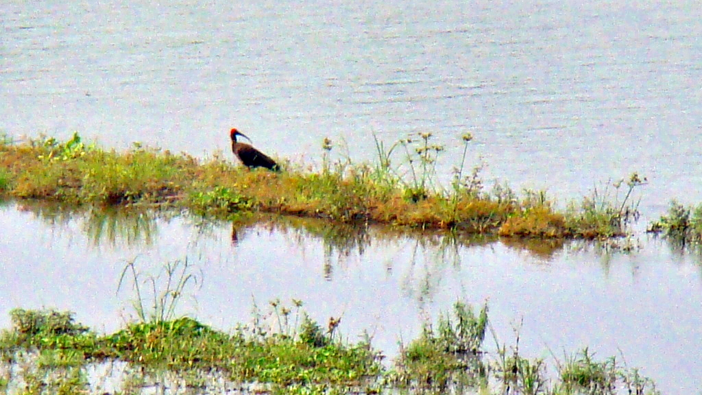
Kalo Dochara / Red-naped Ibis (Pseudibis papillosa) also known as Black Ibis

Mobile Photo Malbazar (50)
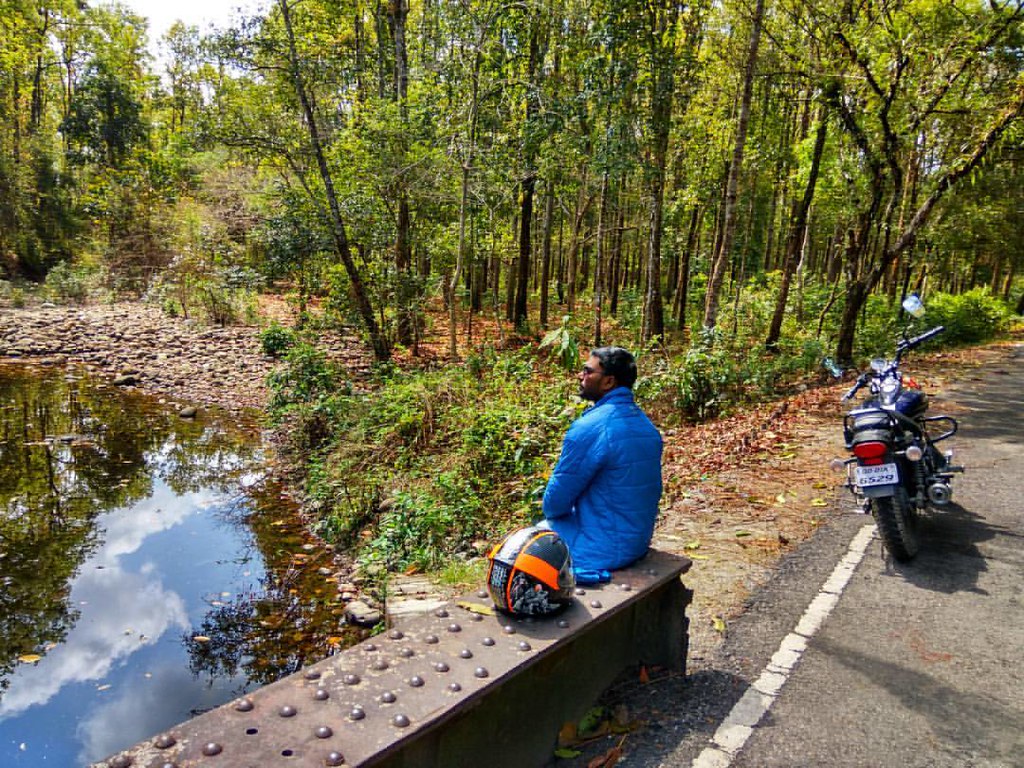
Freedom is... the choice of getting lost in the wilderness! #GettingLost #northbengaldiaries #AvengerDiaries #AvengerFLG #wanderlust #live2wander #indianbikingsquad #Helmetstories #RoadLife @avengerunited @bacmumbai @bacahmedabad

ספטמבר 9 - 17·48 - Rickshawrun4 193
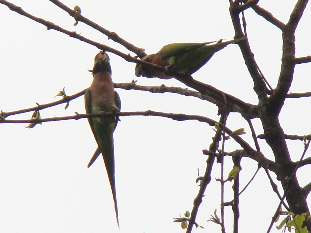
Madan Tia / Red-breasted parakeet (Psittacula alexandri)

Babin Bridge

Sweet Kitchen III
Topographic Map of Jadabpur Tea Garden, West Bengal, India
Find elevation by address:

Places near Jadabpur Tea Garden, West Bengal, India:
Bamandanga Tea Garden
Bara Dighi Tea Garden
Kalabari Tea Garden N
Jaldhaka
Bara Dighi
Batabari Godown (tea-estate)
Haihaipathar
Dooars Tour
Nagrakata
Nedam Jhora Tea Garden
Mal Bazar
Soongachi Tea Estate More
Bhagatpur Tea Garden
Anandapur Tea Garden
Dakshin Hanskhali
Damdim Tea Garden
Kumlai Tea Garden
Kailash Pur Tea Estate
Kathambari Market
Betbari Tea Garden
Recent Searches:
- Elevation of Corso Fratelli Cairoli, 35, Macerata MC, Italy
- Elevation of Tallevast Rd, Sarasota, FL, USA
- Elevation of 4th St E, Sonoma, CA, USA
- Elevation of Black Hollow Rd, Pennsdale, PA, USA
- Elevation of Oakland Ave, Williamsport, PA, USA
- Elevation of Pedrógão Grande, Portugal
- Elevation of Klee Dr, Martinsburg, WV, USA
- Elevation of Via Roma, Pieranica CR, Italy
- Elevation of Tavkvetili Mountain, Georgia
- Elevation of Hartfords Bluff Cir, Mt Pleasant, SC, USA