Elevation of Bara Dighi, West Bengal, India
Location: India > West Bengal > Jalpaiguri >
Longitude: 88.7746484
Latitude: 26.8106572
Elevation: 118m / 387feet
Barometric Pressure: 100KPa
Elevation Map:
Satellite Map:
Related Photos:

CSP_4158.JPG

Sukhanibasti, West Bengal

Manabari, West Bengal

Dooars_Light Art

Dooars_Macro Resort

Kalo Dochara / Red-naped Ibis (Pseudibis papillosa) also known as Black Ibis

Nepal-India-4317

ספטמבר 9 - 17·56 - Rickshawrun4 195

Jalpaiguri: COVID-19 Pandemic Relief Services

dance troupe

local dance
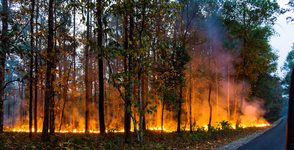
forest fire

-MILKYWAY.

#northbengaldiaries #AvengerDiaries #RoadLife #BeautifulBengal #igbikers #wanderlust #live2wander #follow4follow #like4like

Freedom is... the choice of getting lost in the wilderness! #GettingLost #northbengaldiaries #AvengerDiaries #AvengerFLG #wanderlust #live2wander #indianbikingsquad #Helmetstories #RoadLife @avengerunited @bacmumbai @bacahmedabad

Horizon - to rise and fall

A cloudy day !

Gorubathan road at Menglas Tea Garden
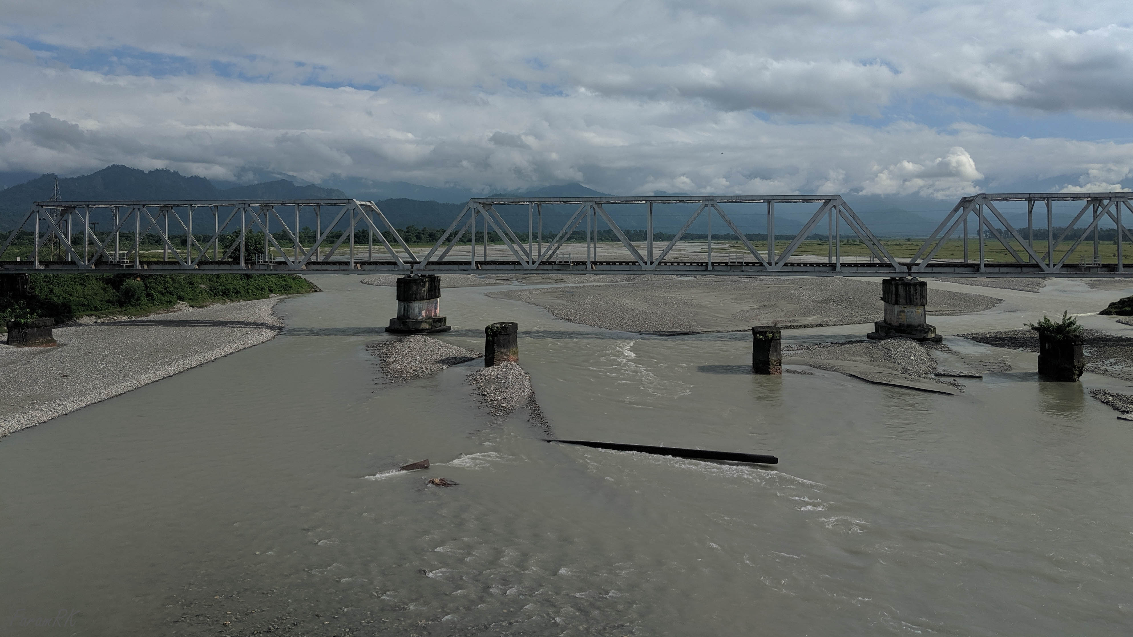
Chel river near Oodlabari

Don Bosco school, Oodlabari

05 00 Bhutan - Phuntsholing - Onderweg naar Phuntsholing 026_edited-1

05 00 Bhutan - Phuntsholing - Onderweg naar Phuntsholing 029

05 00 Bhutan - Phuntsholing - Onderweg naar Phuntsholing 031

05 00 Bhutan - Phuntsholing - Onderweg naar Phuntsholing 032_edited-1

Mobile Photo Malbazar (50)
Topographic Map of Bara Dighi, West Bengal, India
Find elevation by address:

Places near Bara Dighi, West Bengal, India:
Bara Dighi Tea Garden
Haihaipathar
Batabari Godown (tea-estate)
Dooars Tour
Nedam Jhora Tea Garden
Mal Bazar
Soongachi Tea Estate More
Kumlai Tea Garden
Damdim Tea Garden
Jadabpur Tea Garden
Bamandanga Tea Garden
Anandapur Tea Garden
Jaldhaka
Betbari Tea Garden
Kailash Pur Tea Estate
Dakshin Hanskhali
Kathambari Market
Nagrakata
Kalabari Tea Garden N
Odlabari Tea Garden
Recent Searches:
- Elevation of Corso Fratelli Cairoli, 35, Macerata MC, Italy
- Elevation of Tallevast Rd, Sarasota, FL, USA
- Elevation of 4th St E, Sonoma, CA, USA
- Elevation of Black Hollow Rd, Pennsdale, PA, USA
- Elevation of Oakland Ave, Williamsport, PA, USA
- Elevation of Pedrógão Grande, Portugal
- Elevation of Klee Dr, Martinsburg, WV, USA
- Elevation of Via Roma, Pieranica CR, Italy
- Elevation of Tavkvetili Mountain, Georgia
- Elevation of Hartfords Bluff Cir, Mt Pleasant, SC, USA