Elevation of Ochlocknee, GA, USA
Location: United States > Georgia > Thomas County >
Longitude: -84.052951
Latitude: 30.9737997
Elevation: 80m / 262feet
Barometric Pressure: 100KPa
Elevation Map:
Satellite Map:
Related Photos:
Wonderful view

Lapham-Patterson House Street View

Lapham-Patterson House Side View
Good view looking out. #changinglights at #church #ladder 25 feet up.

The view looking down. #changinglights at #church almost #verticalladder 25 feet in the air. #scared #excited #adrenaline might have #peedmyselfalittle

Thomasville sunrise

IMG_4778.jpg

Thomas County, Ga.
IMG_4777.jpg
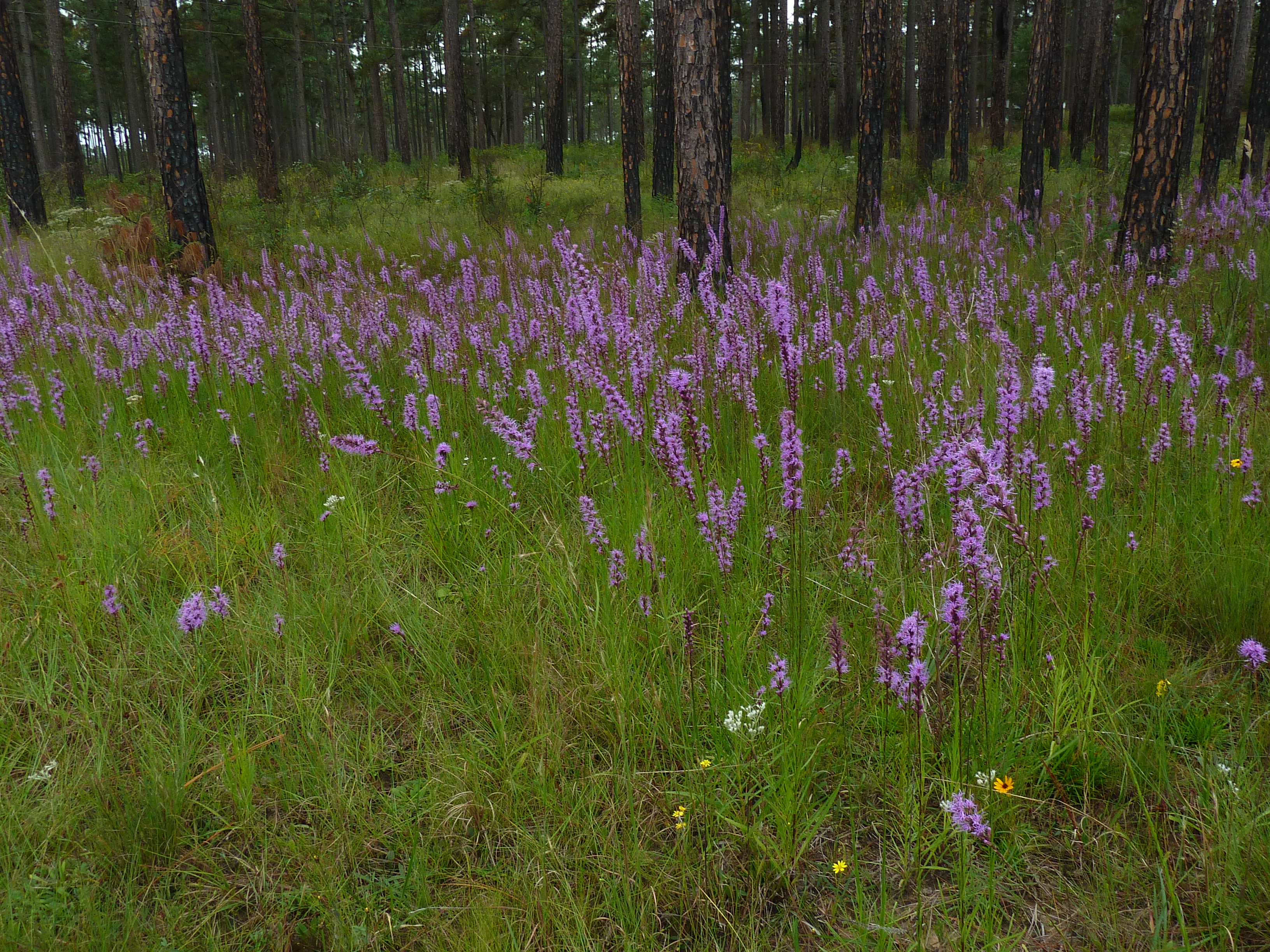
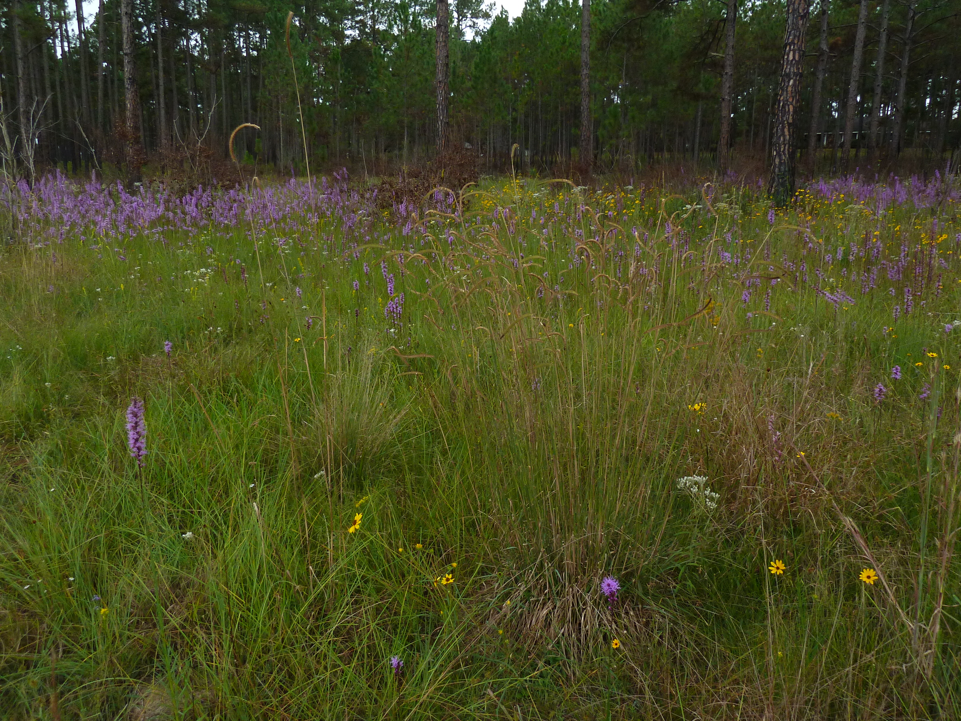
Blazing star (Liatris sp)

Blazing star (Liatris sp)

Millsaps Training Facility, Grady County

1491 Amason House Img_8226

IMG_4768.jpg

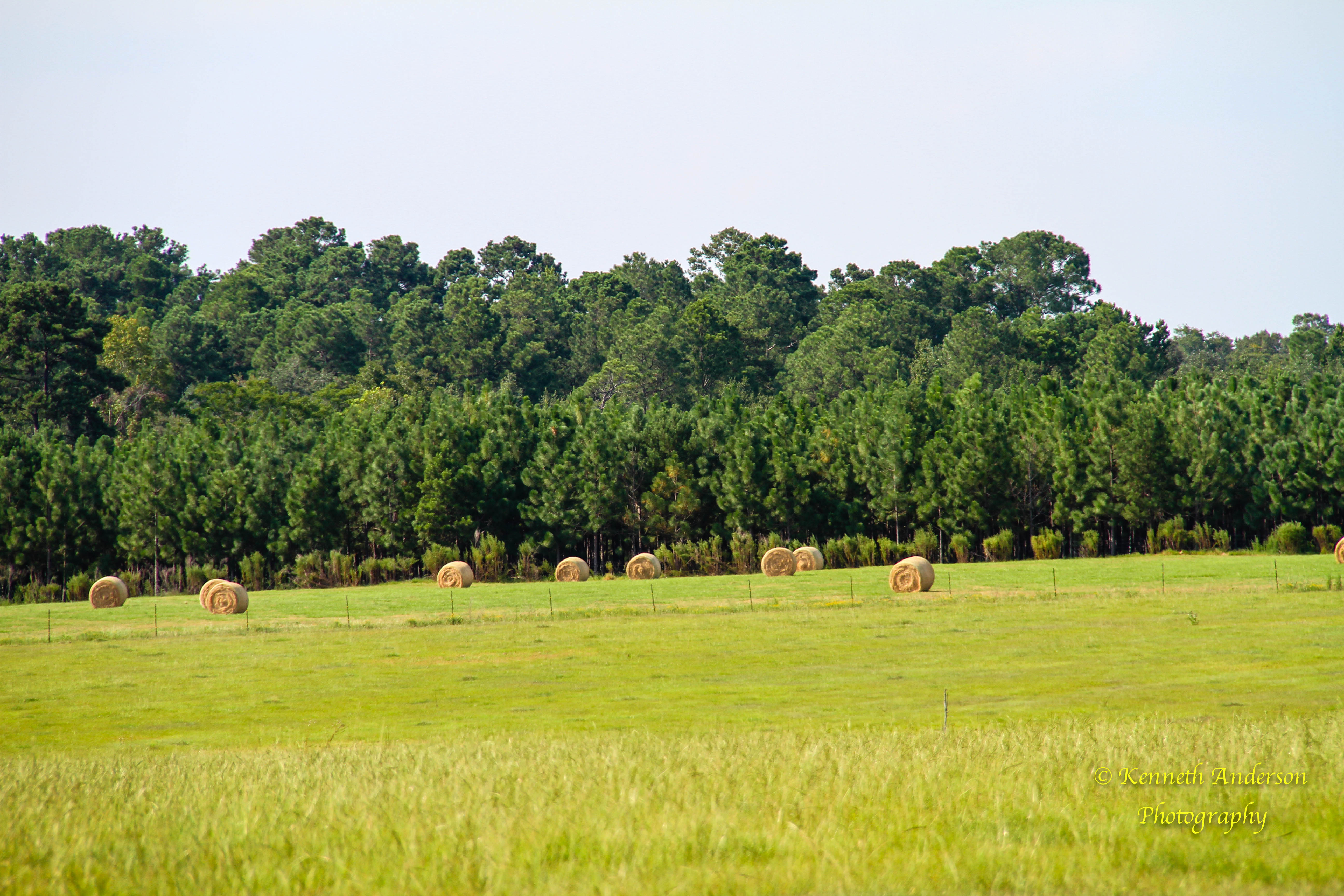
Thomas County Countryside-3
Topographic Map of Ochlocknee, GA, USA
Find elevation by address:

Places in Ochlocknee, GA, USA:
Places near Ochlocknee, GA, USA:
Ellen Street
Ellen Street
GA-3 Alt, Meigs, GA, USA
1325 Lee White Rd
3520 Bold Springs Rd
200 Scites Ln
Palmer Road
Meigs
Georgia 111
6803 Lower Meigs Rd
604 Ga-93
GA-93, Cairo, GA, USA
2317 Mitchell County Line Rd
Dillon Rd, Thomasville, GA, USA
Pelham
N Pine St, Coolidge, GA, USA
Coolidge
John Collins Rd, Pelham, GA, USA
Hinsonton Rd, Meigs, GA, USA
US-, Moultrie, GA, USA
Recent Searches:
- Elevation of Corso Fratelli Cairoli, 35, Macerata MC, Italy
- Elevation of Tallevast Rd, Sarasota, FL, USA
- Elevation of 4th St E, Sonoma, CA, USA
- Elevation of Black Hollow Rd, Pennsdale, PA, USA
- Elevation of Oakland Ave, Williamsport, PA, USA
- Elevation of Pedrógão Grande, Portugal
- Elevation of Klee Dr, Martinsburg, WV, USA
- Elevation of Via Roma, Pieranica CR, Italy
- Elevation of Tavkvetili Mountain, Georgia
- Elevation of Hartfords Bluff Cir, Mt Pleasant, SC, USA