Elevation of GA-93, Cairo, GA, USA
Location: United States > Georgia > Grady County > Cairo >
Longitude: -84.197657
Latitude: 30.9691515
Elevation: 94m / 308feet
Barometric Pressure: 100KPa
Elevation Map:
Satellite Map:
Related Photos:

Trout lily

Providence Canyon, GA

Wolf Creek Preserve

Millsaps Training Facility, Grady County

Providence Canyon, GA

Providence Canyon, GA

Grady County, Ga.

Providence Canyon, GA

IMG_4768.jpg

Thomas County, Ga.
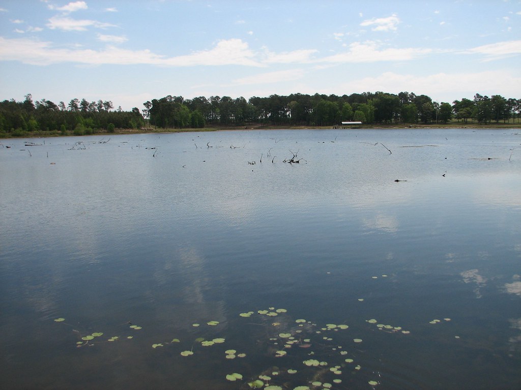
2007~Boys Fishing in Pond in Franklin Co., Whigham, GA
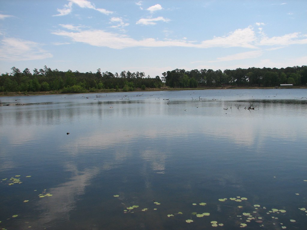
2007~Boys Fishing in Pond in Franklin Co., Whigham, GA
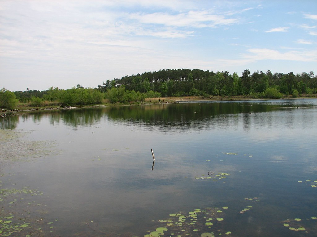
2007~Boys Fishing in Pond in Franklin Co., Whigham, GA

2007~Boys Fishing in Pond in Franklin Co., Whigham, GA
Topographic Map of GA-93, Cairo, GA, USA
Find elevation by address:

Places near GA-93, Cairo, GA, USA:
604 Ga-93
Georgia 111
3520 Bold Springs Rd
1325 Lee White Rd
Ellen Street
Ellen Street
GA-3 Alt, Meigs, GA, USA
Ochlocknee
Meigs
Palmer Road
Pelham
John Collins Rd, Pelham, GA, USA
6803 Lower Meigs Rd
200 Scites Ln
3711 Flats Rd
Mitchell County
2317 Mitchell County Line Rd
37 W Broad St, Camilla, GA, USA
Camilla
Camilla
Recent Searches:
- Elevation of Corso Fratelli Cairoli, 35, Macerata MC, Italy
- Elevation of Tallevast Rd, Sarasota, FL, USA
- Elevation of 4th St E, Sonoma, CA, USA
- Elevation of Black Hollow Rd, Pennsdale, PA, USA
- Elevation of Oakland Ave, Williamsport, PA, USA
- Elevation of Pedrógão Grande, Portugal
- Elevation of Klee Dr, Martinsburg, WV, USA
- Elevation of Via Roma, Pieranica CR, Italy
- Elevation of Tavkvetili Mountain, Georgia
- Elevation of Hartfords Bluff Cir, Mt Pleasant, SC, USA