Elevation of Obstruction Mountain, Clearwater County, AB T0M, Canada
Location: Canada > Alberta > Division No. 9 >
Longitude: -116.8847222
Latitude: 52.3869444
Elevation: 3104m / 10184feet
Barometric Pressure: 0KPa
Related Photos:
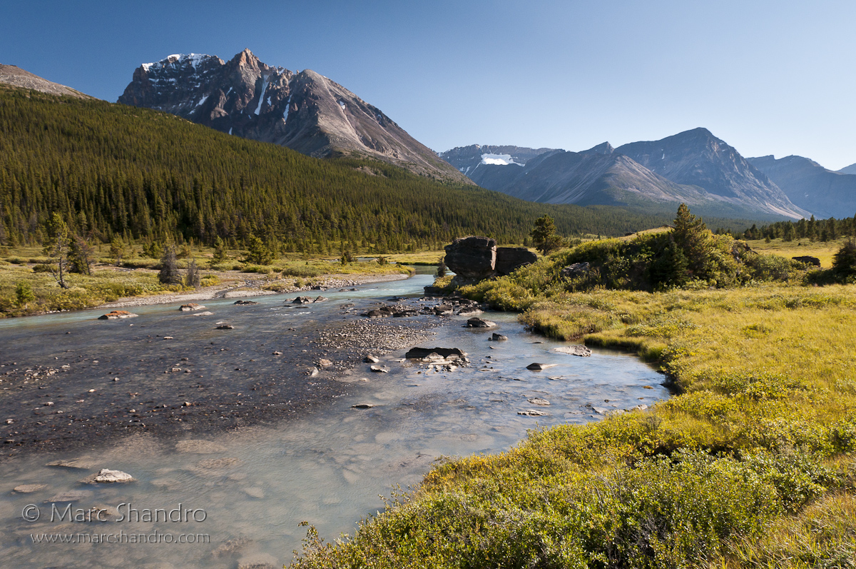
Brazeau River Valley - Jasper Alberta - Candian Rockies
Topographic Map of Obstruction Mountain, Clearwater County, AB T0M, Canada
Find elevation by address:

Places near Obstruction Mountain, Clearwater County, AB T0M, Canada:
Stan Rogers Peak
Carousel Peak
Ribbon Peak
Lonely Peak
Quixote Peak
Mount Aztec
White Goat
Strong Winds Peak
Opabin Peak
Circle Game Peak
Marble Mountain
Mount Stewart
Brazeau Lake
Capitoline Peak
Cornice Peak
Marble Nw4
Flat Ridge
Chocolate Mountain
Cirrus Mountain
Copia Peak
Recent Searches:
- Elevation of Pasing, Munich, Bavaria, 81241, Germany
- Elevation of 24, Auburn Bay Crescent SE, Auburn Bay, Calgary, Alberta, T3M 0A6, Canada
- Elevation of Denver, 2314, Arapahoe Street, Five Points, Denver, Colorado, 80205, USA
- Elevation of Community of the Beatitudes, 2924, West 43rd Avenue, Sunnyside, Denver, Colorado, 80211, USA
- Elevation map of Litang County, Sichuan, China
- Elevation map of Madoi County, Qinghai, China
- Elevation of 3314, Ohio State Route 114, Payne, Paulding County, Ohio, 45880, USA
- Elevation of Sarahills Drive, Saratoga, Santa Clara County, California, 95070, USA
- Elevation of Town of Bombay, Franklin County, New York, USA
- Elevation of 9, Convent Lane, Center Moriches, Suffolk County, New York, 11934, USA
- Elevation of Saint Angelas Convent, 9, Convent Lane, Center Moriches, Suffolk County, New York, 11934, USA
- Elevation of 131st Street Southwest, Mukilteo, Snohomish County, Washington, 98275, USA
- Elevation of 304, Harrison Road, Naples, Cumberland County, Maine, 04055, USA
- Elevation of 2362, Timber Ridge Road, Harrisburg, Cabarrus County, North Carolina, 28075, USA
- Elevation of Ridge Road, Marshalltown, Marshall County, Iowa, 50158, USA
- Elevation of 2459, Misty Shadows Drive, Pigeon Forge, Sevier County, Tennessee, 37862, USA
- Elevation of 8043, Brightwater Way, Spring Hill, Williamson County, Tennessee, 37179, USA
- Elevation of Starkweather Road, San Luis, Costilla County, Colorado, 81152, USA
- Elevation of 5277, Woodside Drive, Baton Rouge, East Baton Rouge Parish, Louisiana, 70808, USA
- Elevation of 1139, Curtin Street, Shepherd Park Plaza, Houston, Harris County, Texas, 77018, USA