Elevation of Lonely Peak, Clearwater County, AB T0M, Canada
Location: Canada > Alberta > Division No. 9 >
Longitude: -116.84722
Latitude: 52.3086111
Elevation: 3037m / 9964feet
Barometric Pressure: 70KPa
Elevation Map:
Satellite Map:
Related Photos:
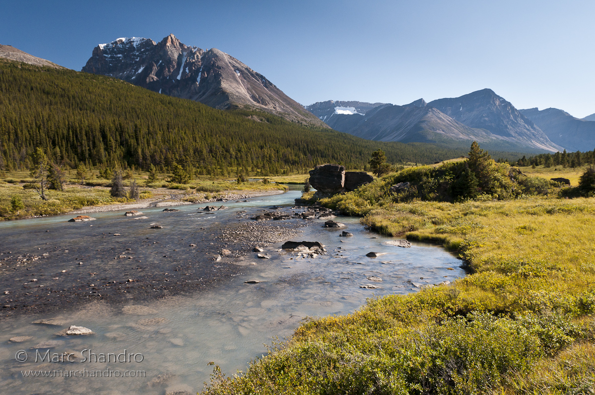
Brazeau River Valley - Jasper Alberta - Candian Rockies
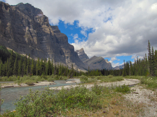
The View north from our lunch break spot.
Topographic Map of Lonely Peak, Clearwater County, AB T0M, Canada
Find elevation by address:

Places near Lonely Peak, Clearwater County, AB T0M, Canada:
Ribbon Peak
Stan Rogers Peak
Quixote Peak
Obstruction Mountain
Strong Winds Peak
Carousel Peak
White Goat
Cornice Peak
Circle Game Peak
Mount Stewart
Cirrus Mountain
Mount Coleman
Opabin Peak
Marble Mountain
Mount Aztec
Brazeau Lake
Capitoline Peak
Marble Nw4
Icefields Parkway
Flat Ridge
Recent Searches:
- Elevation of Corso Fratelli Cairoli, 35, Macerata MC, Italy
- Elevation of Tallevast Rd, Sarasota, FL, USA
- Elevation of 4th St E, Sonoma, CA, USA
- Elevation of Black Hollow Rd, Pennsdale, PA, USA
- Elevation of Oakland Ave, Williamsport, PA, USA
- Elevation of Pedrógão Grande, Portugal
- Elevation of Klee Dr, Martinsburg, WV, USA
- Elevation of Via Roma, Pieranica CR, Italy
- Elevation of Tavkvetili Mountain, Georgia
- Elevation of Hartfords Bluff Cir, Mt Pleasant, SC, USA