Elevation of Oakleaf Pl, Cupertino, CA, USA
Location: United States > California > Santa Clara County > Cupertino >
Longitude: -122.05899
Latitude: 37.3238023
Elevation: 91m / 299feet
Barometric Pressure: 100KPa
Elevation Map:
Satellite Map:
Related Photos:

Heavenly shades of night are falling, it's twilight time ...

Heavenly Shades of Night are Falling -- Reprise

Fields of Gold

Somewhere in heaven

Arastradero Pasture

Trail to Heaven

6A820DB1-D957-42A7-903B-020472D38CDF

My Favorite Tree

April Skies | Palo Alto
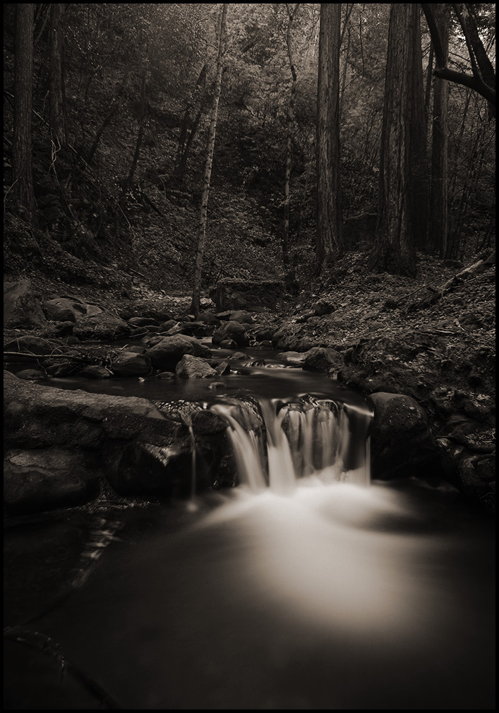
morning light in Saratoga Creek
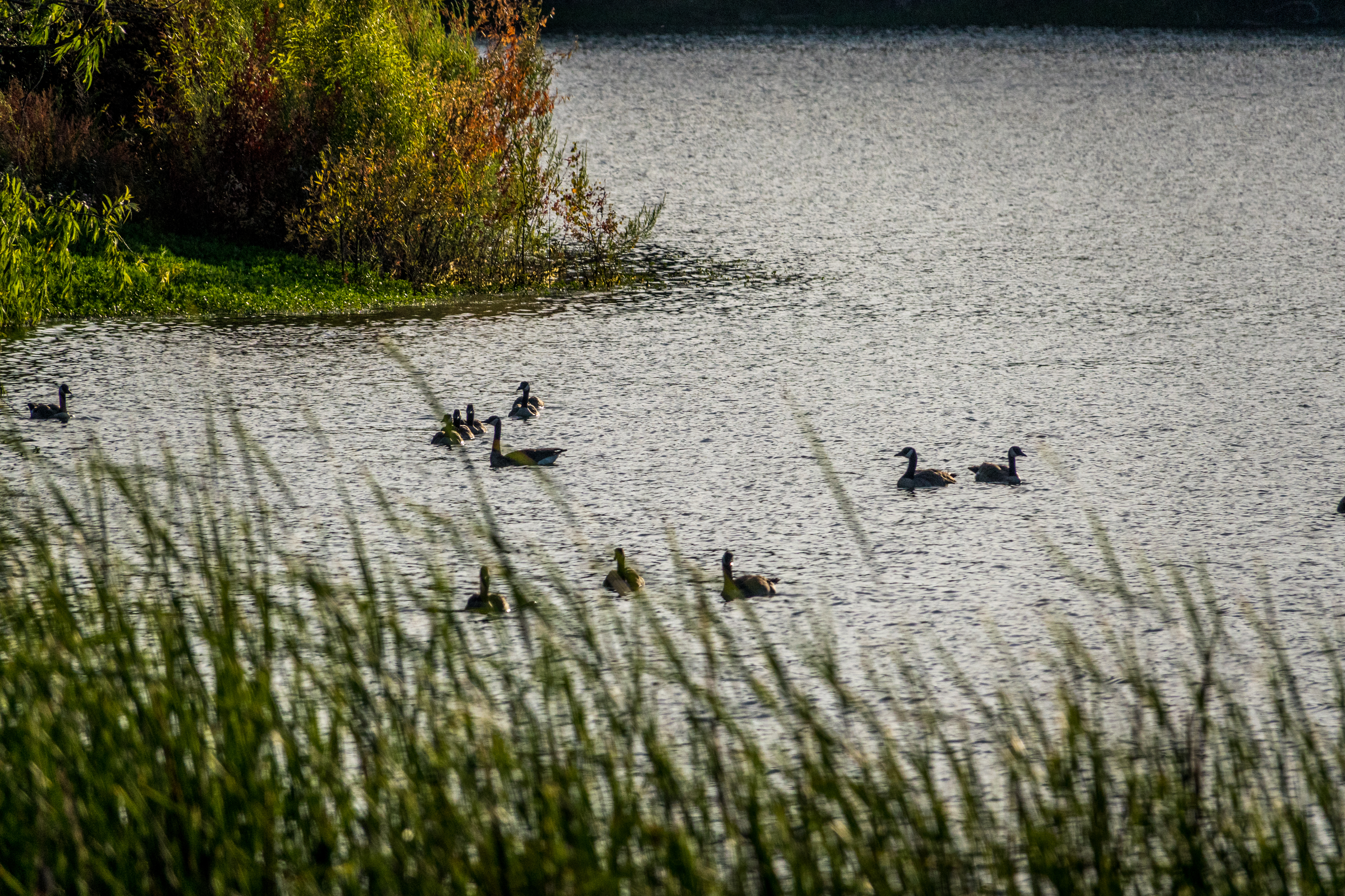
Geese at sunset

In which the ducks decide to move on while the pelicans stay put

Door of opportunities :)

Home on the Farm
Searching for Life

~~Garden of PEACE #2~~

Heritage Orchard_02

DSC00963.JPG

Clouds at sunset - Happy Sliders Sunday

Closing Time

windy Grass
Topographic Map of Oakleaf Pl, Cupertino, CA, USA
Find elevation by address:

Places near Oakleaf Pl, Cupertino, CA, USA:
Byrne Ct, Cupertino, CA, USA
10365 Creston Dr
Lomita Avenue
10250 Palo Vista Rd
10406 Palo Vista Rd
Stevens Creek Blvd & S Foothill Blvd
22201 Mcclellan Rd
22351 Creston Dr
Par 3 Drive
10697 Par 3 Dr
Nice Place
22162 Bitter Oak St
Deep Cliff Golf Course
22250 Homestead Rd
1717 Marshall Ct
10080 Firwood Dr
940 November Dr
Foothill & Homestead
MONTE VISTA, CA, USA
10206 Camberley Ln
Recent Searches:
- Elevation of Corso Fratelli Cairoli, 35, Macerata MC, Italy
- Elevation of Tallevast Rd, Sarasota, FL, USA
- Elevation of 4th St E, Sonoma, CA, USA
- Elevation of Black Hollow Rd, Pennsdale, PA, USA
- Elevation of Oakland Ave, Williamsport, PA, USA
- Elevation of Pedrógão Grande, Portugal
- Elevation of Klee Dr, Martinsburg, WV, USA
- Elevation of Via Roma, Pieranica CR, Italy
- Elevation of Tavkvetili Mountain, Georgia
- Elevation of Hartfords Bluff Cir, Mt Pleasant, SC, USA