Elevation of Oak Ridge Church Rd, Kershaw, SC, USA
Location: United States > South Carolina > Kershaw County > Kershaw >
Longitude: -80.537348
Latitude: 34.4946
Elevation: 126m / 413feet
Barometric Pressure: 100KPa
Elevation Map:
Satellite Map:
Related Photos:
Spring Stevens Fish Hatchery - Harvest
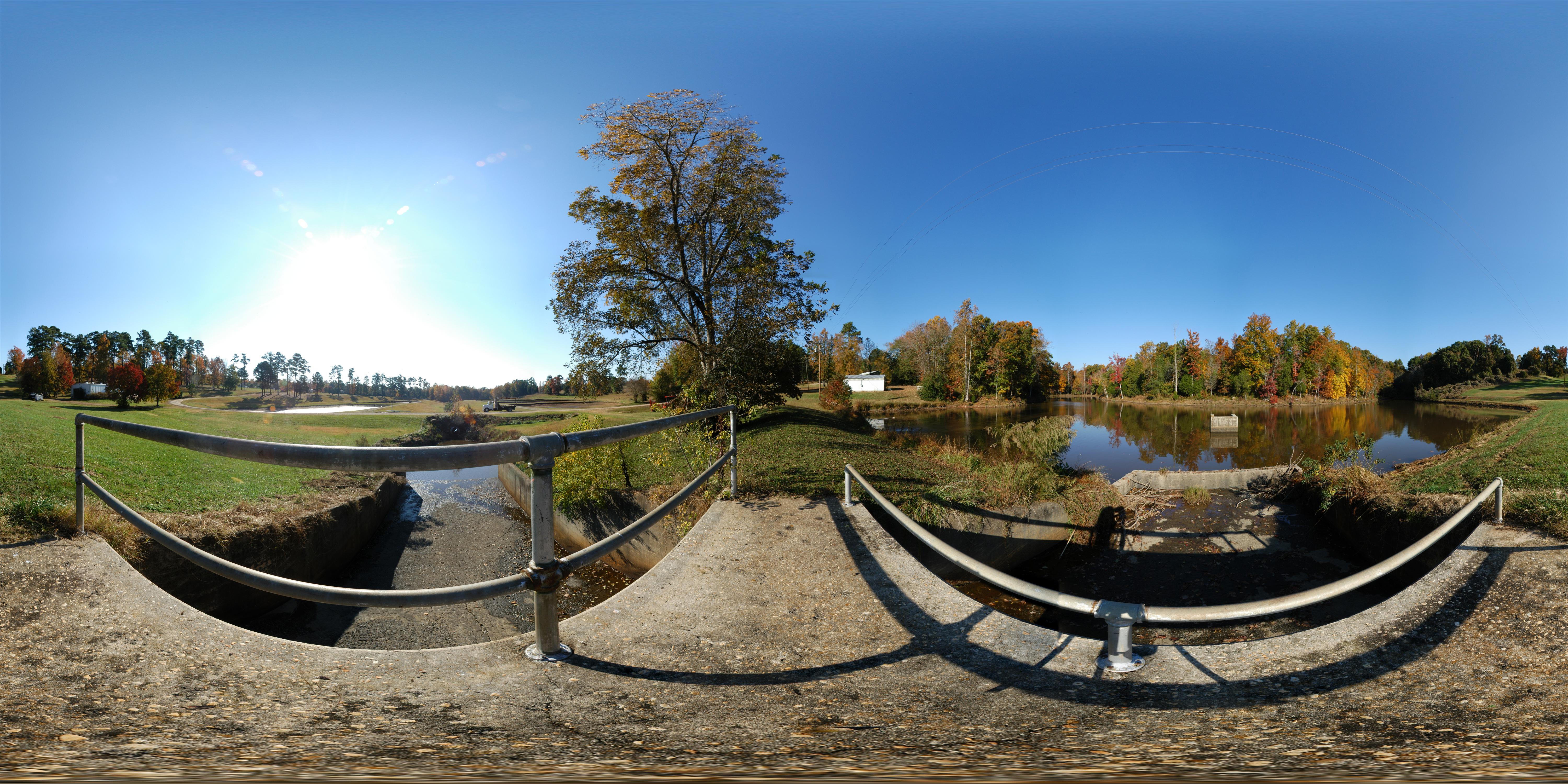
Spring Stevens Fish Hatchery - Impoundment

Datsun 280z at Carolina Motorsports Park
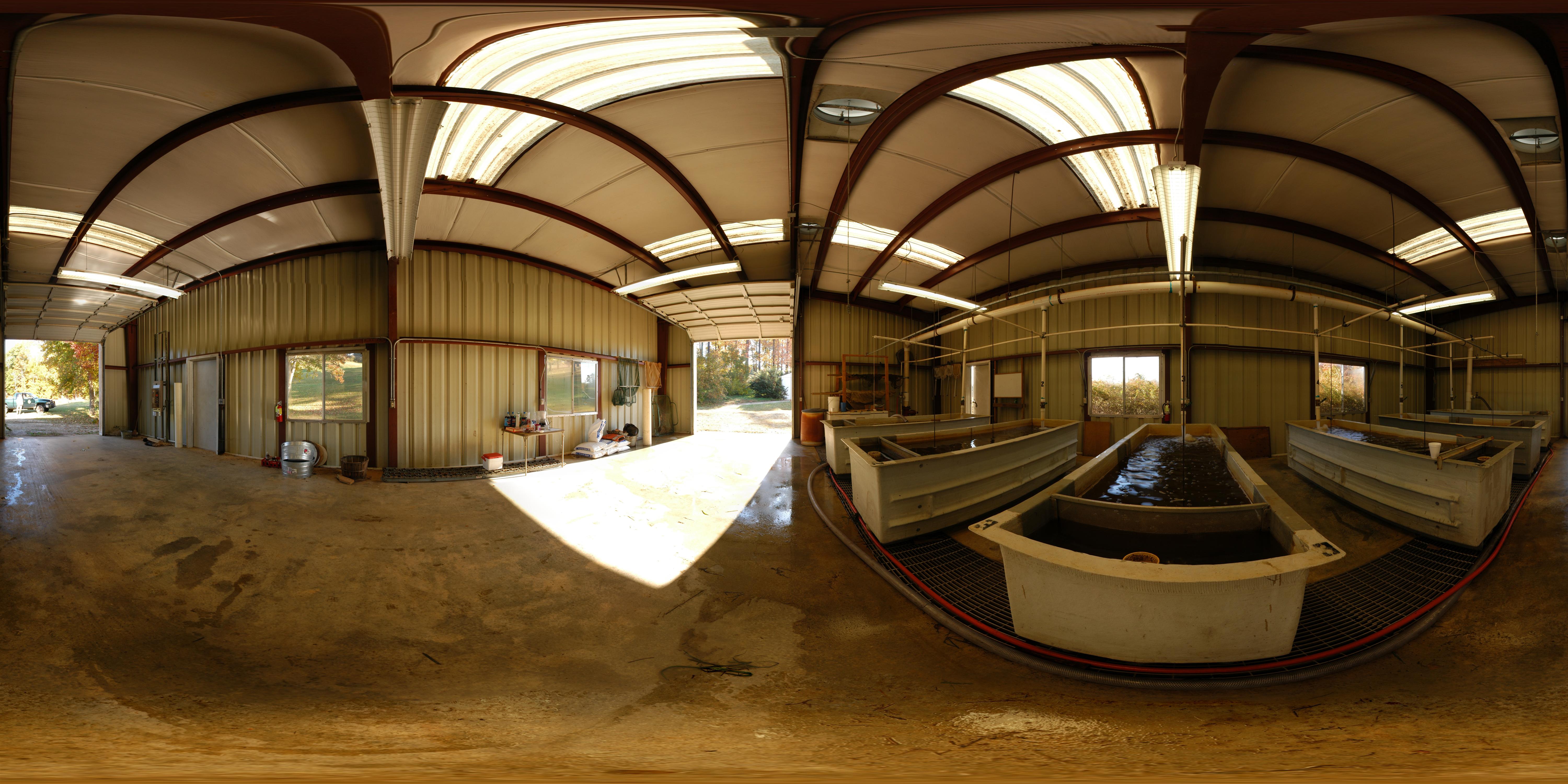
Spring Stevens Fish Hatchery - Fish House

Pilings for railroad Bridge 2 of 3
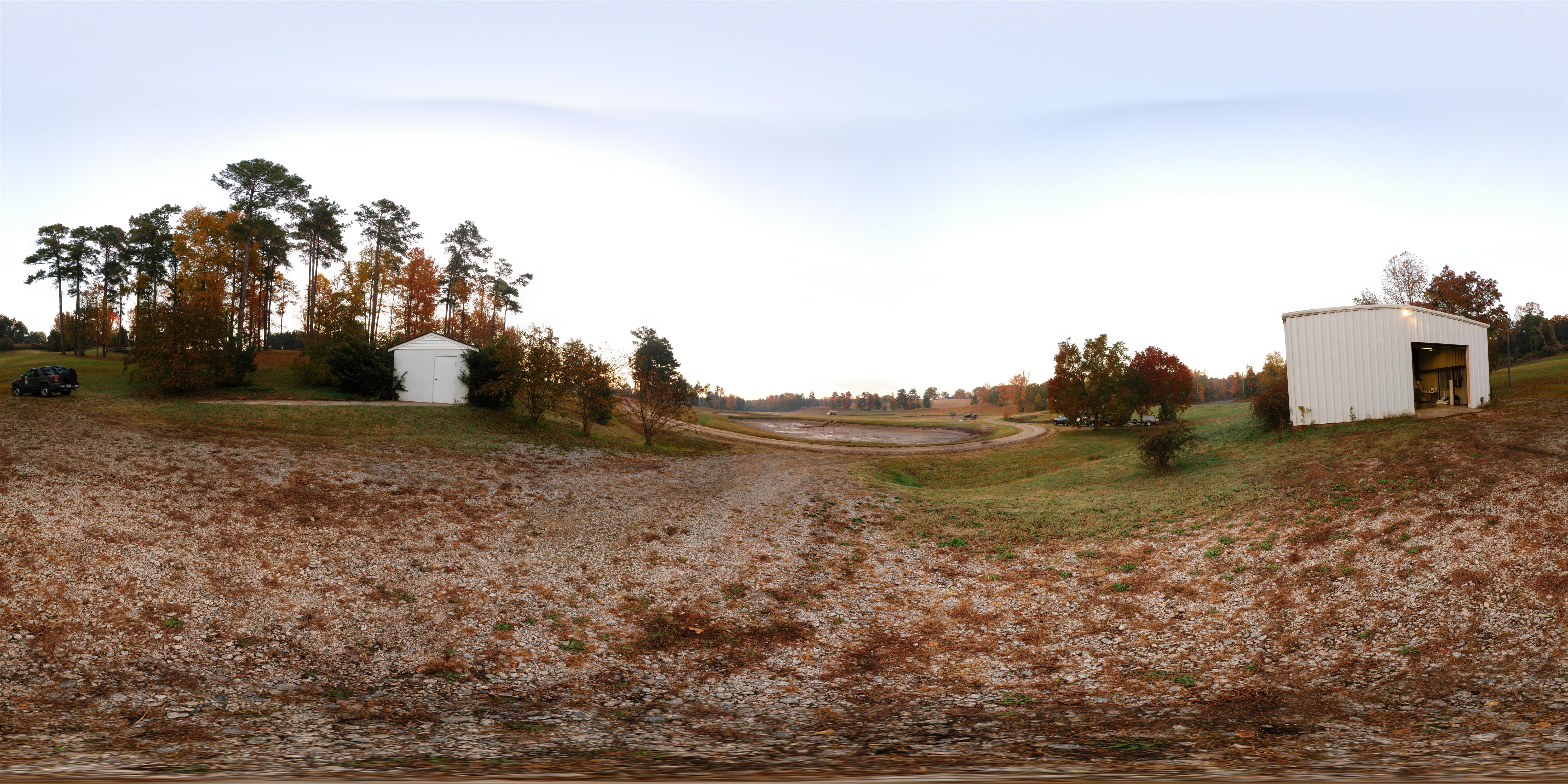
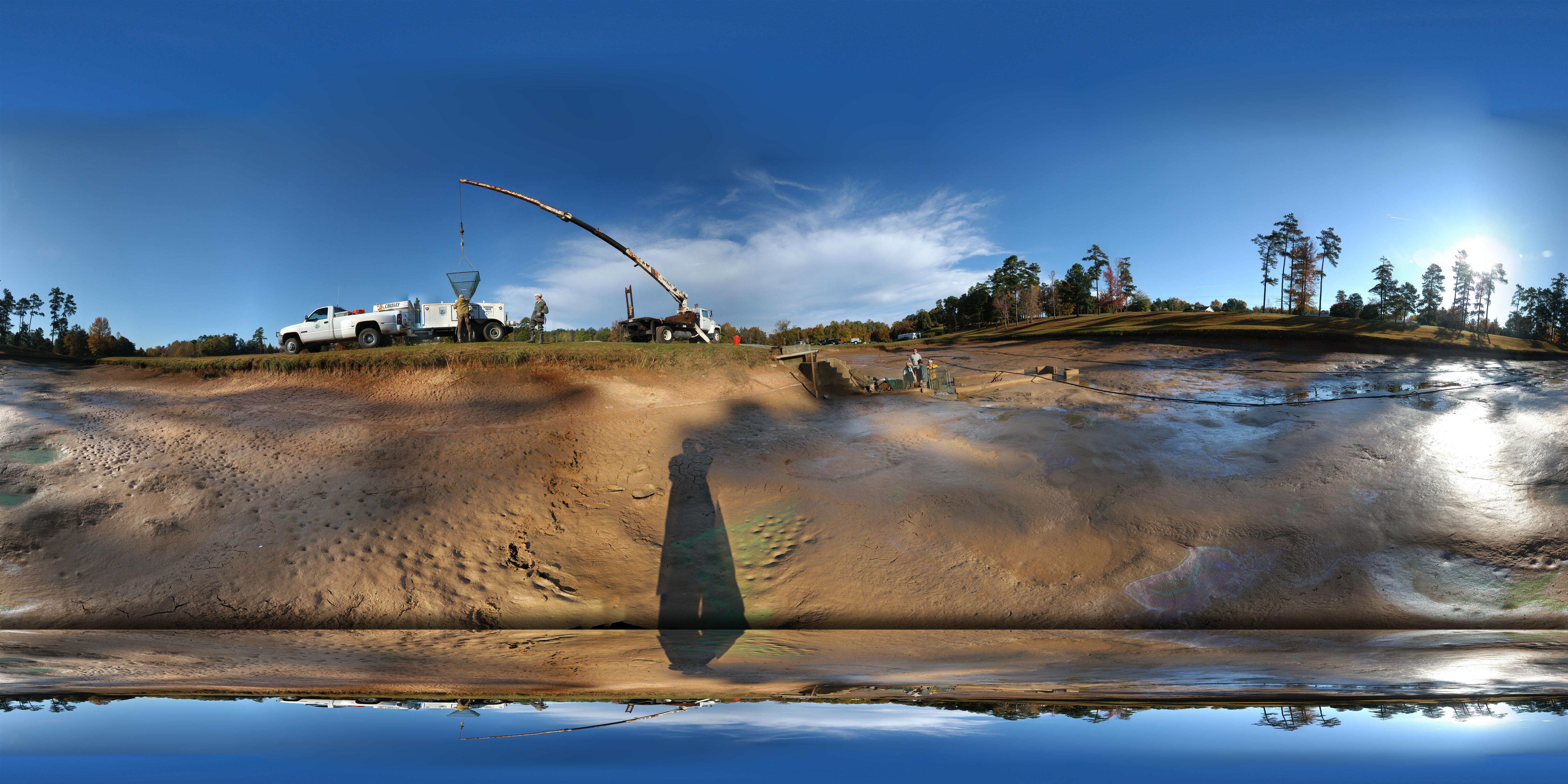
Spring Stevens Fish Hatchery
Abandoned Southern RR

Passing POV: inside the car

Passing POV: outside the car

Roadbed looking north to Westville 3 of 3

Video of Race start

GOOD NIGHT VENUS

Race Start excitement
Spring Stevens Fish Hatchery - 360 panorama
L&C 10 at ADM in Kershaw
L&C 10 at SB65.0 milepost
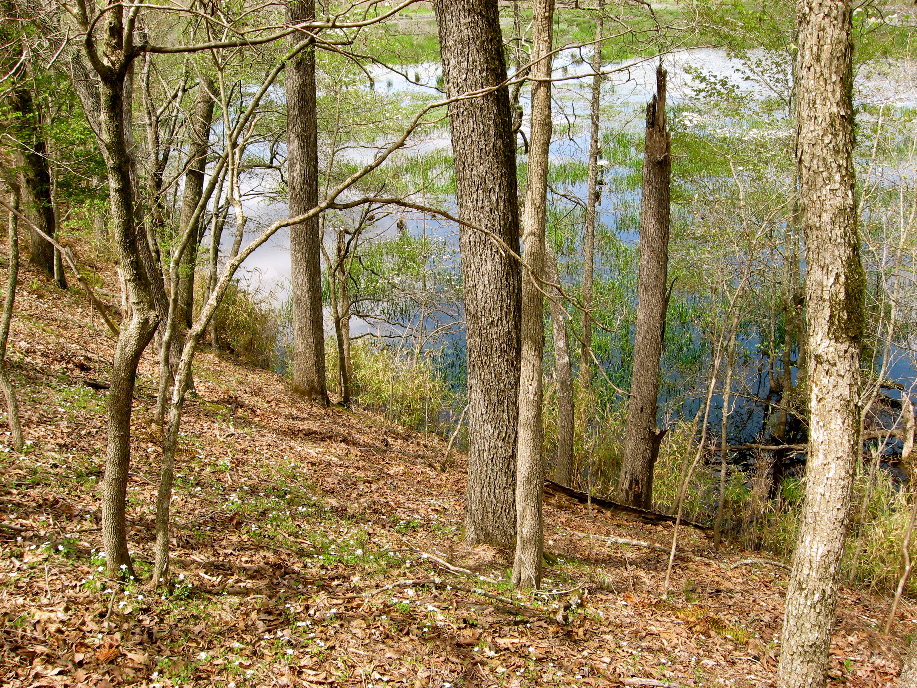
Far Side of Pond
A really big guy...
Topographic Map of Oak Ridge Church Rd, Kershaw, SC, USA
Find elevation by address:

Places near Oak Ridge Church Rd, Kershaw, SC, USA:
Bethune Rd, Kershaw, SC, USA
837 Jones Rd
864 Jones Rd
4250 Roberts Rd
Kershaw
616 W Hilton St
Mount Pisgah
2512 Porter Rd
Kershaw County
2512 Us-1
Cassatt
295 Fox Haven Ln
Heath Springs
State Rd S-28-26, Cassatt, SC, USA
Taxahaw Rd, Jefferson, SC, USA
Taxahaw Road
Dick Hill Rd, Heath Springs, SC, USA
Bethune
Camden, SC, USA
Jefferson
Recent Searches:
- Elevation of Corso Fratelli Cairoli, 35, Macerata MC, Italy
- Elevation of Tallevast Rd, Sarasota, FL, USA
- Elevation of 4th St E, Sonoma, CA, USA
- Elevation of Black Hollow Rd, Pennsdale, PA, USA
- Elevation of Oakland Ave, Williamsport, PA, USA
- Elevation of Pedrógão Grande, Portugal
- Elevation of Klee Dr, Martinsburg, WV, USA
- Elevation of Via Roma, Pieranica CR, Italy
- Elevation of Tavkvetili Mountain, Georgia
- Elevation of Hartfords Bluff Cir, Mt Pleasant, SC, USA