Elevation of Norton County, KS, USA
Location: United States > Kansas >
Longitude: -99.991225
Latitude: 39.7959566
Elevation: 707m / 2320feet
Barometric Pressure: 93KPa
Elevation Map:
Satellite Map:
Related Photos:
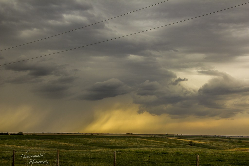
050716 - On my way to Wray Colorado

050716 - On my way to Wray Colorado

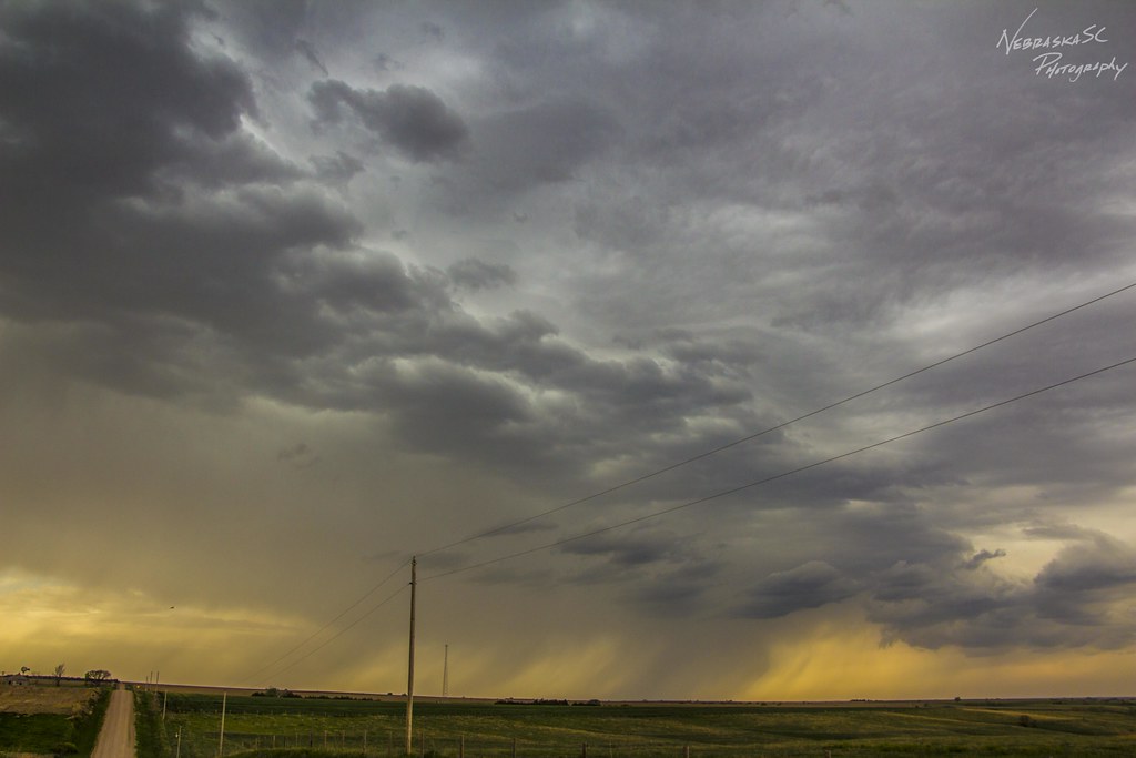
050716 - On my way to Wray Colorado (B&W)
050716 - On my way to Wray Colorado

050716 - On my way to Wray Colorado

050716 - On my way to Wray Colorado
Topographic Map of Norton County, KS, USA
Find elevation by address:

Places in Norton County, KS, USA:
Places near Norton County, KS, USA:
403 W Waverly St
289 W Lincoln St
209 W Lincoln St
16982 Eagles Rd
Highland-district 2
Lenora
Furnas County
Good Samaritan Society – Arapahoe
Decatur County
Bartley
Red Willow County
Willow Grove
307 E 7th St
Mccook
Quincy Ave, Herndon, KS, USA
Herndon
Smith Ave, Elwood, NE, USA
Elwood
Rexford
Main St, Rexford, KS, USA
Recent Searches:
- Elevation of Corso Fratelli Cairoli, 35, Macerata MC, Italy
- Elevation of Tallevast Rd, Sarasota, FL, USA
- Elevation of 4th St E, Sonoma, CA, USA
- Elevation of Black Hollow Rd, Pennsdale, PA, USA
- Elevation of Oakland Ave, Williamsport, PA, USA
- Elevation of Pedrógão Grande, Portugal
- Elevation of Klee Dr, Martinsburg, WV, USA
- Elevation of Via Roma, Pieranica CR, Italy
- Elevation of Tavkvetili Mountain, Georgia
- Elevation of Hartfords Bluff Cir, Mt Pleasant, SC, USA