Elevation of Eagles Rd, Norton, KS, USA
Location: United States > Kansas > Norton County >
Longitude: -99.877208
Latitude: 39.832159
Elevation: 685m / 2247feet
Barometric Pressure: 93KPa
Elevation Map:
Satellite Map:
Related Photos:

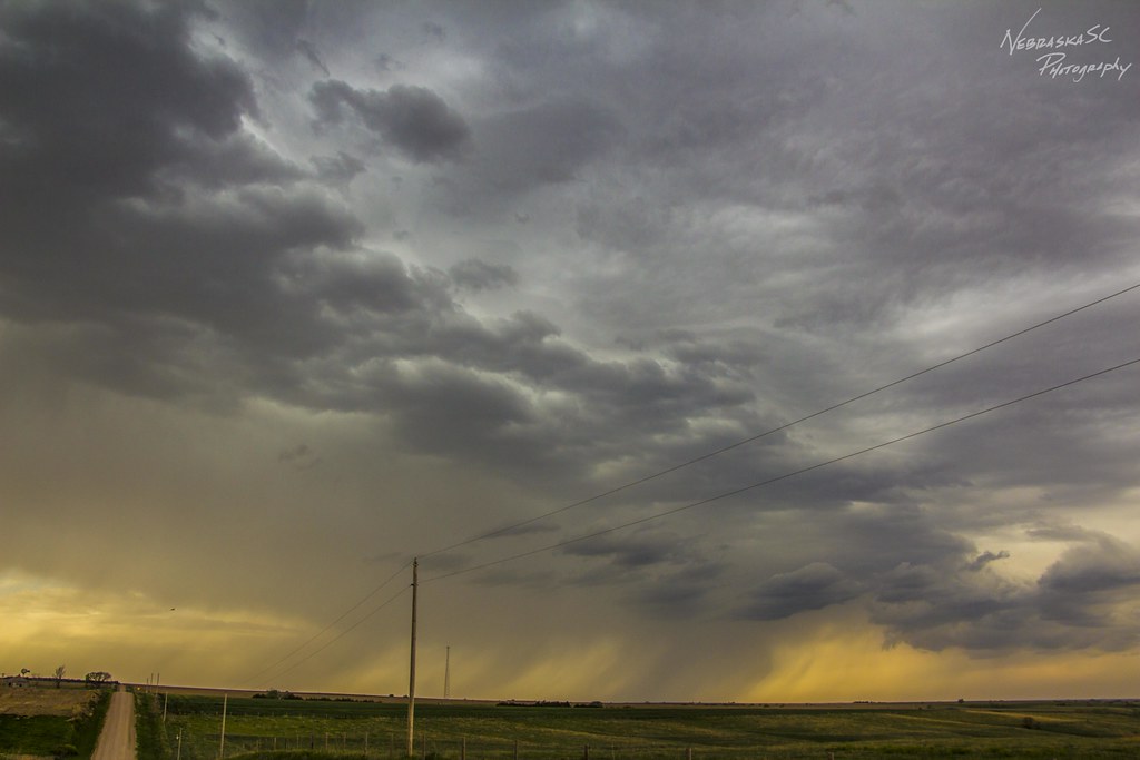
050716 - On my way to Wray Colorado

050716 - On my way to Wray Colorado

050716 - On my way to Wray Colorado
050716 - On my way to Wray Colorado

050716 - On my way to Wray Colorado (B&W)

050716 - On my way to Wray Colorado
Topographic Map of Eagles Rd, Norton, KS, USA
Find elevation by address:

Places near Eagles Rd, Norton, KS, USA:
209 W Lincoln St
289 W Lincoln St
403 W Waverly St
Norton County
Highland-district 2
Lenora
Furnas County
Good Samaritan Society – Arapahoe
Bartley
Decatur County
Smith Ave, Elwood, NE, USA
Elwood
Red Willow County
74441 Middle Canyon Rd
74441 Middle Canyon Rd
74439 Middle Canyon Rd
74441 Middle Canyon Rd
74439 Middle Canyon Rd
Middle Canyon Road
Willow Grove
Recent Searches:
- Elevation of Corso Fratelli Cairoli, 35, Macerata MC, Italy
- Elevation of Tallevast Rd, Sarasota, FL, USA
- Elevation of 4th St E, Sonoma, CA, USA
- Elevation of Black Hollow Rd, Pennsdale, PA, USA
- Elevation of Oakland Ave, Williamsport, PA, USA
- Elevation of Pedrógão Grande, Portugal
- Elevation of Klee Dr, Martinsburg, WV, USA
- Elevation of Via Roma, Pieranica CR, Italy
- Elevation of Tavkvetili Mountain, Georgia
- Elevation of Hartfords Bluff Cir, Mt Pleasant, SC, USA