Elevation of Middle Canyon Rd, Eustis, NE, USA
Location: United States > Nebraska > Frontier County > Fairview > Eustis >
Longitude: -100.04860
Latitude: 40.6203316
Elevation: 802m / 2631feet
Barometric Pressure: 92KPa
Elevation Map:
Satellite Map:
Related Photos:

It's Not Holy In Focus

052916 - Chasing Nebraska Stormscapes (Part 2)

052916 - Chasing Nebraska Stormscapes (Part 2) (Pano)

Sunset Plum Creek Canyon (Explored)

Johnson Sunrise Fusion
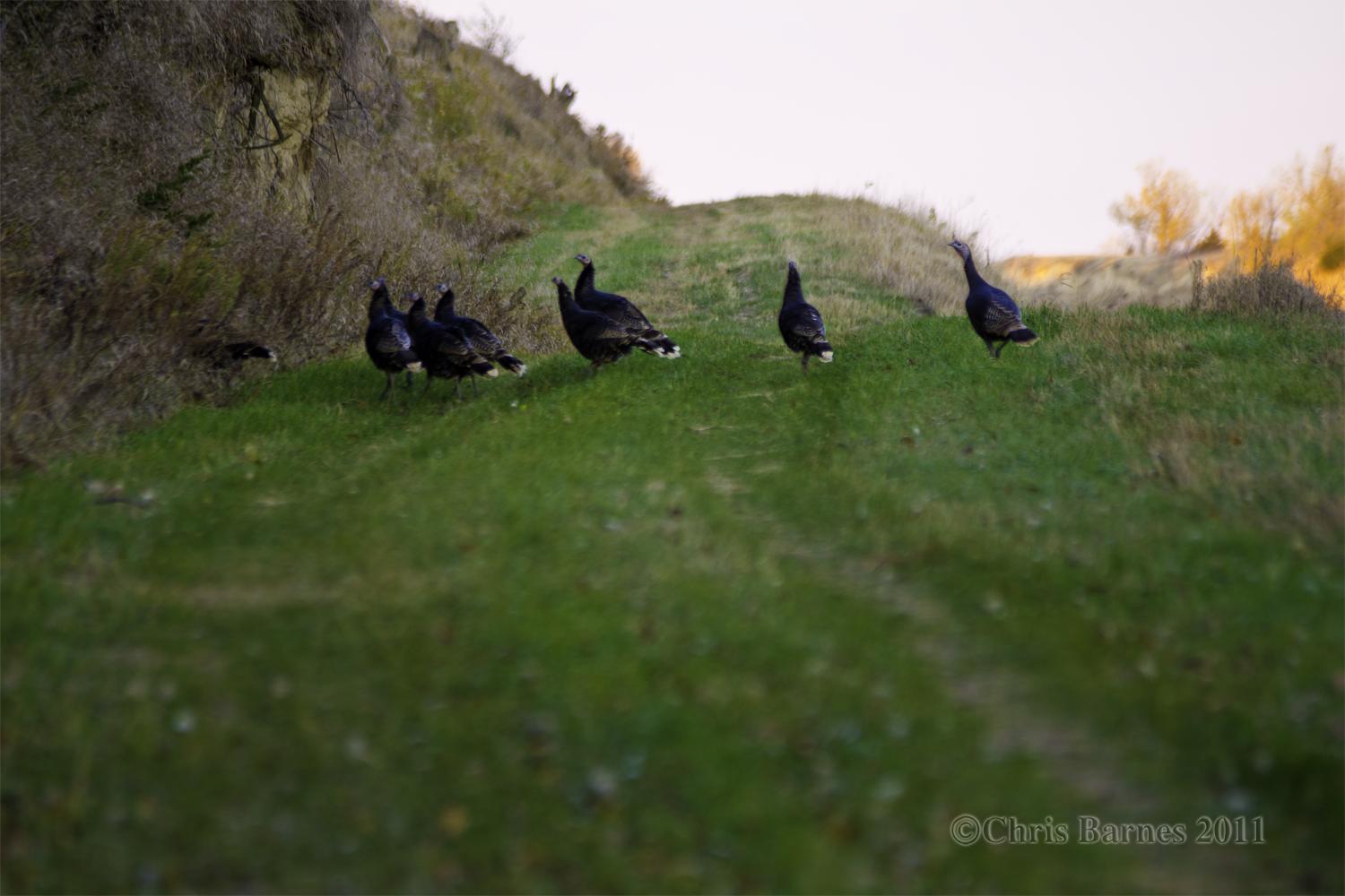
Johnson Turkey Trot

Nebraska vista

Johnson Lake 3
Topographic Map of Middle Canyon Rd, Eustis, NE, USA
Find elevation by address:

Places near Middle Canyon Rd, Eustis, NE, USA:
74441 Middle Canyon Rd
74441 Middle Canyon Rd
74441 Middle Canyon Rd
74439 Middle Canyon Rd
Middle Canyon Road
Fairview
302 N Clay St
Eustis
74441 Ne-21
Ringgold
Elwood
Smith Ave, Elwood, NE, USA
Frontier County
Good Samaritan Society – Arapahoe
Bartley
Nebraska College Of Technical Agriculture
116 Ne-18
Curtis
Furnas County
Red Willow County
Recent Searches:
- Elevation of Corso Fratelli Cairoli, 35, Macerata MC, Italy
- Elevation of Tallevast Rd, Sarasota, FL, USA
- Elevation of 4th St E, Sonoma, CA, USA
- Elevation of Black Hollow Rd, Pennsdale, PA, USA
- Elevation of Oakland Ave, Williamsport, PA, USA
- Elevation of Pedrógão Grande, Portugal
- Elevation of Klee Dr, Martinsburg, WV, USA
- Elevation of Via Roma, Pieranica CR, Italy
- Elevation of Tavkvetili Mountain, Georgia
- Elevation of Hartfords Bluff Cir, Mt Pleasant, SC, USA