Elevation map of Northumberland County, NB, Canada
Location: Canada > New Brunswick >
Longitude: -65.885926
Latitude: 46.9296444
Elevation: 96m / 315feet
Barometric Pressure: 100KPa
Elevation Map:
Satellite Map:
Related Photos:

Bridge 1097-11

Bridge 1097-09

Bridge 1097-17
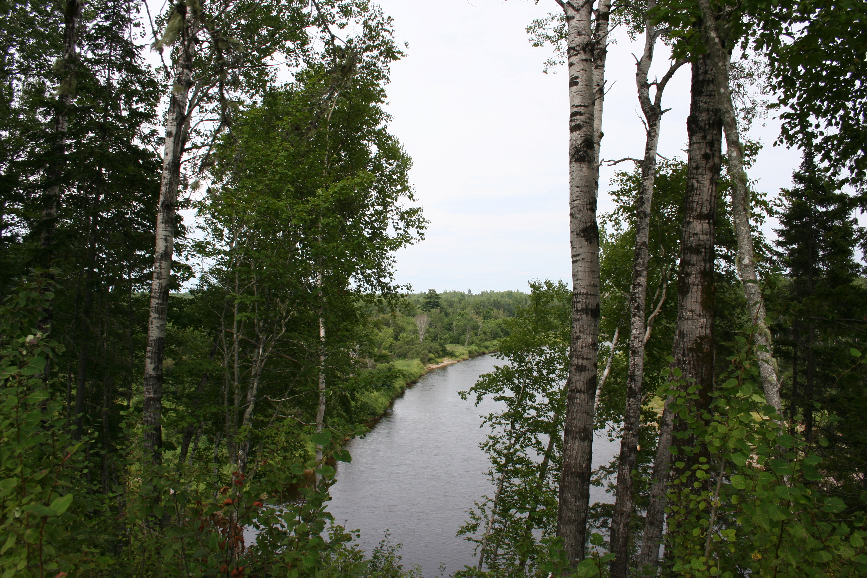
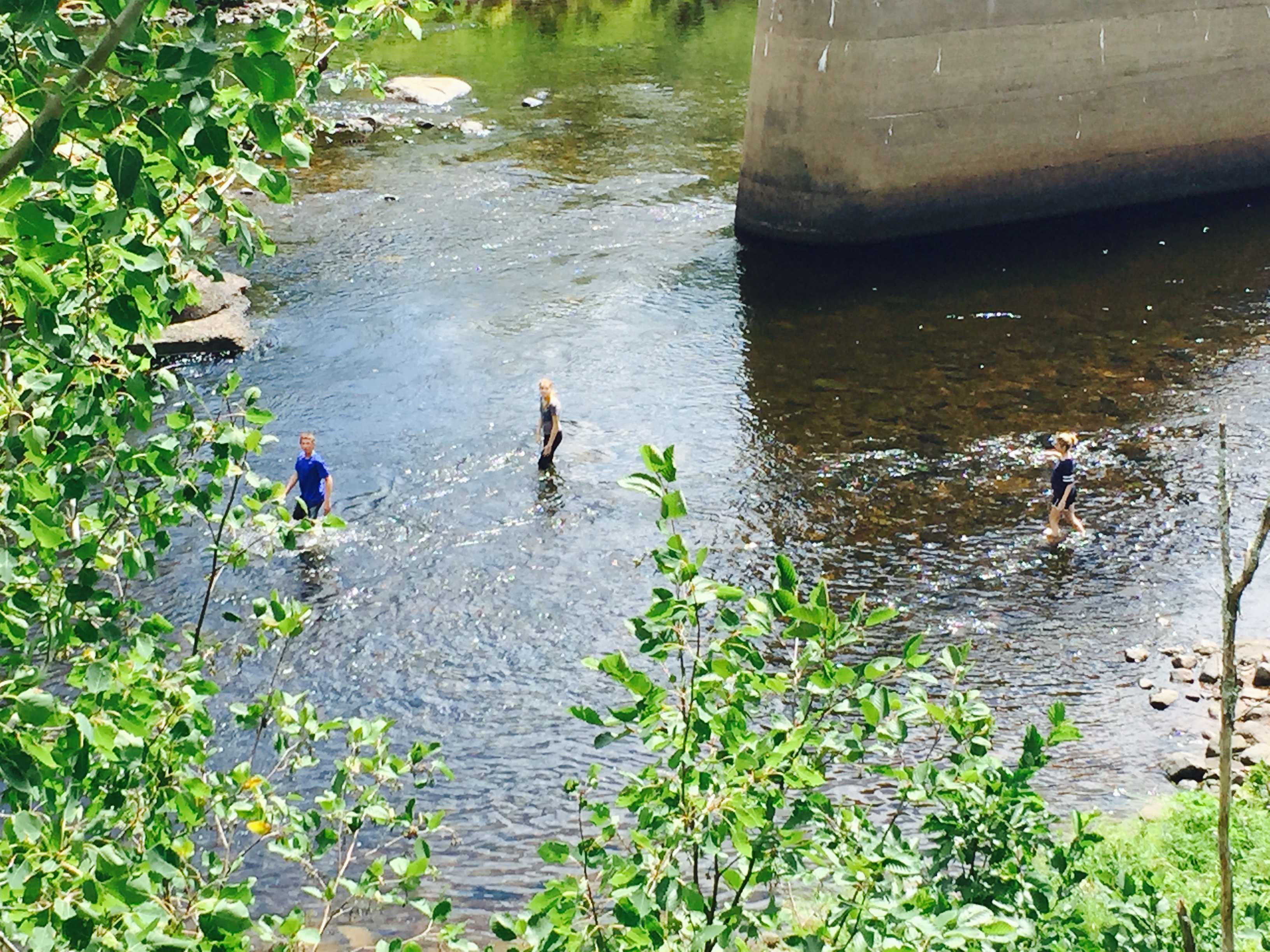
Little Southwest Miramichi River
Little Southwest Miramichi River

Bridge 1097-10

Bridge 1097-12

Bridge 1097-01
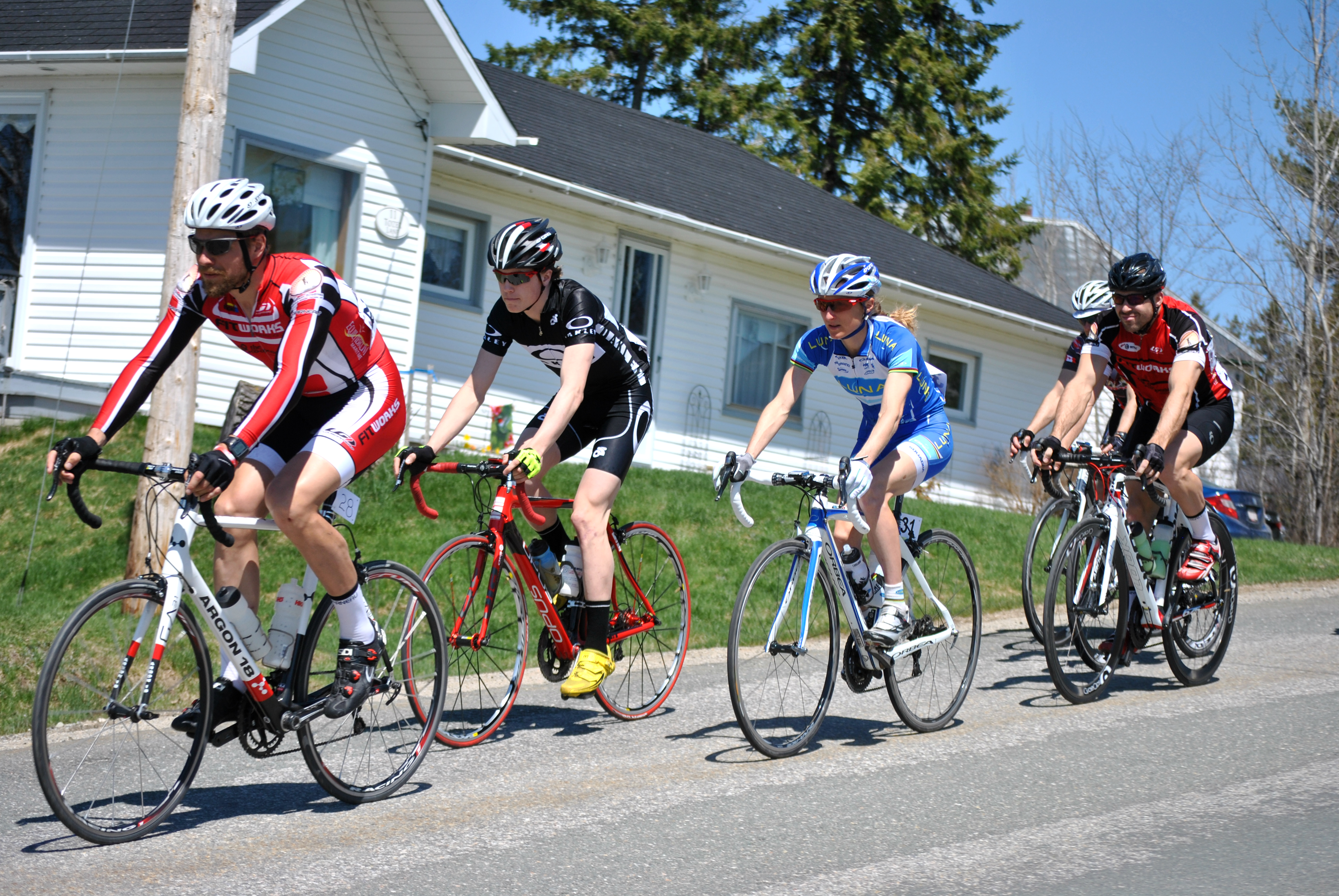
Catharine Pendrel
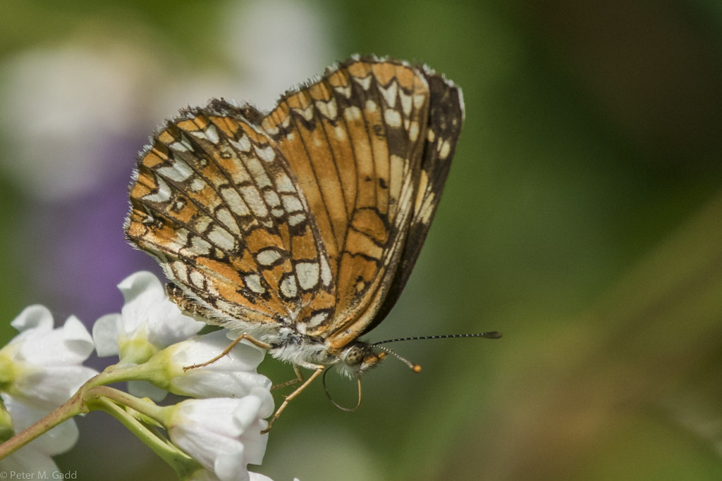
Harris's Checkerspot 201507010 Quarryville Bridge North 20KS89 (2)
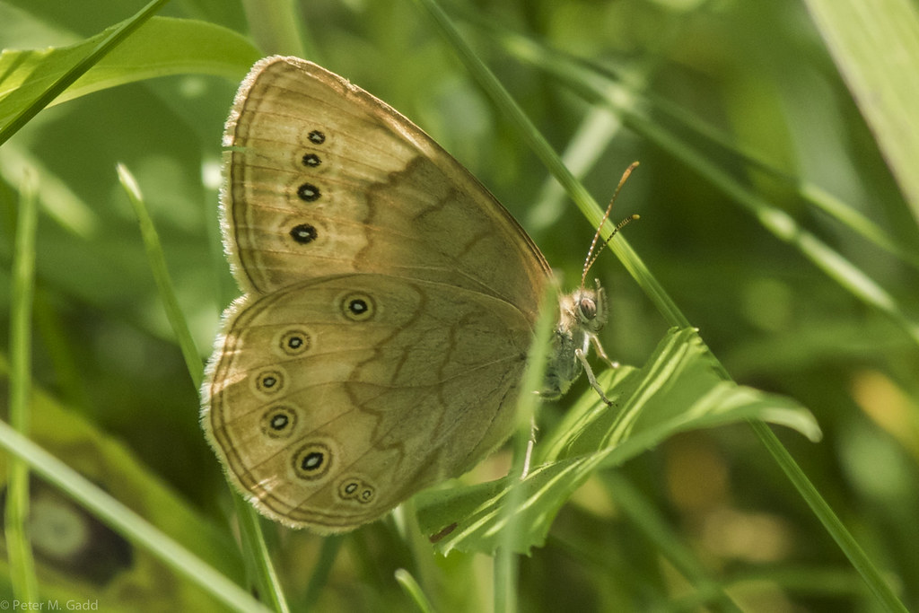
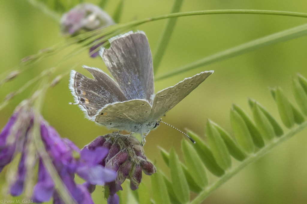
Eyed Brown 20150710 Quarryville Bridge South
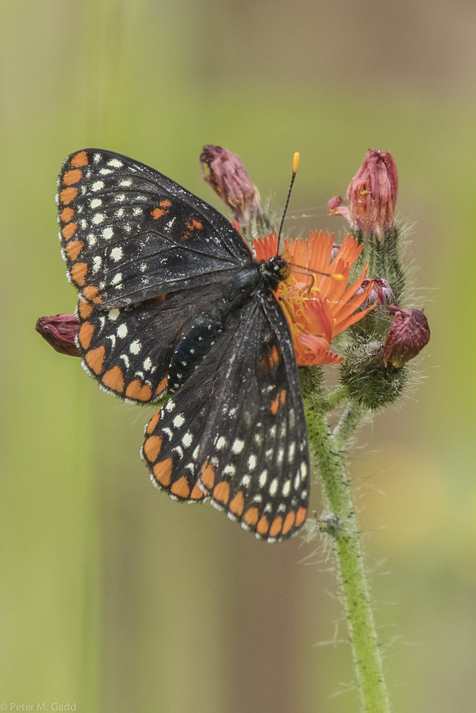
Baltimore Checkerspot 20150701 Whitney Power Line and adjacent road (14)
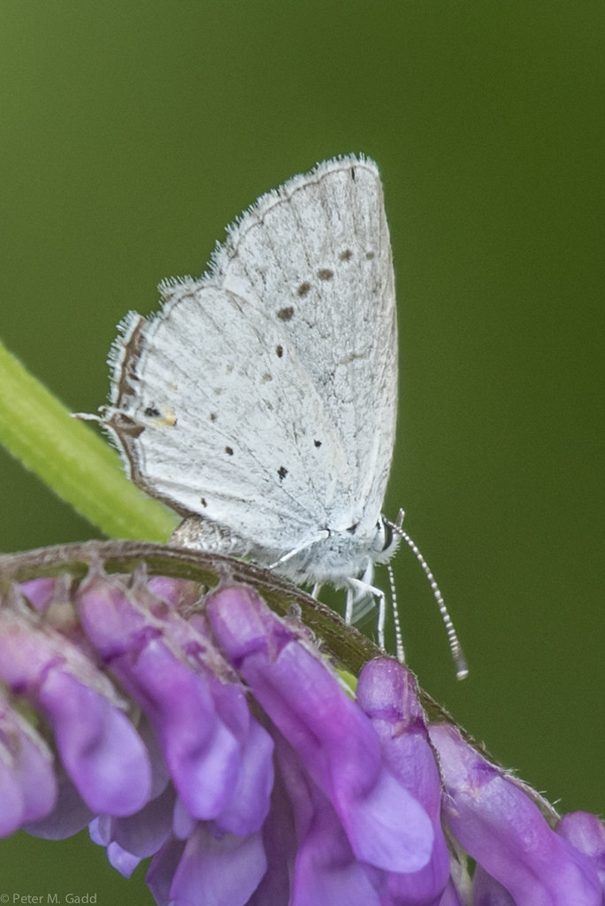
Western Tailed-blue 20150701 Whitney Power Line and adjacent road (39)

European Skipper 20150701 Whitney Power Line and adjacent road (12)
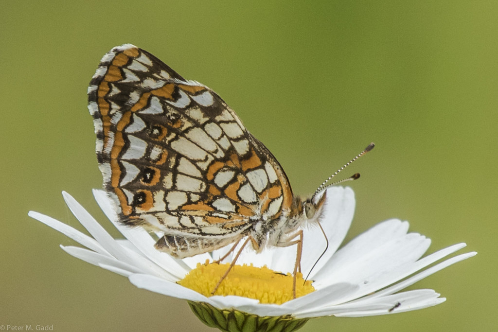
Harris's Checkerspot 20150701 Whitney Power Line and adjacent road (9)
Eastern Tailed-blue 20150701 Whitney Power Line and adjacent road (4)

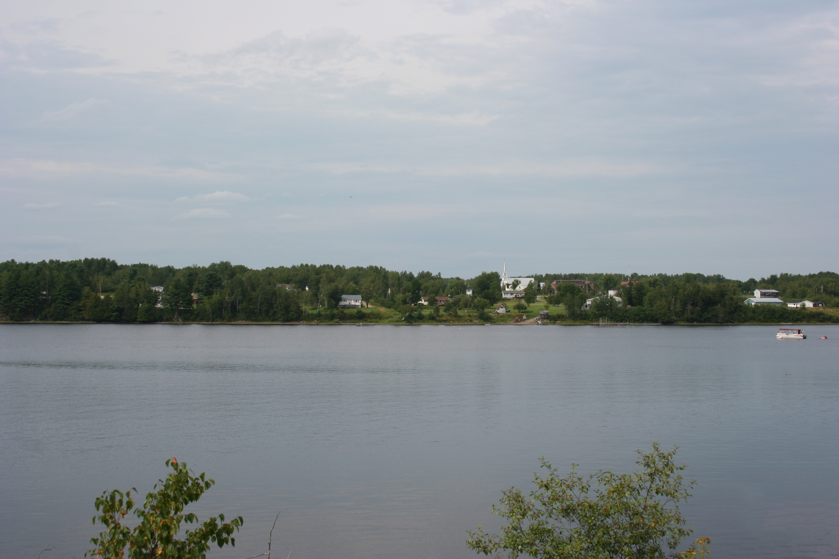
New Brunswick Canada
New Brunswick Canada

New Brunswick Canada

New Brunswick Canada

New Brunswick Canada
New Brunswick , Canada
Topographic Map of Northumberland County, NB, Canada
Find elevation by address:

Places in Northumberland County, NB, Canada:
Miramichi
Alnwick
Glenelg
Southesk
Ludlow
Rogersville
Northesk
Blackville
Rogersville
Hardwicke
Nelson
Neguac
Chatham
Newcastle
Bayview Dr, New Brunswick E9G 2A8, Canada
NB-, Bryenton, NB E1V 5C6, Canada
NB-11, Russellville, NB E1V 7G3, Canada
Main St, Doaktown, NB E9C 1E1, Canada
Auburnville Rd, Bay du Vin, NB E1N 5N7, Canada
Doaktown
Route 8
Blackville
Upper Blackville
Places near Northumberland County, NB, Canada:
Lyttleton
43 Mc Tavish Rd, Lyttleton, NB E9E 1X9, Canada
Halcomb Rd, Halcomb, NB E9E 1W7, Canada
Halcomb
NB-, Southesk, NB E9E, Canada
Cassilis
1220 Nb-420
E9e 2b1
Renous
Gallan's Miramichi River Tubing
60 Alcorn Dr
Blackville
NB-, Bryenton, NB E1V 5C6, Canada
Bartholomew
Bartholomew Rd N, Bartholomew, NB E9B 1K1, Canada
Chaplin Island Road
NB-, Chaplin Island Road, NB E1V, Canada
E9e 2h7
Howard Rd, Keenans, NB E9B 2E8, Canada
E9b 1z5
Recent Searches:
- Elevation of Corso Fratelli Cairoli, 35, Macerata MC, Italy
- Elevation of Tallevast Rd, Sarasota, FL, USA
- Elevation of 4th St E, Sonoma, CA, USA
- Elevation of Black Hollow Rd, Pennsdale, PA, USA
- Elevation of Oakland Ave, Williamsport, PA, USA
- Elevation of Pedrógão Grande, Portugal
- Elevation of Klee Dr, Martinsburg, WV, USA
- Elevation of Via Roma, Pieranica CR, Italy
- Elevation of Tavkvetili Mountain, Georgia
- Elevation of Hartfords Bluff Cir, Mt Pleasant, SC, USA