Elevation of Upper Blackville, NB E9B 1Z5, Canada
Location: Canada > New Brunswick > Northumberland County > Upper Blackville >
Longitude: -65.878230
Latitude: 46.6714107
Elevation: 79m / 259feet
Barometric Pressure: 100KPa
Elevation Map:
Satellite Map:
Related Photos:

L1000076.jpg
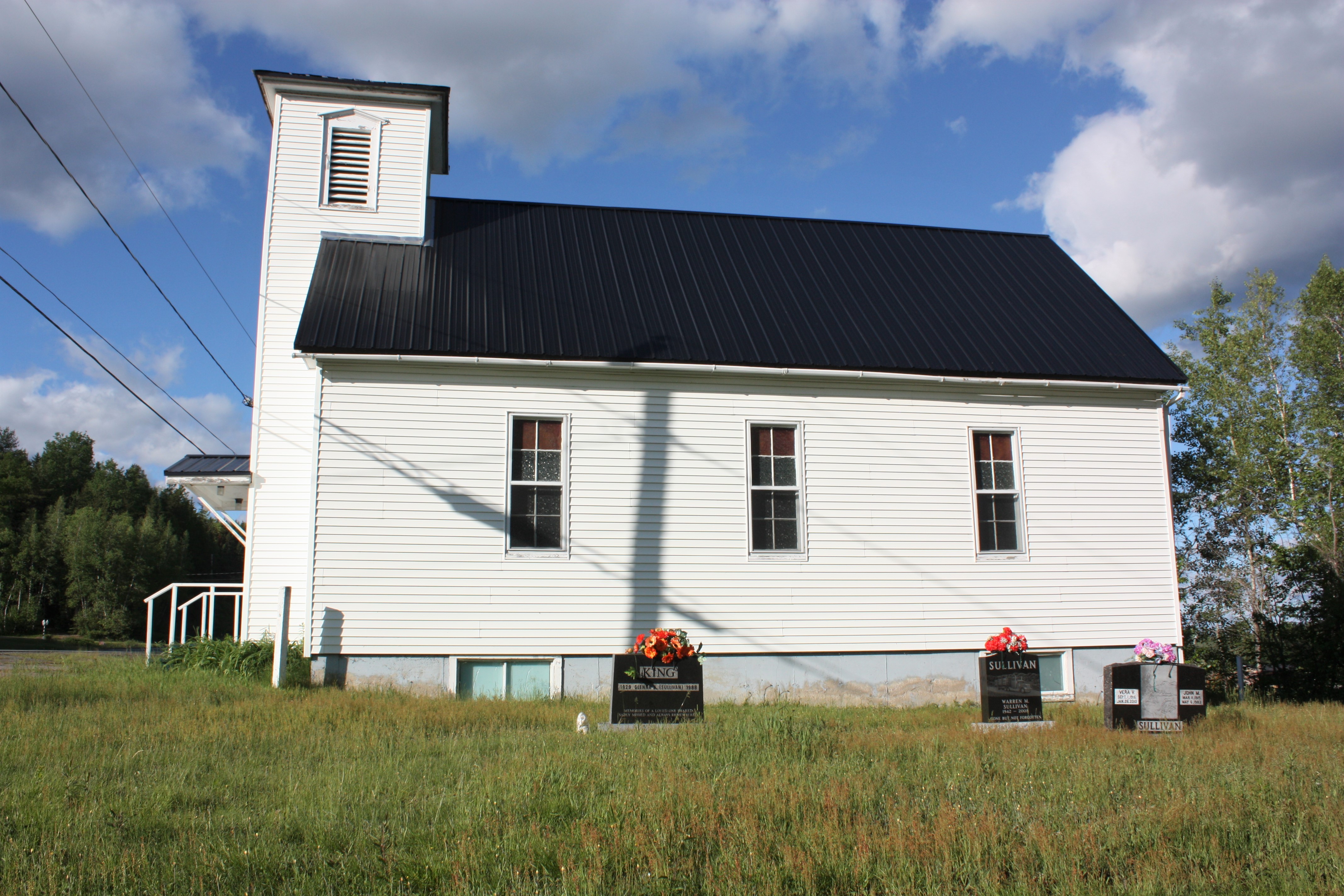
Blissfield Wesleyan Church- Blissfield, New Brunswick
L1000077.jpg
L1000072.jpg
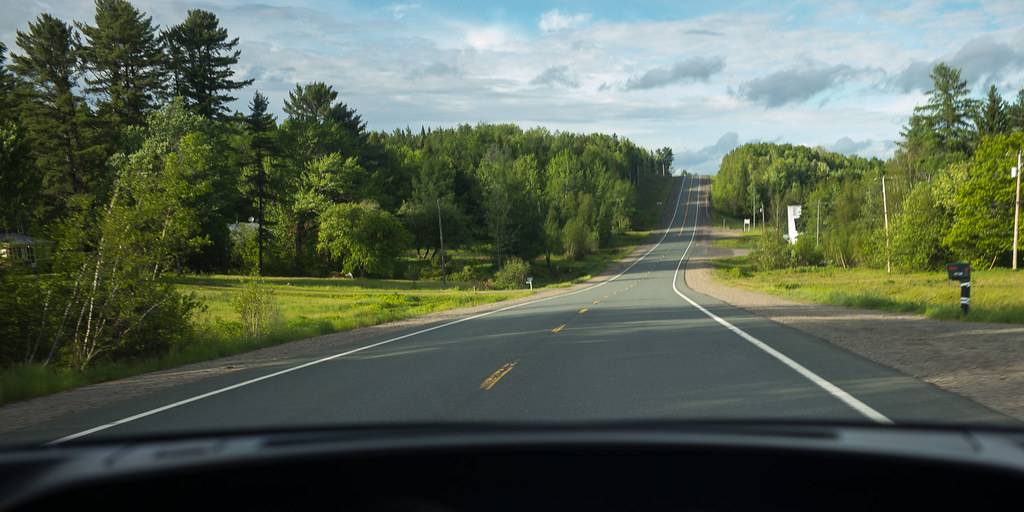
L1000068.jpg

L1000066.jpg
L1000062.jpg
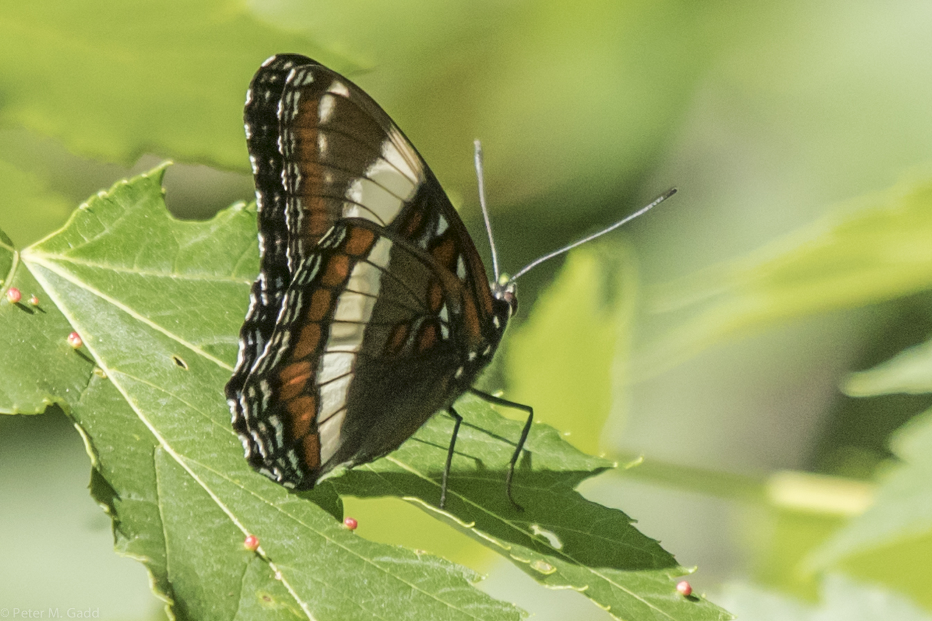
White Admiral 20150627 Hwy 8 Green Bye Rd (1)

3/365
Topographic Map of Upper Blackville, NB E9B 1Z5, Canada
Find elevation by address:

Places near Upper Blackville, NB E9B 1Z5, Canada:
Upper Blackville
Bartholomew
Bartholomew Rd N, Bartholomew, NB E9B 1K1, Canada
60 Alcorn Dr
Blackville
Howard Rd, Keenans, NB E9B 2E8, Canada
Route 8
Blackville
Renous
Gallan's Miramichi River Tubing
NB-, Southesk, NB E9E, Canada
Northumberland County
Lyttleton
Halcomb
Halcomb Rd, Halcomb, NB E9E 1W7, Canada
NB-, Bryenton, NB E1V 5C6, Canada
43 Mc Tavish Rd, Lyttleton, NB E9E 1X9, Canada
E9e 2h7
Cassilis
1220 Nb-420
Recent Searches:
- Elevation of Corso Fratelli Cairoli, 35, Macerata MC, Italy
- Elevation of Tallevast Rd, Sarasota, FL, USA
- Elevation of 4th St E, Sonoma, CA, USA
- Elevation of Black Hollow Rd, Pennsdale, PA, USA
- Elevation of Oakland Ave, Williamsport, PA, USA
- Elevation of Pedrógão Grande, Portugal
- Elevation of Klee Dr, Martinsburg, WV, USA
- Elevation of Via Roma, Pieranica CR, Italy
- Elevation of Tavkvetili Mountain, Georgia
- Elevation of Hartfords Bluff Cir, Mt Pleasant, SC, USA