Elevation map of Northland, New Zealand
Location: New Zealand >
Longitude: 173.762405
Latitude: -35.579546
Elevation: 268m / 879feet
Barometric Pressure: 98KPa
Elevation Map:
Satellite Map:
Related Photos:
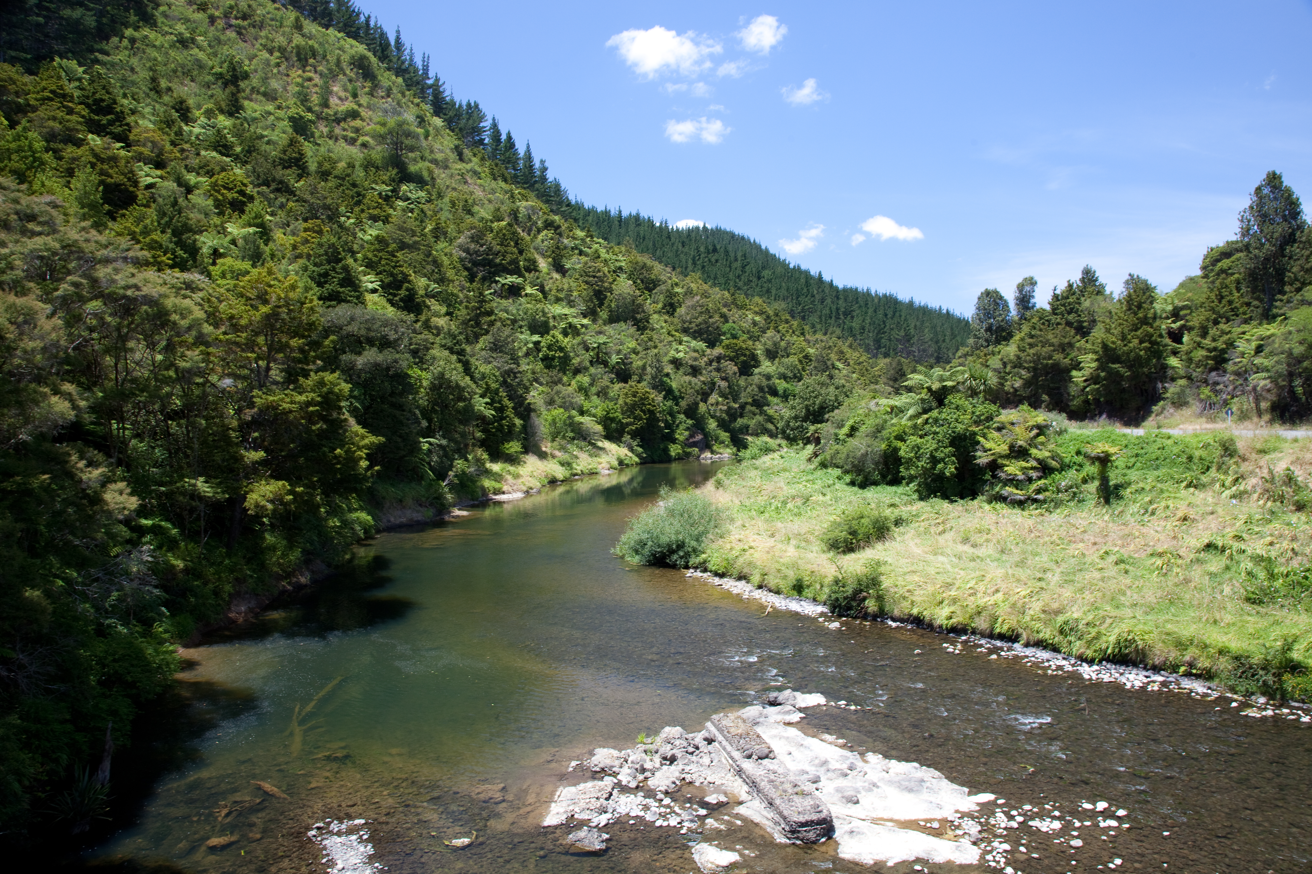
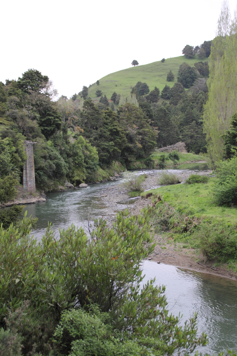
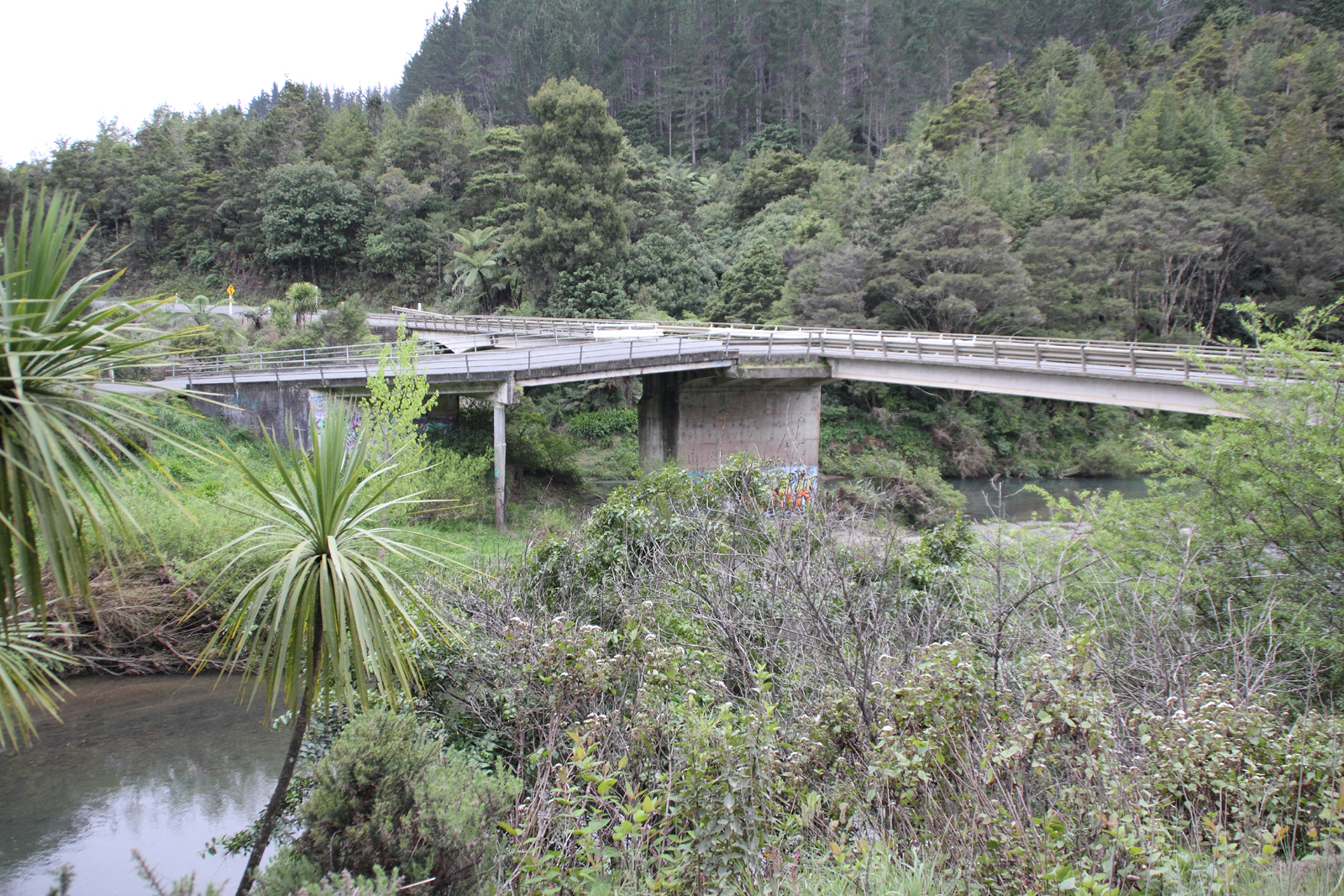
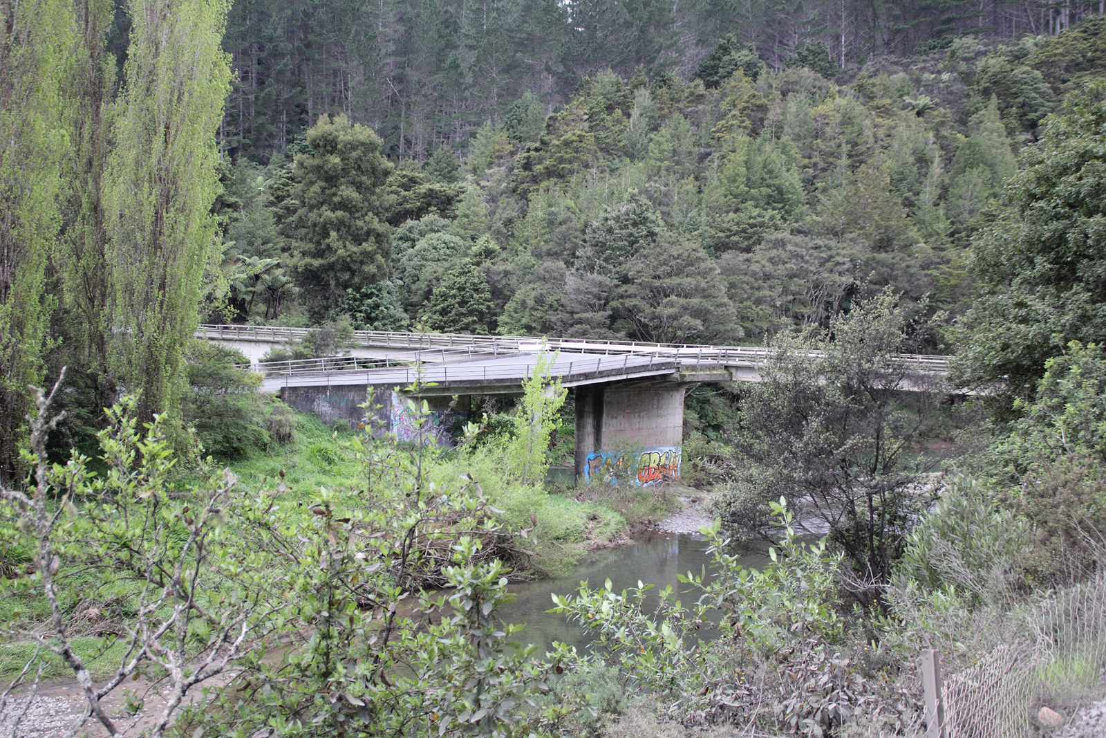
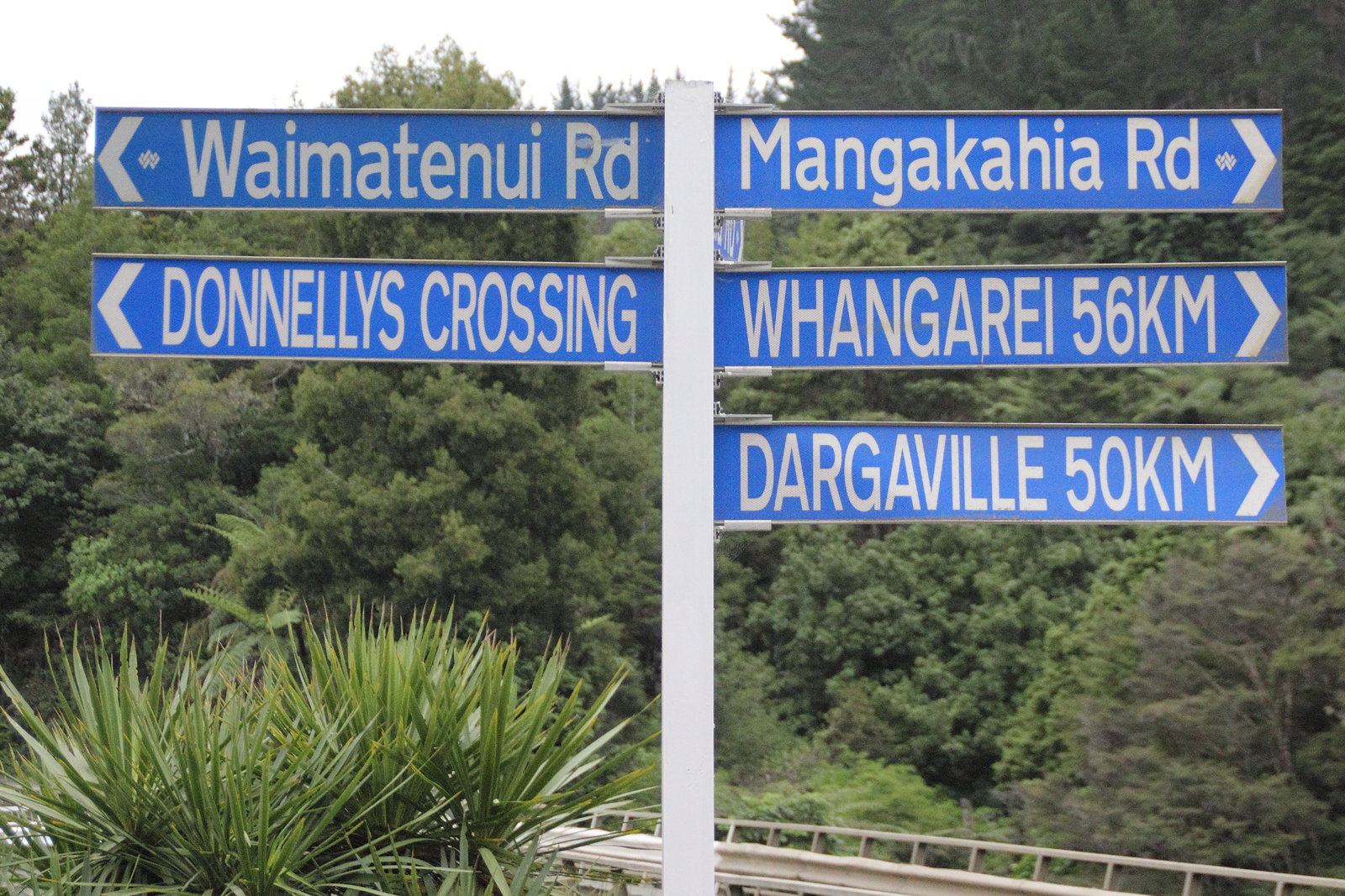
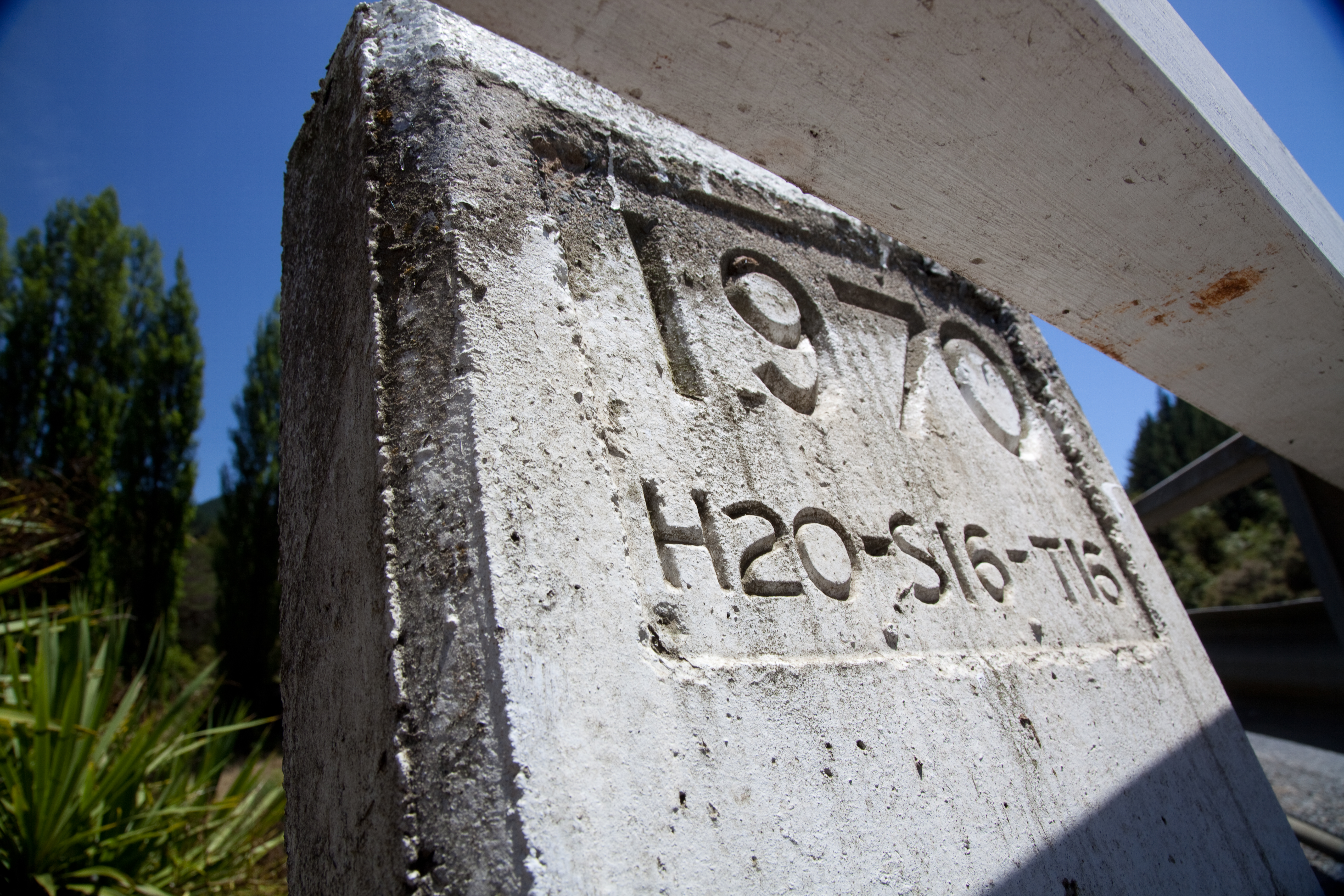
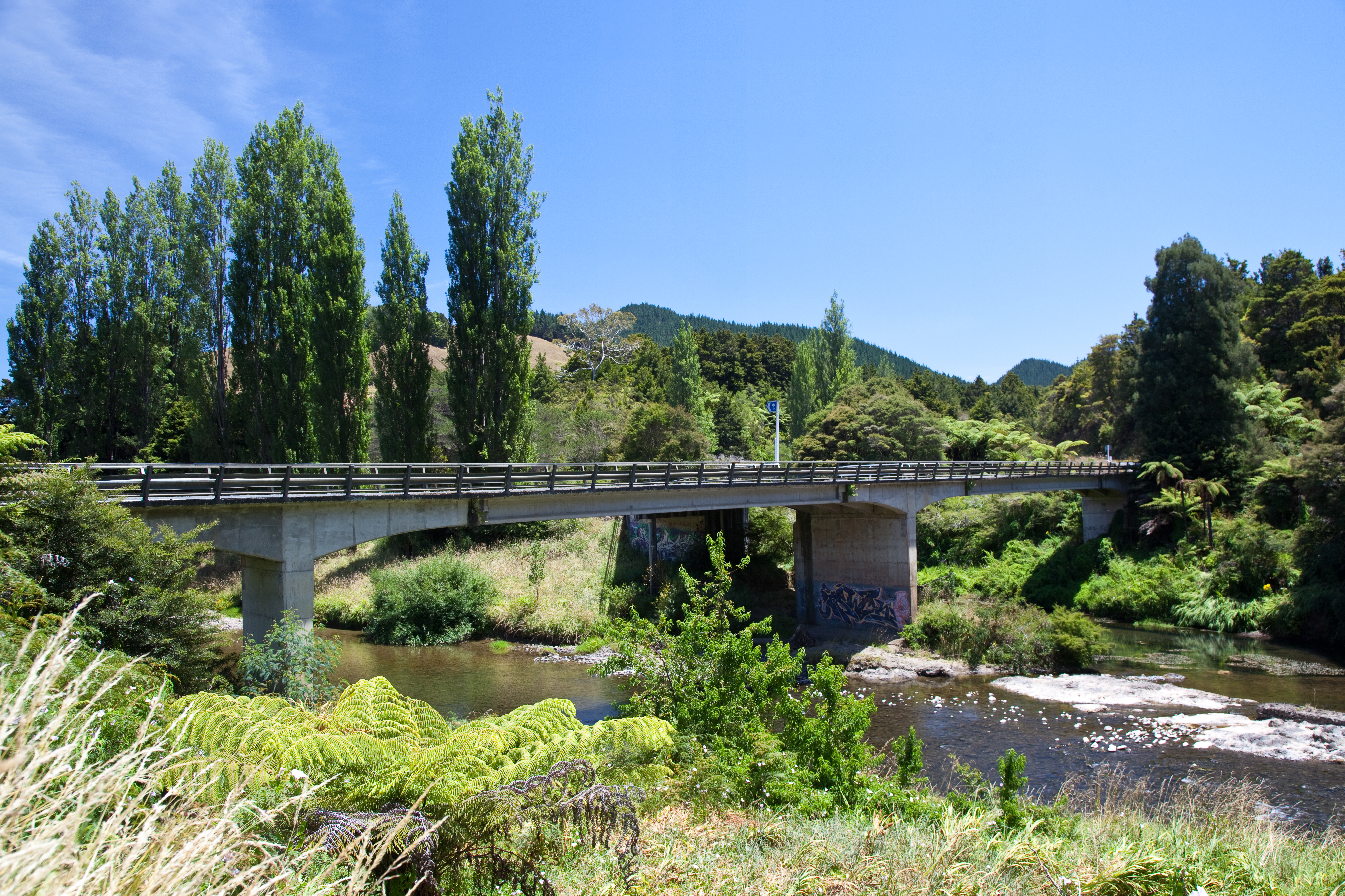
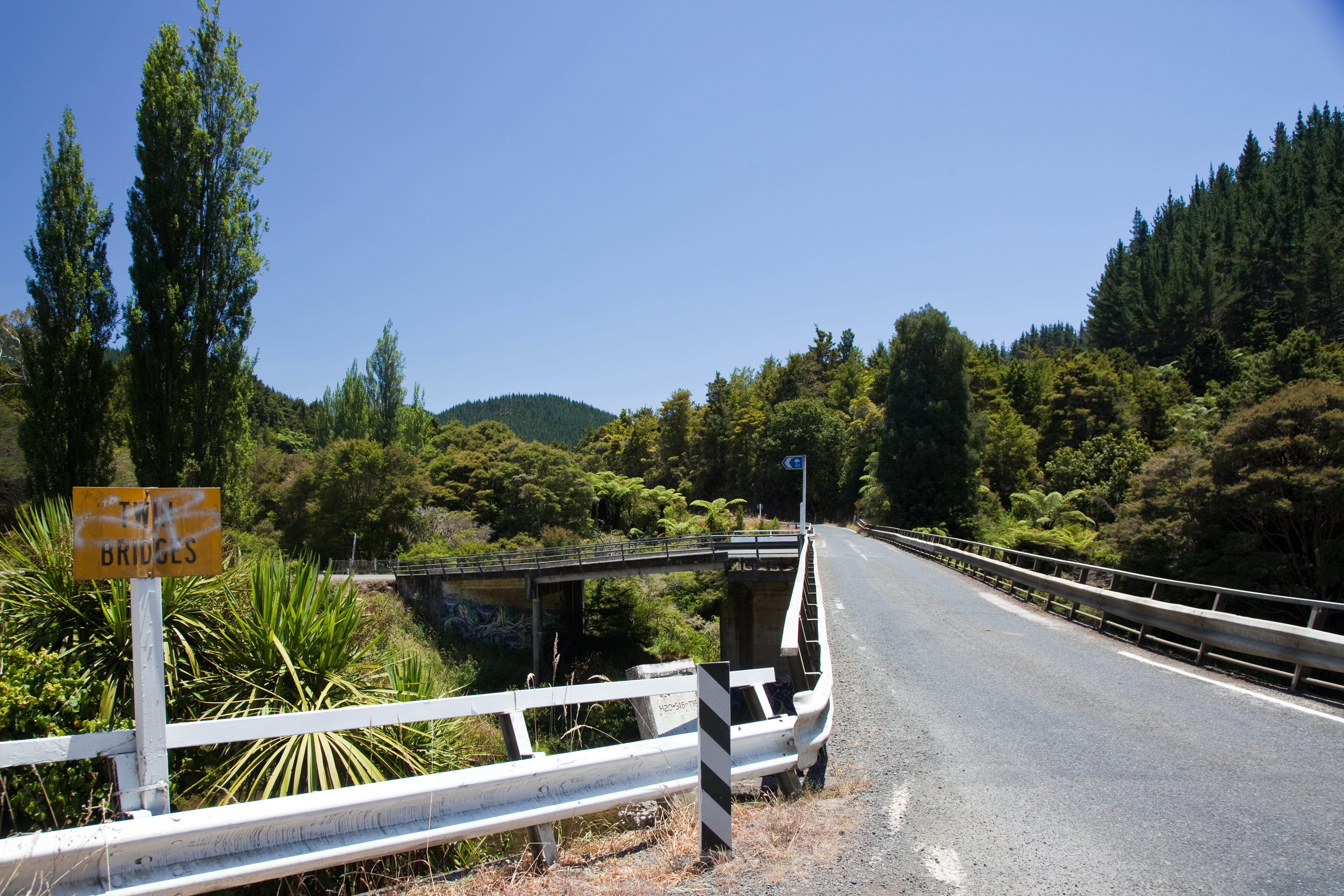
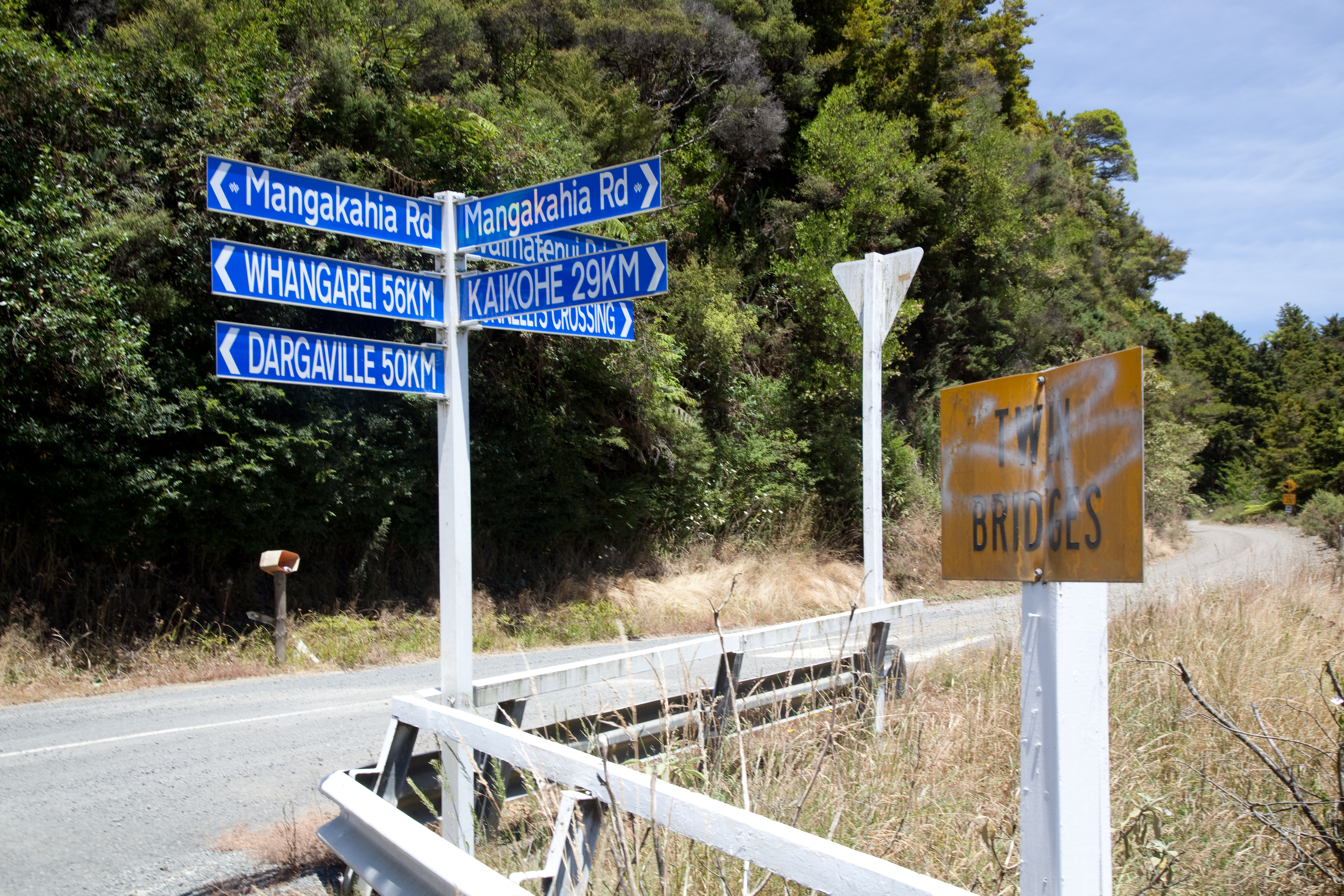
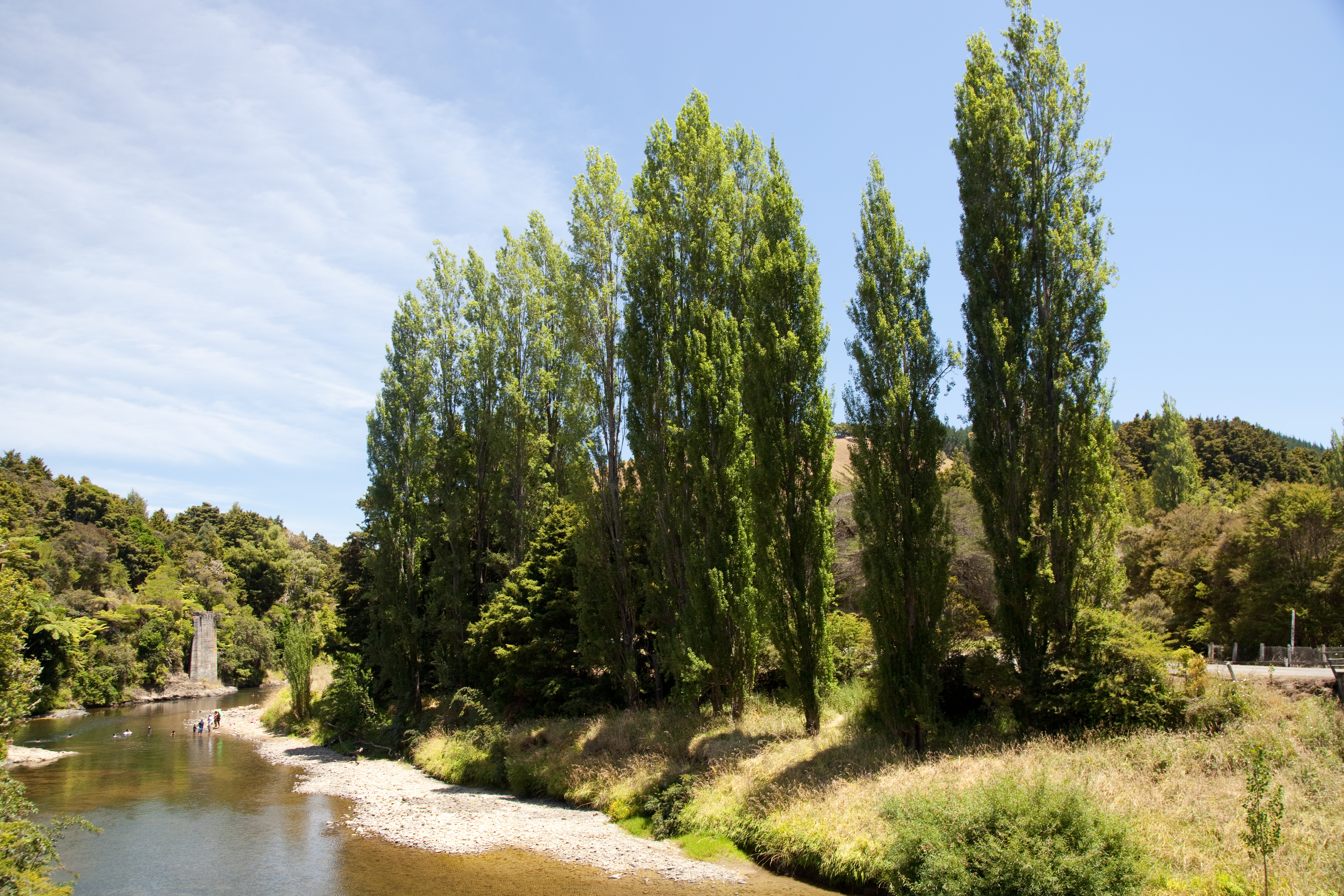
Twin Bridges
Twin Bridges_1335
Twin Bridges_1333
Twin Bridges_1339
Twin Bridges_1341

Thei?

Weer verder door het bos
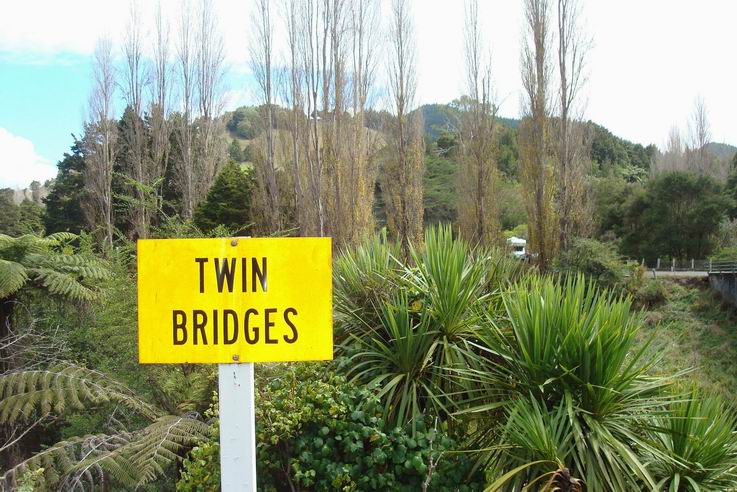
Twin Bridges

Solar Panels10amp-b
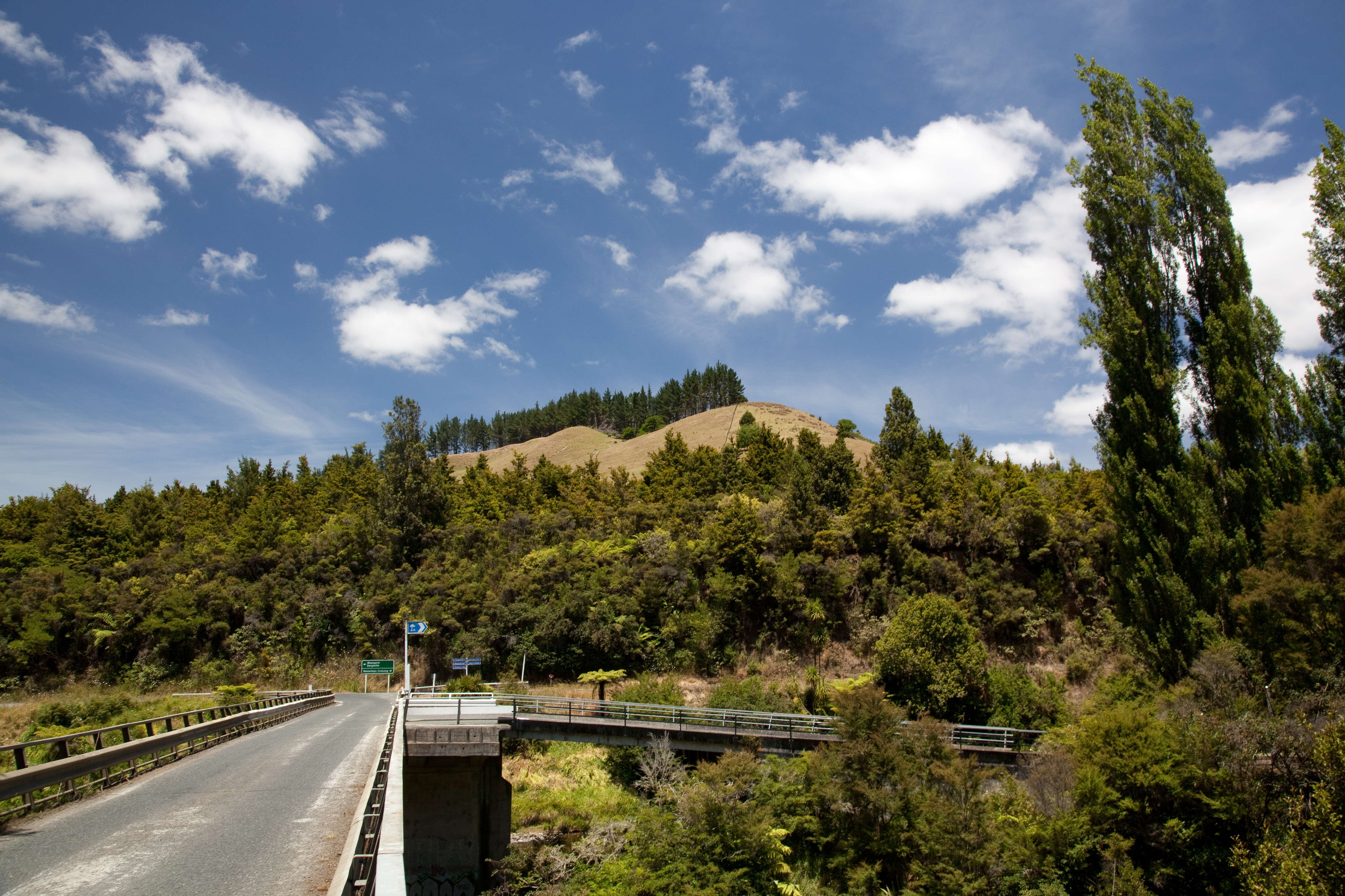
Twin Bridges
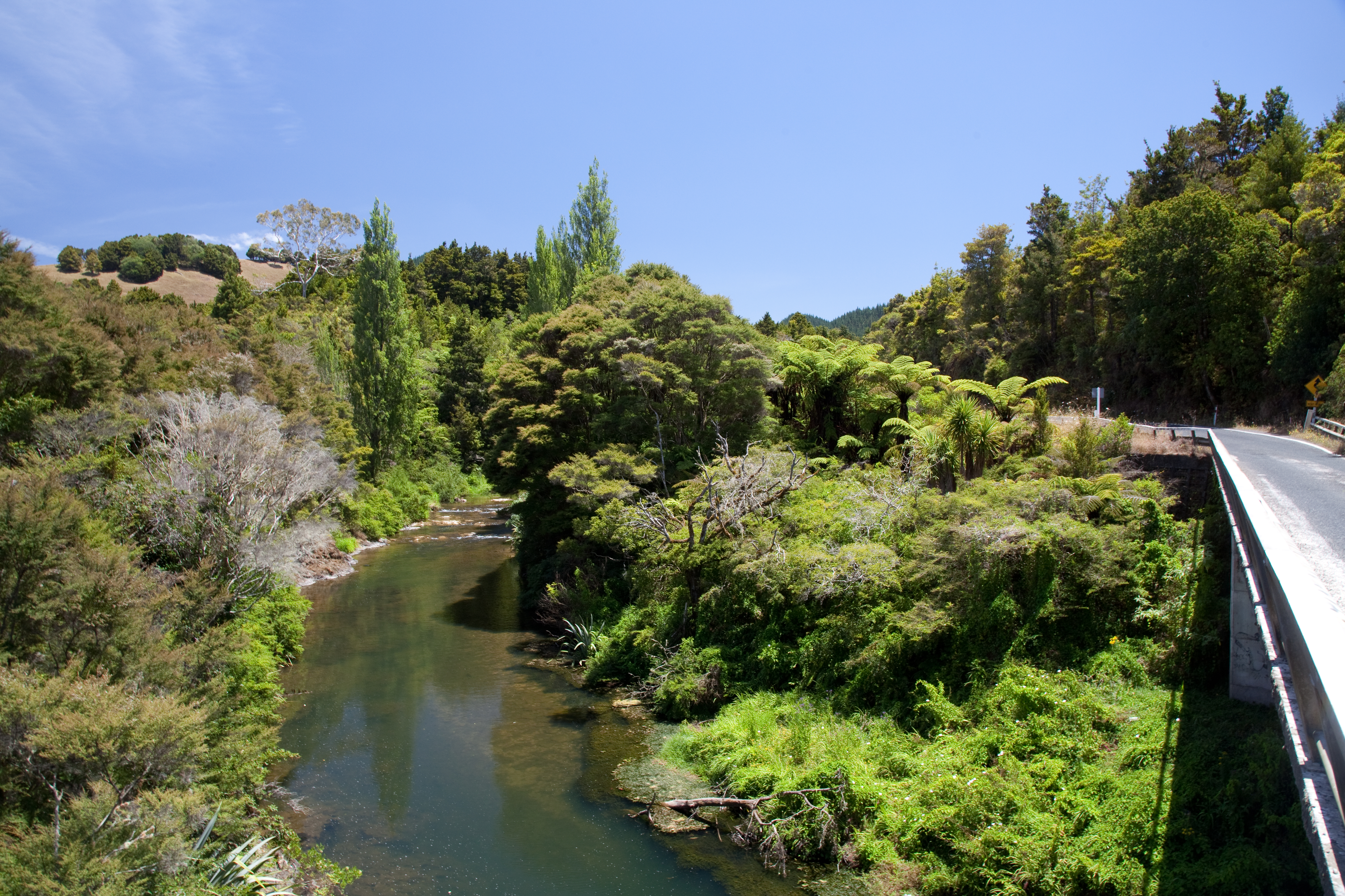
Twin Bridges
Twin Bridges
Twin Bridges
Twin Bridges
Twin Bridges
Twin Bridges
Topographic Map of Northland, New Zealand
Find elevation by address:

Places in Northland, New Zealand:
Kerikeri
Whangarei District
Far North District
Okaihau
Kaipara District
Waimamaku
Kaitaia
Ahipara
Ninety Mile Beach
Waipoua Forest
Kaiwaka
Kaeo
Mangawhai
Matauri Bay
Brewer Road
Paradise Bay (oneura Bay)
Kauri
Whangarei Heads
Ruakaka
Waipoua Kauri Forest
Tamaterau
Kohukohu
Oue
Parua Bay
Waimate North
Russell
Nukutawhiti
Matapouri
Places near Northland, New Zealand:
929 Waimatenui Road
Nukutawhiti
Waipoua Forest
Waipoua Forest Scenic Lookout
Waipoua Kauri Forest
200 Imms Rd
Tāne Mahuta
Waipoua Forest
6 Michie St
Okaihau
247 Showground Road
294 Showground Road
296 Showground Road
Waimamaku
Waimate North
Oue
156 West Coast Road
Kohukohu
509 Opara Road
Brewer Road
Recent Searches:
- Elevation of Corso Fratelli Cairoli, 35, Macerata MC, Italy
- Elevation of Tallevast Rd, Sarasota, FL, USA
- Elevation of 4th St E, Sonoma, CA, USA
- Elevation of Black Hollow Rd, Pennsdale, PA, USA
- Elevation of Oakland Ave, Williamsport, PA, USA
- Elevation of Pedrógão Grande, Portugal
- Elevation of Klee Dr, Martinsburg, WV, USA
- Elevation of Via Roma, Pieranica CR, Italy
- Elevation of Tavkvetili Mountain, Georgia
- Elevation of Hartfords Bluff Cir, Mt Pleasant, SC, USA