Elevation of Imms Rd, Okaihau, New Zealand
Location: New Zealand > Northland > Okaihau >
Longitude: 173.751612
Latitude: -35.348381
Elevation: 250m / 820feet
Barometric Pressure: 98KPa
Elevation Map:
Satellite Map:
Related Photos:

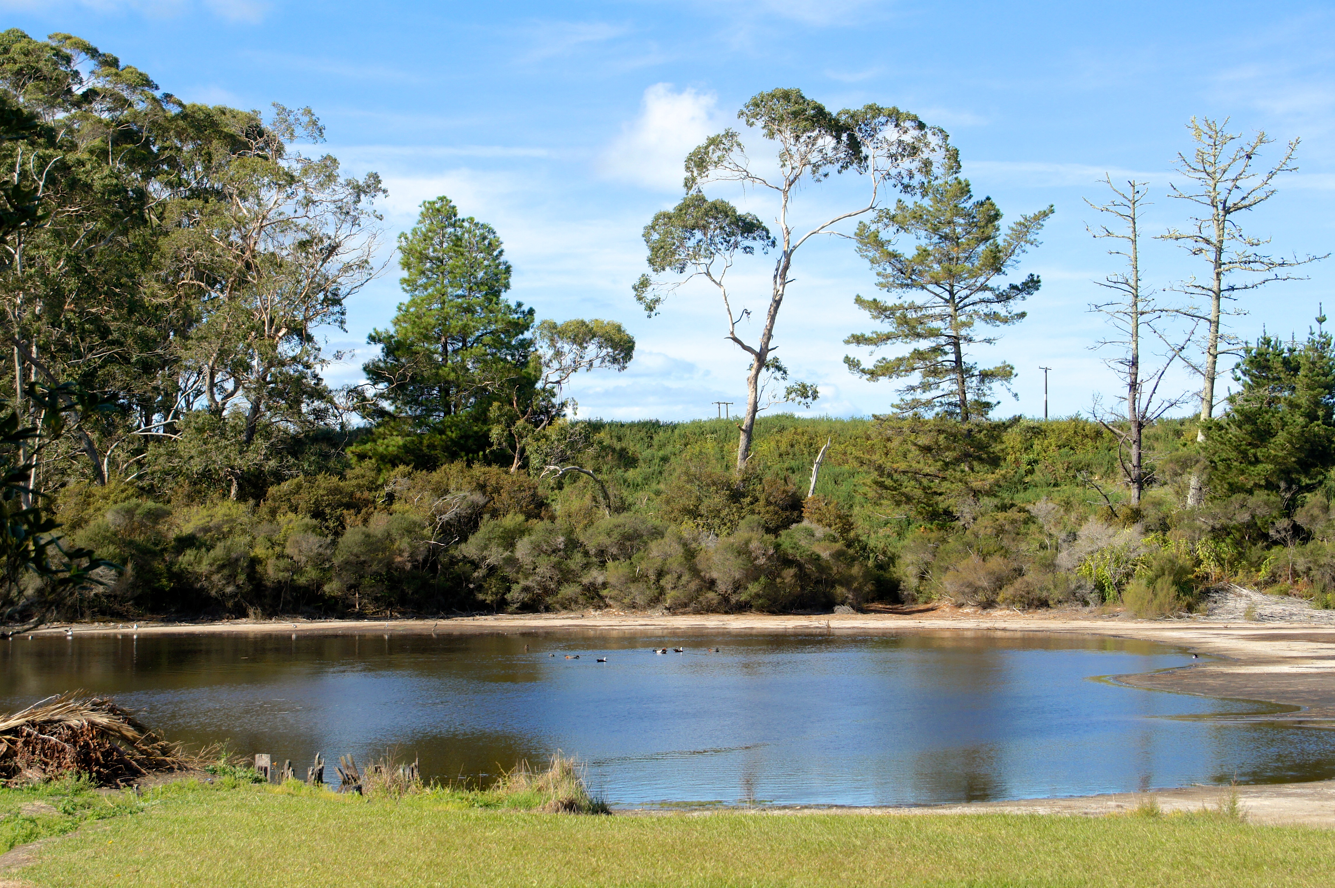
Kaikohe Hill sunrise

DSC_3594.jpg
Ngawha Springs

DSC_3512.jpg
EWN 108

DSC_3492.jpg

EWN 106

Rahiri, New Zealand

Old house, Taheke, Kaikohe District, Northland, New Zealand

Rope Bed at Te Waimate Mission House, New Zealand

DSC_3509.jpg

Kaikohe Pioneer Village

kaikohe speedway

kaikohe speedway

kaikohe speedway

kaikohe speedway

kaikohe speedway

kaikohe speedway

kaikohe speedway

kaikohe speedway

Basement at Te Waimate Mission House, New Zealand

Interior of Church of St. John the Baptist at Te Waimate Mission, New Zealand

Pine Tree at Te Waimate Mission, New Zealand

House at Te Waimate Mission, New Zealand

Morepork Owl (Ninox novaeseelandiae) of New Zealand
Topographic Map of Imms Rd, Okaihau, New Zealand
Find elevation by address:

Places near Imms Rd, Okaihau, New Zealand:
6 Michie St
Okaihau
247 Showground Road
294 Showground Road
296 Showground Road
Waimate North
Kerikeri
24 Fairway Dr
Northland
2 St Andrews Pl
156 West Coast Road
11 Alderton Drive
21 Purerua Road
21 Purerua Road
Kohukohu
929 Waimatenui Road
Oue
Nukutawhiti
509 Opara Road
Tāne Mahuta
Recent Searches:
- Elevation of Corso Fratelli Cairoli, 35, Macerata MC, Italy
- Elevation of Tallevast Rd, Sarasota, FL, USA
- Elevation of 4th St E, Sonoma, CA, USA
- Elevation of Black Hollow Rd, Pennsdale, PA, USA
- Elevation of Oakland Ave, Williamsport, PA, USA
- Elevation of Pedrógão Grande, Portugal
- Elevation of Klee Dr, Martinsburg, WV, USA
- Elevation of Via Roma, Pieranica CR, Italy
- Elevation of Tavkvetili Mountain, Georgia
- Elevation of Hartfords Bluff Cir, Mt Pleasant, SC, USA