Elevation of 6 Michie St, Okaihau, New Zealand
Location: New Zealand > Northland > Okaihau >
Longitude: 173.769971
Latitude: -35.323632
Elevation: 242m / 794feet
Barometric Pressure: 98KPa
Elevation Map:
Satellite Map:
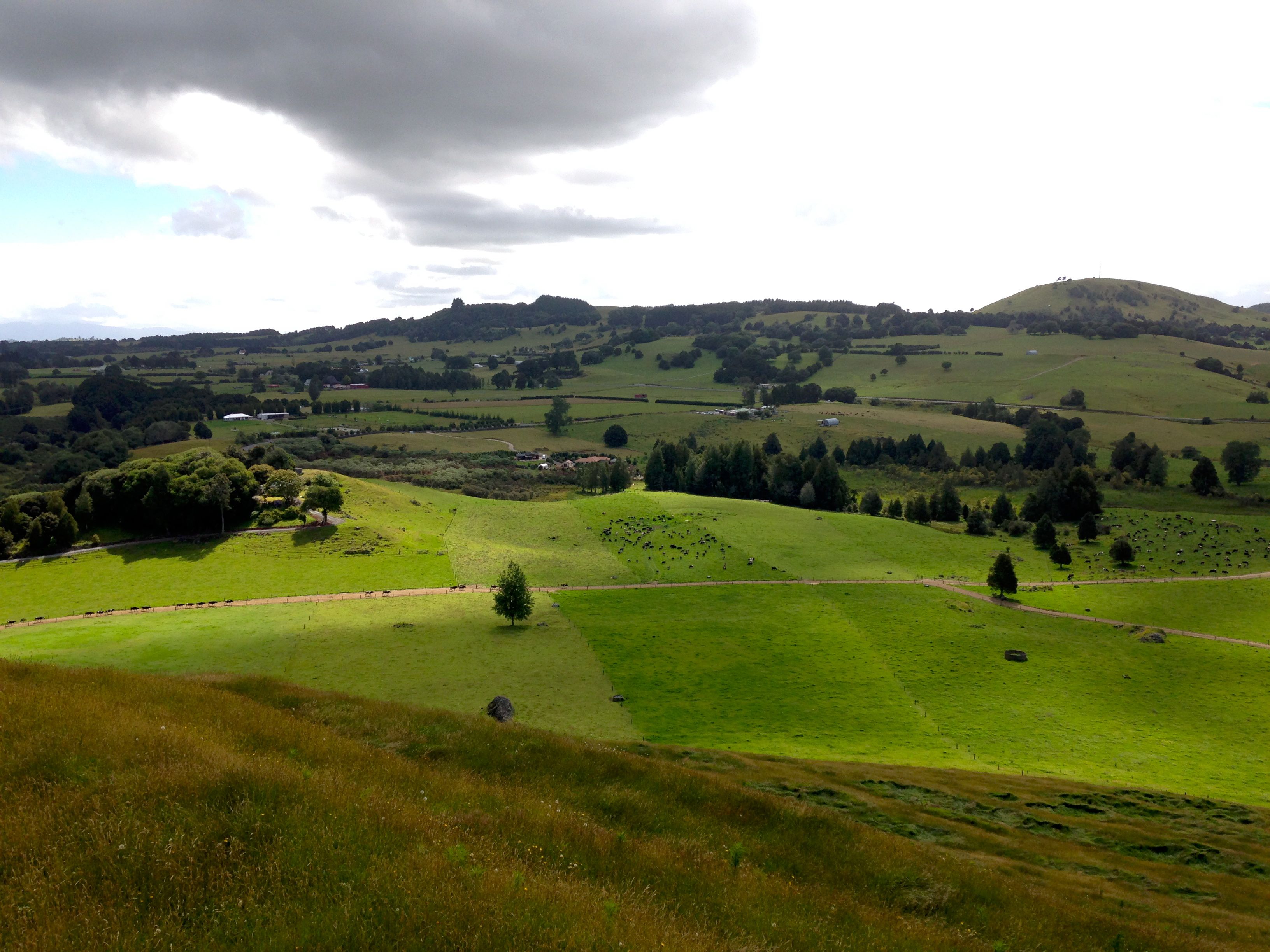
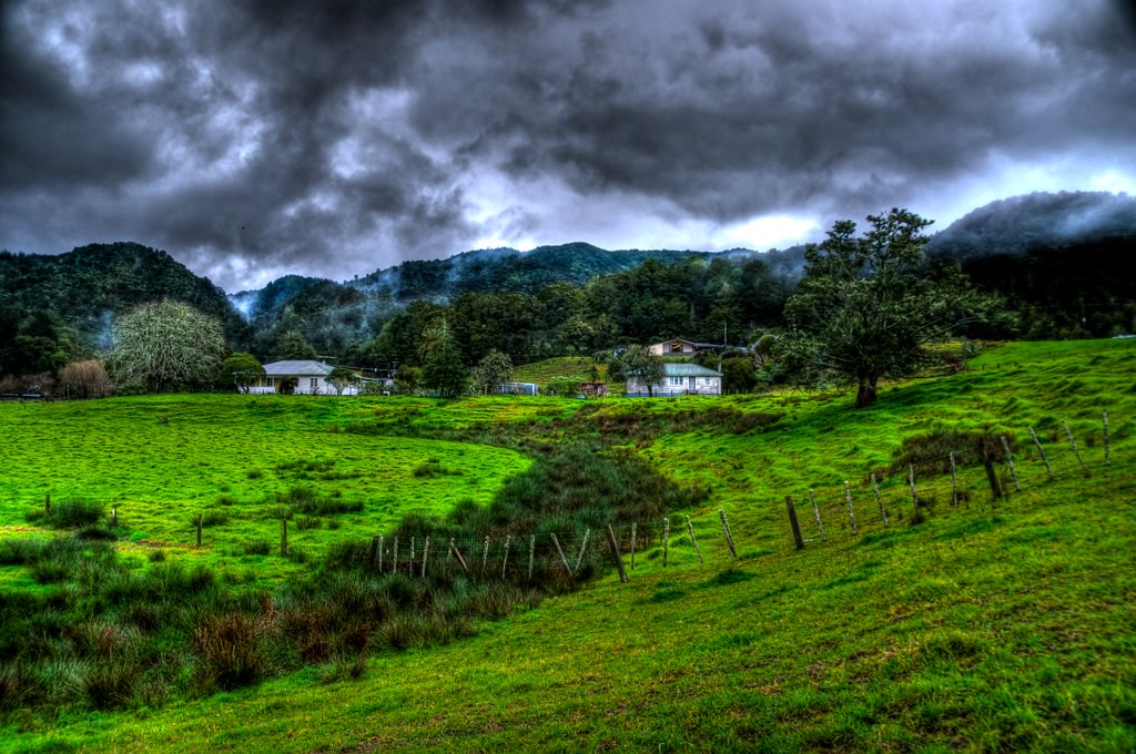
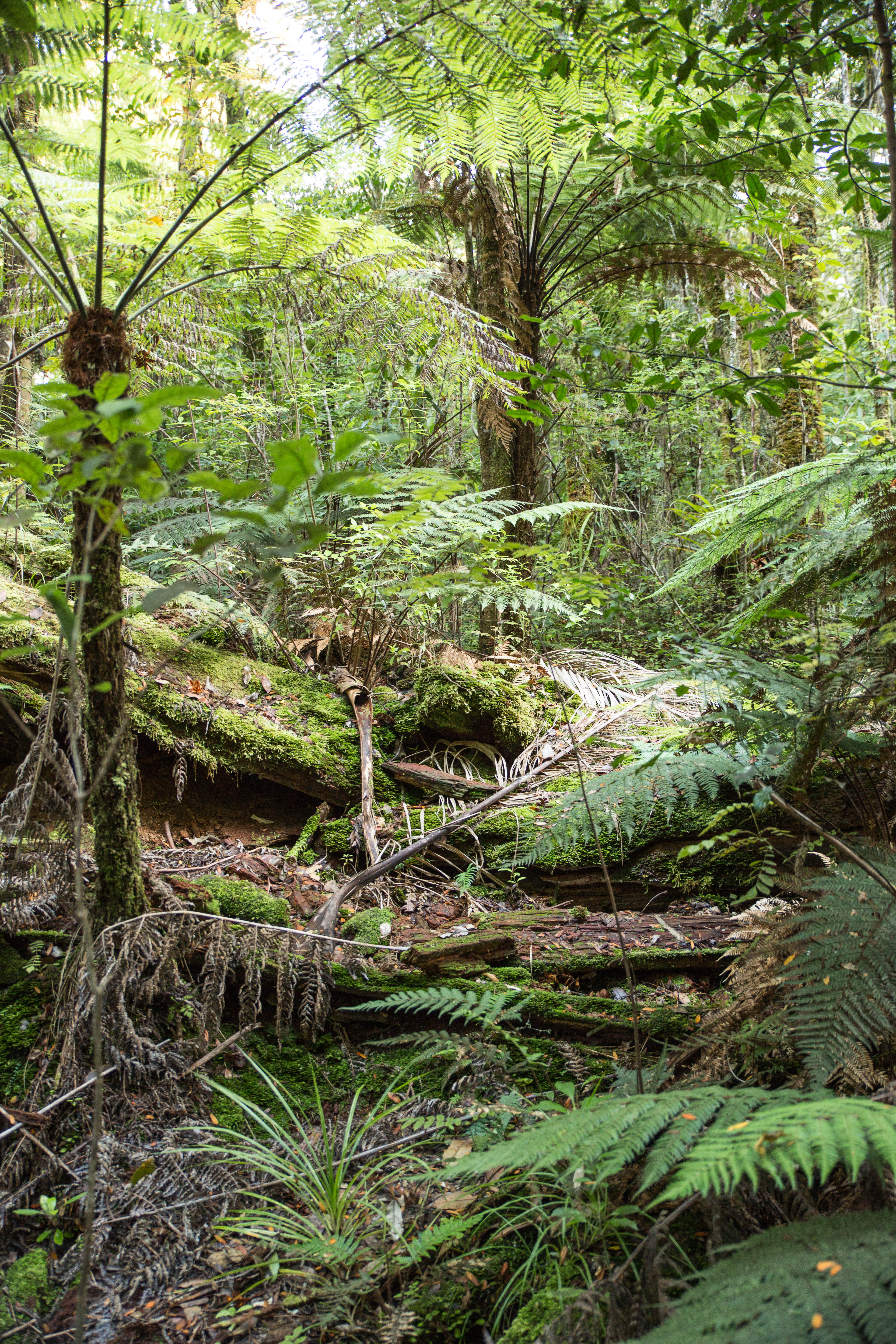
Related Photos:
Skyzone Bay of Island plane taking off at Kerikeri Airport
Skyzone Bay of Island plane taking off at Kerikeri Airport
Kaikohe Hill sunrise
Agathis australis, Whatamakere (fallen), Omahuta Kauri Sanctuary, Omahuta Forest Sanctuary, Far North District, Northland, New Zealand, Paul Aughey 1

DSC_3594.jpg

DSC_3490.jpg
Christmas dinner at Waitaheke Farm

DSC_3546.jpg
Rahiri, New Zealand
AN5D0079.jpg

DSC_3513.jpg

DSC_3512.jpg
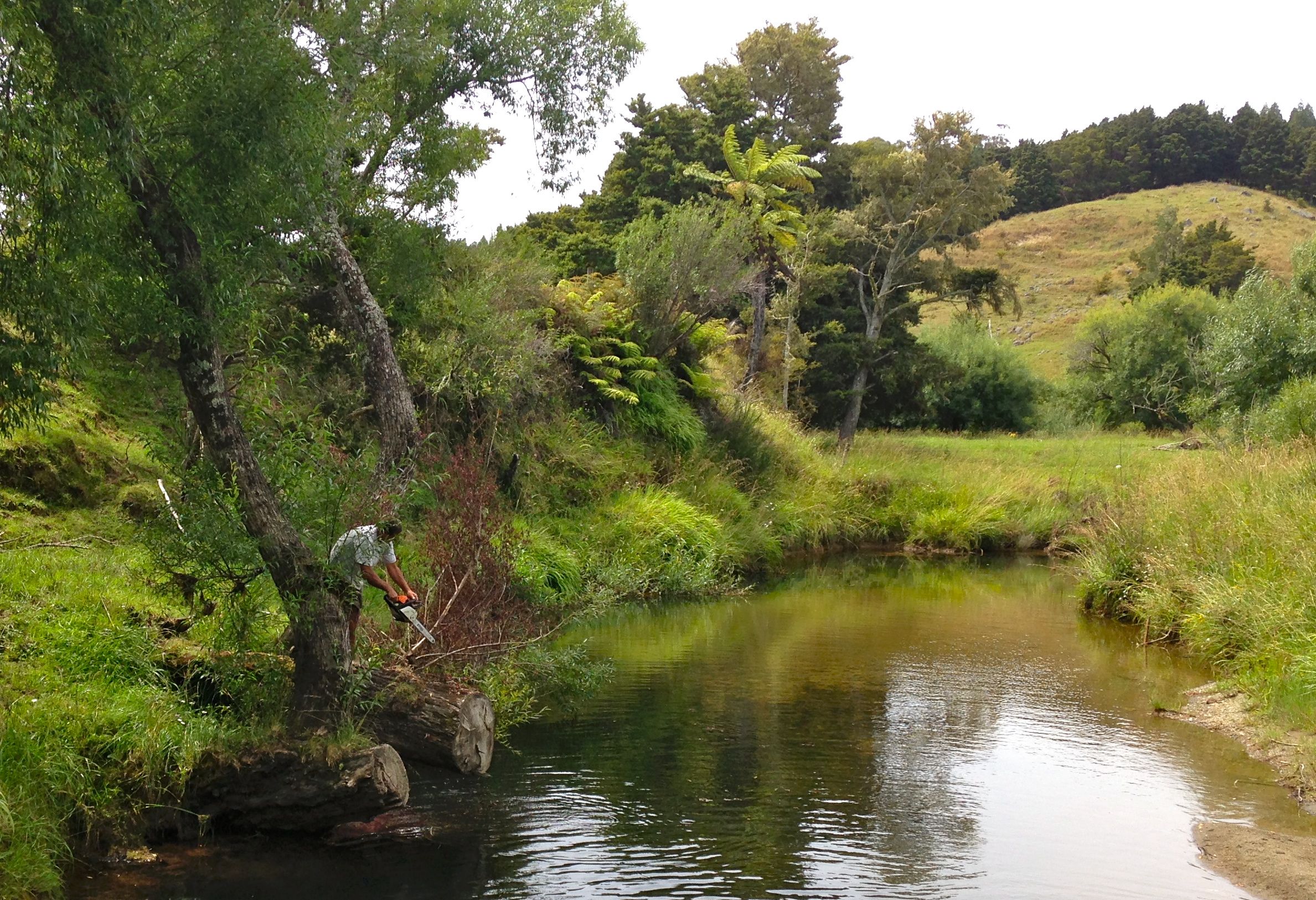
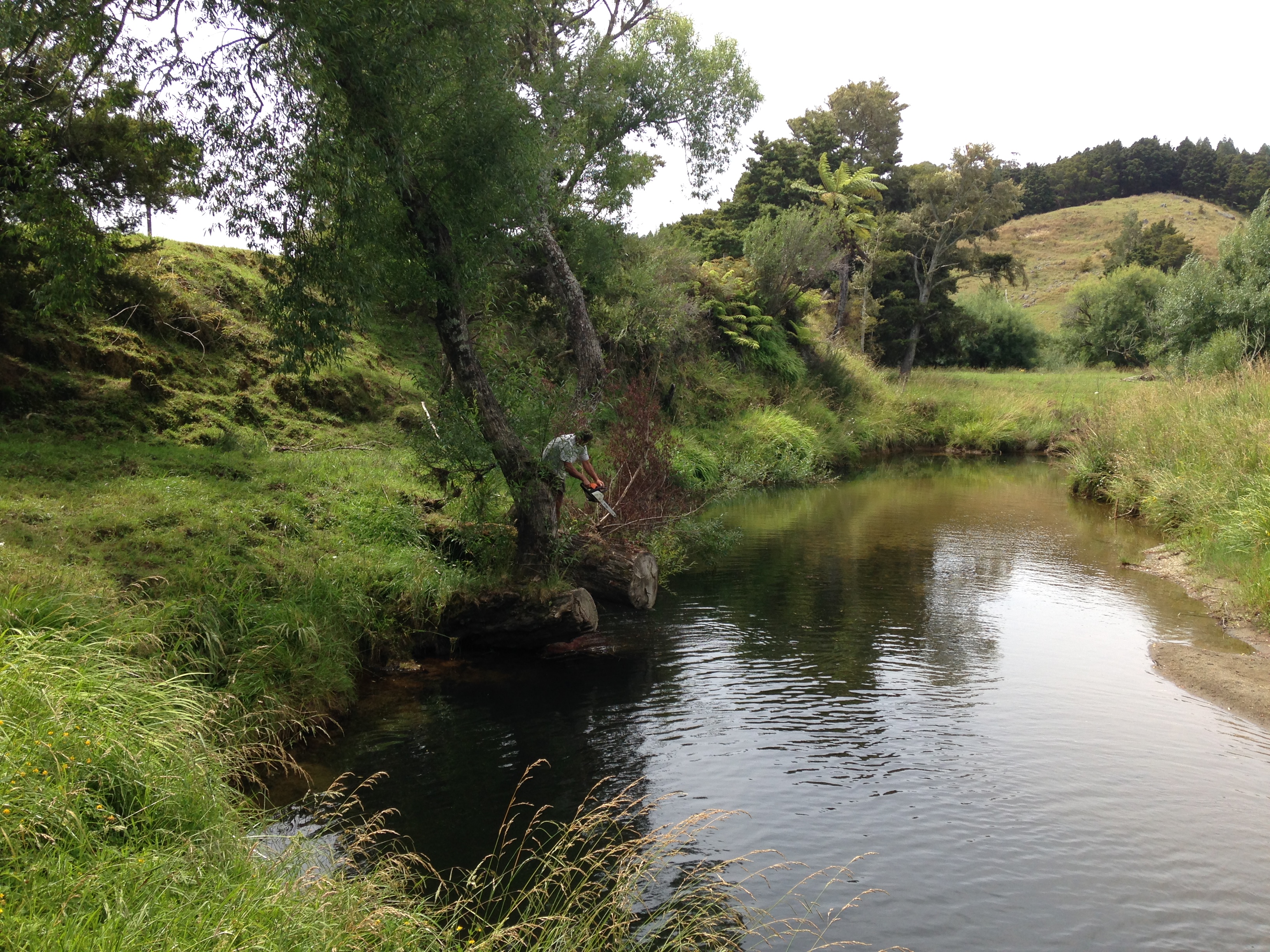
Picnic by the river

Down to the Bay of Islands
The perfect picnic spot
Topographic Map of 6 Michie St, Okaihau, New Zealand
Find elevation by address:

Places near 6 Michie St, Okaihau, New Zealand:
Okaihau
200 Imms Rd
247 Showground Road
294 Showground Road
296 Showground Road
Waimate North
Kerikeri
24 Fairway Dr
2 St Andrews Pl
11 Alderton Drive
21 Purerua Road
21 Purerua Road
Northland
156 West Coast Road
Kohukohu
929 Waimatenui Road
Oue
Nukutawhiti
509 Opara Road
Russell
Recent Searches:
- Elevation of Corso Fratelli Cairoli, 35, Macerata MC, Italy
- Elevation of Tallevast Rd, Sarasota, FL, USA
- Elevation of 4th St E, Sonoma, CA, USA
- Elevation of Black Hollow Rd, Pennsdale, PA, USA
- Elevation of Oakland Ave, Williamsport, PA, USA
- Elevation of Pedrógão Grande, Portugal
- Elevation of Klee Dr, Martinsburg, WV, USA
- Elevation of Via Roma, Pieranica CR, Italy
- Elevation of Tavkvetili Mountain, Georgia
- Elevation of Hartfords Bluff Cir, Mt Pleasant, SC, USA