Elevation map of Northern Province, Rwanda
Location: Rwanda >
Longitude: 29.8815203
Latitude: -1.656166
Elevation: 1766m / 5794feet
Barometric Pressure: 82KPa
Elevation Map:
Satellite Map:
Related Photos:

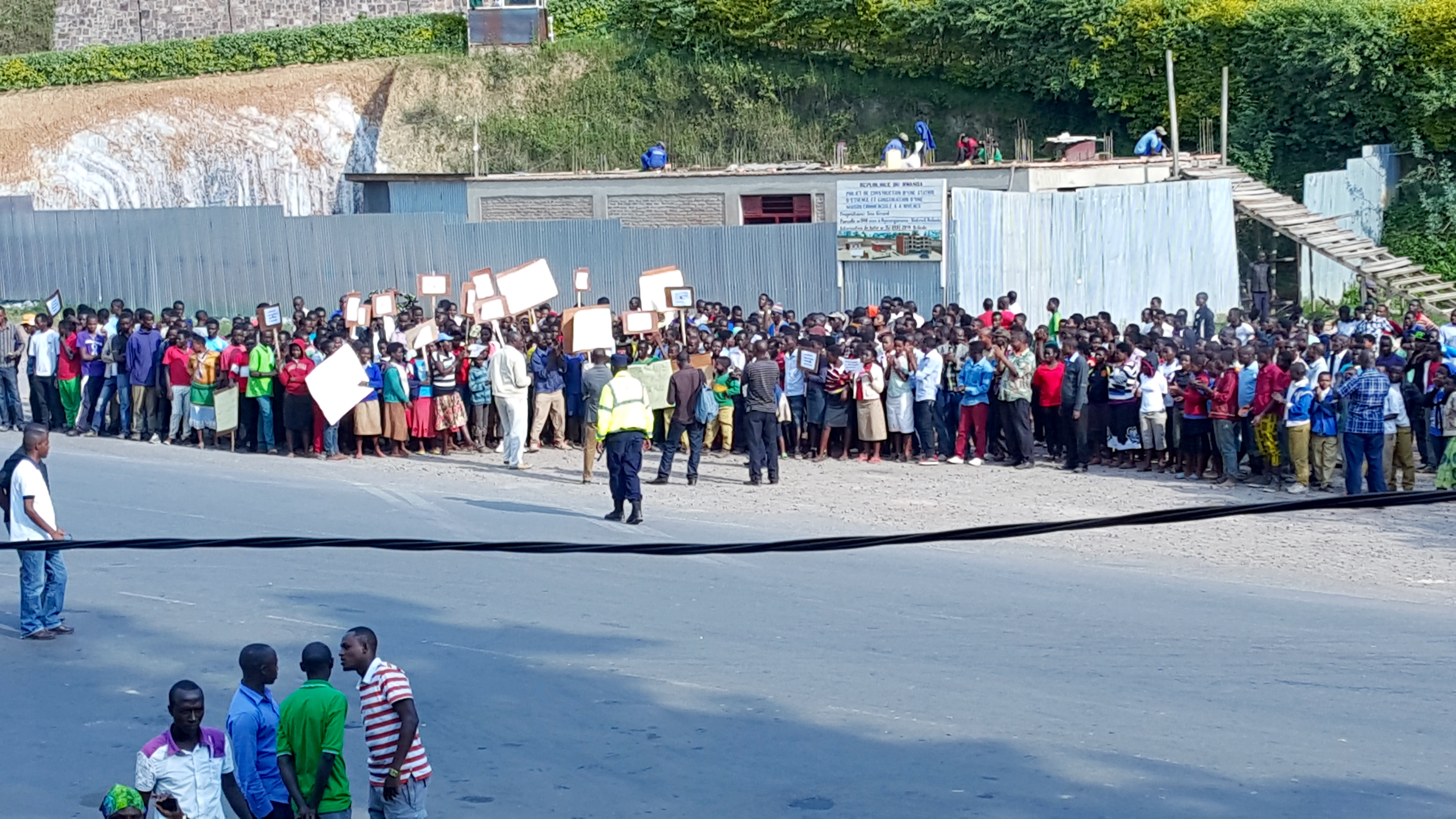
Rwanda, land of a 1000 hills, 1/16/09

2013-07-10_Flickr_5327
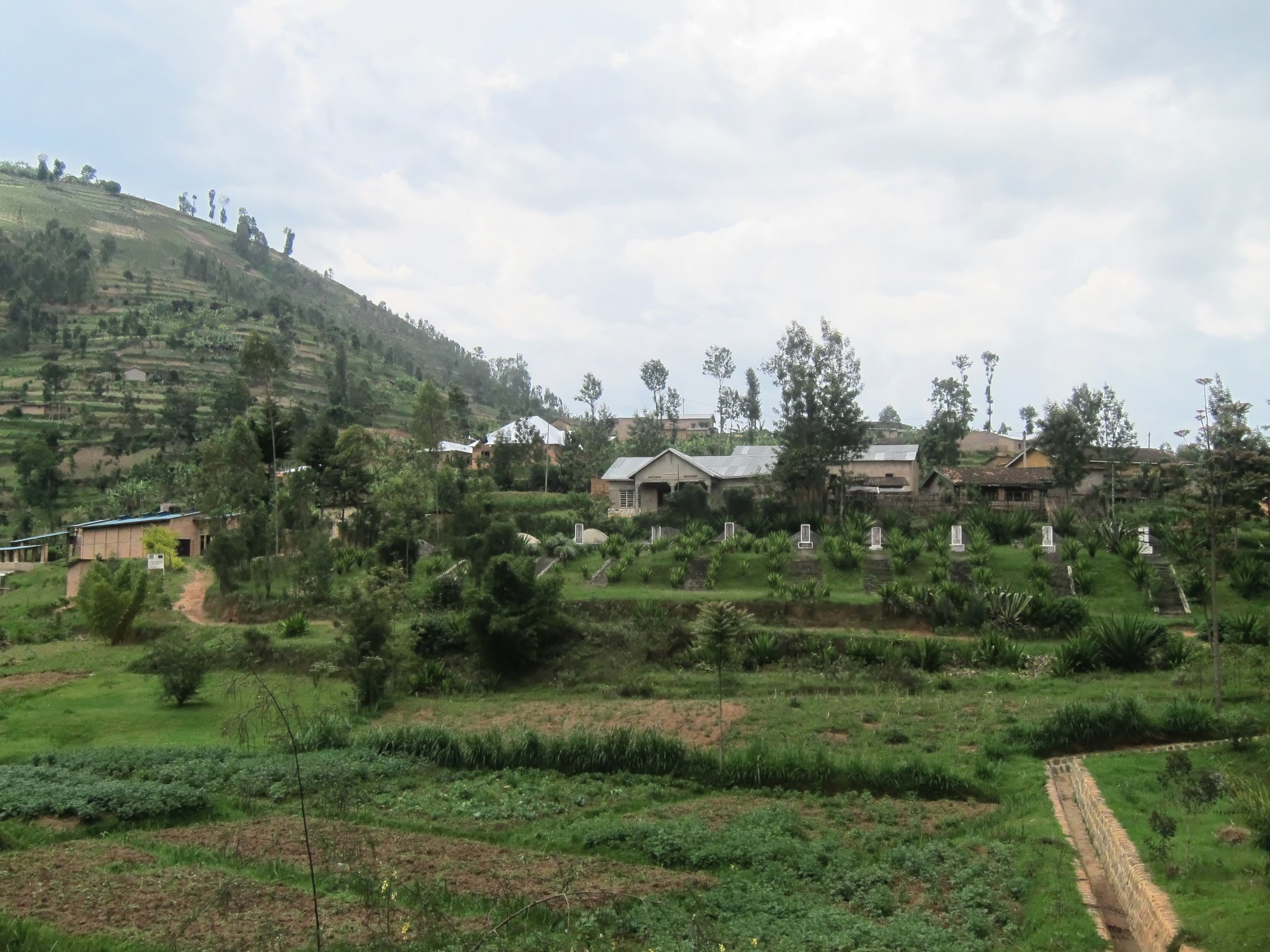
One of the many Genocide Memorials

2015-06-25 15.47.35
2015-06-25 15.47.38

Rwamahwa, Rwanda, Duke University, 2015
Rwamahwa, Rwanda, Duke University, 2015
Topographic Map of Northern Province, Rwanda
Find elevation by address:

Places in Northern Province, Rwanda:
Places near Northern Province, Rwanda:
Gakenke
Musasa
Burera
Byumba
Byumba
Gicumbi
Muhanga
Rwanda
Ruhengeri
Unnamed Road
Nyabihu
Nyabugogo
Kigali City Tower
Centenary House
Kiyovu
Nyarugenge
Kinigi
Nyarugenge
Musanze
Ngarama
Recent Searches:
- Elevation of Corso Fratelli Cairoli, 35, Macerata MC, Italy
- Elevation of Tallevast Rd, Sarasota, FL, USA
- Elevation of 4th St E, Sonoma, CA, USA
- Elevation of Black Hollow Rd, Pennsdale, PA, USA
- Elevation of Oakland Ave, Williamsport, PA, USA
- Elevation of Pedrógão Grande, Portugal
- Elevation of Klee Dr, Martinsburg, WV, USA
- Elevation of Via Roma, Pieranica CR, Italy
- Elevation of Tavkvetili Mountain, Georgia
- Elevation of Hartfords Bluff Cir, Mt Pleasant, SC, USA