Elevation of Burera, Rwanda
Location: Rwanda > Northern Province >
Longitude: 29.8352303
Latitude: -1.4877669
Elevation: 2016m / 6614feet
Barometric Pressure: 79KPa
Elevation Map:
Satellite Map:
Related Photos:

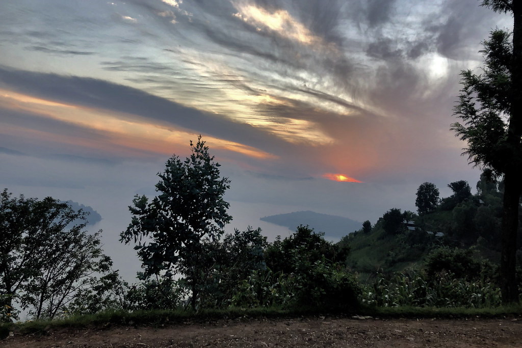
Visoke Volcano Viewed from Kidaho

Zicht op Rwanda

Virunga Lodge view 1

Virunga Lodge view 3
Virunga Lodge view 4

Virunga Lodge view 5

Volcano Muhabura

Aardappelvelden op de grens van Oeganda en Rwand

Lake Burera

The Rural Scene of Rwanda

The Rural Scene of Rwanda

Van Twa nederzetting naar Kyevu

IMG_4333 1

Van Kyevu naar Twa nederzetting

Volcanoes - Rwanda

Lake Burera - Rwanda
Topographic Map of Burera, Rwanda
Find elevation by address:

Places in Burera, Rwanda:
Places near Burera, Rwanda:
Northern Province
Ruhengeri
Unnamed Road
Gakenke
Byumba
Kinigi
Volcanoes National Park
Musanze
Byumba
Musasa
Gicumbi
Nyabihu
Ngarama
Muhanga
Rwanda
Nyabugogo
Kigali City Tower
Centenary House
Kiyovu
Nyarugenge
Recent Searches:
- Elevation of Corso Fratelli Cairoli, 35, Macerata MC, Italy
- Elevation of Tallevast Rd, Sarasota, FL, USA
- Elevation of 4th St E, Sonoma, CA, USA
- Elevation of Black Hollow Rd, Pennsdale, PA, USA
- Elevation of Oakland Ave, Williamsport, PA, USA
- Elevation of Pedrógão Grande, Portugal
- Elevation of Klee Dr, Martinsburg, WV, USA
- Elevation of Via Roma, Pieranica CR, Italy
- Elevation of Tavkvetili Mountain, Georgia
- Elevation of Hartfords Bluff Cir, Mt Pleasant, SC, USA