Elevation of North Liberty, IN, USA
Location: United States > Indiana > St. Joseph County > Liberty Township >
Longitude: -86.427234
Latitude: 41.5342125
Elevation: 223m / 732feet
Barometric Pressure: 99KPa
Elevation Map:
Satellite Map:
Related Photos:
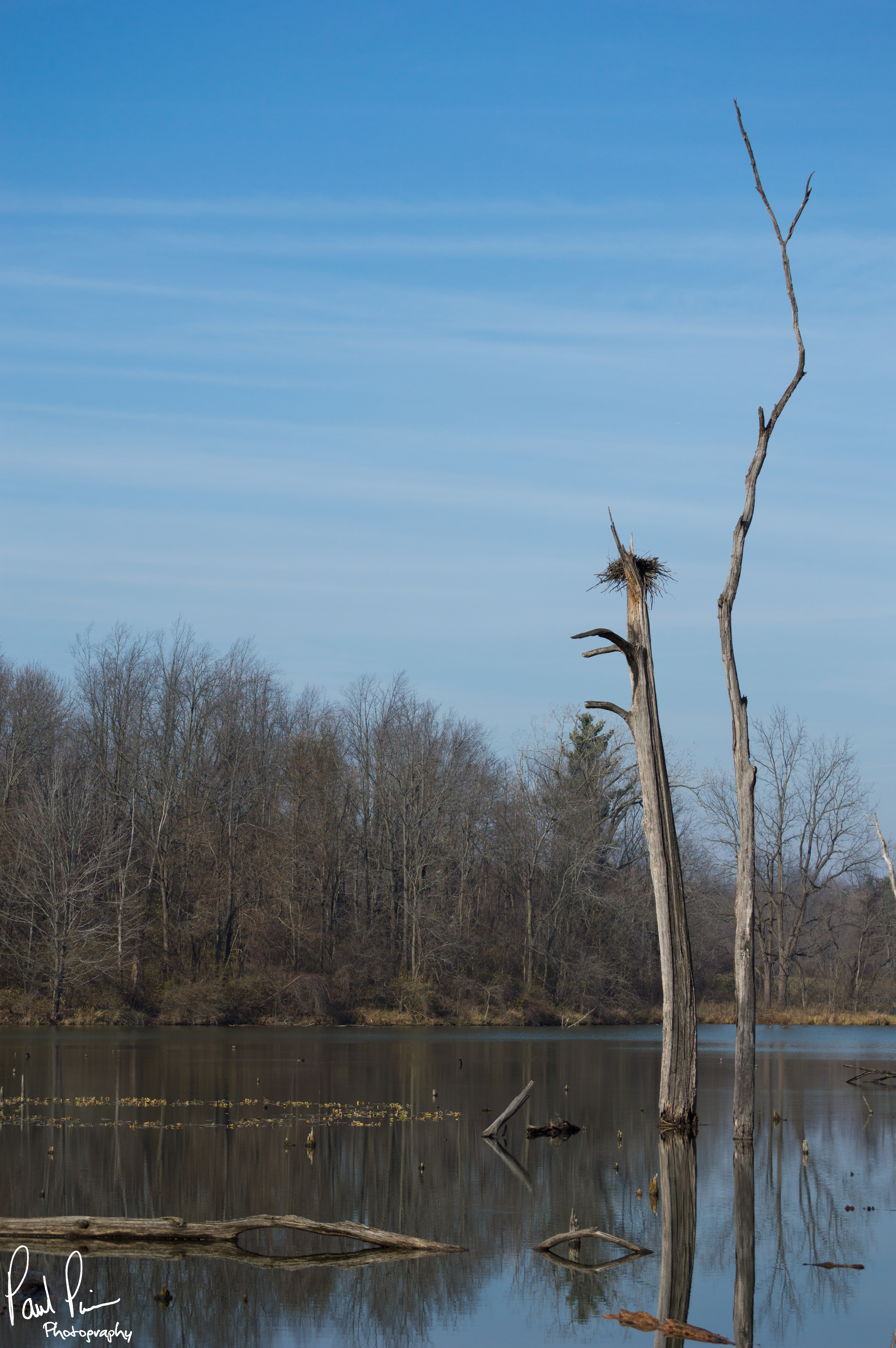
Bird nest in the middle of a lake

CN 2883 - 9/21/2015
The night he asked me to marry him.

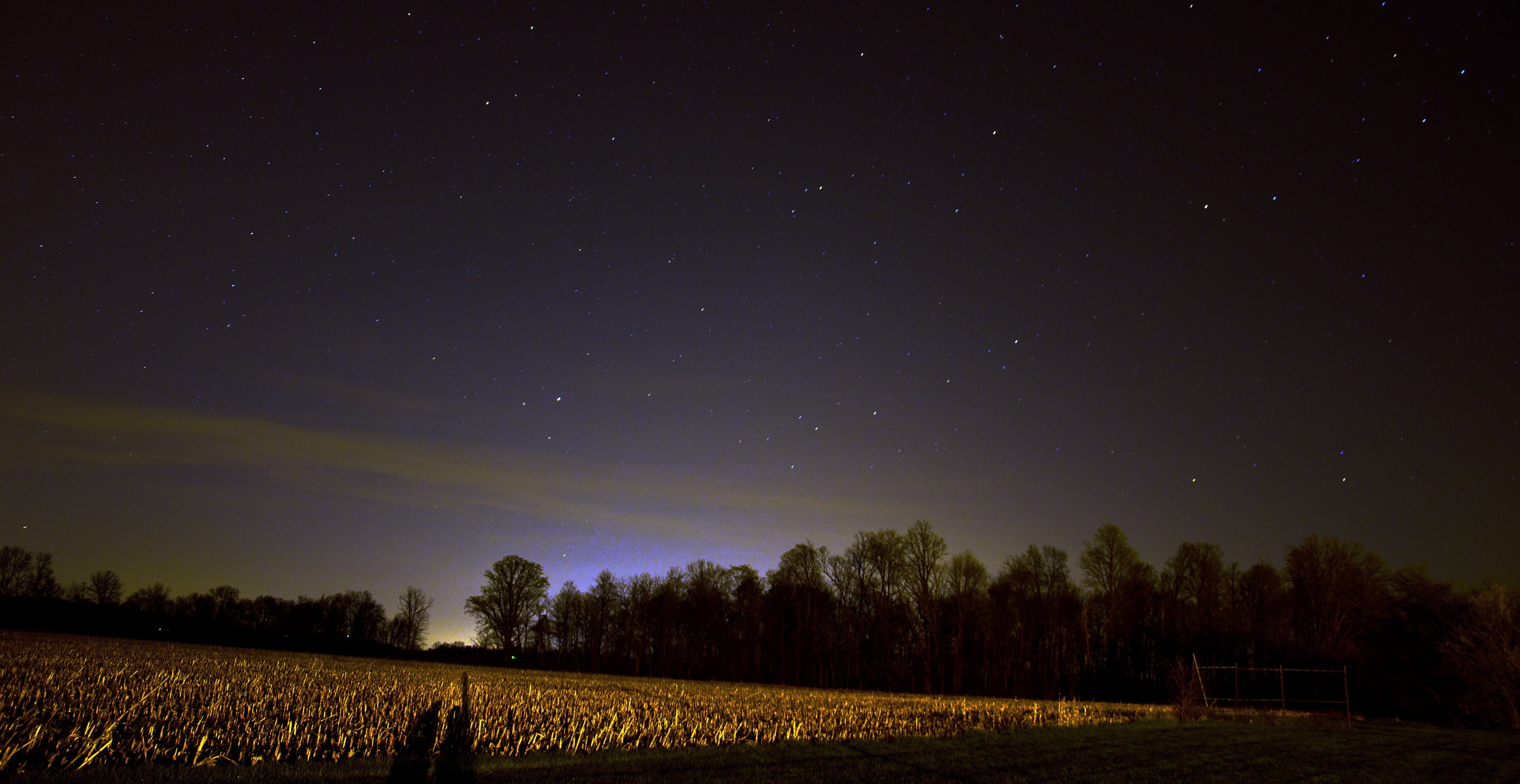
Fall photo.

Orange sky and glowing rails

donald kayaking. fish lake. indiana. july 5th 2013
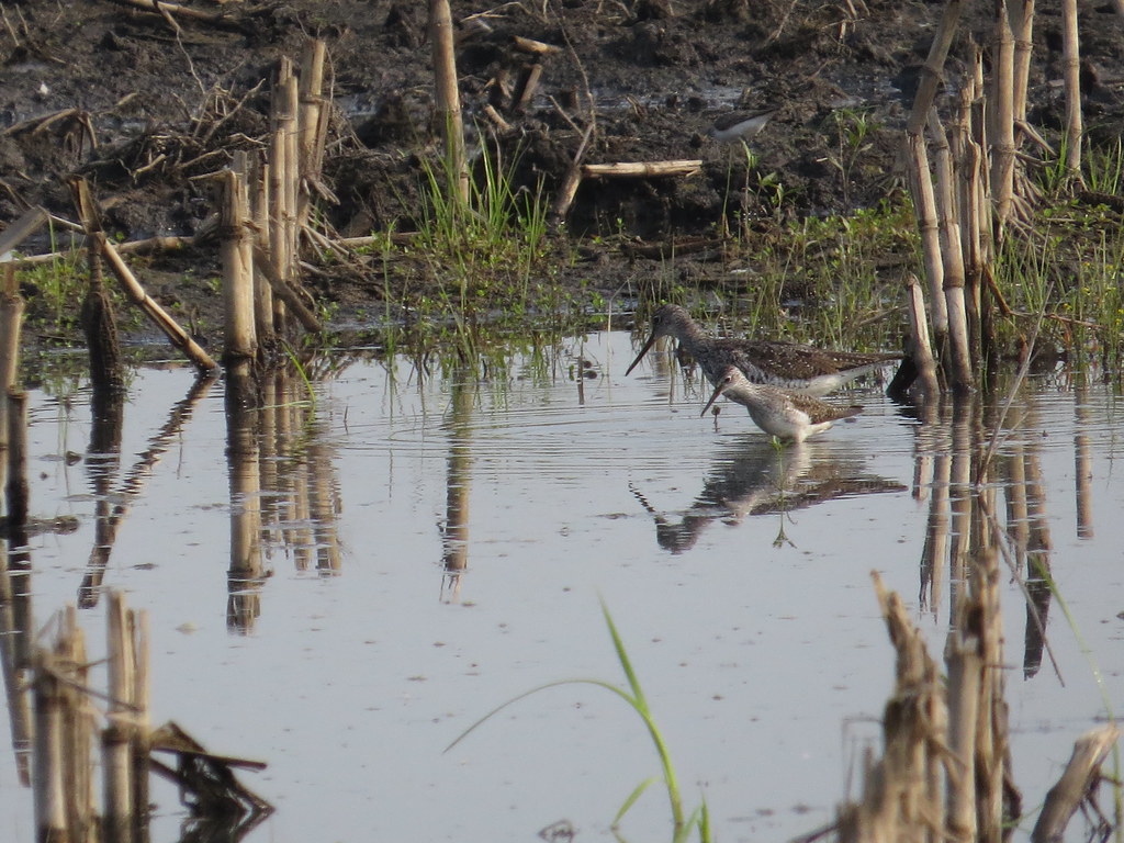
Lesser Yellowlegs and Greater Yellowlegs by SpeedyJR

Lonely Forest

White Tiger
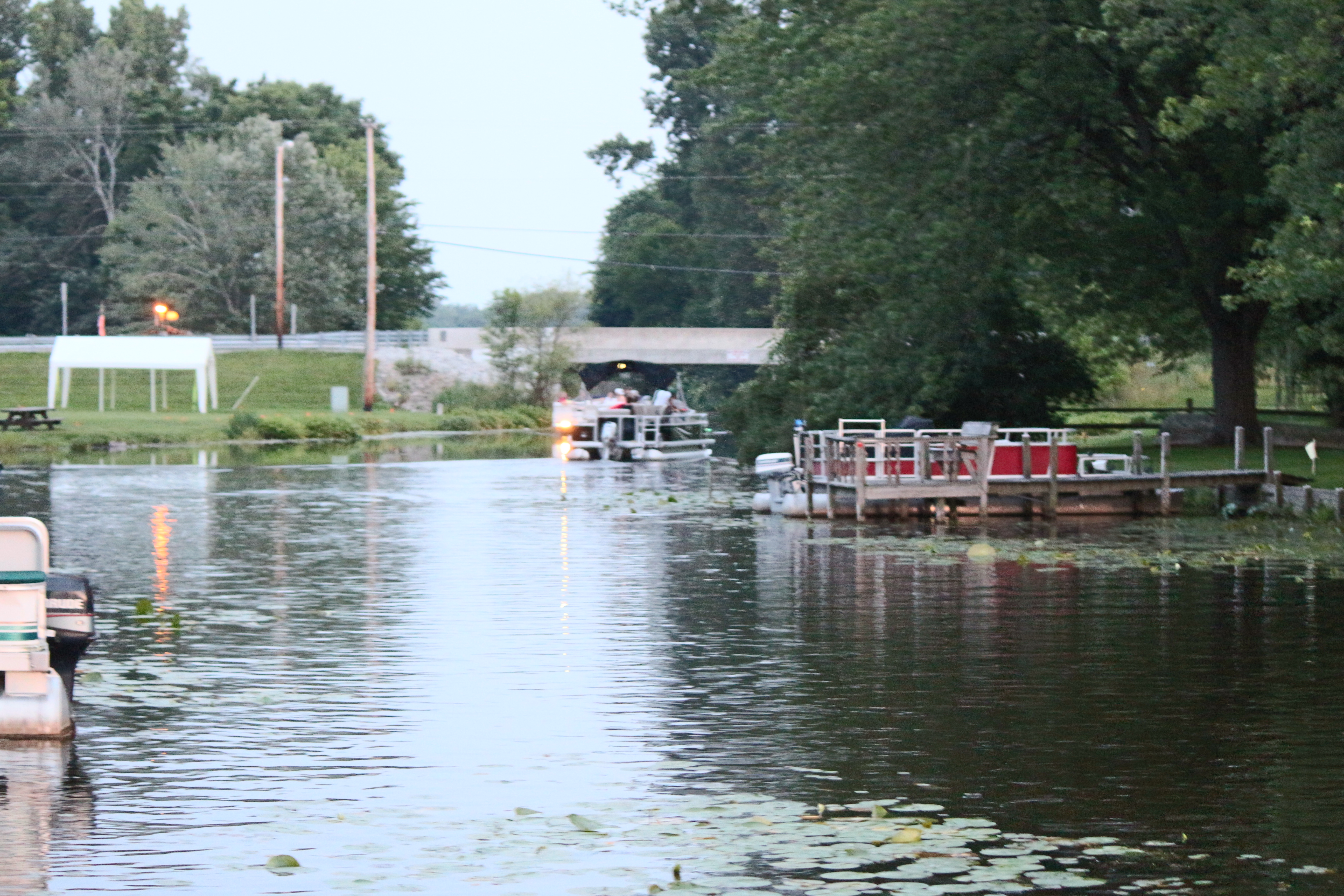
fish lake
A new time zone!
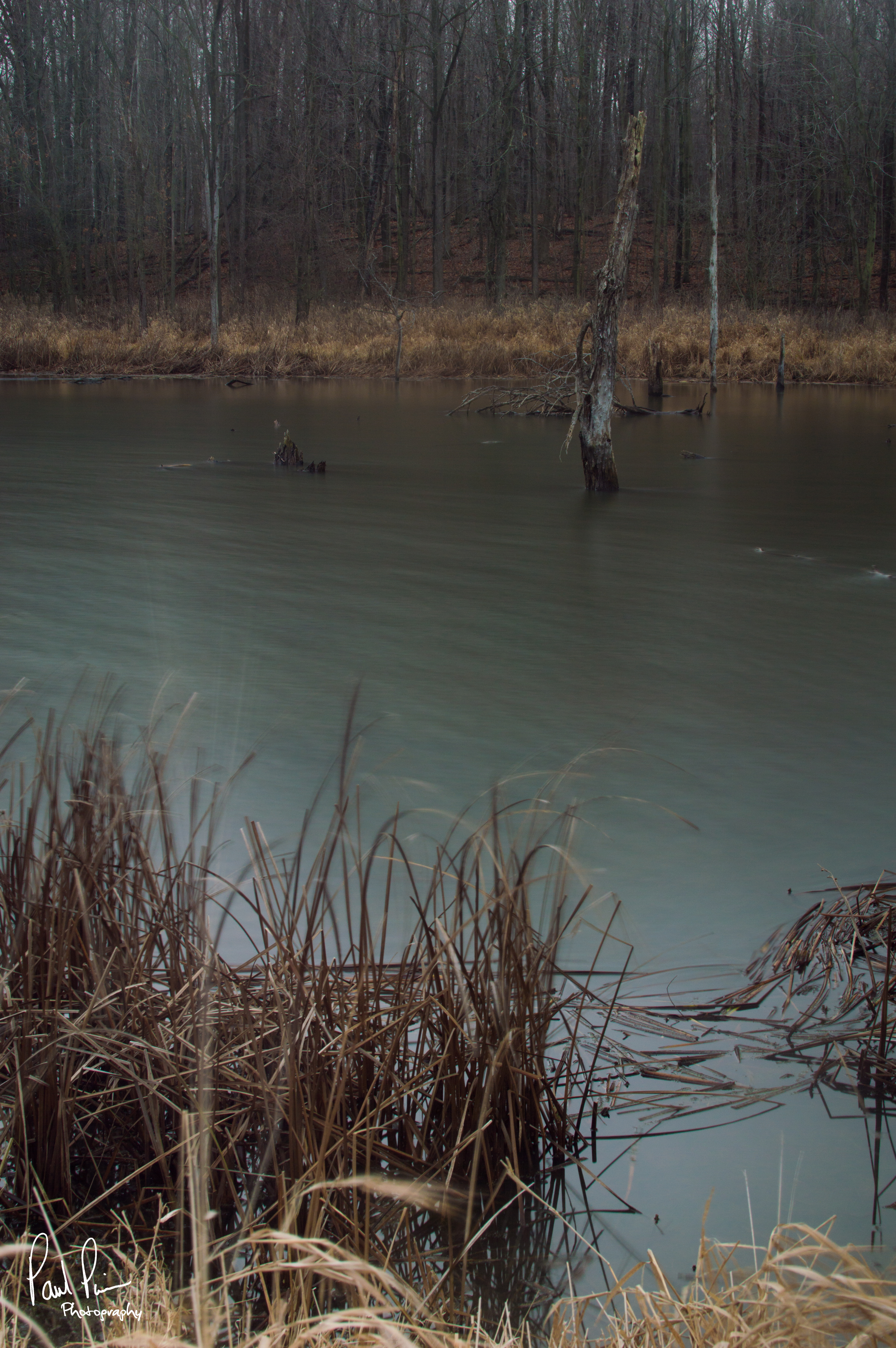
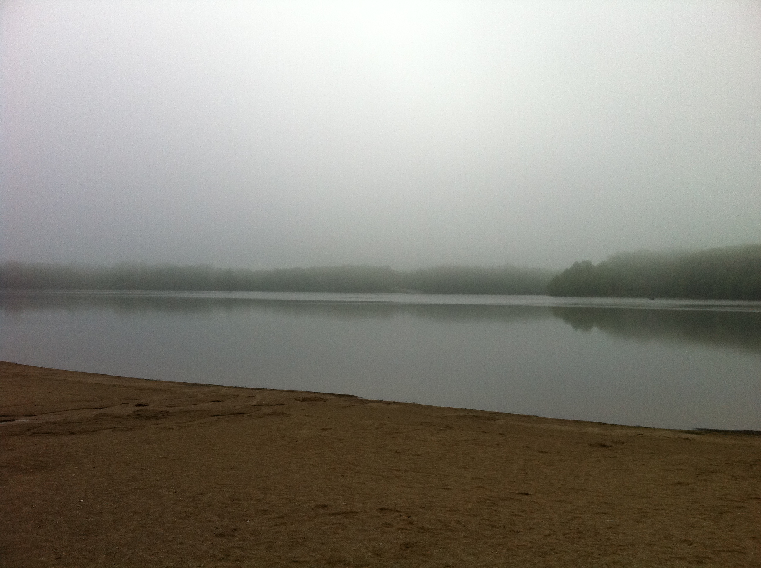
waters edge
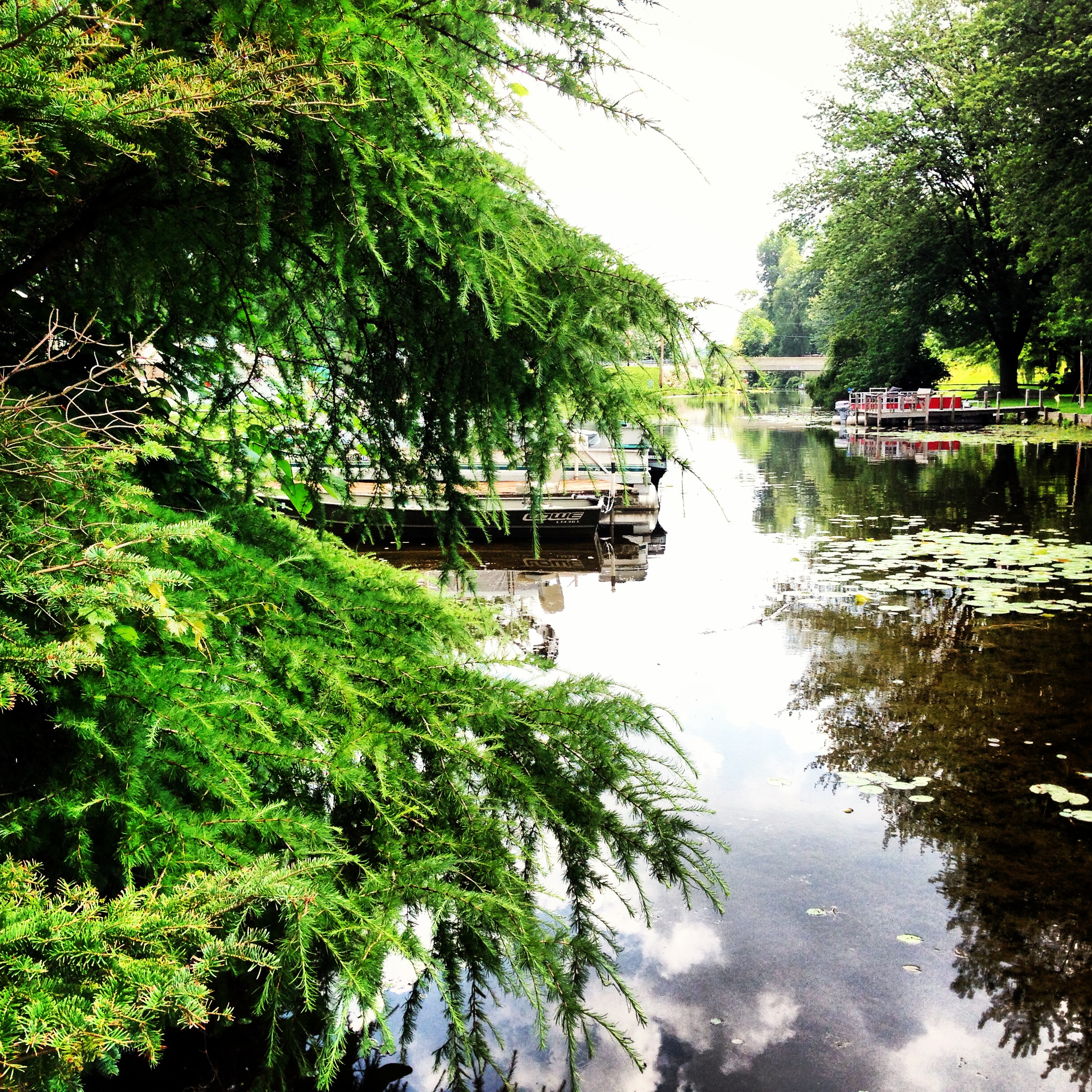
fish lake. july 5th 2013
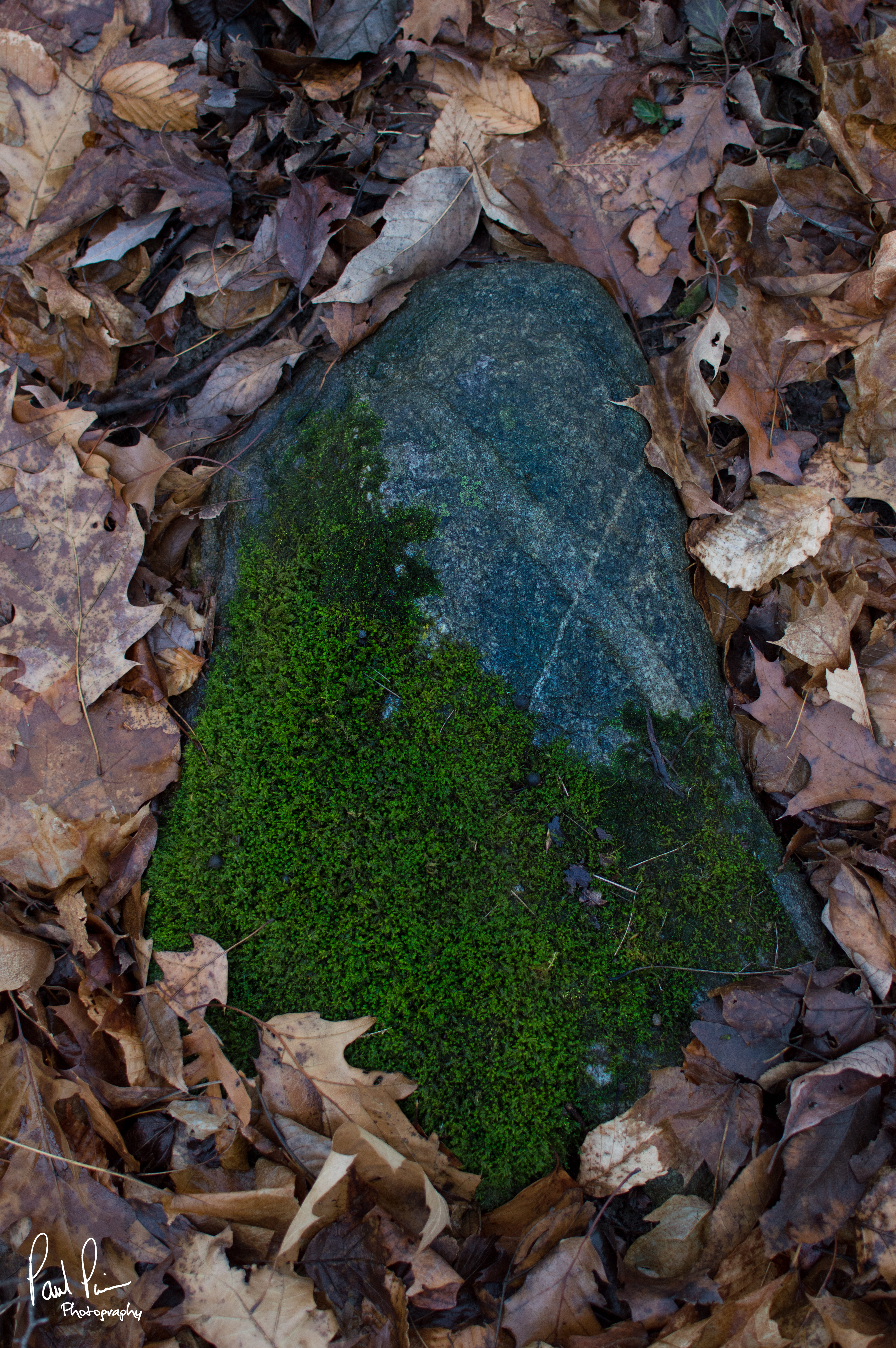
Mossy Rock
Potato Creek State Park

Potato Creek State Park - North Liberty, Indiana
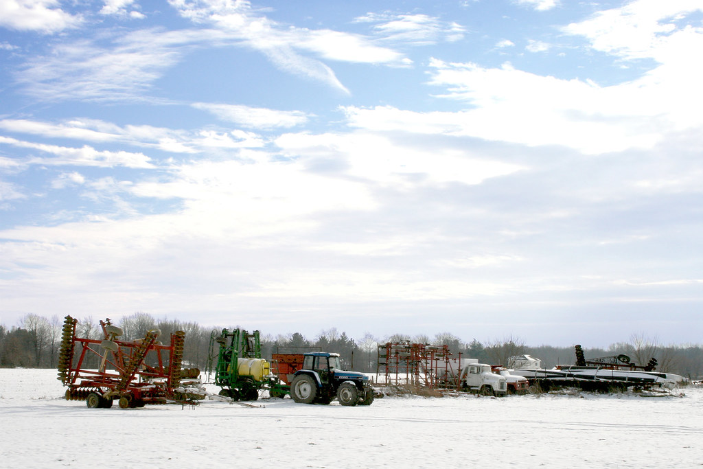
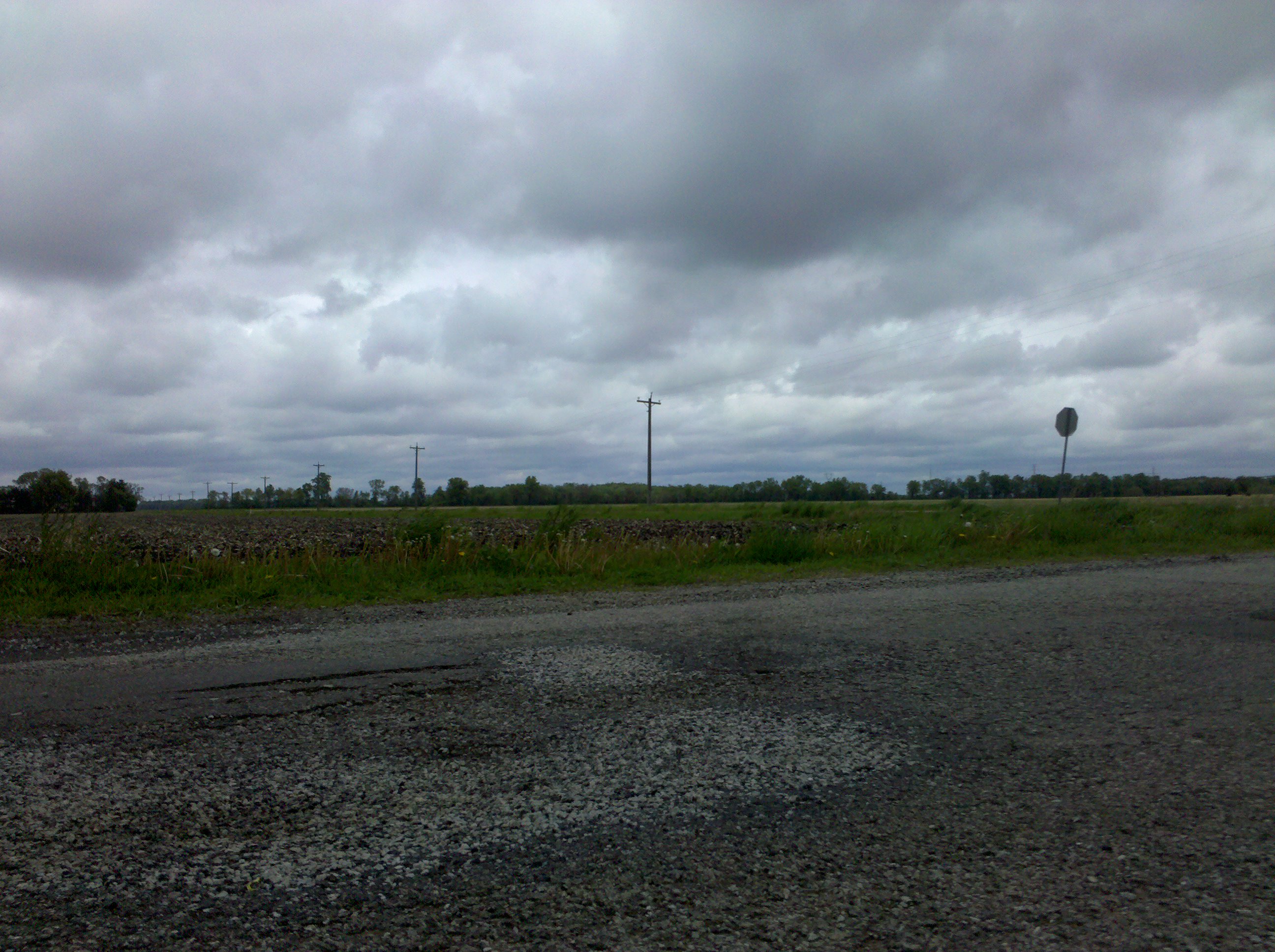
Farm Equipment in the Snow

fish lake. indiana.

Potato Creek State Park Hike
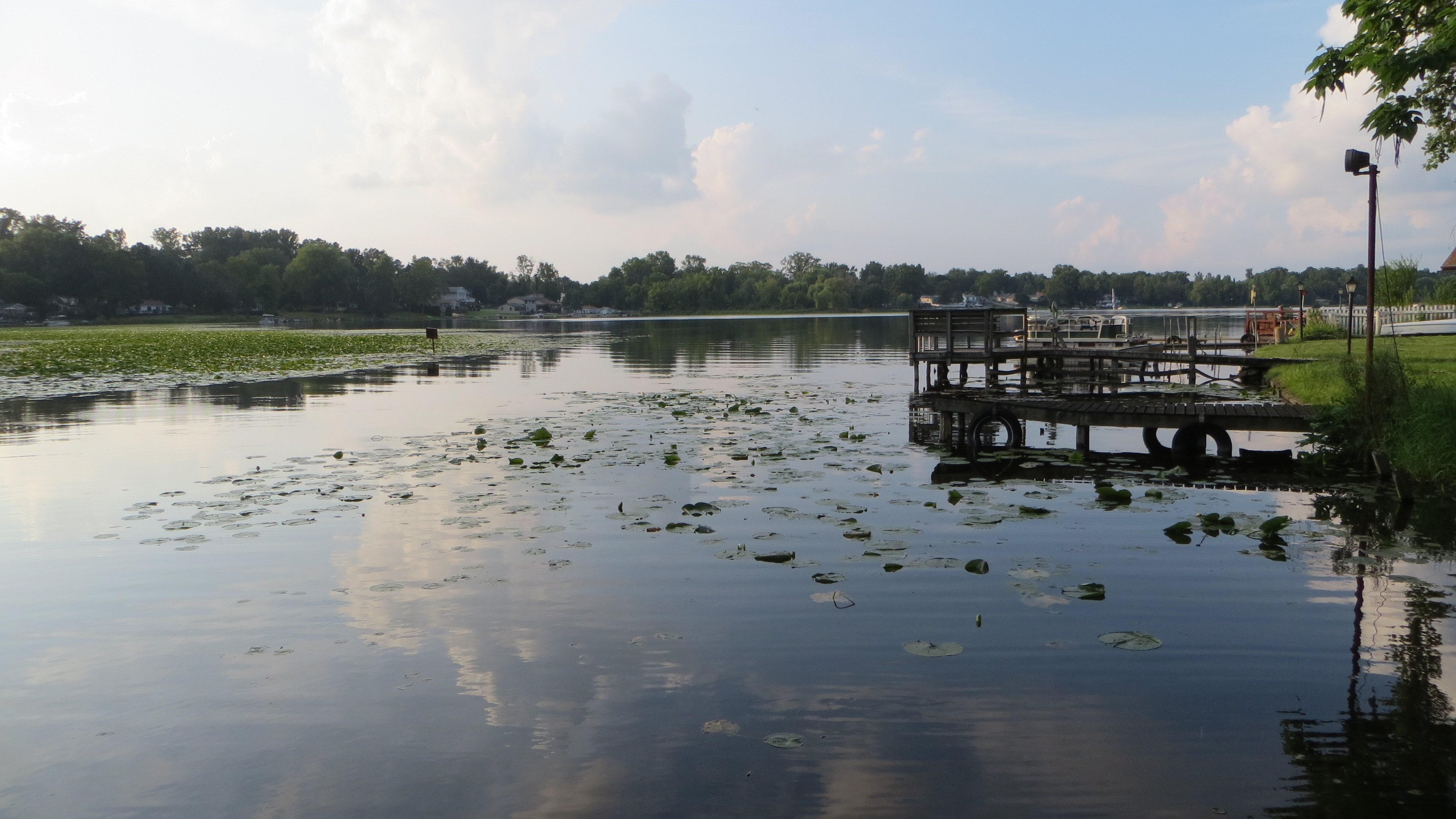
fish lake indiana. july 2013

2013-07-12 13.03.17

Bocce ball
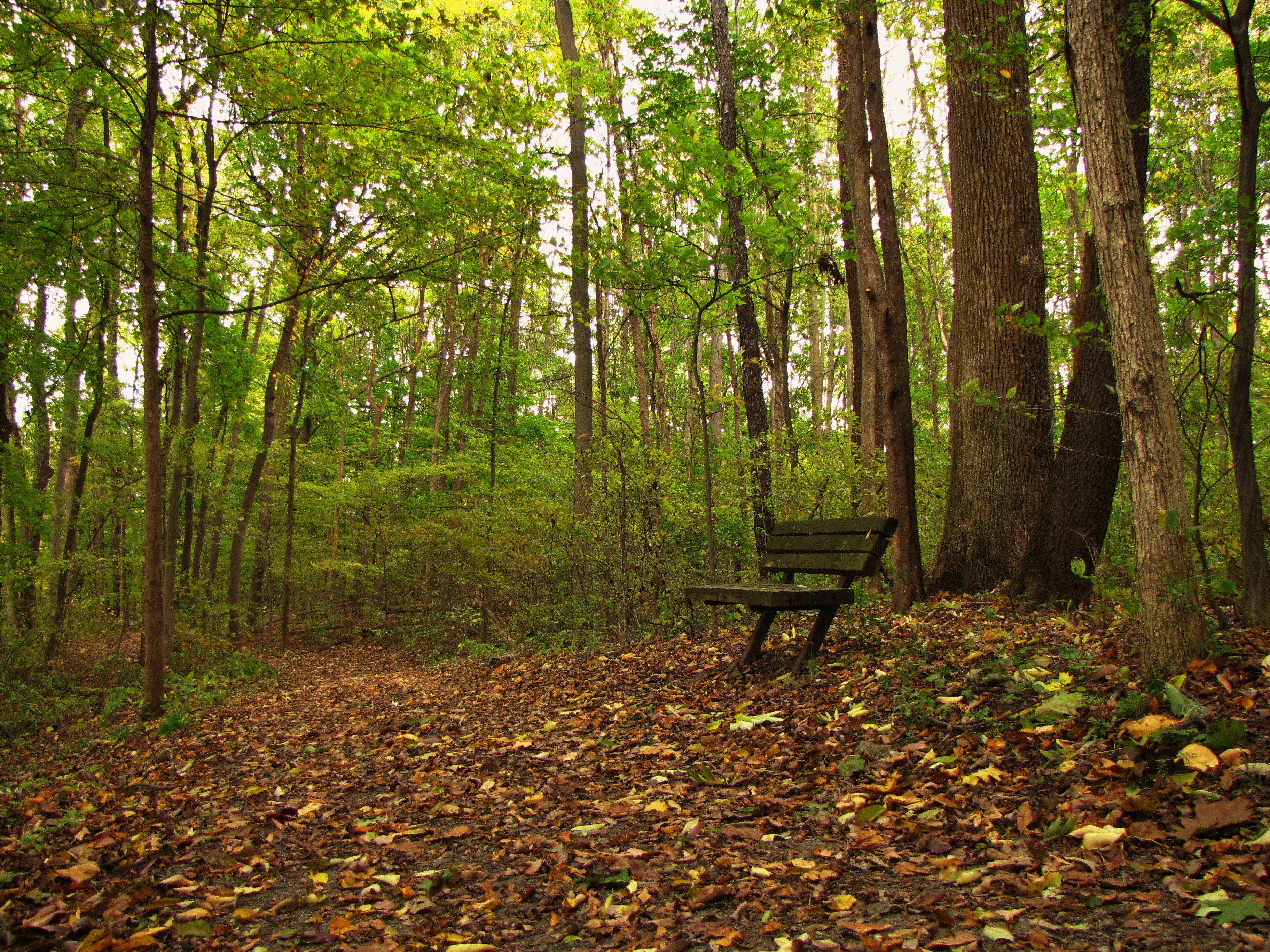
Lonely bench in the forest
Topographic Map of North Liberty, IN, USA
Find elevation by address:

Places in North Liberty, IN, USA:
Places near North Liberty, IN, USA:
crumstown Trail, North Liberty, IN, USA
29294 Quinn Rd
Liberty Township
St. Joseph County
61012 Mayflower Rd
Greene Township
61330 Mayflower Rd
Union Township
Lakeville
Roosevelt Rd, South Bend, IN, USA
South Bend, IN, USA
Kern Road
Gulivoire Park
Jewell Ave, South Bend, IN, USA
Meadowlark Ln, South Bend, IN, USA
Centre Township
64816 Miami Rd
65455 Miami Rd
148 Altgeld St
South Bend Bmv Branch
Recent Searches:
- Elevation of Corso Fratelli Cairoli, 35, Macerata MC, Italy
- Elevation of Tallevast Rd, Sarasota, FL, USA
- Elevation of 4th St E, Sonoma, CA, USA
- Elevation of Black Hollow Rd, Pennsdale, PA, USA
- Elevation of Oakland Ave, Williamsport, PA, USA
- Elevation of Pedrógão Grande, Portugal
- Elevation of Klee Dr, Martinsburg, WV, USA
- Elevation of Via Roma, Pieranica CR, Italy
- Elevation of Tavkvetili Mountain, Georgia
- Elevation of Hartfords Bluff Cir, Mt Pleasant, SC, USA