Elevation of Noranda Dr, Sunnyvale, CA, USA

Location: United States > California > Santa Clara County > Sunnyvale >

Longitude: -122.04393

Latitude: 37.336199

Elevation: 75m / 246feet

Barometric Pressure: 100KPa

Elevation Map:

elevation map of Noranda Dr, Sunnyvale, CA, USA

Satellite Map:

Satellite map of Noranda Dr, Sunnyvale, CA, USA

Related Photos:

california ca sunset usa tree us oak day unitedstates cloudy paloalto hdr gnarled exposureblending photomatix dishtrail standforduniversity
Gnarled Oak
color macro nature moss nikon d60 magicunicornverybest wormseyeviewsunday
teeny tiny
park mountain view great shoreline explore egret greategret ringexcellence dblringexcellence tplringexcellence
IMG_0173 Here I Come! Mountain View Shoreline Park, CA
california ca sunset nature landscape google unitedstates shoreline saltpond bayarea mountainview slough moffettfield saltponds missionpeak missionridge monumentpeak mountallison crackedearth lockheadmartin nasaamesresearchcenter bayareasaltponds tonyvanlecom
Cracked Earth
california ca trees house mountain window us afternoon view unitedstates outdoor sanjose vegetation santacruzmountains losgatos
Windows on the mountainside - Happy Window Wednesday
california sun moon composite mountainview newmoon partial solareclipse multipleexposures sunspots
Partial Solar Eclipse October 23, 2014, Time Series
california raw fav50 cupertino hdr photomatix 1xp overheadpowerline nex6 sel55210
Insider view
california morning sky cloud building abandoned sunrise skeleton dawn raw day cloudy outdoor watertower structure nasa mountainview sanfranciscobay hdr moffettfield hangarone 3xp photomatix nasaames fav200 moffettfederalairfield nasaamesresearchcenter nex6 selp1650
Naked in the early morning
park mountain view ngc shoreline explore npc coth specanimal coth5 ringexcellence dblringexcellence tplringexcellence eltringexcellence
IMG_9960 American Avocet
sunset window sunrise town view down siliconvalley 88 soe silhoutte californiausa spiritofphotgraphy sunjose
Tower And Vivid Skyscape,,,,,,A Window View From Down Town, San Jose.
california ir montereybay infrared santacruzmountains vistapoint highway9 sanlorenzovalley
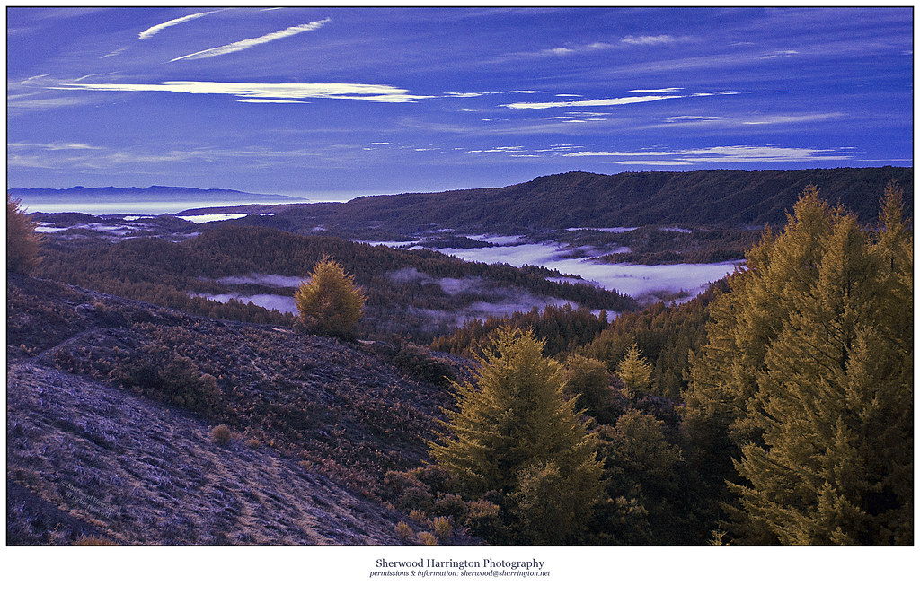
Morning Fog in the Valley [Explored]
california sky night airplane solar raw outdoor aircraft nasa clear vision mountainview sanfranciscobay takeoff runway hdr moffettfield solarpower solarenergy photomatix nasaames nightlaunch fav100 solarimpulse cleanenergy 1xp moffettfederalairfield nasaamesresearchcenter solarairplane cleanfuture nex6 solarindustry andréborschberg solaraircraft sel50f18
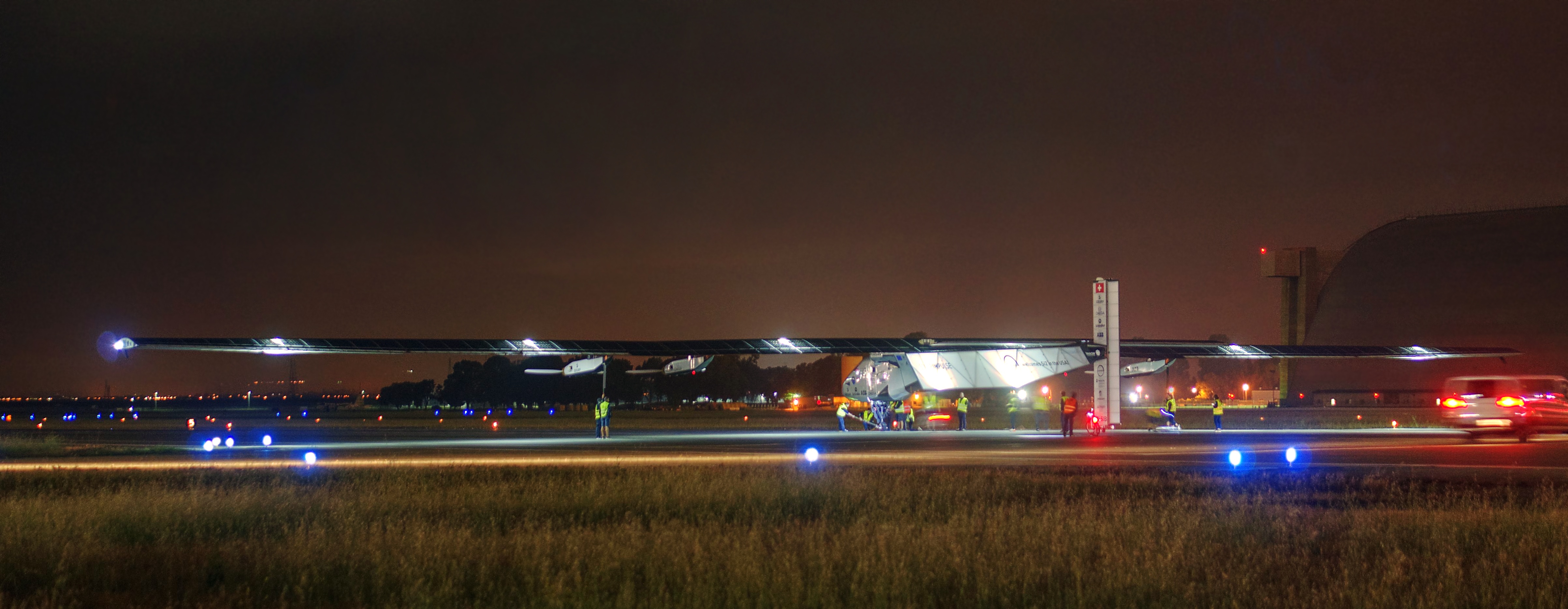
Solar Impulse taking off at Moffett Field for a historic flight around the world
california usa canon fire action 911 firetruck mountainview fireengine emergency ems firedepartment kme pumper santaclaracounty kovatch mvfd eos7d sccfd
CNT Engine 75
park mountain canon is view shoreline l usm tern 100400mm forsterstern forsters coth greatshots topshots specanimal photosandcalendar natureselegantshots panoramafotografico coth5 theoriginalgoldseal flickrsportal flickrportal ringexcellence dblringexcellence tplringexcellence eltringexcellence
IMG_1380 Let Me Feed You, Honey.
bridge illumination cupertino pedestrianbridge
Mary Avenue Bridge
park mountain canon is view shoreline l usm tern 100400mm forsterstern forsters coth supershot avianexcellence bestcapturesaoi ringexcellence dblringexcellence tplringexcellence
IMG_5922 Forster's Tern Hovering, Mountain View Shoreline Park, California
california trees nature landscape stanford woodside hdr rollinghills marinelayer portolavalley sanfranciscopeninsula coastalfog explored lateafternoonsunlight stanfordweekendacres
California Coastal Fog (explored)
park mountain view shoreline tern forsterstern forsters ringexcellence dblringexcellence tplringexcellence eltringexcellence
IMG_2314 Forster's Tern
californa canon5dmarkiii canonef24105mmf4lisusm lightroom5 mountainview rengstorffhouse sfbayarea sanfranciscobayarea southbay topazsw watertower
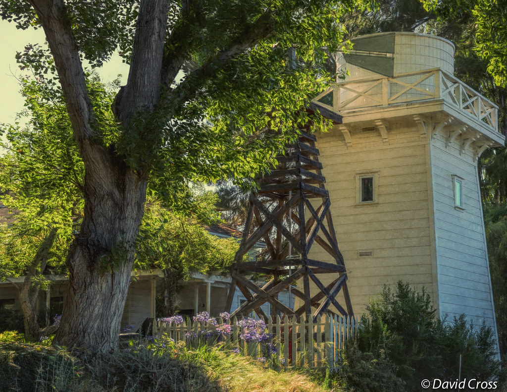
A Walk to Rengstorff House (circa 1867) (HFF)
california sculpture horse bluesky mountainview sgi silicongraphics drygrass deborahbutterfield bronzecasting driftwoodhorse
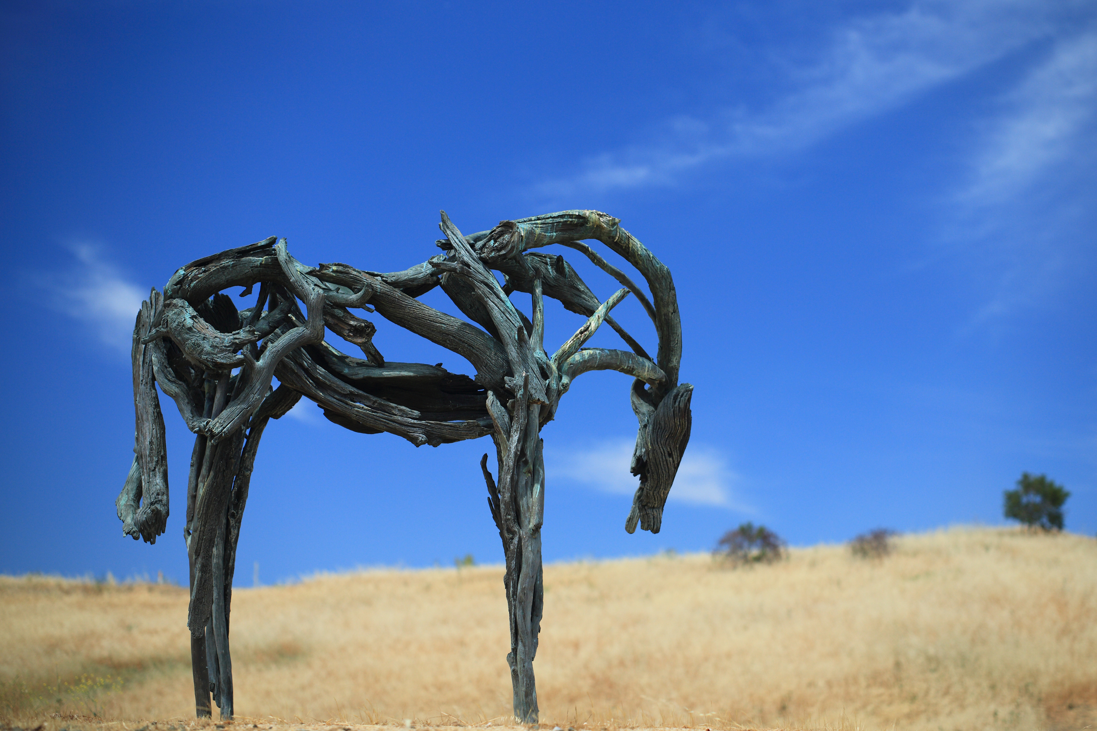
Bronze Horse by Deborah Butterfield
park mountain canon is view shoreline l usm tern 100400mm forsterstern forsters coth specanimal colorphotoaward coth5 dblringexcellence
IMG_1868 Forster's Tern, Mountain View Shoreline Park, CA
california sunset nature grass landscape hdr rollinghills windingroads arastraderopreserve d7000 californiaoaktrees magicunicornverybest topazdetail galleryoffantasticshots
Heavenly Shades of Night are Falling -- Reprise
california trees nature grass clouds landscape trails sunsets hdr rollinghills fieldsofgold arastraderopreserve d7000 daarklands magicunicornmasterpiece topazdetail explored7000
Fields of Gold
california park ca sunset favorite usa lake plant green nature water colors yellow canon landscape landscapes woods waterdrop colorful exposure bayarea greenwater canon60d platinumheartaward
Door of opportunities :)
california reflection garden japanesegarden spring raw day fuji saratoga clear bloom hdr wisteria waterreflection hakonegardens 3xp photomatix fav200 nex6 selp1650
Somewhere in heaven
california sunset nature grass landscape rollinghills blends d600 windingroads arastraderopreserve californiaoaktrees galleryoffantasticshots bestevercompetitiongroup
Home on the Farm
california sunset nature grass fog landscape hdr rollinghills sanfranciscopeninsula windingroads californiaoaktrees magicunicornverybest topazdetail
Heavenly shades of night are falling, it's twilight time ...
longexposure blackandwhite bw film analog kodak largeformat 5x7 txp canham pyrocathd saratogacreek largeformatmeetupgroup
morning light in Saratoga Creek
california road trees grass afternoon dirt grasses grassland palo alto grasslands arastradero
Arastradero Pasture
beautiful photo place
interesting place
tree lone fremontolder curtbianchi iphone4 lomob irisphotosuite
My Favorite Tree
longridge hdr3 sky clouds grass nature trail overcast story danielhoherd hdr field unitedstates danielaustinhoherd california 15mm nikond70 d70 nikon santacruzcounty cielo santacruz northerncalifornia sanfranciscobayarea ƒ22 iso200 ƒ220 sanmateocounty datetaken:month=09 datetaken:year=2007 datetaken:day=23 usa datetaken:date=20070923 sunday 云彩 天空 空 草 雲 구름 잔디 하늘 datetaken:calendarday=0923
Trail to Heaven
DSC00963.JPG
sunset landscape trails d600 rockpaper stanforddishtrail californiaoaktrees
Closing Time
panorama film grass 35mm fuji horizon hill fnd dry 202 sensia russianridge midpeninsularegionalopenspacedistrict
grassy hill
ca bay san francisco wildlife national don drawbridge edwards refuge
SF Bay
california nature grass landscape trails hdr rollinghills arastraderopreserve eucalyptustrees d7000 topazdetail rememberthatmomentlevel4 rememberthatmomentlevel1 rememberthatmomentlevel2 rememberthatmomentlevel3 rememberthatmomentlevel7 rememberthatmomentlevel5 rememberthatmomentlevel6
Gentle Afterglow
california sky grass clouds path trail bayarea april paloalto siliconvalley southbay arastradero arastraderopreserve
April Skies | Palo Alto
green nature beautiful landscape outdoors hiking path hike enchanting neverstopexploring enchan
Enchanted Path
blue sky reflection green water clouds mountainview stevenscreektrail
Shade and reflections
california trees sunset nature grass clouds landscape hdr coastalrange californiaoaks d7000 magicunicornverybest topazdetail galleryoffantasticshots
Trees and Rays