Elevation of Nootka Island, British Columbia V0P, Canada
Location: Canada > British Columbia > Strathcona > Comox-strathcona G >
Longitude: -126.78946
Latitude: 49.6842999
Elevation: 364m / 1194feet
Barometric Pressure: 97KPa
Elevation Map:
Satellite Map:
Related Photos:
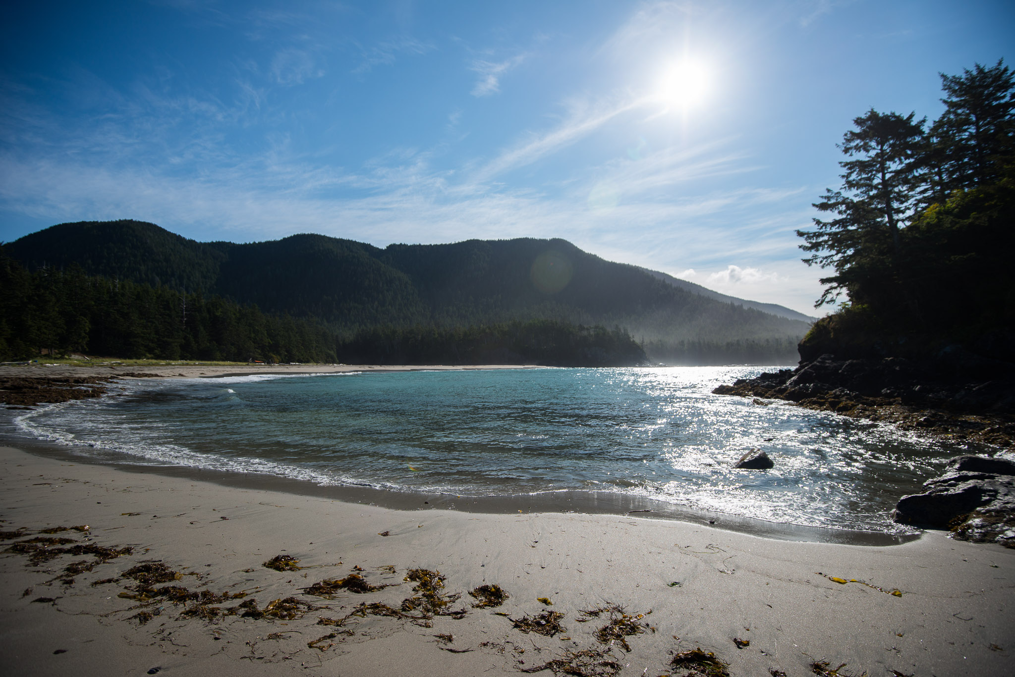
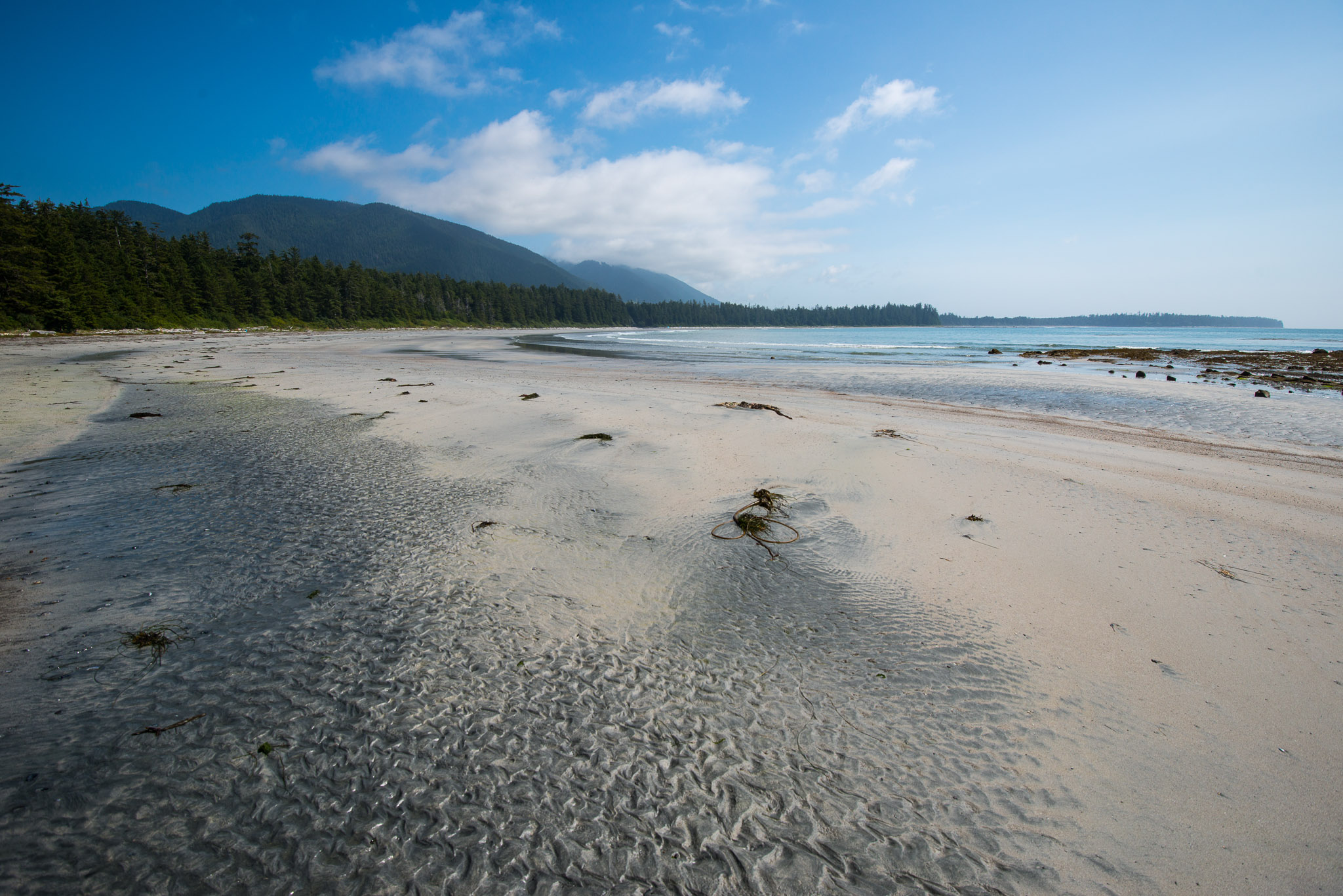
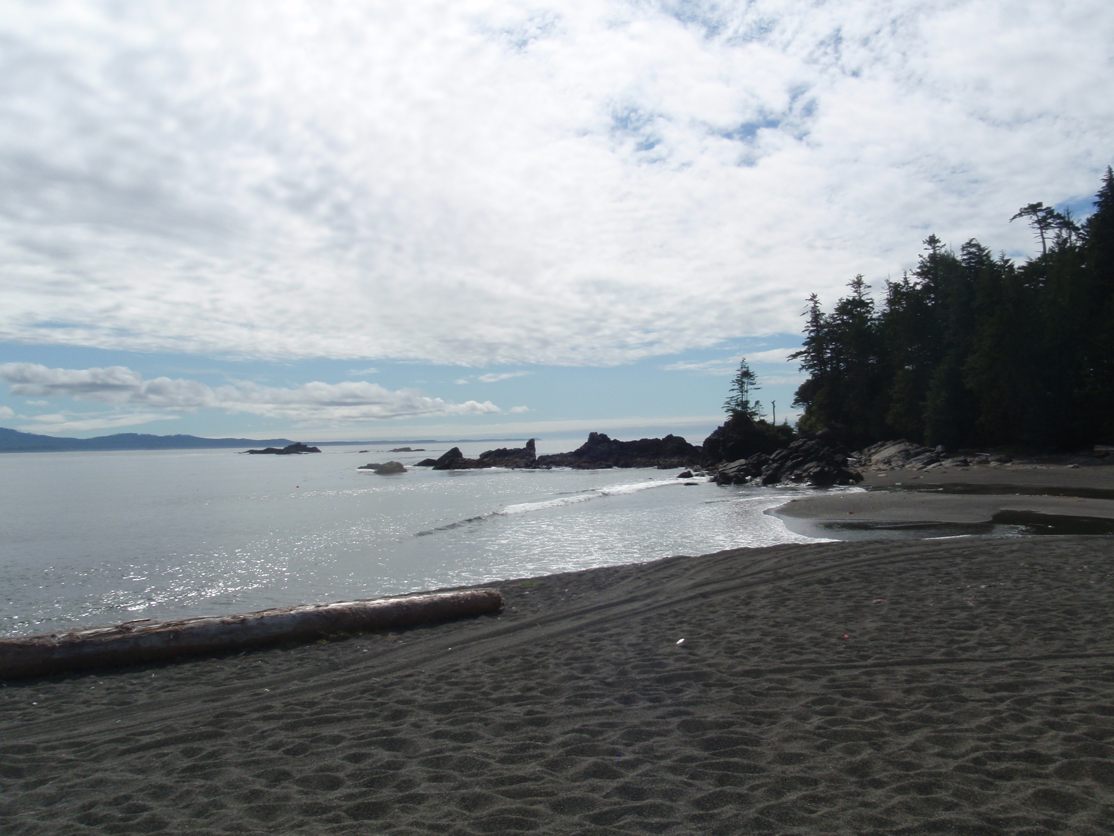
Third Beach
Tongue Point
View from Yuquot
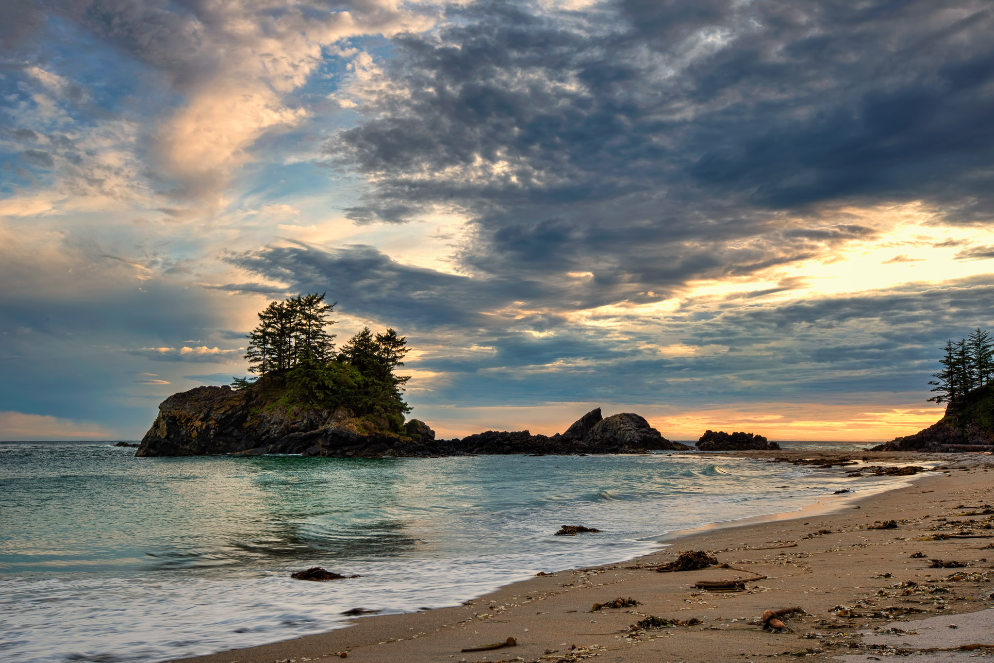
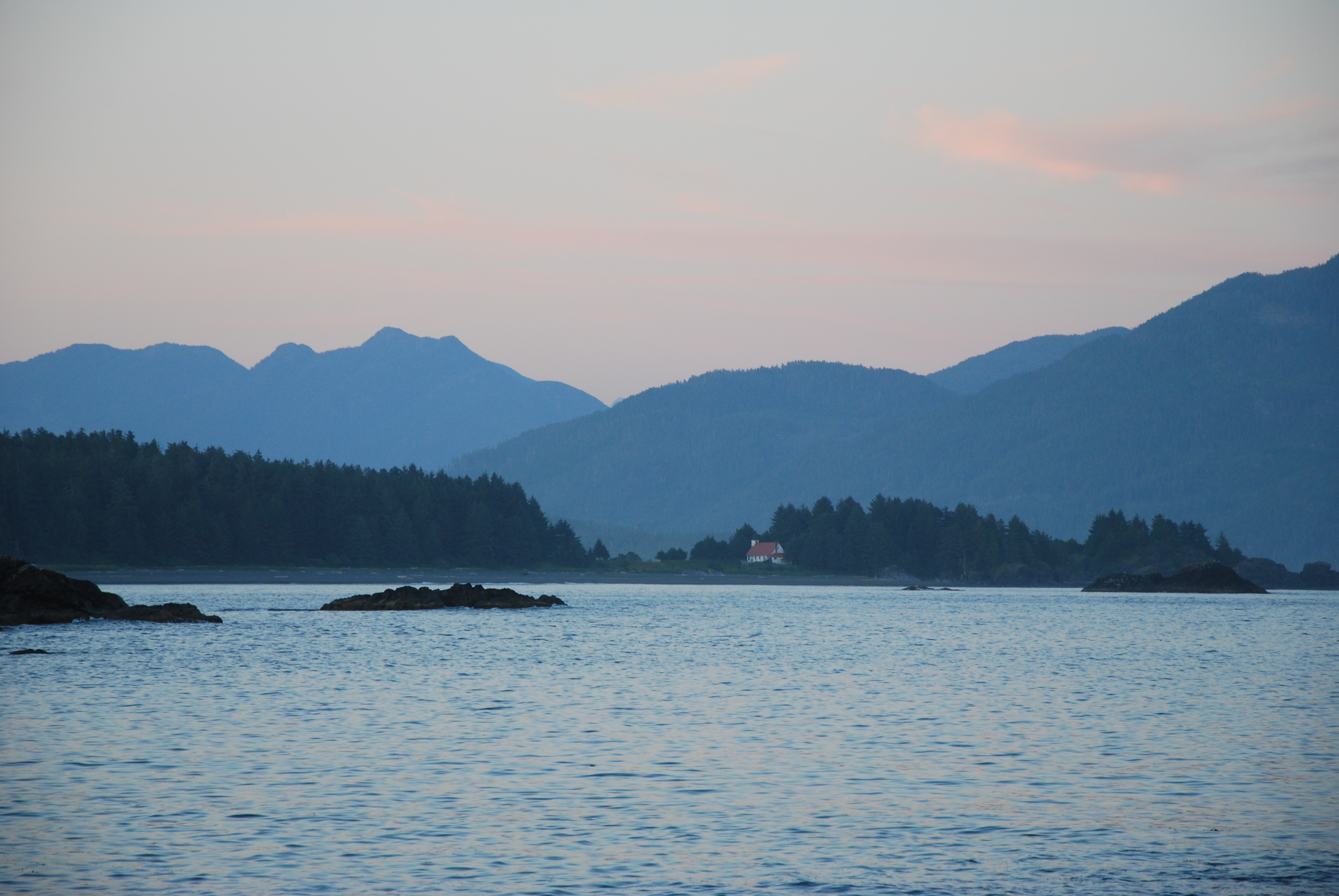
Sundown 1
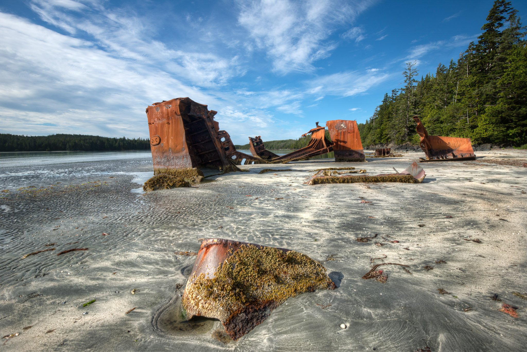
Wreck 1
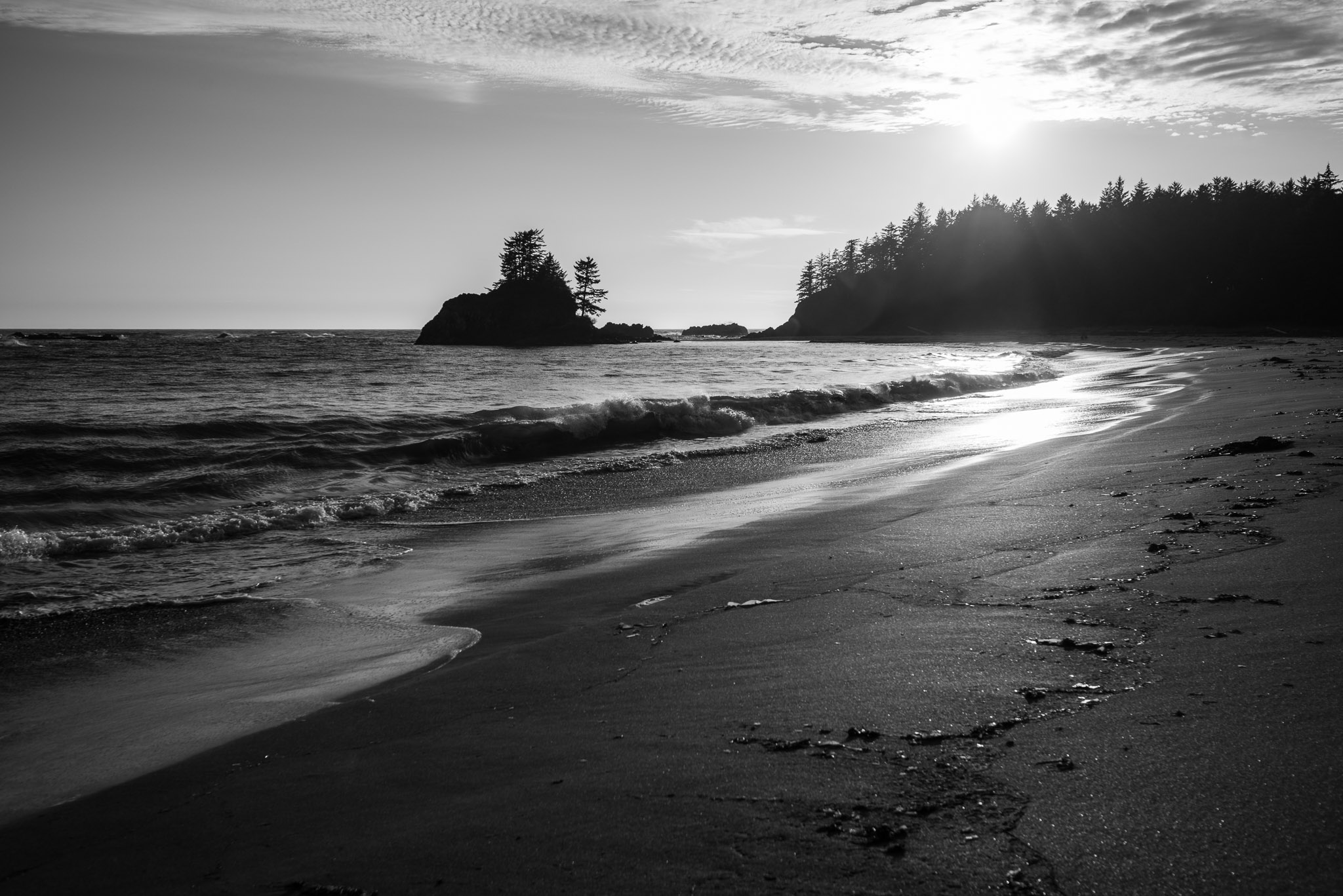
Sundown 3
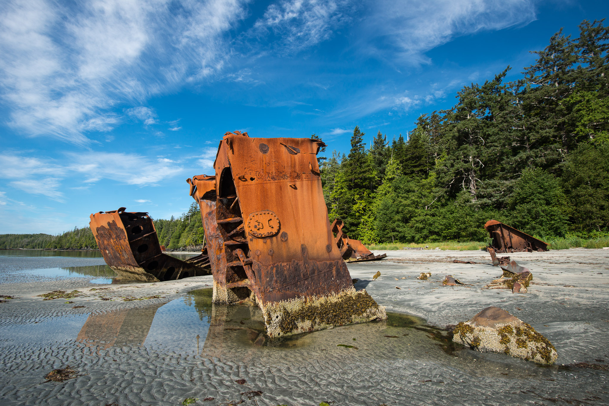
Wreck 2
Calvin Falls
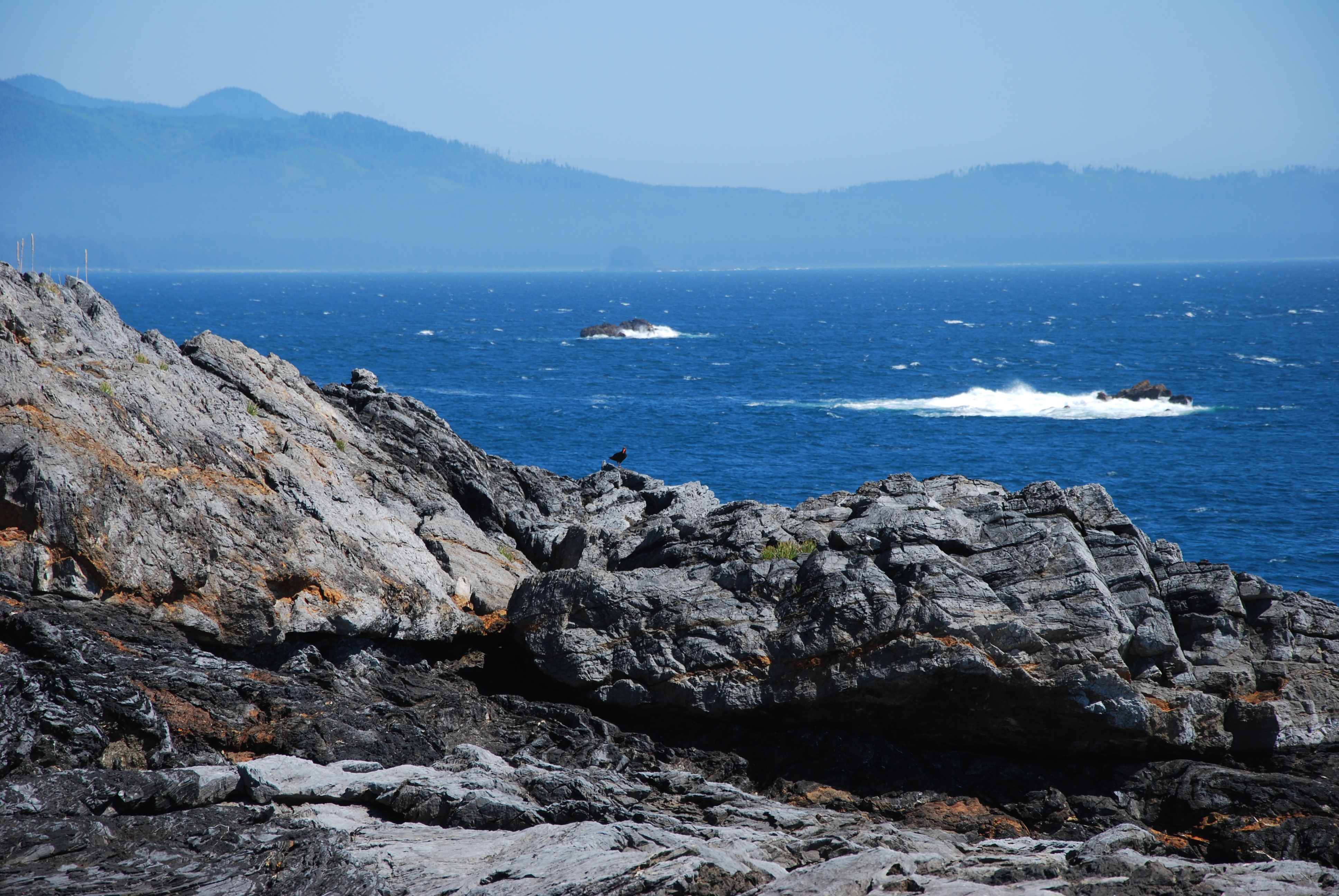
Oystercatcher at Maquinna Point
Near the tidal lagoon
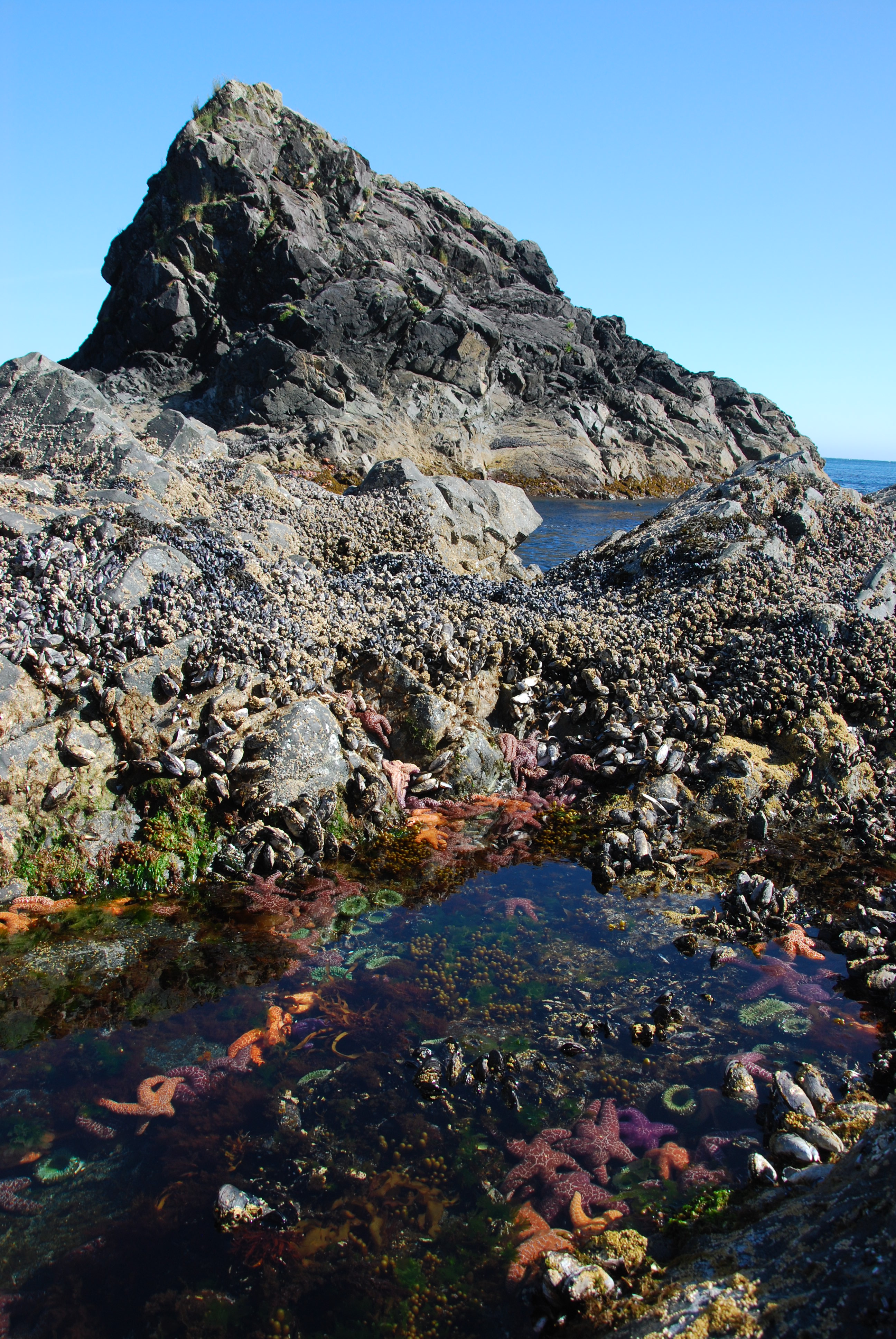
Tide pool
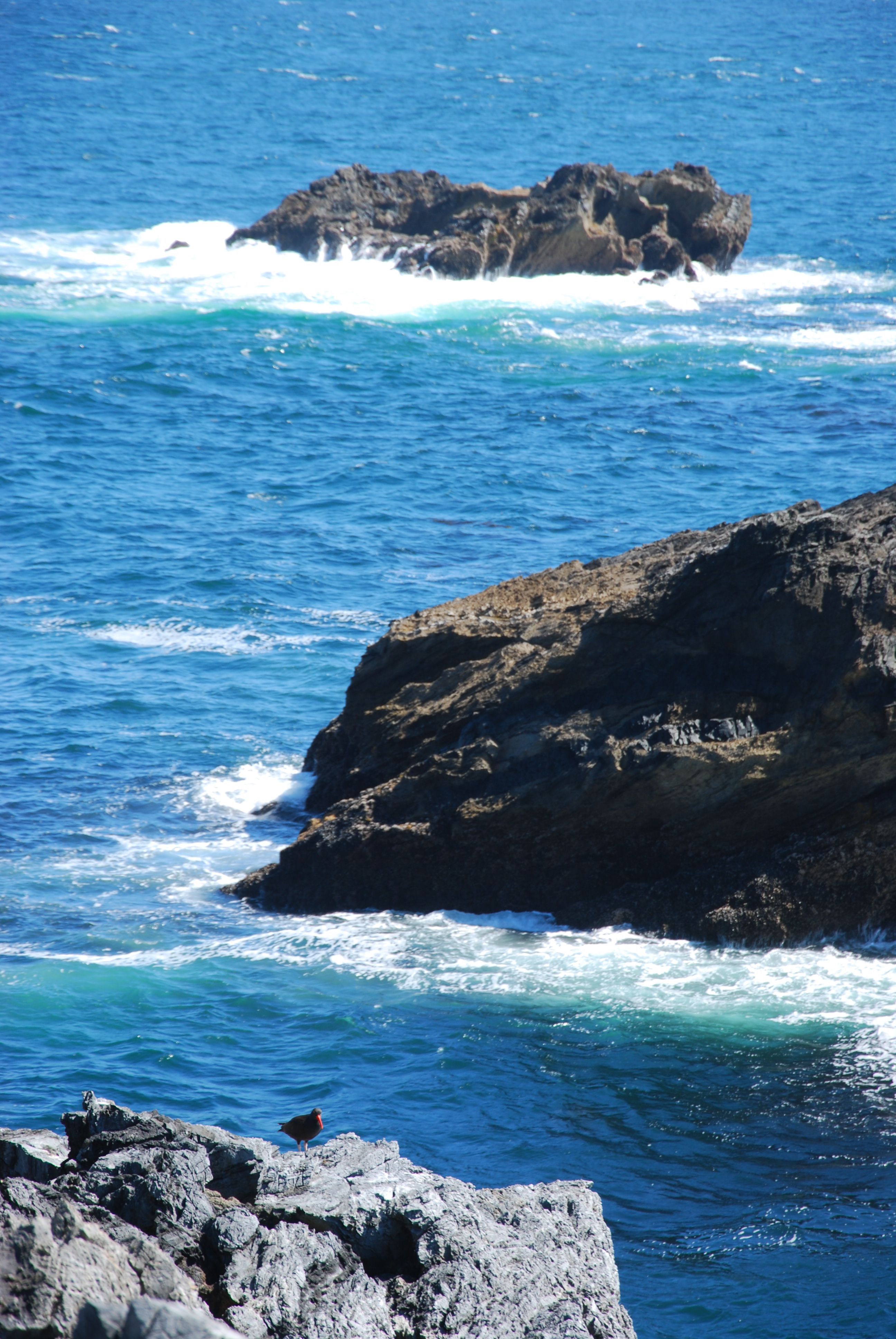
Oystercatcher at Maquinna Point
Camping in sight of Yuquot
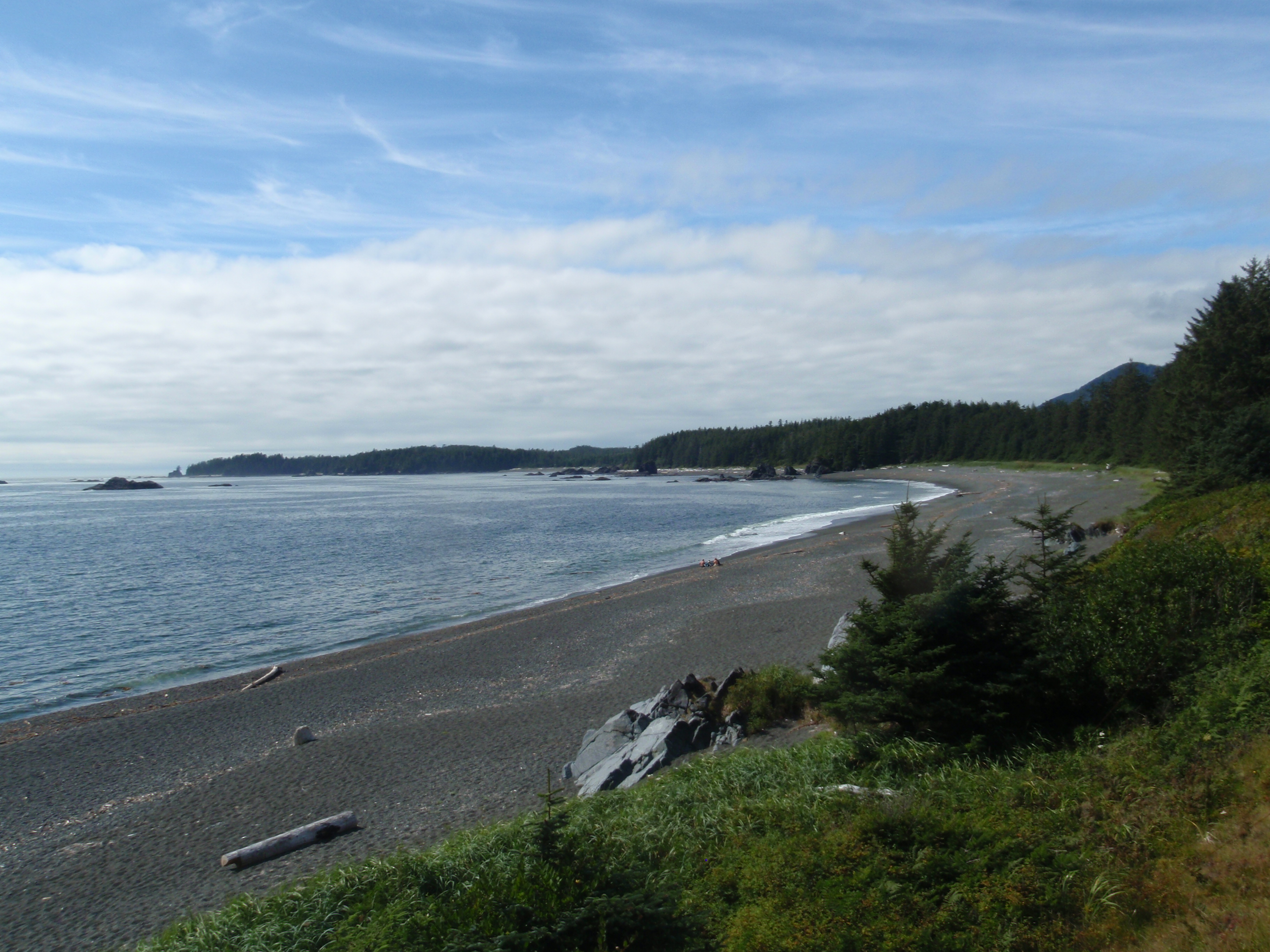
Looking west from Maquinna Point
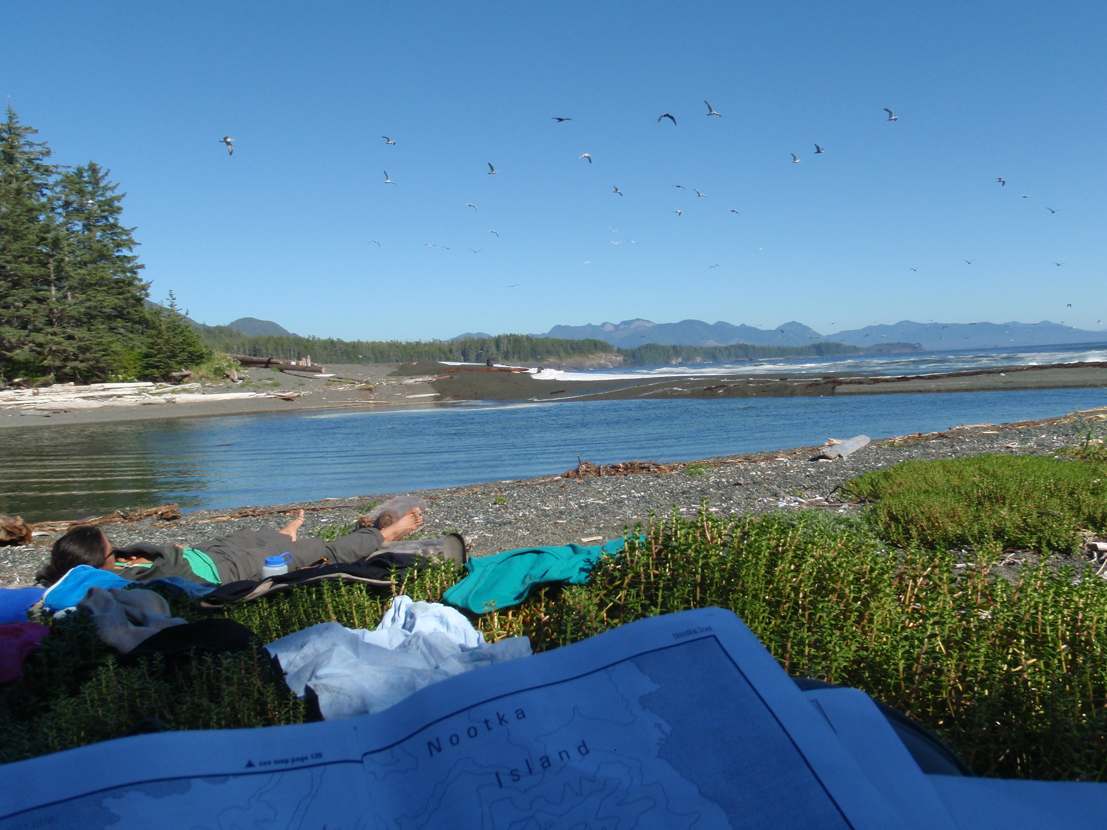
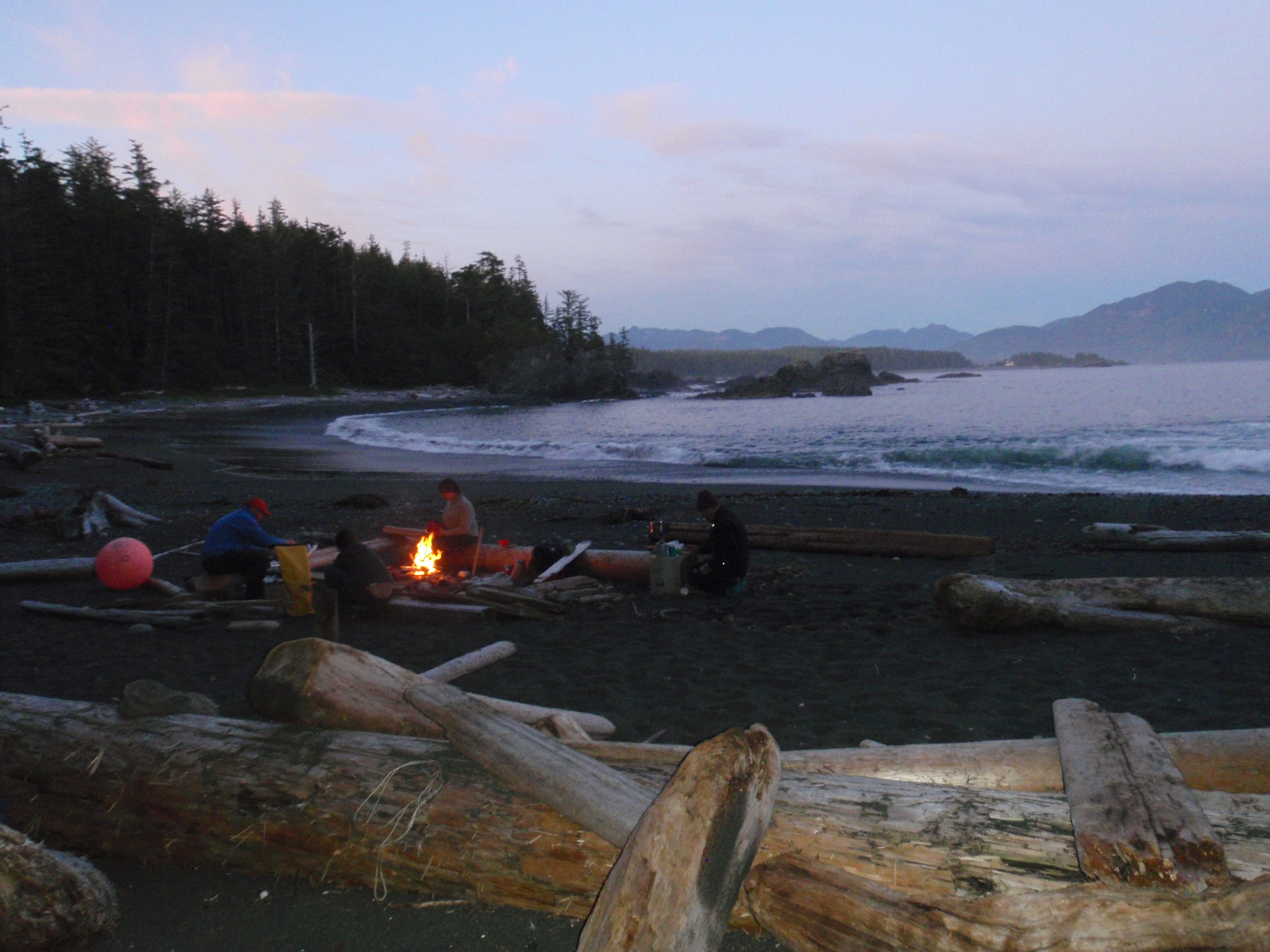
Another relaxing afternoon on the beach - Beano Creek
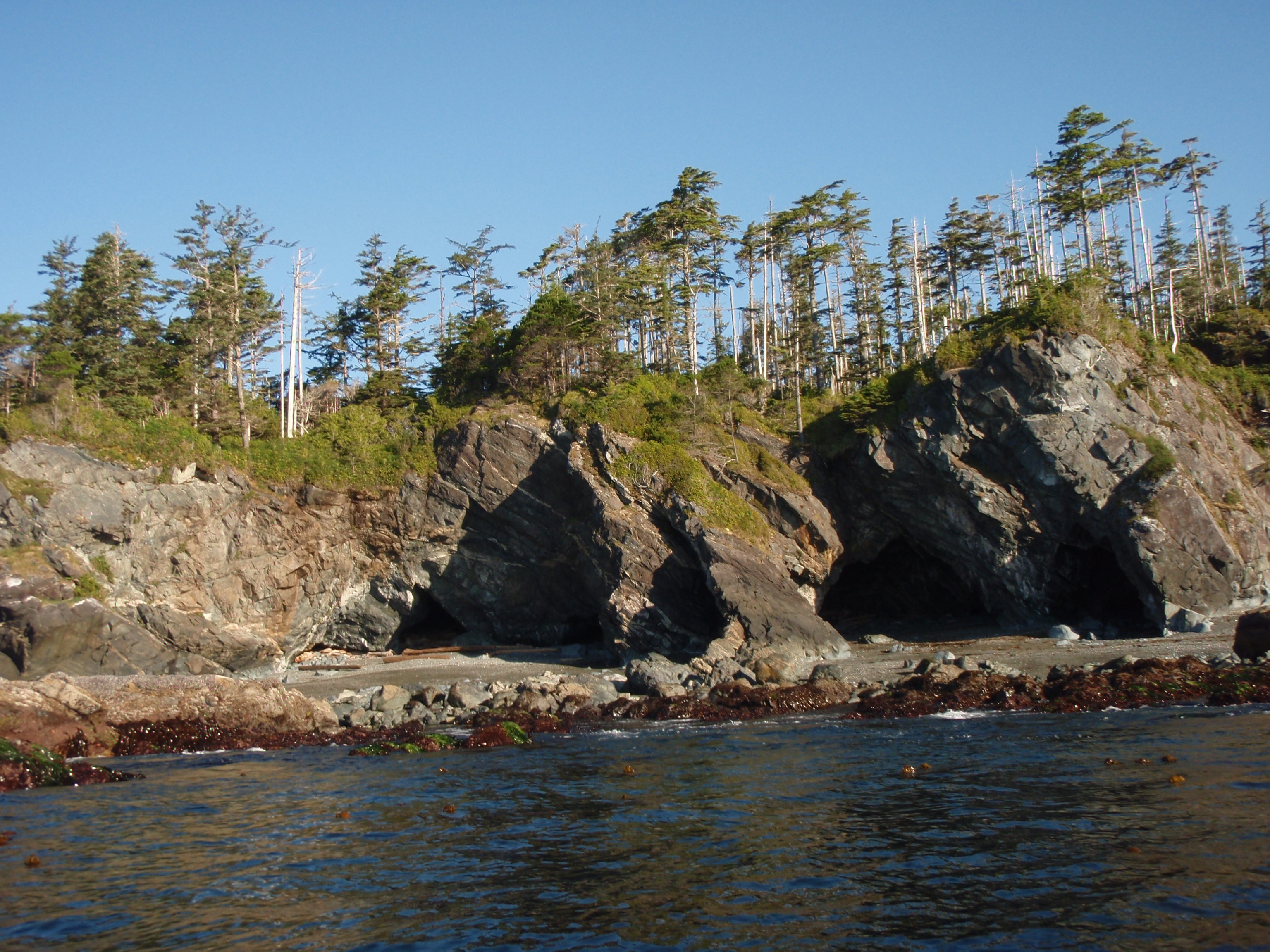
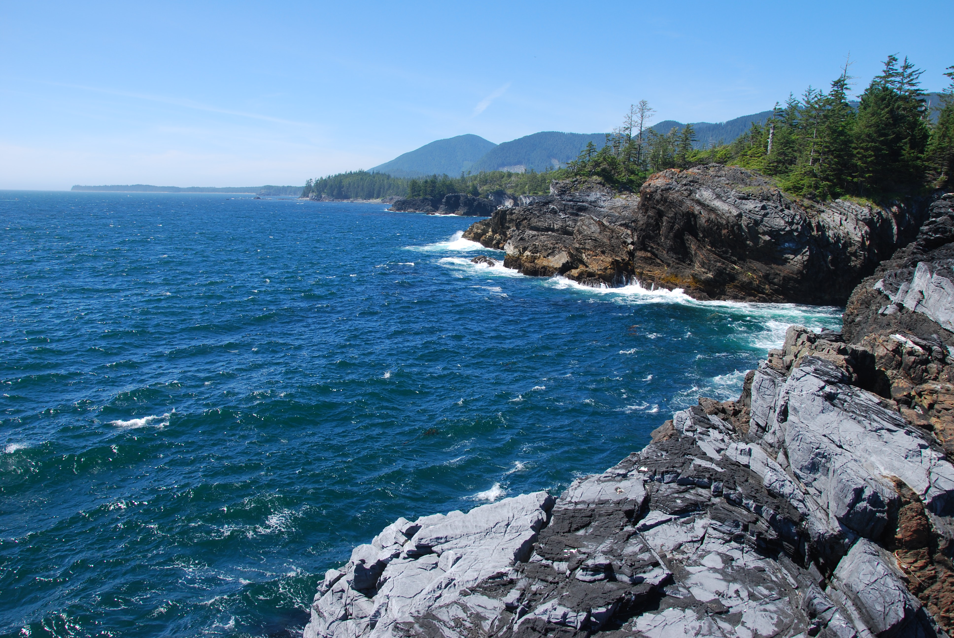
Sea cliffs, caves and arches

Maquinna Point
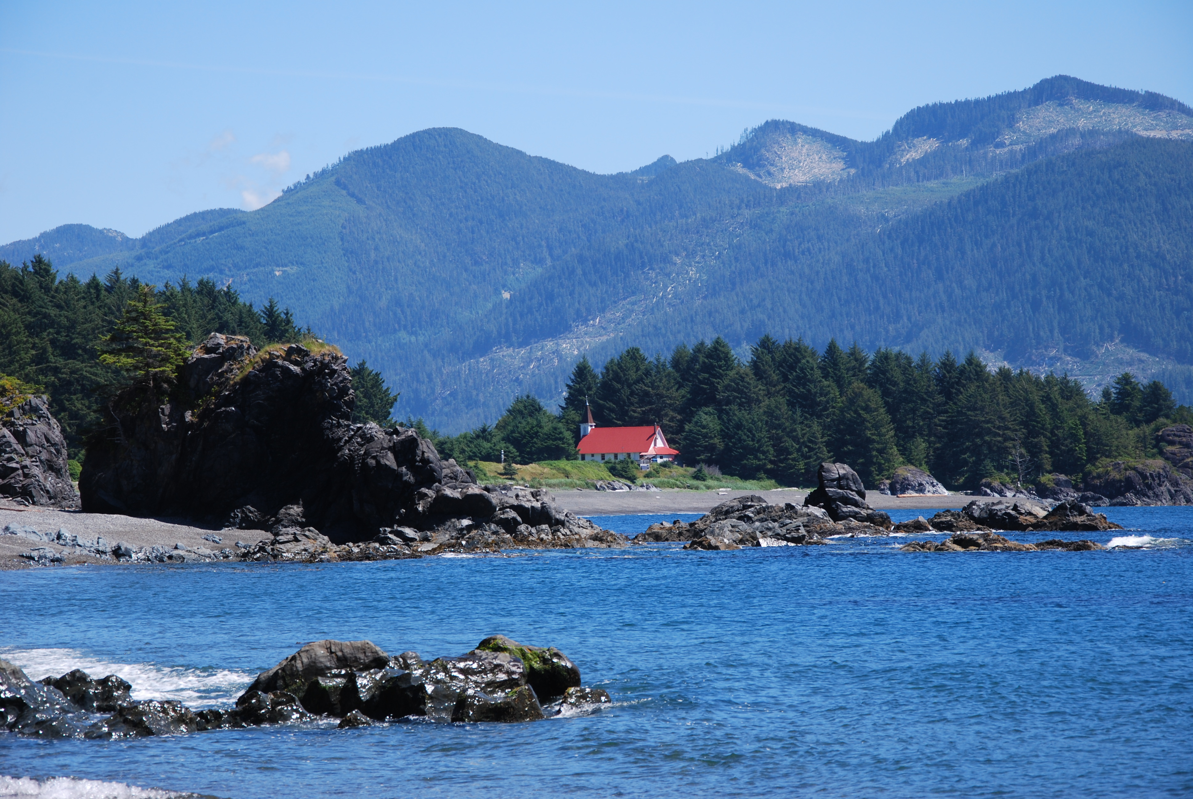
Yuquot Church

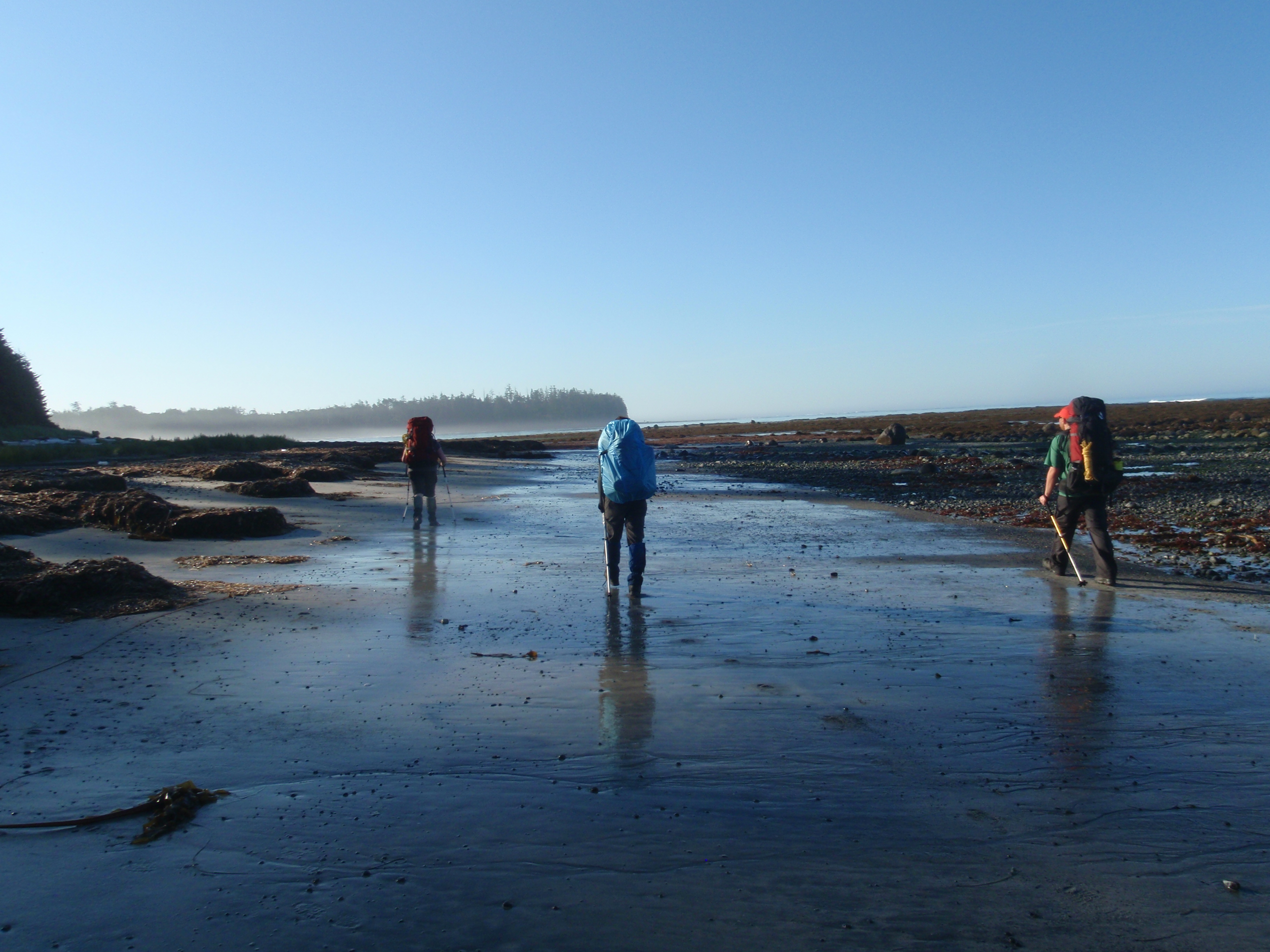
Hiking back to our campsite
Yuquot from our camp
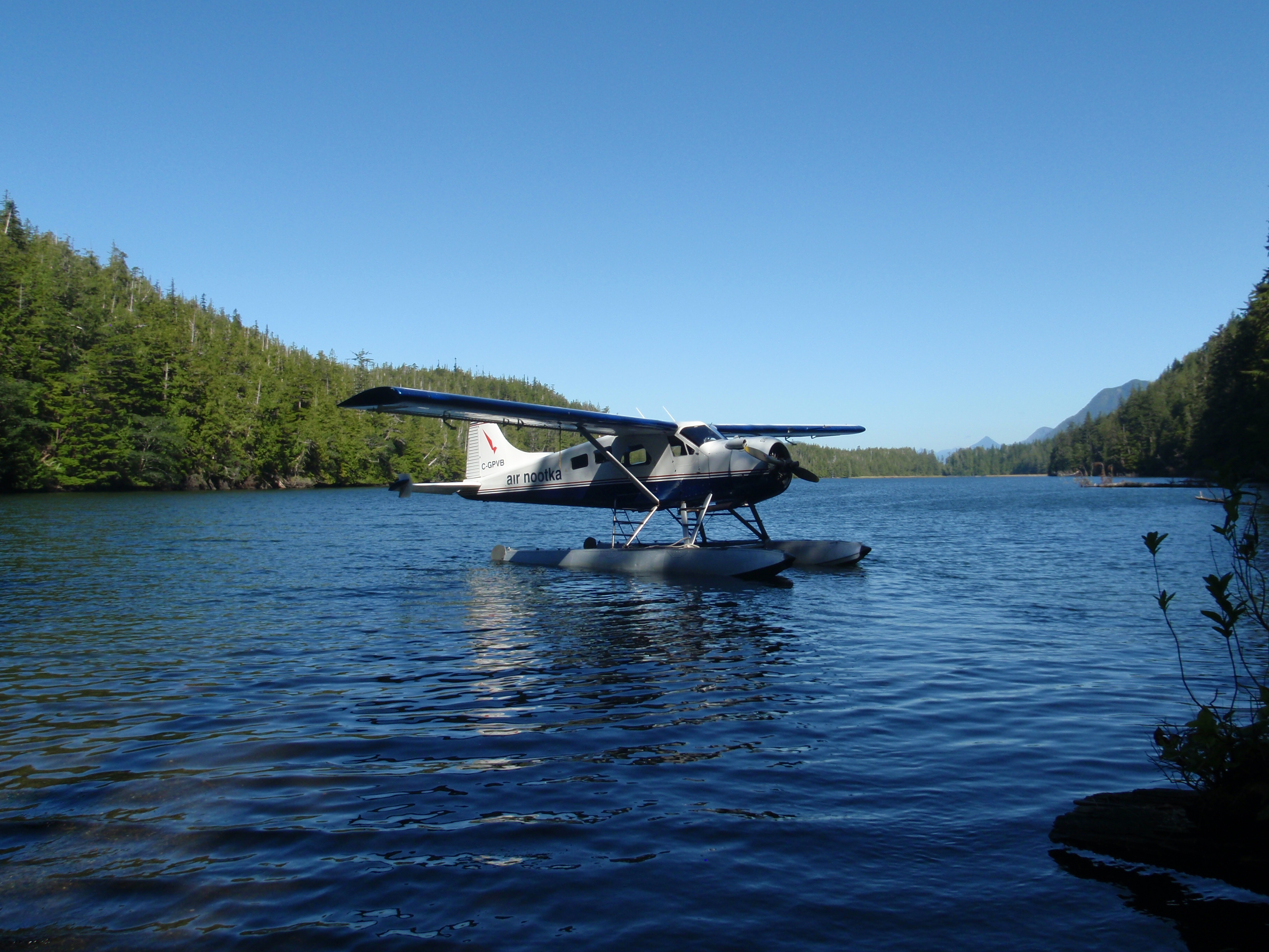
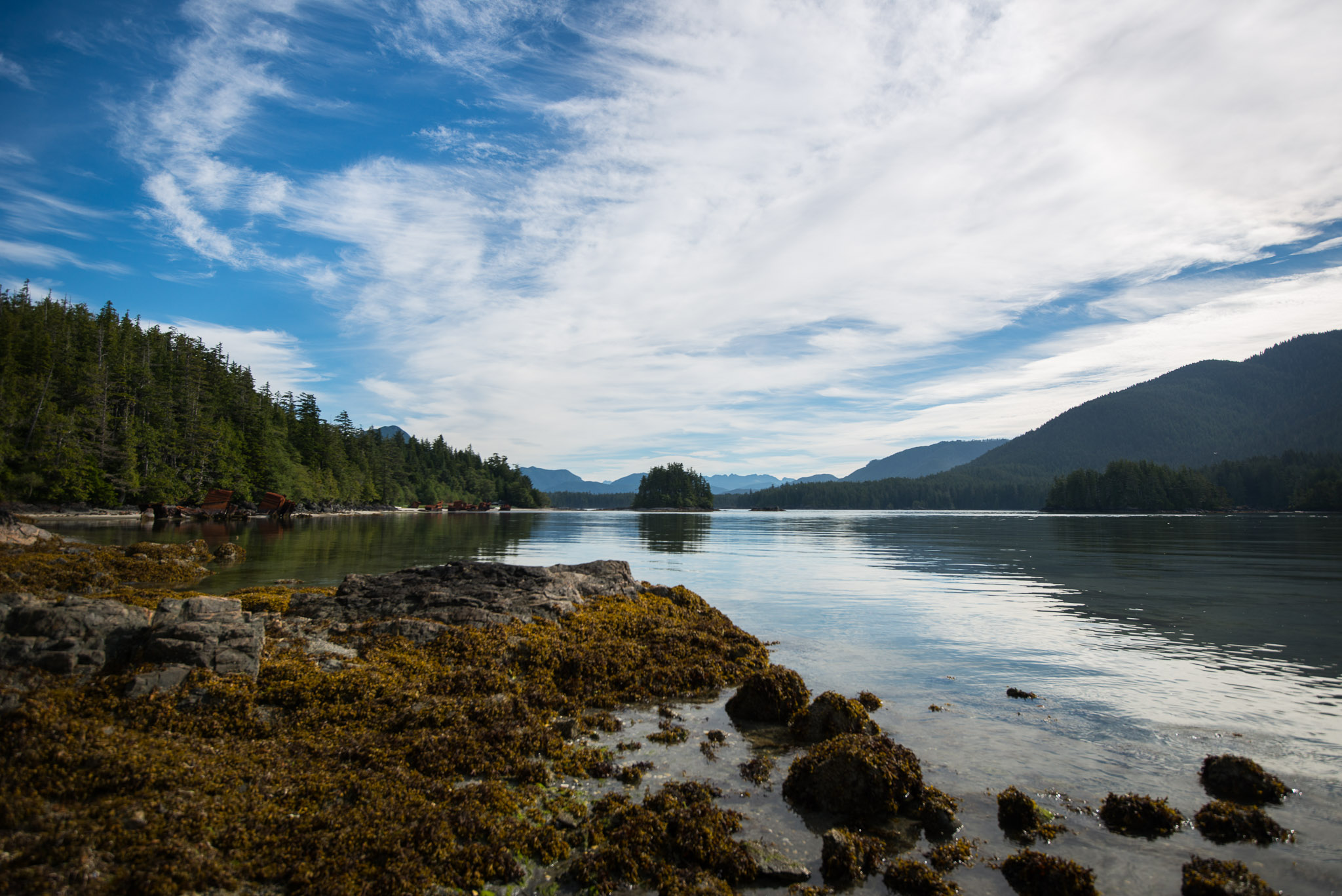
Air Nootka's Beaver in Starfish Lagoon
Leaving Calvin Falls
Topographic Map of Nootka Island, British Columbia V0P, Canada
Find elevation by address:

Places near Nootka Island, British Columbia V0P, Canada:
Zeballos
Strathcona
Anvil Peak
17 Klaklakama Ave
7 Cain Dr
Woss
Little Huson Caves Parking Lot
Mount Waddington D
Garibaldi Peaks
V0p 1j0
Nimpkish Lake Provincial Park
Telegraph Cove Campground
Telegraph Cove Rd, Telegraph Cove, BC V0N 3J0, Canada
Stubbs Island Whale Watching
Alder Bay Rv Park & Marina
Alert Bay
Mine Rd, Port McNeill, BC V0N 2R0, Canada
Broughton Strait Campsite
Port Mcneill
Cayuse Creek
Recent Searches:
- Elevation of Corso Fratelli Cairoli, 35, Macerata MC, Italy
- Elevation of Tallevast Rd, Sarasota, FL, USA
- Elevation of 4th St E, Sonoma, CA, USA
- Elevation of Black Hollow Rd, Pennsdale, PA, USA
- Elevation of Oakland Ave, Williamsport, PA, USA
- Elevation of Pedrógão Grande, Portugal
- Elevation of Klee Dr, Martinsburg, WV, USA
- Elevation of Via Roma, Pieranica CR, Italy
- Elevation of Tavkvetili Mountain, Georgia
- Elevation of Hartfords Bluff Cir, Mt Pleasant, SC, USA