Elevation of 17 Klaklakama Ave, Woss, BC V0N 3P0, Canada
Location: Canada > British Columbia > Mount Waddington > Mount Waddington D > Woss >
Longitude: -126.59850
Latitude: 50.2102645
Elevation: 169m / 554feet
Barometric Pressure: 99KPa
Elevation Map:
Satellite Map:
Related Photos:
High Ground
Alkan2017-104A

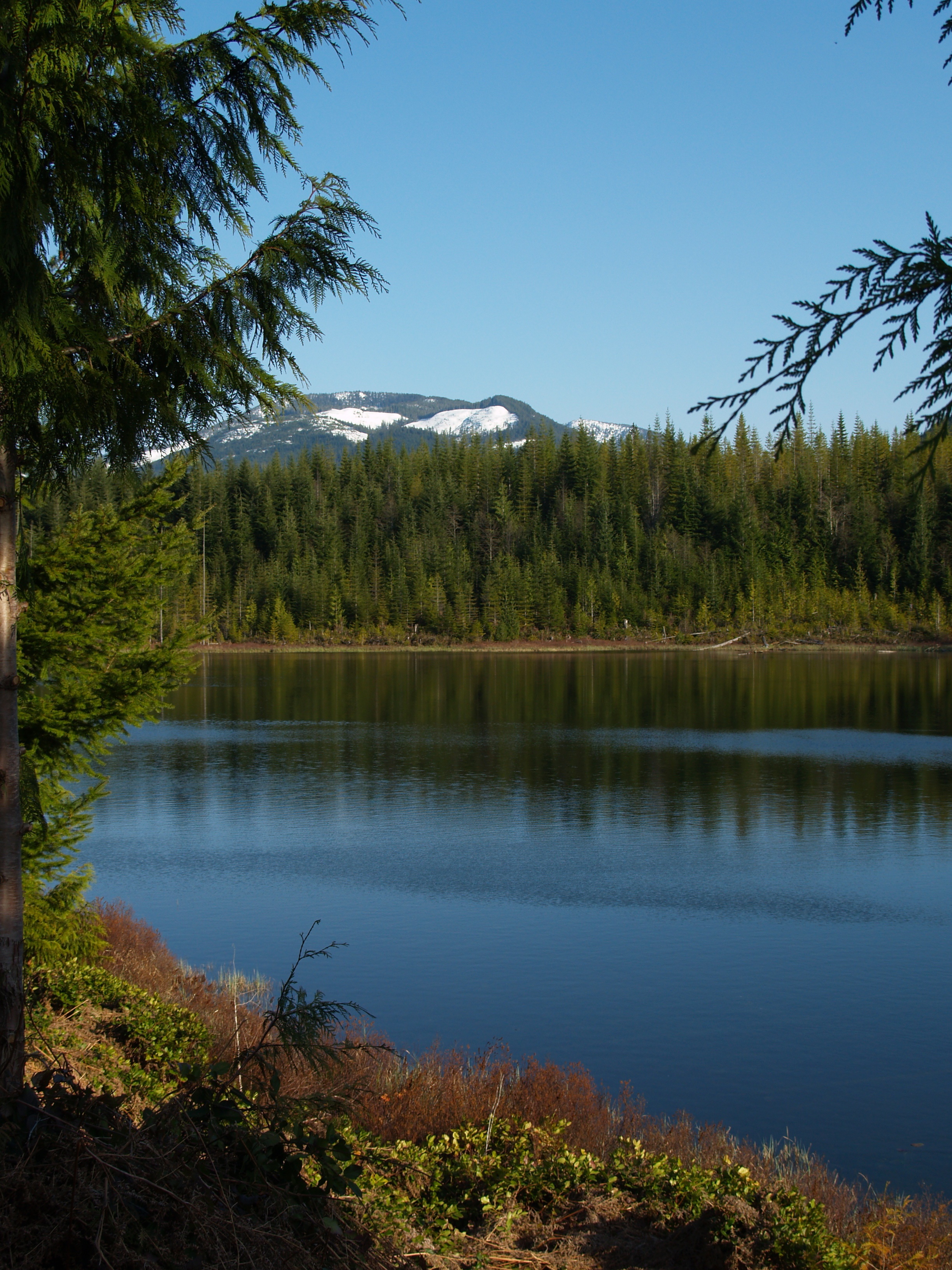
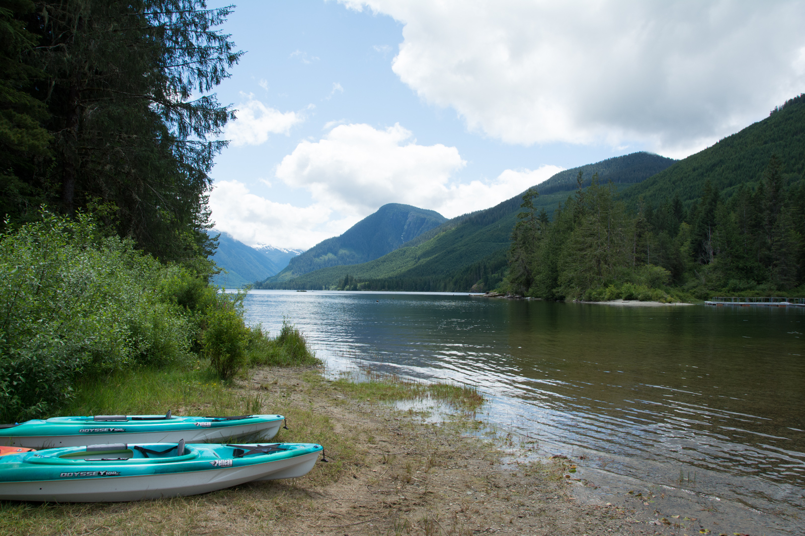
Hoomak Lake
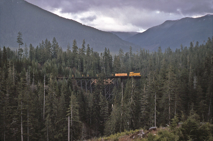
Gold Creek Overpass
Groves Creek
North-bound at Gold Creek.
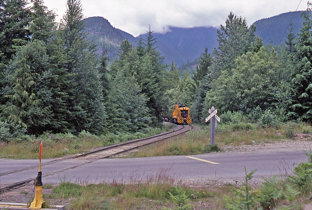
Near Woss
Alaska to Mexico
Hoomak Lake
Approaching the Junction
Mile 27.3

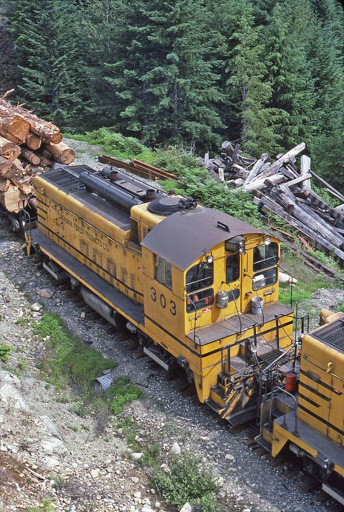
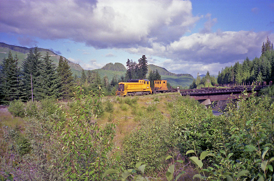
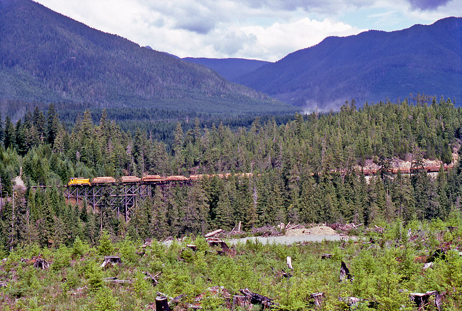
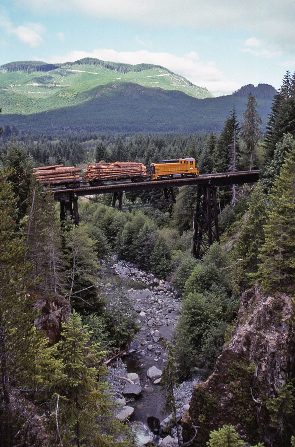
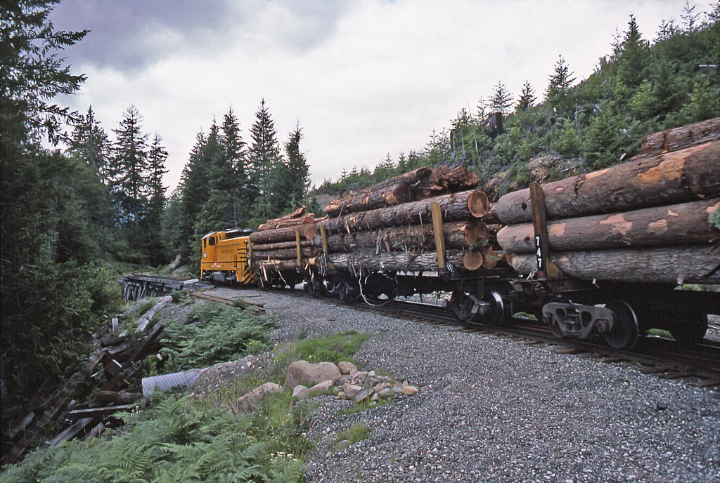
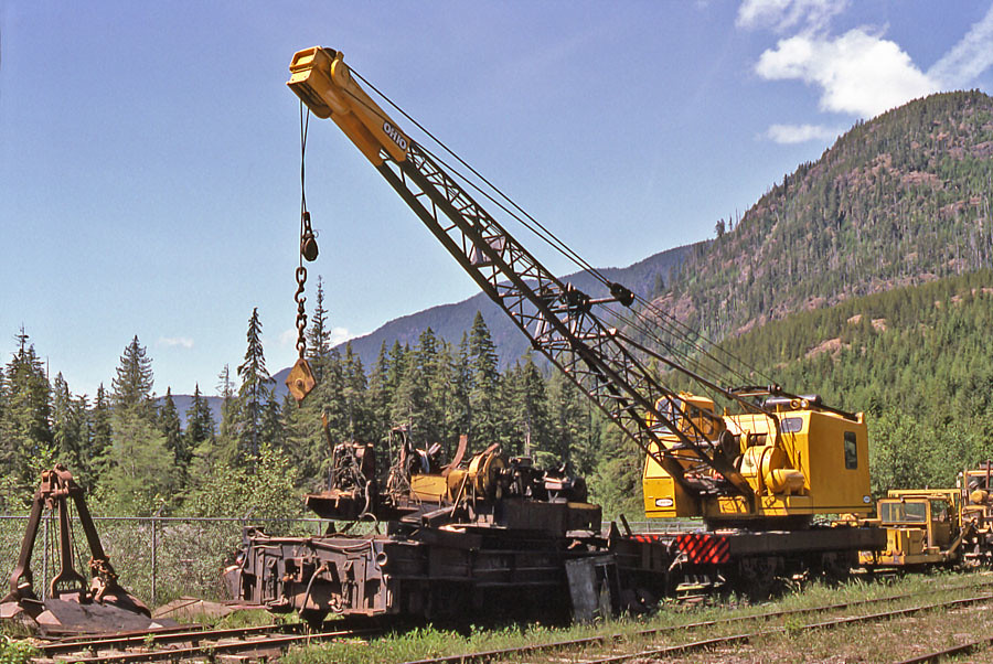
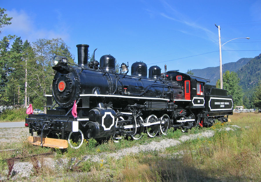
Western Forest Products Englewood Railway ~ Woss
Alkan2017-104
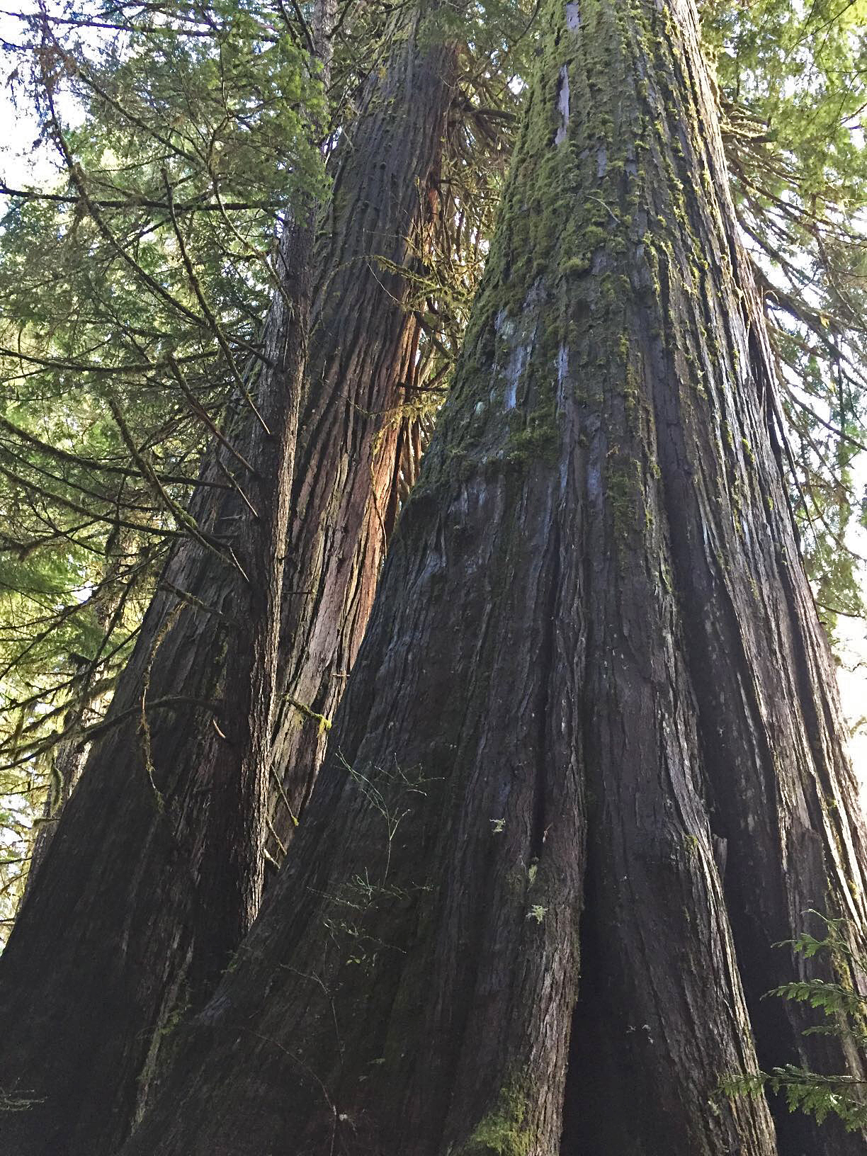
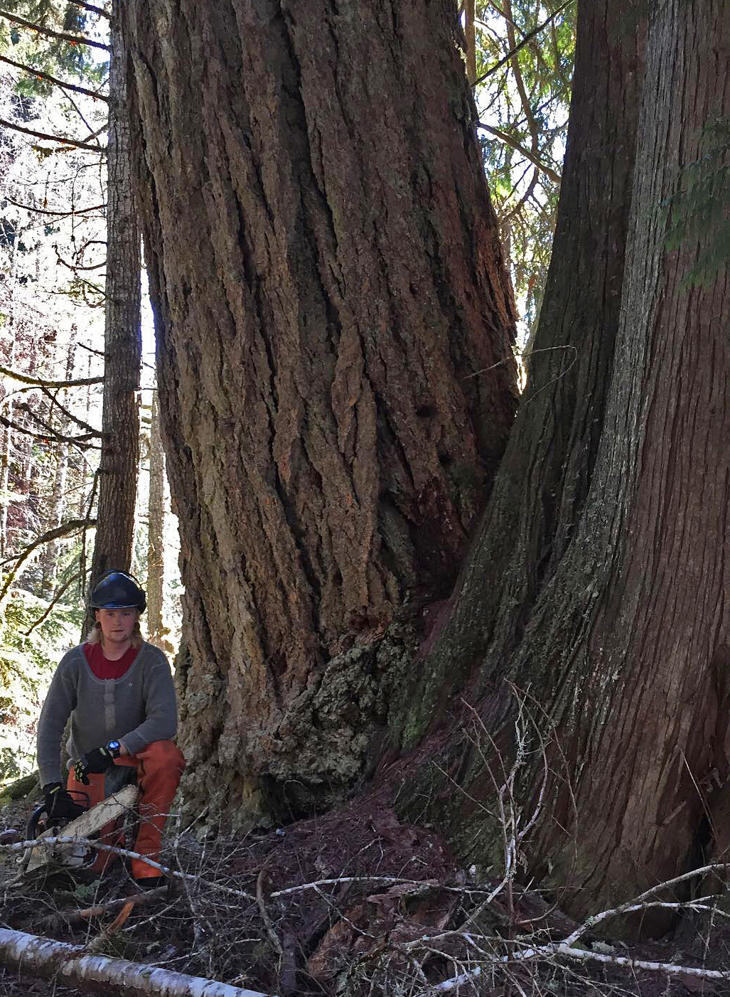
Davie-1 redcedars
Pete LaValley at og fir & redcedar
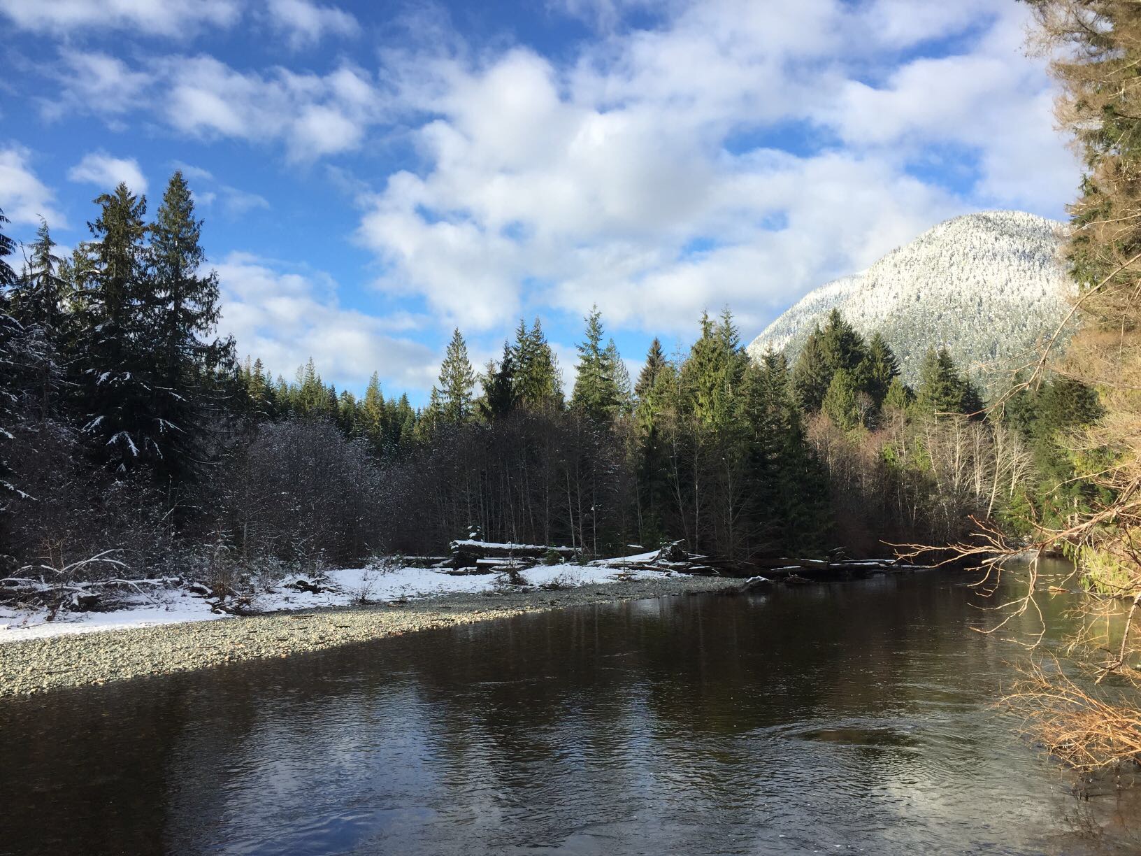
Davie River at mid Davie 2
The Junction
Nature's Garden
End of the American
New Paint
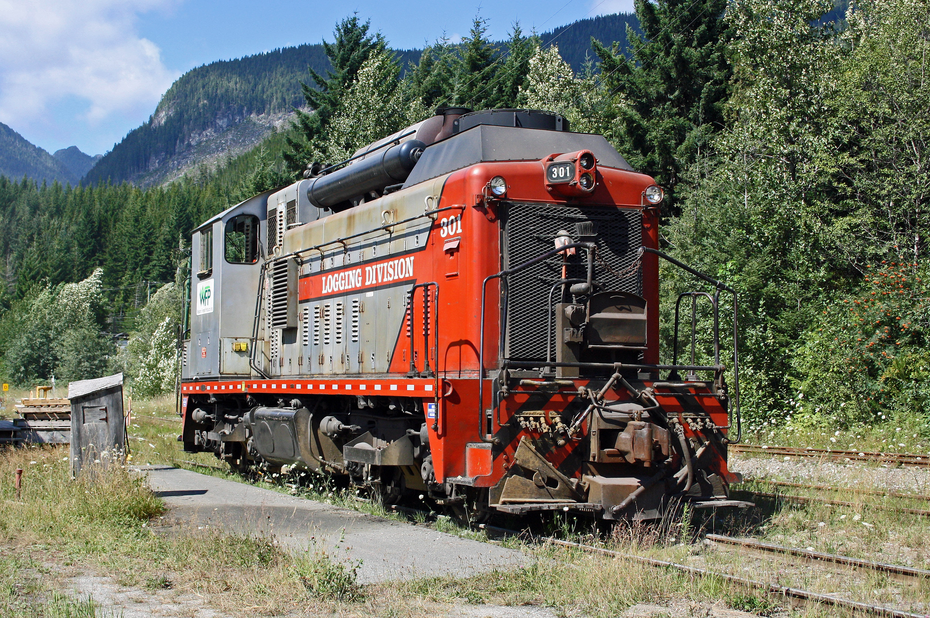
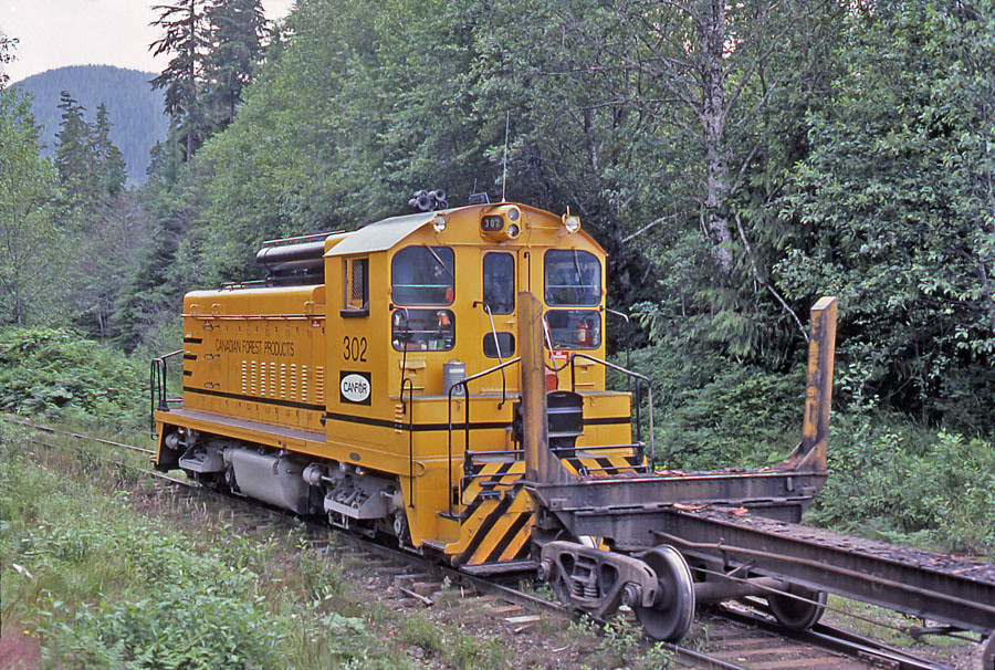
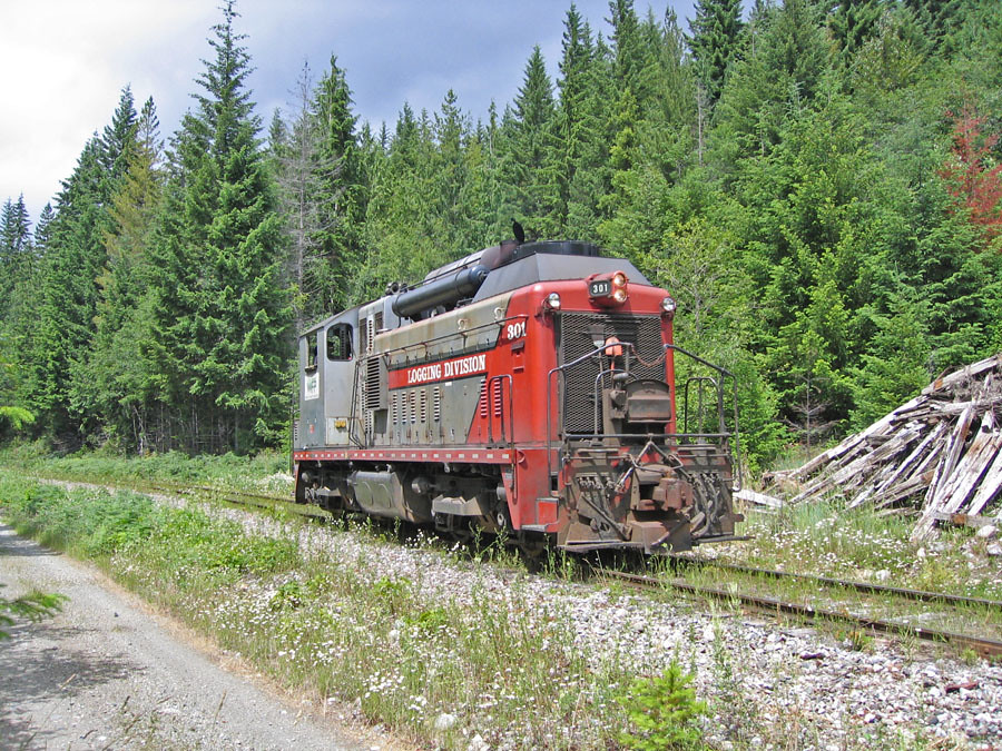
WFP 301 ~ Woss

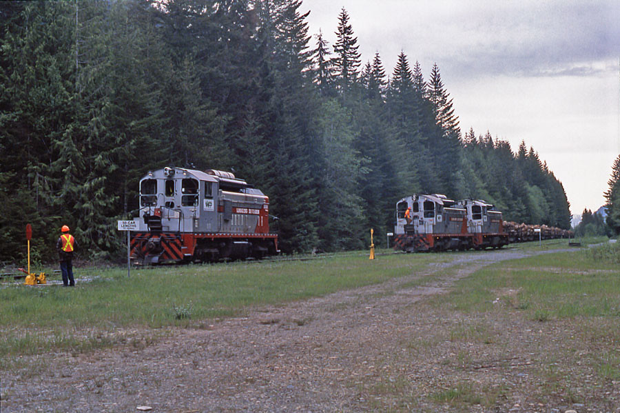
Siding 4 Meet
2015-08 Cape Scott Expedition
Woss Cutoff
Exchanging Trains
Groves Creek
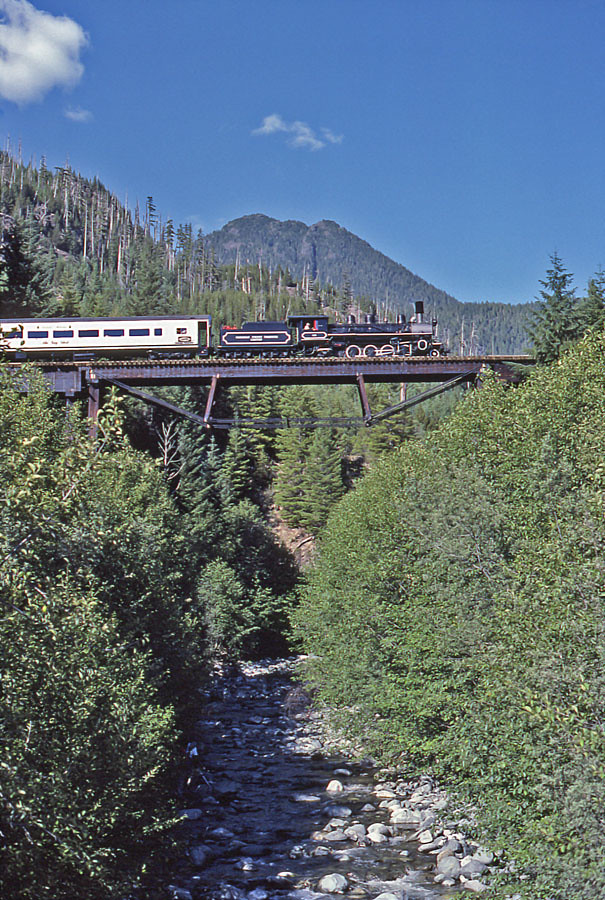
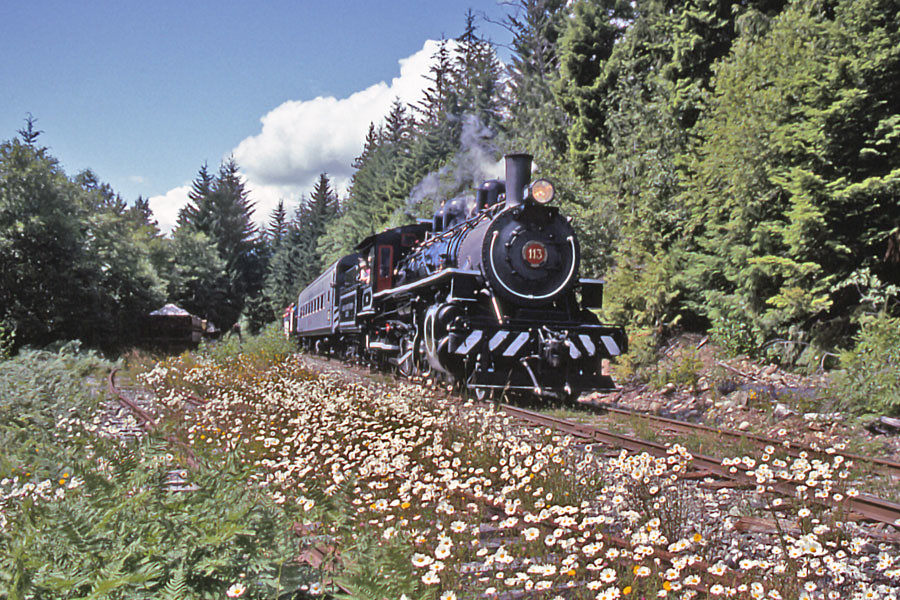
Steam over Gold
Topographic Map of 17 Klaklakama Ave, Woss, BC V0N 3P0, Canada
Find elevation by address:

Places near 17 Klaklakama Ave, Woss, BC V0N 3P0, Canada:
7 Cain Dr
Woss
Mount Waddington D
Zeballos
Little Huson Caves Parking Lot
Telegraph Cove Campground
Telegraph Cove Rd, Telegraph Cove, BC V0N 3J0, Canada
Stubbs Island Whale Watching
Nimpkish Lake Provincial Park
Alder Bay Rv Park & Marina
Alert Bay
Nootka Island
Anvil Peak
Port Mcneill
Mine Rd, Port McNeill, BC V0N 2R0, Canada
Broughton Strait Campsite
Strathcona
Garibaldi Peaks
Broughton Strait
V0p 1j0
Recent Searches:
- Elevation of Corso Fratelli Cairoli, 35, Macerata MC, Italy
- Elevation of Tallevast Rd, Sarasota, FL, USA
- Elevation of 4th St E, Sonoma, CA, USA
- Elevation of Black Hollow Rd, Pennsdale, PA, USA
- Elevation of Oakland Ave, Williamsport, PA, USA
- Elevation of Pedrógão Grande, Portugal
- Elevation of Klee Dr, Martinsburg, WV, USA
- Elevation of Via Roma, Pieranica CR, Italy
- Elevation of Tavkvetili Mountain, Georgia
- Elevation of Hartfords Bluff Cir, Mt Pleasant, SC, USA