Elevation of Nimpkish Lake Provincial Park, Mount Waddington D, BC V0N, Canada
Location: Canada > British Columbia > Mount Waddington > Mount Waddington D >
Longitude: -127.00303
Latitude: 50.33
Elevation: 316m / 1037feet
Barometric Pressure: 98KPa
Elevation Map:
Satellite Map:
Related Photos:

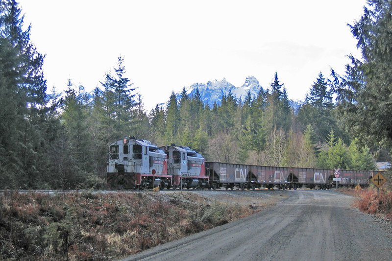
WFP 304 ~ Camp A Reload

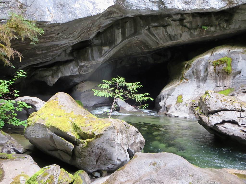
Huson Caves Regional Park

WFP 302 ~ Nimpkish Valley

WFP 302 ~ Nimpkish Valley
Ballast Train

Atluck Creek Flowing
Atluck Creek

Natural Bridge

Mile 26

Mile 12.0

When Things Go Wrong

Halfway Island bypass

Hot Loading

Approaching Lutz Crossing

Sun shines through the trees while on the road in Vancouver Island.
Topographic Map of Nimpkish Lake Provincial Park, Mount Waddington D, BC V0N, Canada
Find elevation by address:

Places near Nimpkish Lake Provincial Park, Mount Waddington D, BC V0N, Canada:
Little Huson Caves Parking Lot
Alder Bay Rv Park & Marina
Garibaldi Peaks
Alert Bay
Mine Rd, Port McNeill, BC V0N 2R0, Canada
Broughton Strait Campsite
Port Mcneill
Telegraph Cove Rd, Telegraph Cove, BC V0N 3J0, Canada
Telegraph Cove Campground
Stubbs Island Whale Watching
Broughton Strait
Zeballos
Anvil Peak
Mount Waddington C
7 Cain Dr
17 Klaklakama Ave
Woss
V0p 1j0
Mount Waddington D
Cayuse Creek
Recent Searches:
- Elevation of Corso Fratelli Cairoli, 35, Macerata MC, Italy
- Elevation of Tallevast Rd, Sarasota, FL, USA
- Elevation of 4th St E, Sonoma, CA, USA
- Elevation of Black Hollow Rd, Pennsdale, PA, USA
- Elevation of Oakland Ave, Williamsport, PA, USA
- Elevation of Pedrógão Grande, Portugal
- Elevation of Klee Dr, Martinsburg, WV, USA
- Elevation of Via Roma, Pieranica CR, Italy
- Elevation of Tavkvetili Mountain, Georgia
- Elevation of Hartfords Bluff Cir, Mt Pleasant, SC, USA