Elevation of Mount Waddington C, BC, Canada
Location: Canada > British Columbia > Mount Waddington >
Longitude: -127.36324
Latitude: 50.5197058
Elevation: 184m / 604feet
Barometric Pressure: 99KPa
Elevation Map:
Satellite Map:
Related Photos:
Off To Work We Go
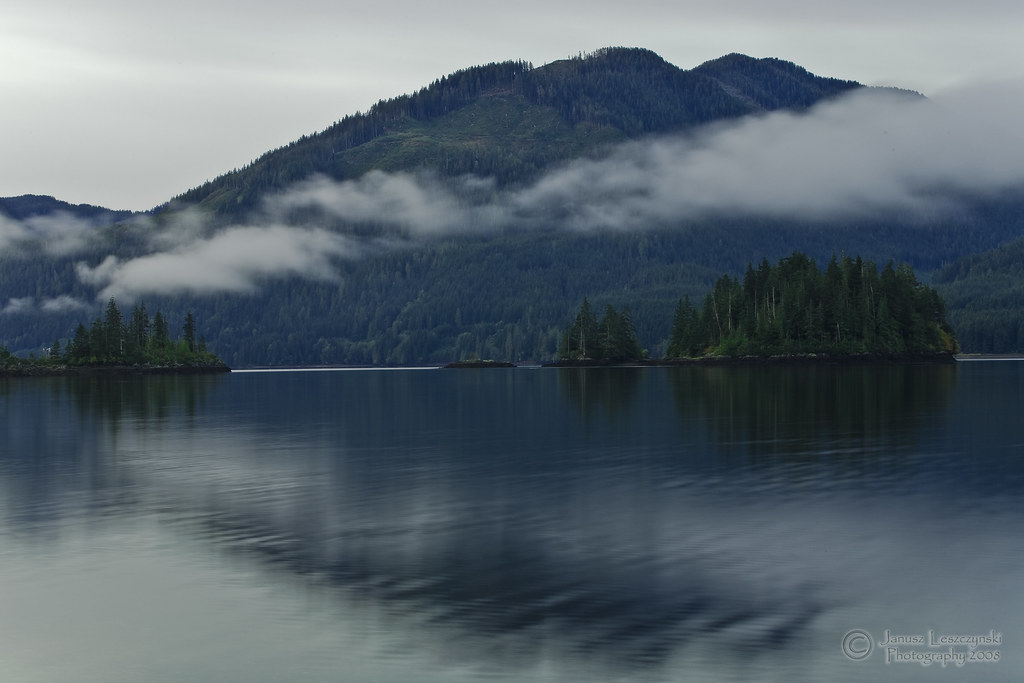
As good as it gets
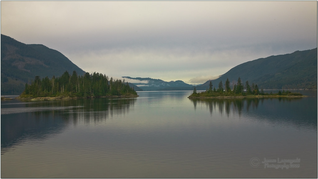
Islandes in the inlet
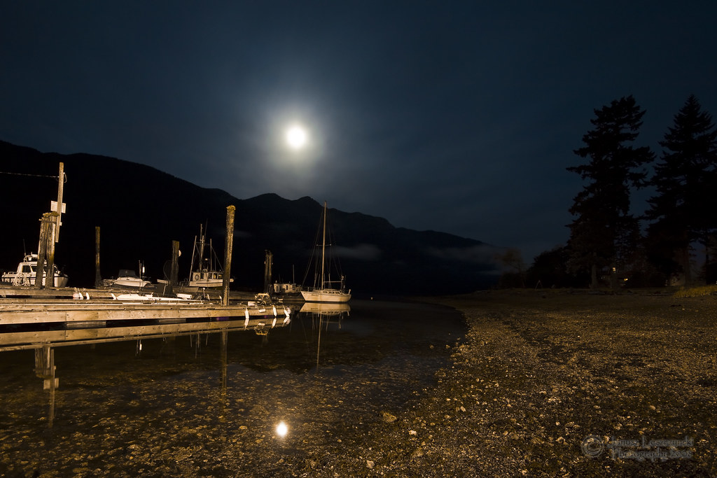
Sleepy Pier
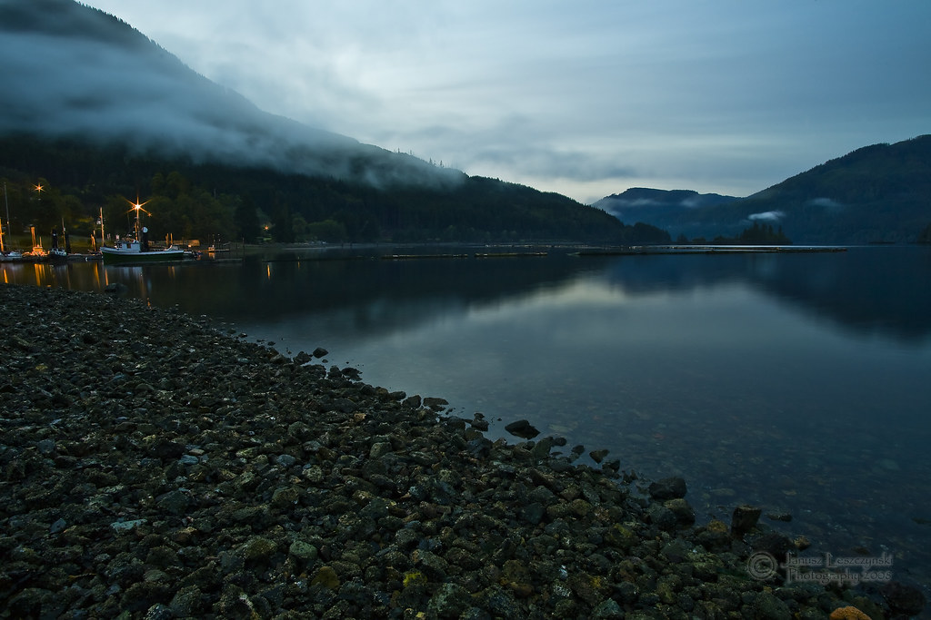
Beach - West Coast Way
2013-08-31 Alice Lake Panorama
2013-08-31 Alice Lake Panorama 2
Port Alice Marina
Cheryl Mackay_Looking Below_Savory Island_BC
Topographic Map of Mount Waddington C, BC, Canada
Find elevation by address:

Places in Mount Waddington C, BC, Canada:
Places near Mount Waddington C, BC, Canada:
Cayuse Creek
Broughton Strait
Mine Rd, Port McNeill, BC V0N 2R0, Canada
Broughton Strait Campsite
Port Mcneill
Garibaldi Peaks
Nimpkish Lake Provincial Park
Alert Bay
V0p 1j0
Alder Bay Rv Park & Marina
Little Huson Caves Parking Lot
Mount Waddington B
Stubbs Island Whale Watching
Telegraph Cove Rd, Telegraph Cove, BC V0N 3J0, Canada
Telegraph Cove Campground
Anvil Peak
Zeballos
Strathcona
7 Cain Dr
17 Klaklakama Ave
Recent Searches:
- Elevation of Corso Fratelli Cairoli, 35, Macerata MC, Italy
- Elevation of Tallevast Rd, Sarasota, FL, USA
- Elevation of 4th St E, Sonoma, CA, USA
- Elevation of Black Hollow Rd, Pennsdale, PA, USA
- Elevation of Oakland Ave, Williamsport, PA, USA
- Elevation of Pedrógão Grande, Portugal
- Elevation of Klee Dr, Martinsburg, WV, USA
- Elevation of Via Roma, Pieranica CR, Italy
- Elevation of Tavkvetili Mountain, Georgia
- Elevation of Hartfords Bluff Cir, Mt Pleasant, SC, USA