Elevation of Nome, TX, USA
Location: United States > Texas > Jefferson County >
Longitude: -94.424357
Latitude: 30.03577
Elevation: 14m / 46feet
Barometric Pressure: 101KPa
Elevation Map:
Satellite Map:
Related Photos:

Chevrolet 6400

Door to the Past

The Wheels of Time

Open Door to the Past
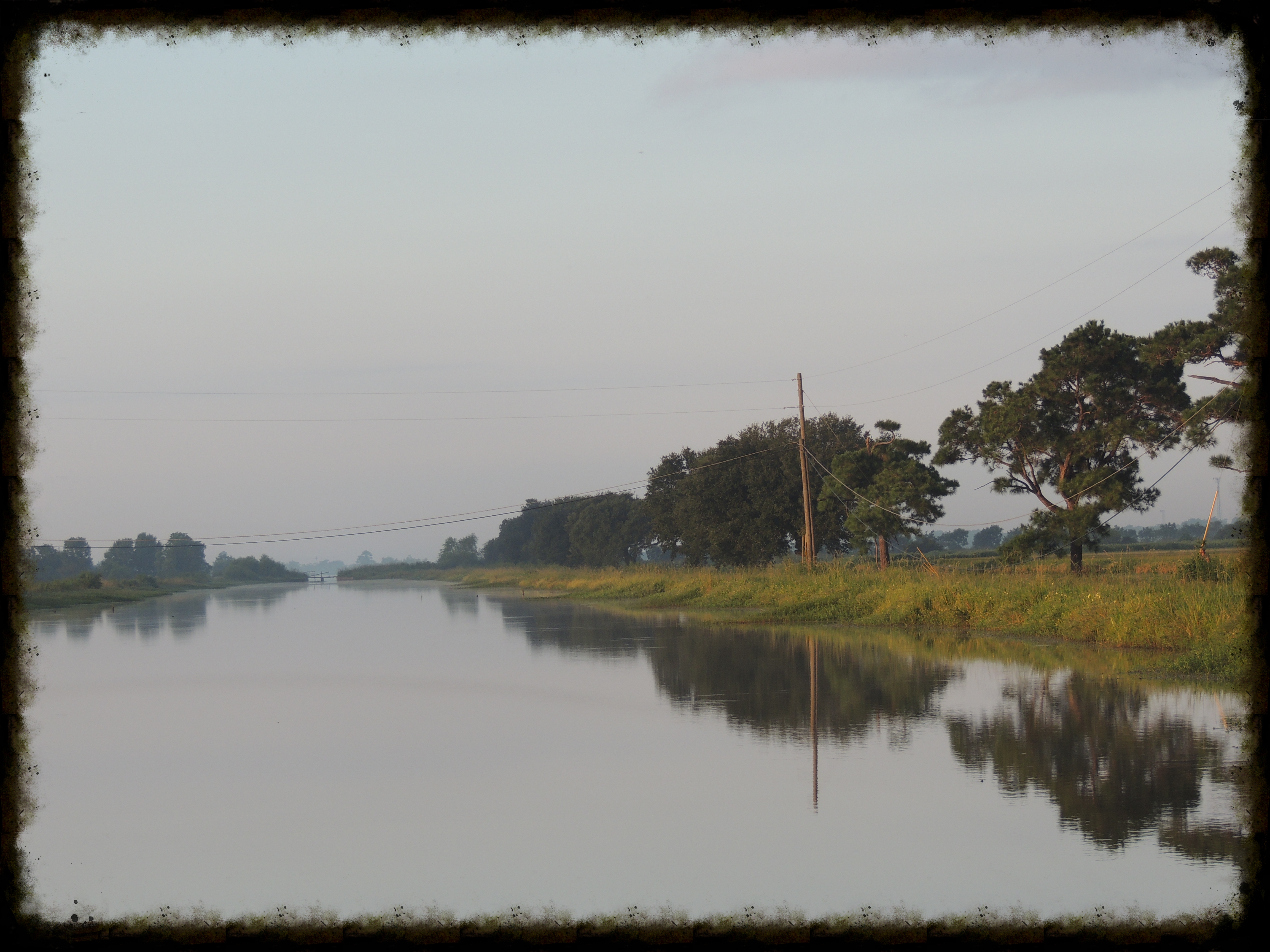
Rice Irrigation Canal

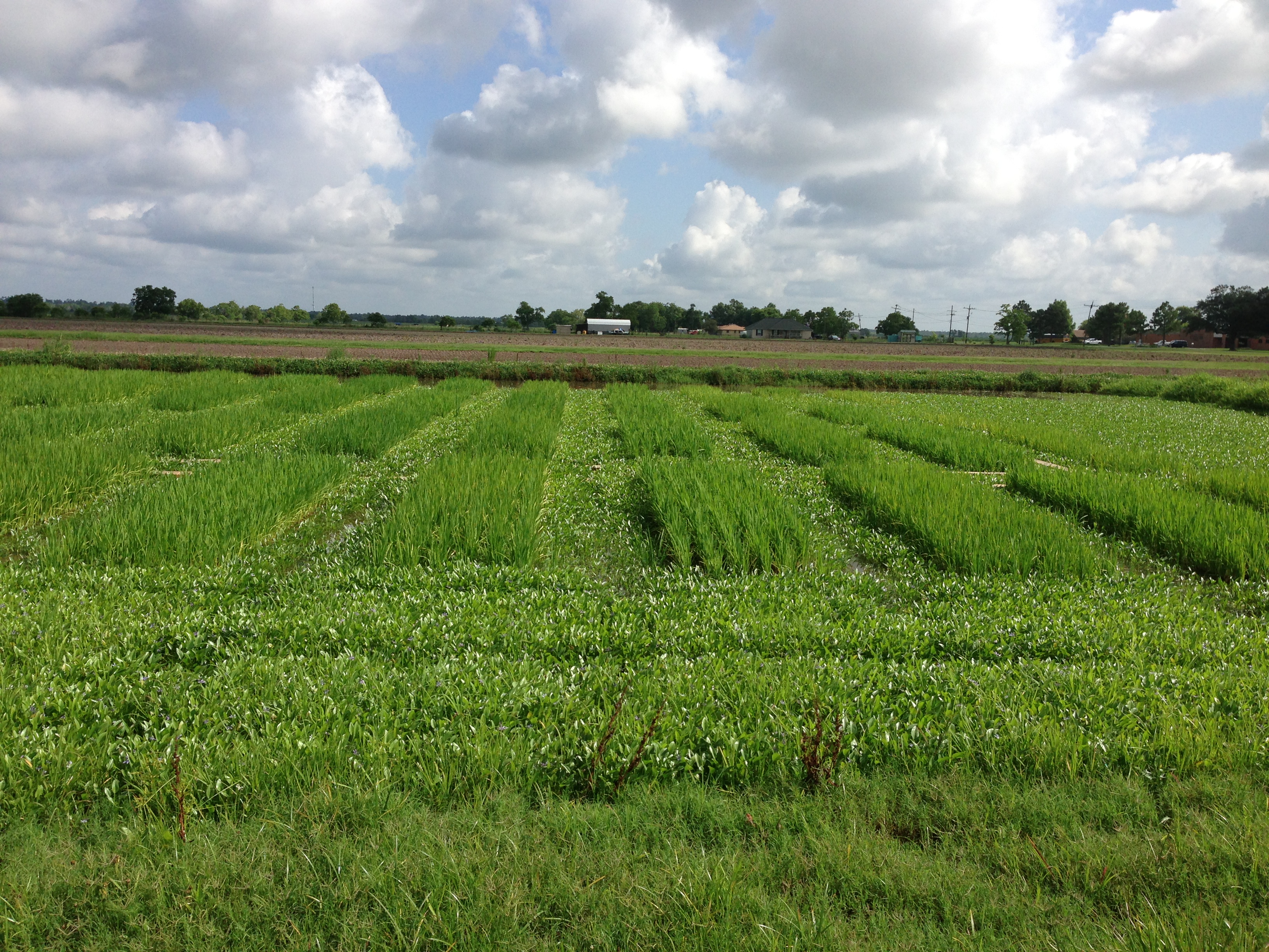
Morning Mist Over a South Texas Rice Field
EMBHLU3 009

20121006-DSC04069

EMBHLU3 003

EMBHLU3 026

EMBHLU3 027
2016:08:28 17:49:29 Flickr-346
EMBHLU3 010
Topographic Map of Nome, TX, USA
Find elevation by address:

Places in Nome, TX, USA:
Places near Nome, TX, USA:
North St, Beaumont, TX, USA
1650 Kotz Rd
4382 Fm 1009
Wagley Road
4141 Thompson Rd
1301 Broadway
2440 Turner Rd
26810 Fm 365
26810 Fm 365
Devers, TX, USA
795 Co Rd 105
FM, Devers, TX, USA
League Road
3178 S Pine Island Rd
2618 S Pine Island Rd
Woodland Drive
11195 Cole Dr
13201 S Fork Dr
13205 S Fork Dr
11235 Cole Dr
Recent Searches:
- Elevation of Corso Fratelli Cairoli, 35, Macerata MC, Italy
- Elevation of Tallevast Rd, Sarasota, FL, USA
- Elevation of 4th St E, Sonoma, CA, USA
- Elevation of Black Hollow Rd, Pennsdale, PA, USA
- Elevation of Oakland Ave, Williamsport, PA, USA
- Elevation of Pedrógão Grande, Portugal
- Elevation of Klee Dr, Martinsburg, WV, USA
- Elevation of Via Roma, Pieranica CR, Italy
- Elevation of Tavkvetili Mountain, Georgia
- Elevation of Hartfords Bluff Cir, Mt Pleasant, SC, USA